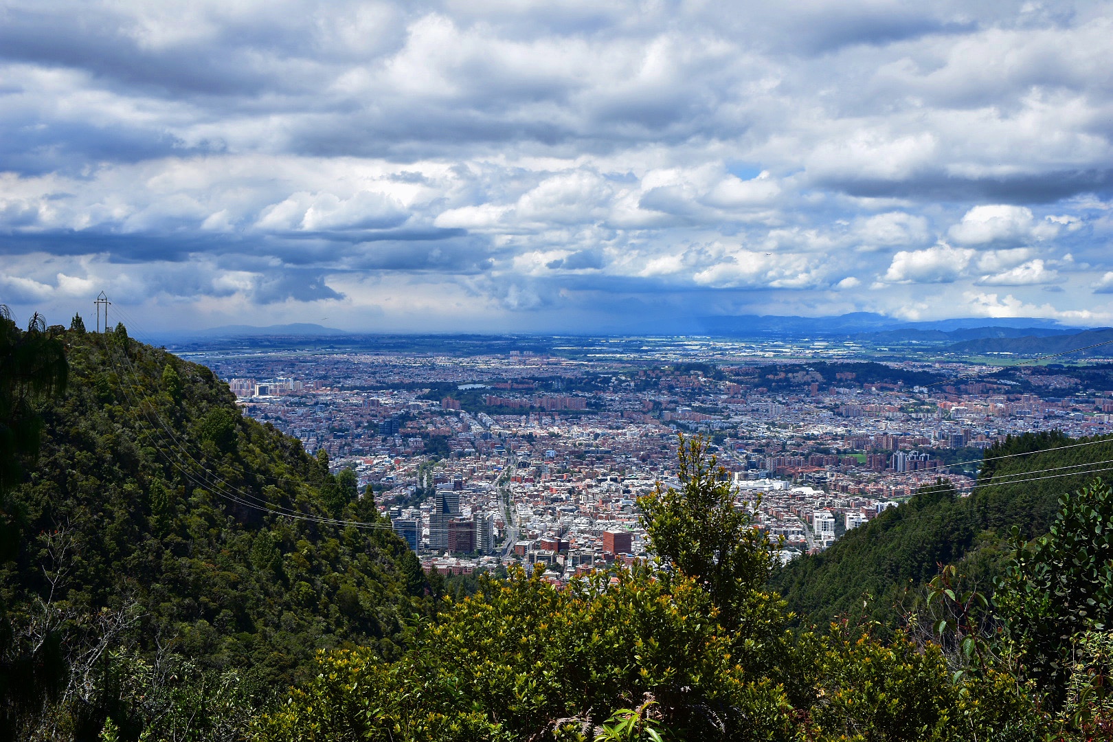
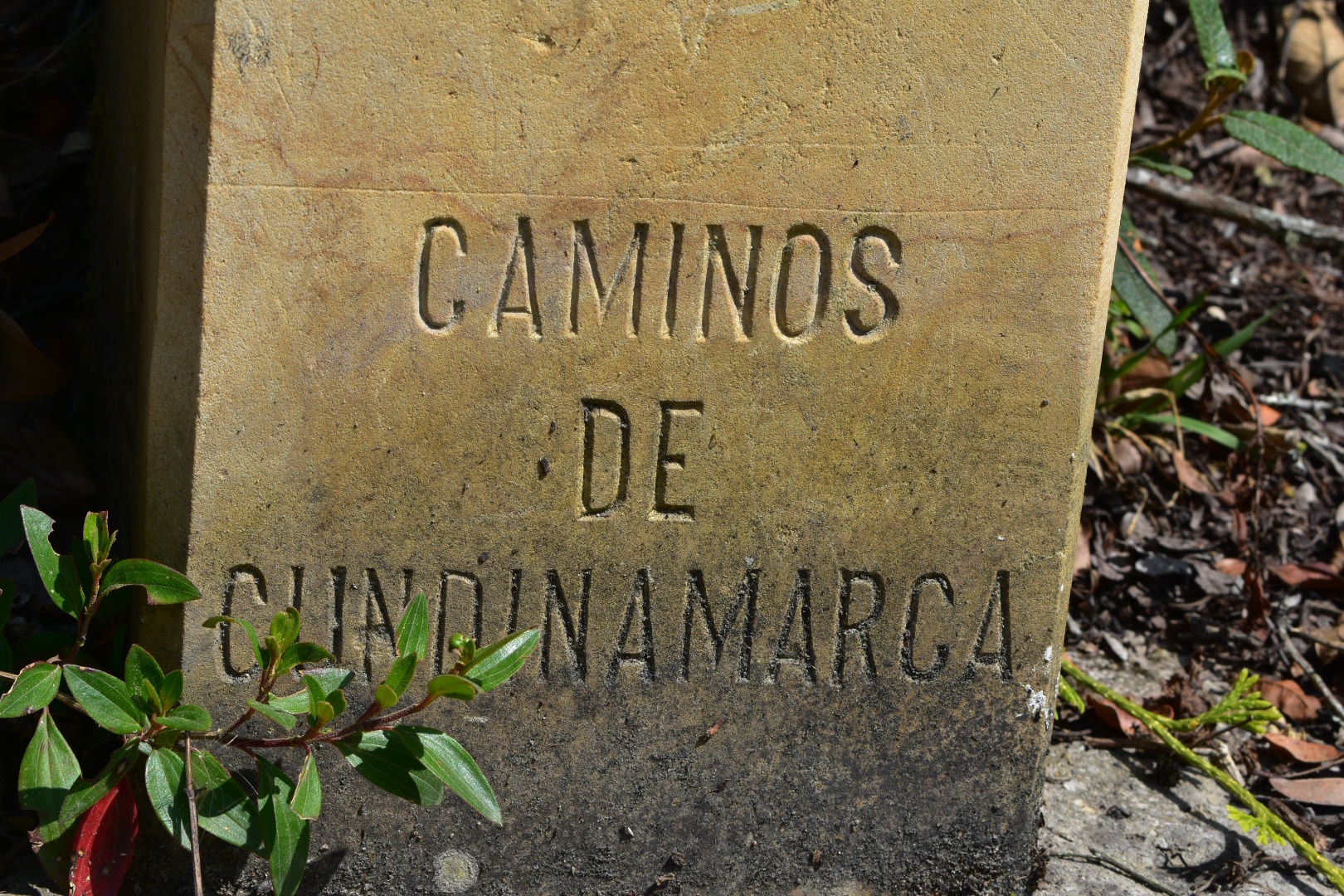
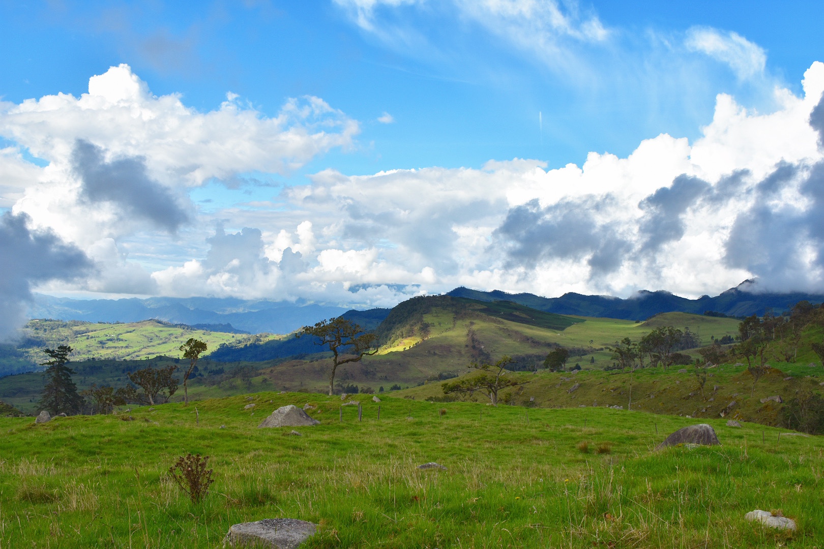
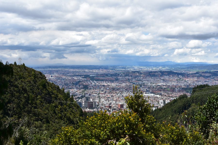
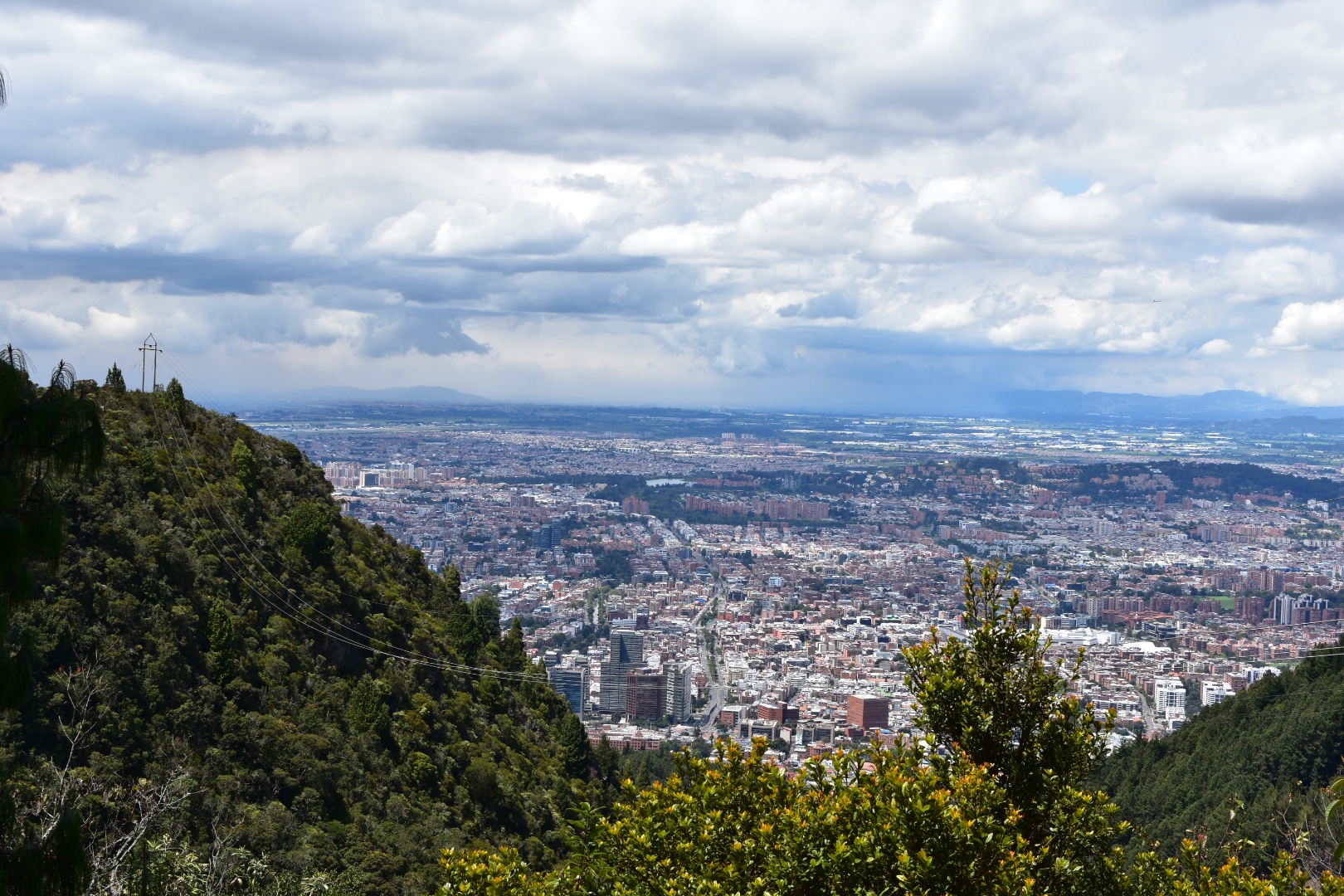
Bogotá, Colombia’s capital city, is sprawling a metropolis, which more than 10 million people call home. Situated on a high plateau in the Altiplano Cundiboyacense region of the Andes mountain rage, the average altitude is an eyewatering 2600 metres. Bogotá is surrounded by cerros easily exceeding 3000 metres and is the perfect base for numerous weekend and day trips where you can experience unique fauna and eco-systems of the Colombian high Andes which are not found anywhere else in the world.
This post is the result of seven months research and personal hiking activities. I took every opportunity to “escape the city” into the surrounding cerros and mysty valleys, exploring every opportunity that I could find. I have listed them here so that you can also easily find and enjoy the same treks.
For more inspiration read about 7 lesser known locations that you need to explore during your time in Colombia.
Day Hikes from Bogotá
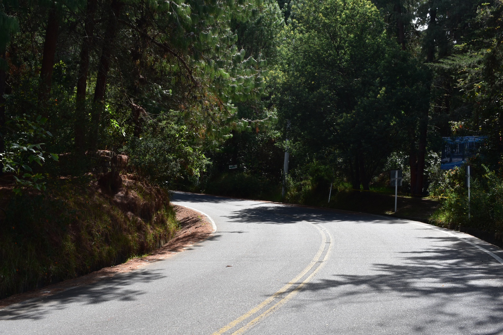
There are a many day hikes that are easily reachable from Bogotá, some even start in the city itself and you can just walk up straight up into the cerros. Others are a short journey from one of Bogotá’s bus terminals or by car. The main problem with leaving the city is traffic and the slow bus system. Do make sure you leave early, and if taking public transport, which I would fully recommend take a taxi or Uber to the bus terminal. They tend to be cheap and the extra cost will save you the nightmare of crossing the city using the Transmilenio.
Note that all of this information was correct before COVID-19 restrictions were in place. Please do check before you travel.
1. Mirador Aguadora
One of the many many paths leading up into the mountains surrounding Bogotá is the Mirador Aguadora hike. This short hike is perfect for a Sunday Morning excursion and definitely one for the kids and when you reach the top you can see panoramic views of the city. Its a great little hike, especially if you have just arrived and want to get used to the altitude or if you are looking for something not to strenuous and want to avoid the crowds at Montserrat. And the best thing about the hike is that its absolutely free! Starting in Usaquen amongst the market and restaurants means you can finish off with a well deserved, beer, ice cream or pizza, whatever takes your fancy. For those looking for a slightly longer hike then this one is easily combined with the Camino del Indio (see below), which follows straight on when you reach the top…more.
2. Camino del Indio
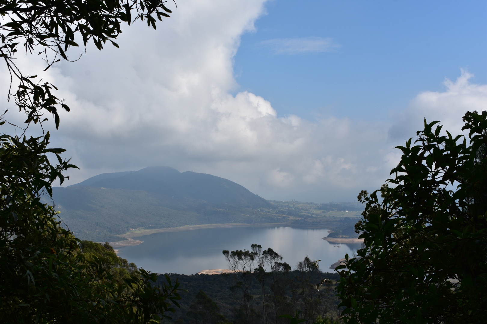
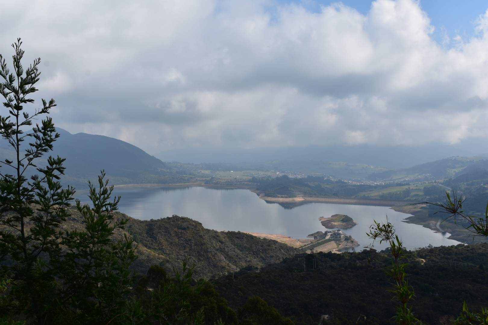
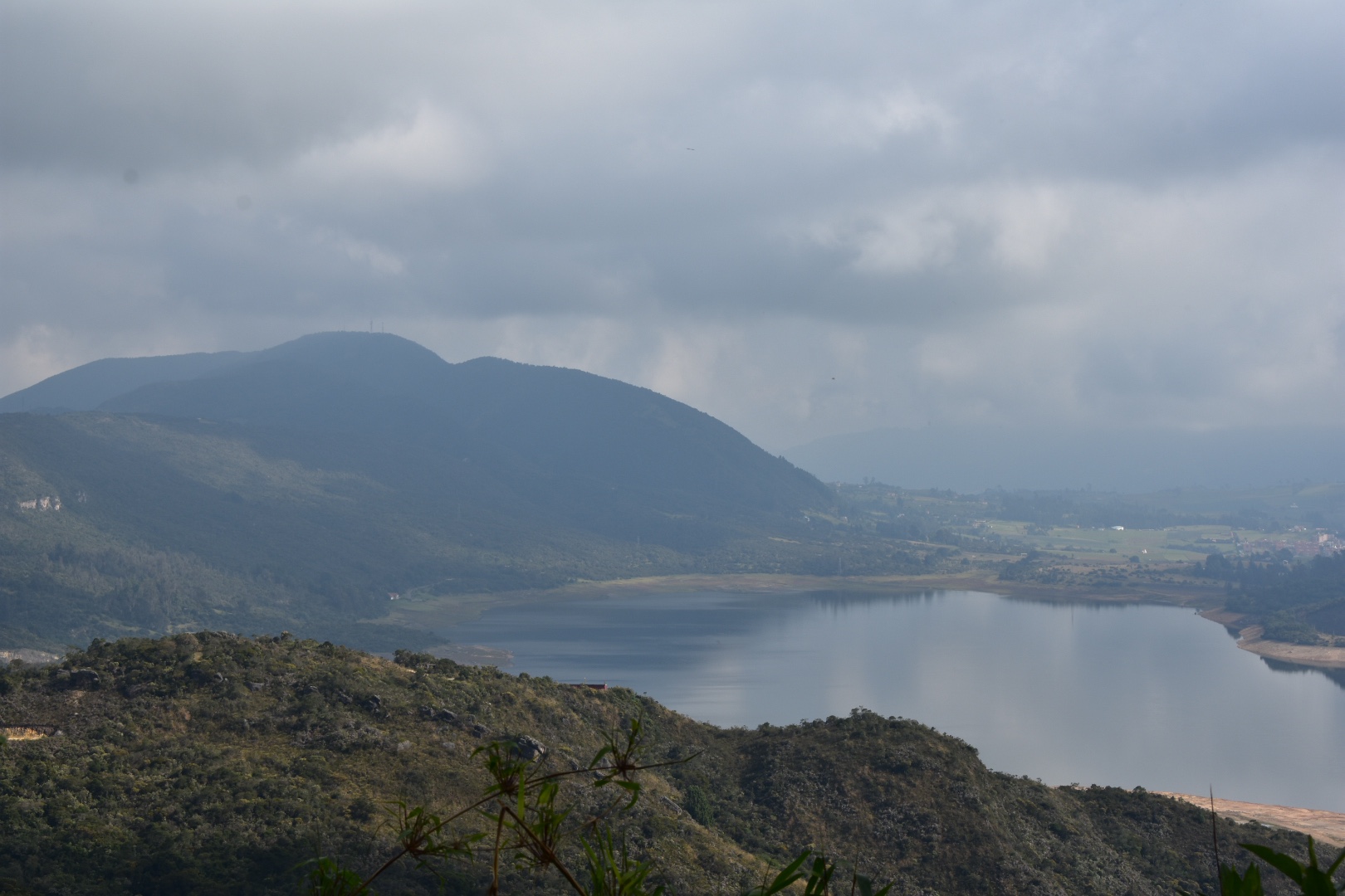
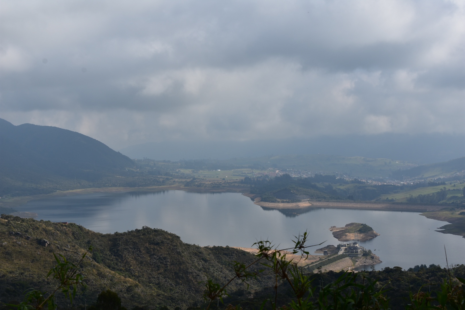
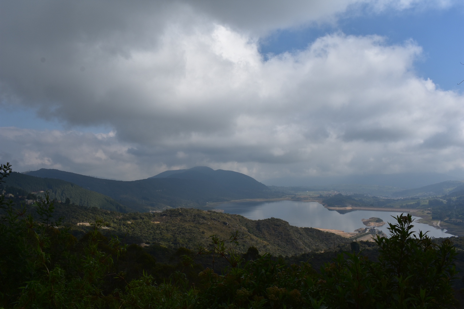
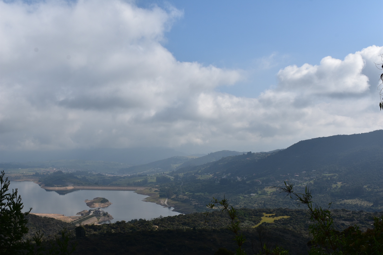
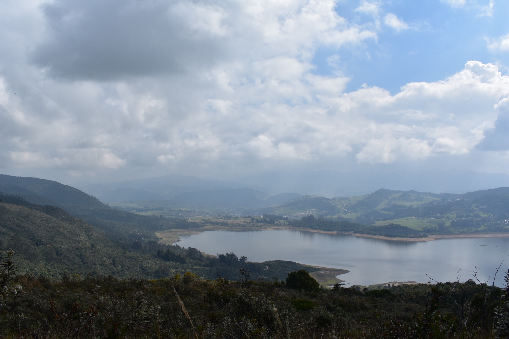
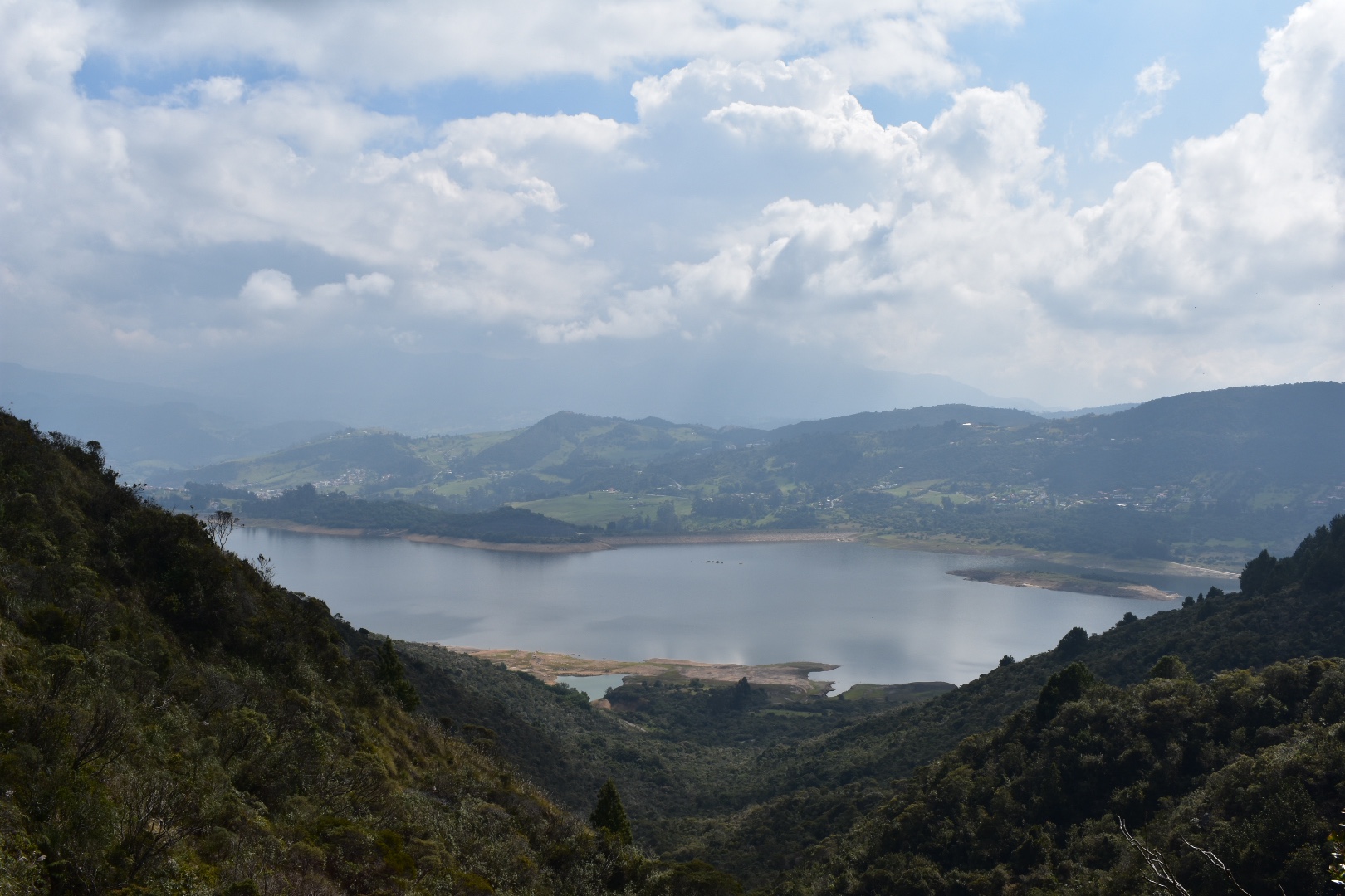
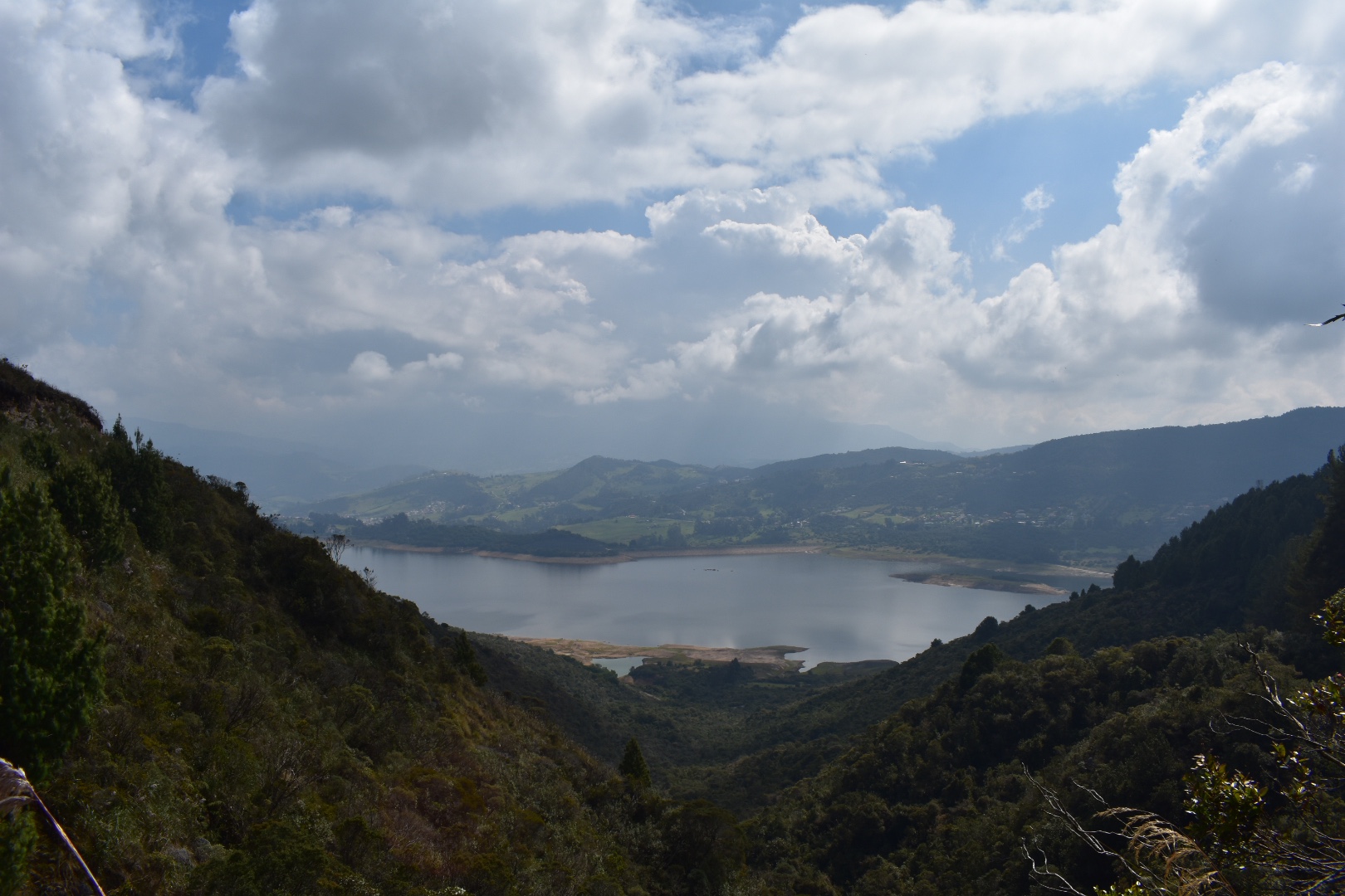
Camino del Indio follows a path that the indigenous peoples of the Bogotá Savannah used to traverse that leads down through the evergreen mountain forests, east of Bogotá, to La Calera. It’s a stunning and short hike that takes you above the Emblase de San Rafael, the reservoir which is the lifeblood of Bogotá, which provides a visually stunning backdrop to this hike through the Andes. The 12km route can easily be completed in around 4 hours and there are a variety of ways to complete the trek as it can act as an extension to the Mirador Aguadora hike…more.
3. La Quebrada la Vija
Set in the Cerros Orientales, the mountains to the east of Bogotá, the great thing about Quebrada La Vieja is that it is 4 hikes in one. The hikes are short, well maintained, not too challenging and at the end you get a stunning view of Bogotá as your reward. Best of all they are completly free! Anyone who has been to Bogotá will know that surrounding the valley are lush green Cerros Orientales mountains often topping 3000 metres. The path was previously closed due to safety reasons and the number of hikers, over 2000 each day, causing damage. The government sensibly stepped in, have spend time re-cutting the paths, protecting the area and after ecological survey there is now limited access. You will need to make a reservation on the website and from there you can select a date and time to hike. The paths are open all year, except on Mondays for maintenance, or if a holiday falls on a Monday they will be closed on the Tuesday. It’s not a complex as it sounds…more.

4. Cerro de Monseratte
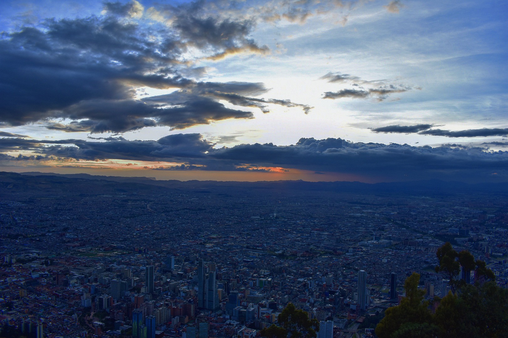
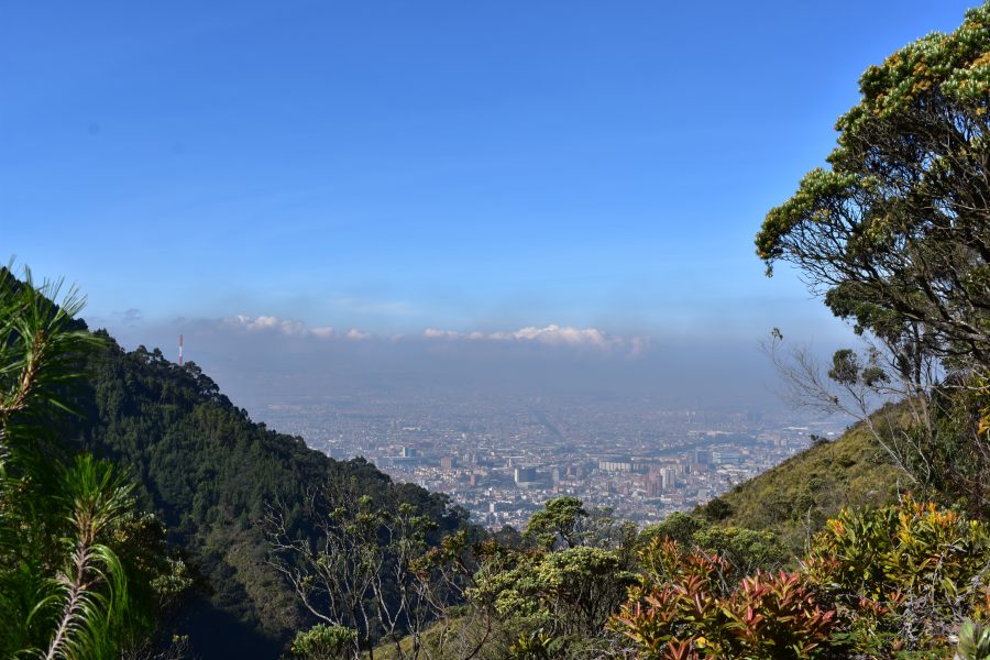
Perhaps the number one destination for panoramic views of downtown Bogotá, for both tourists and locals alike, is Cerró de Monserrate. Famous for its church, where on Sundays legions of parishioners make their way up, via cable car, train and hiking, for the weekly service, the Cerro provides a little sanctuary from the bustling city below. Travel up in the evening to enjoy the sun set over the Andes and see the skyline come alive with lights or take an early morning hike and reward yourself with a deserved Agua de Panela when you arrive…more.
5. Cerro de Guadalupe
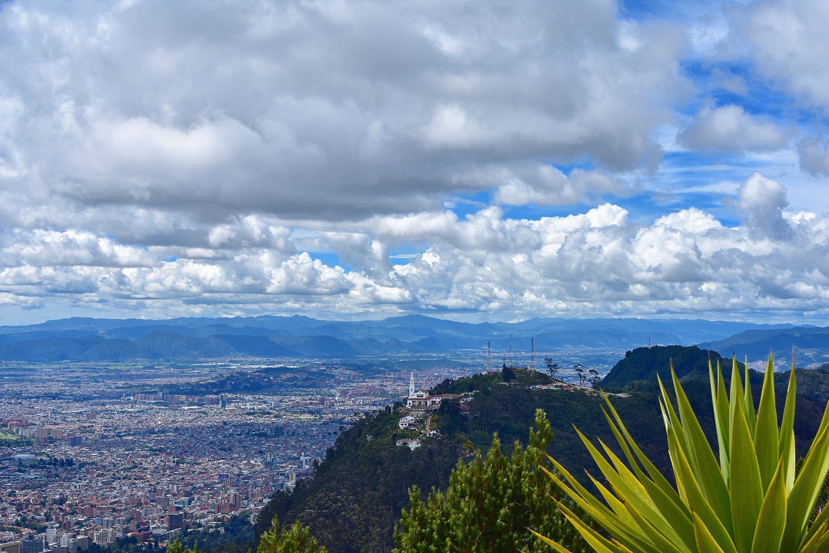
The stunning Cerró de Guadalupe stands out in Bogotà’s skyline where the statue of the Virgin of Guadalupe, built by sculptor Gustavo Arcila Uribe in 1946 and the accompanying chapel are visible from vantage points across the city. Situated in the eastern hills across from Cerró de Monserrate, Bogotá’s premier tourist attraction, which also offers great views of the statue. Cerró de Guadalupe is much less popular, but arguably the more beautiful cousin, and is well worth a trip. The views of the Bogotà Savannah are stunning, with a better angle to see more of the city and being less popular means that you can have the peak to yourself and enjoy a tranquil respite from the metropolis…more.

6. La Chorrera Waterfall
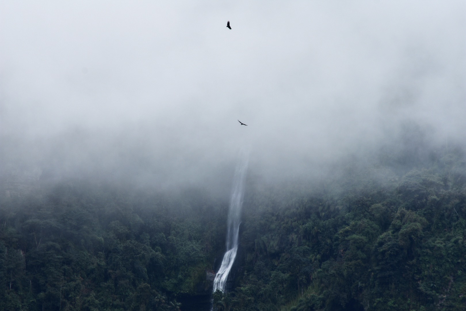
One of the more frequented hikes near Bogotá, the La Chorrera waterfall is the highest waterfall in Colombia with a 590 metre drop and the sixth highest in South America. A short one hour trip on the bus will transport you to a different world, away from the polluted metropolis of Bogotá, where you can explore the green Colombian Andes valleys and trek Latin America’s 6th highest waterfall. Once off the bus you can either choose to hike along the 4km road or catch a lift in of the 4×4 cars that will whisk you there from the main road. To see the waterfall at it’s best make sure you visit in rainy season or soon after as the falls can reduce to a trickle in the dry season. It’s a great day out and the perfect starter hike if you have recently arrived in Bogotá and want to acclimatise…more.

7. Matarredonda Ecological Park
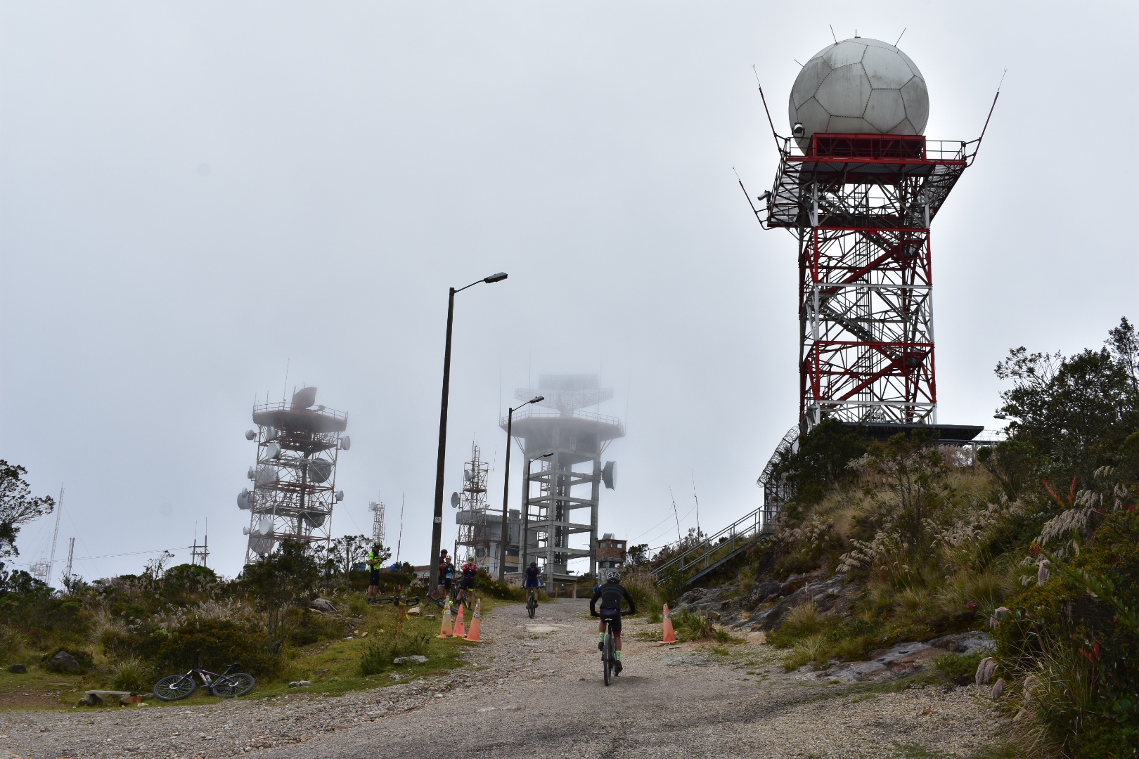
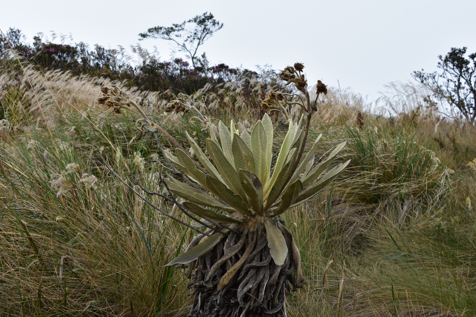
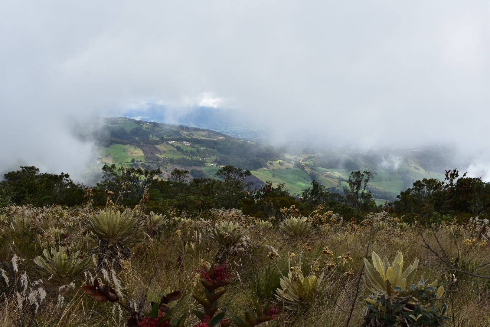
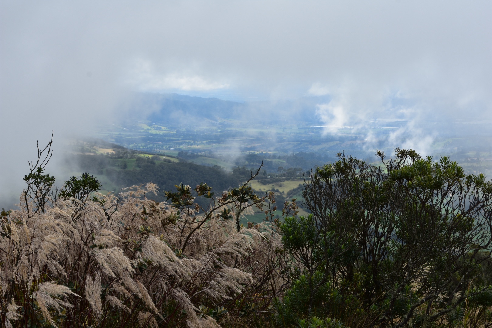
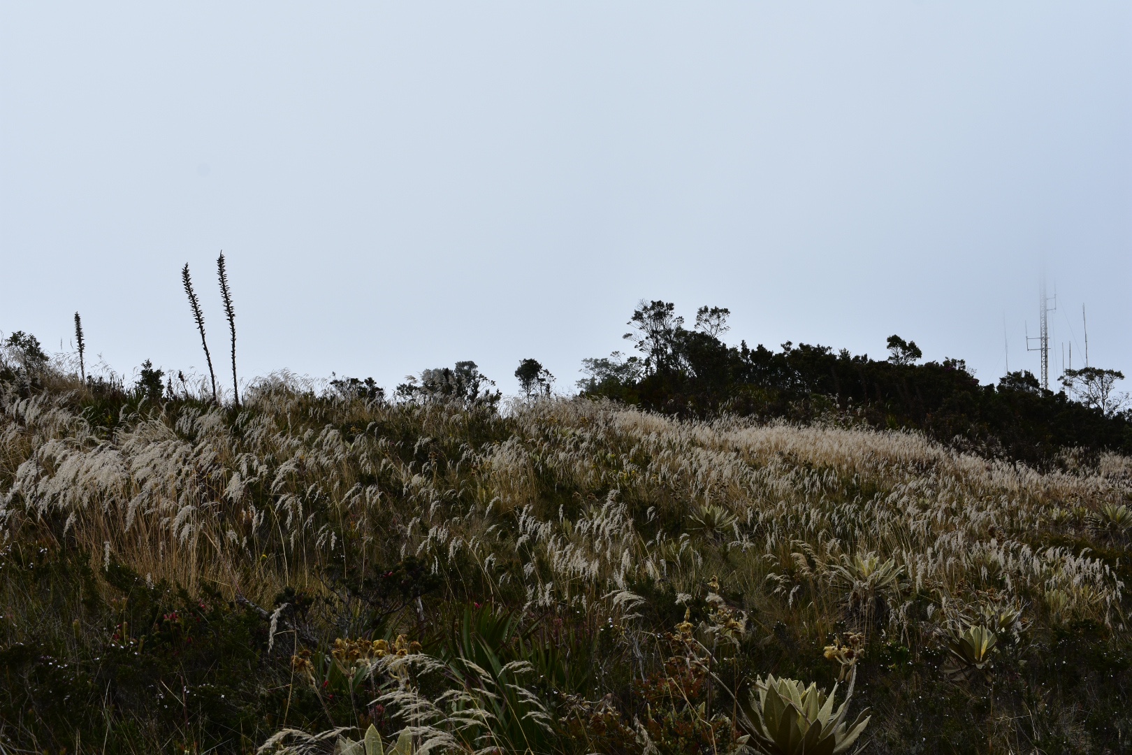
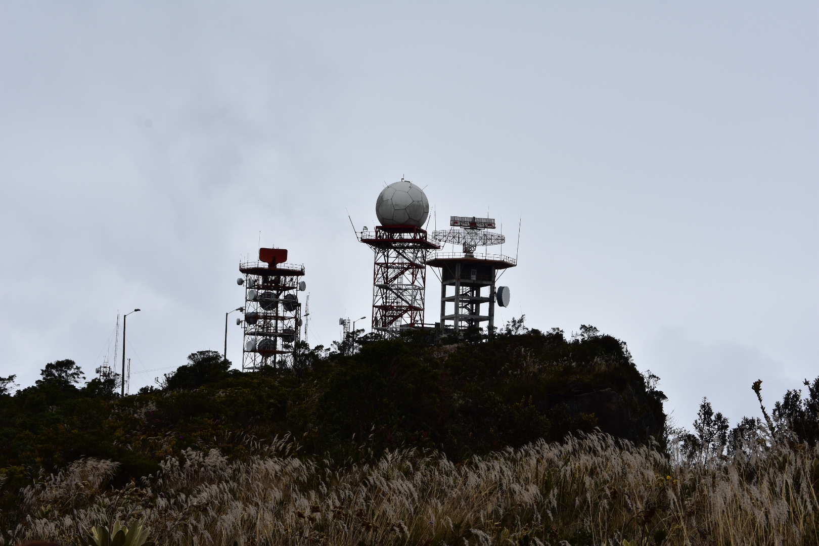
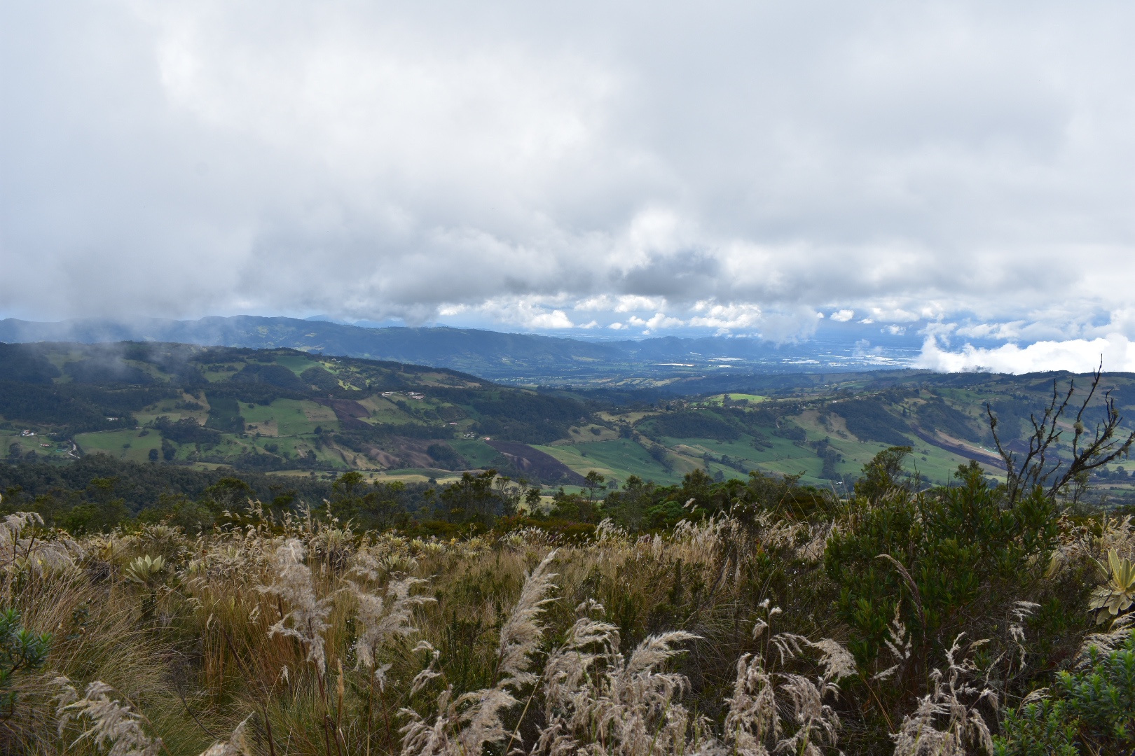
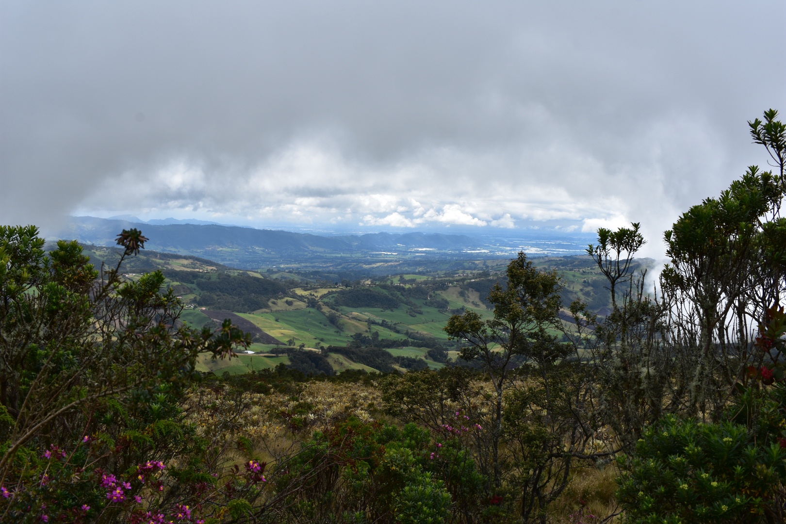
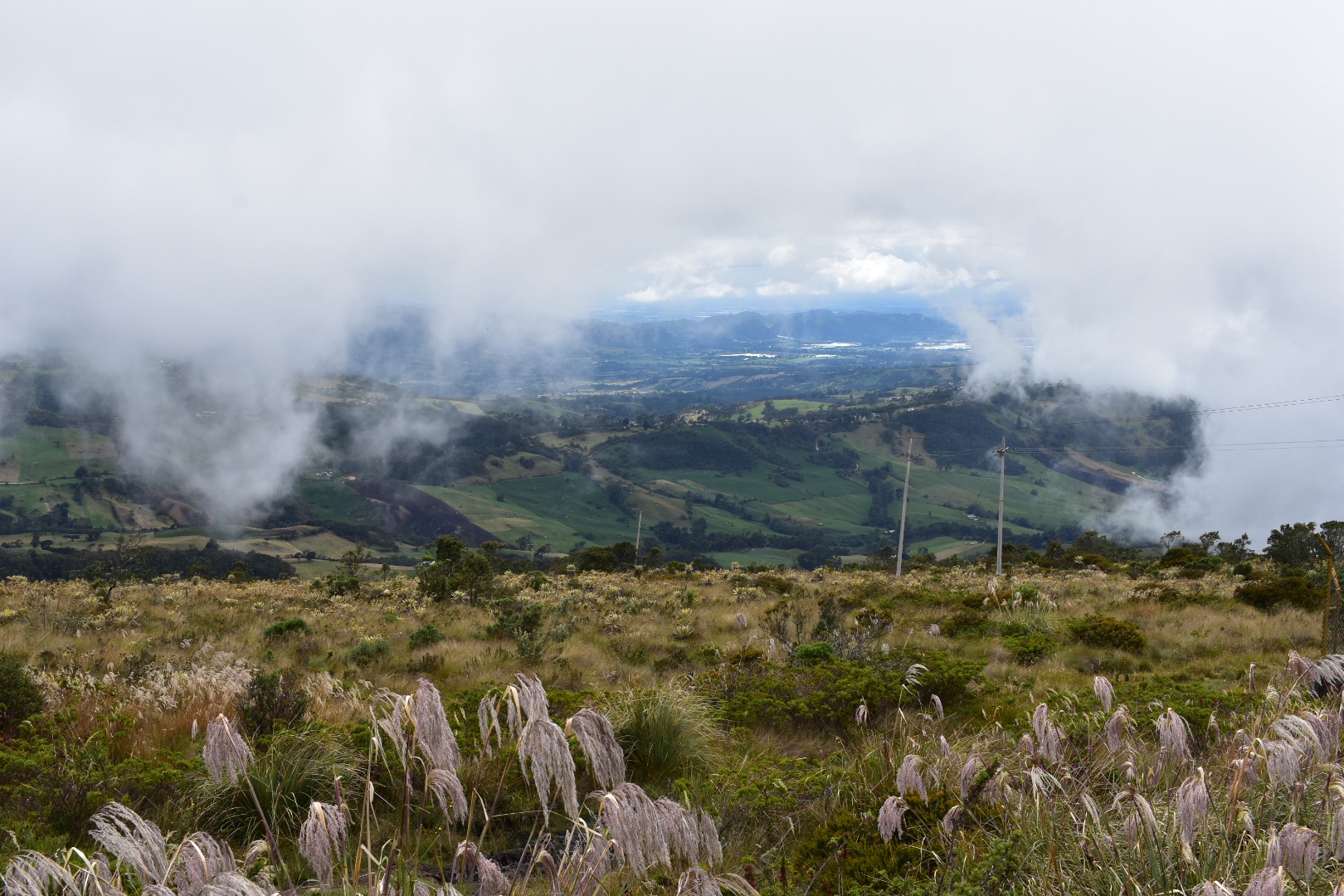
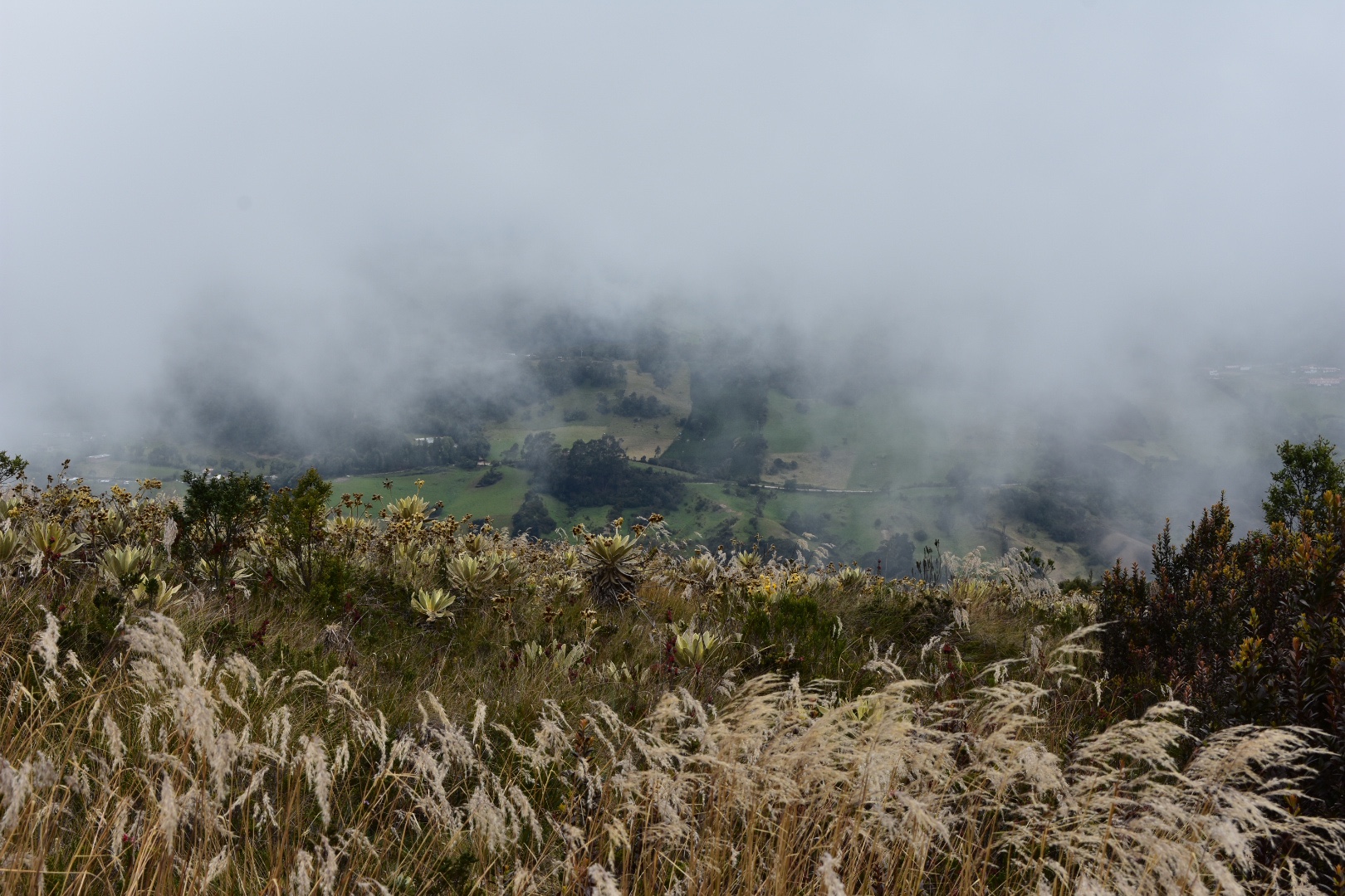
Parque Ecológico Matarredonda is a páramo situated right on Bogotá’s doorstep. Less than an hours travel by bus you are transported into a different world far away from the pollution and noise of the bustling metropolis. The park is very accessible with well marked and maintained trails taking you through the unique páramo landscape, around blue lagoons and up mountain peaks of 3600 metres. The weather will also change your experience, expect anything from clear blue skies to deep rolling fog, meaning repeat visits are a must. Once you are dropped off by the bus you can grab a hot chocolate to warm you up before the hike and after you hike stop for lunch in the small restaurant close to the entrance…more.


8. Chicaque Park

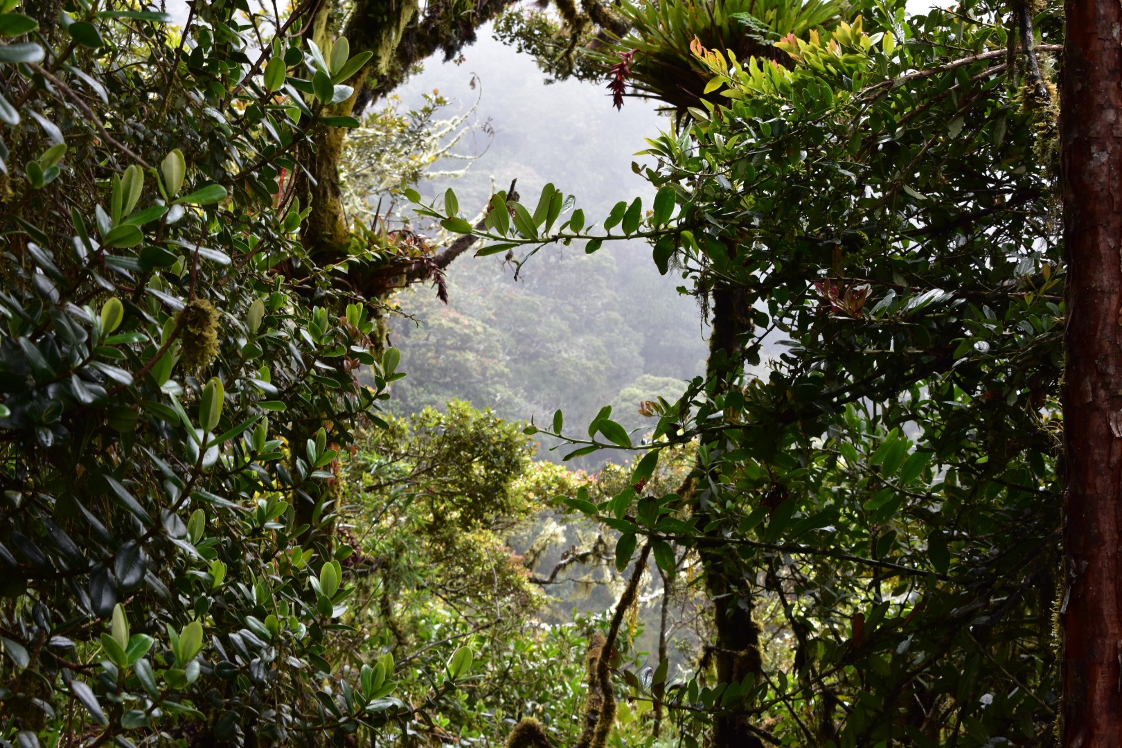
Parque Natural Chicaque is set in a high mountain cloud forest a stones throw away from Bogotá. The wind blows the clouds around the mountain tops allowing you to snatch glimpses of the valley below as you descend with an ever changing view. The lush green forest has so many unique plants you will feel as if you are in a jungle a world away from the smoggy capital and it is well worth a visit. The well marked paths are perfect for all ability hiking and the park is open for bird watching, camping and horse riding or you can ride in one of the jeeps to the hotel and relax…more.

9. Cerro Quinini
Cerro Quininí is located in a natural park situated high in the Colombian Andes. Surrounded by green mountains from horizon to horizon you can see birds of prey hunting in the warm coffee growing region. Located a only two hours drive from Bogotá you will be amazed how much the landscape and climate change in the short distance as the constant cold is replaced with warm and sunny days, with enough cloud cover to keep you protected when hiking. The small towns in the region make this the perfect weekend getaway from the bustle, cold and pollution of Bogotá. You can come and stay on one of the many coffee farms or in one of the small towns and enjoy playing Tejo with the locals…more.

10. Chuchilla Cerro El Tablazo
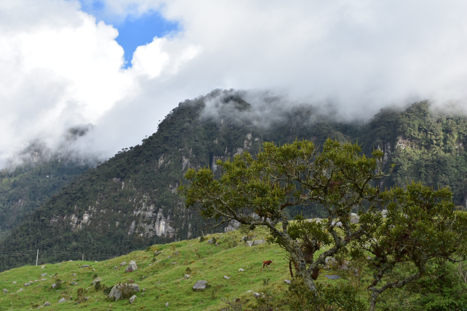
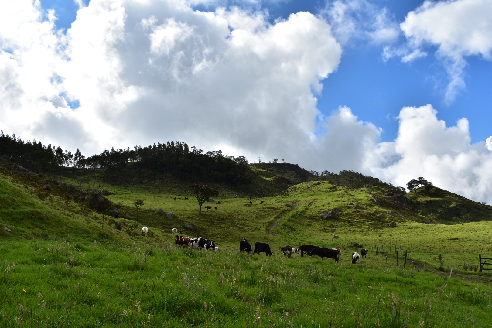
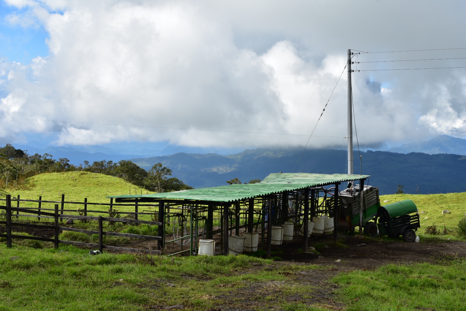
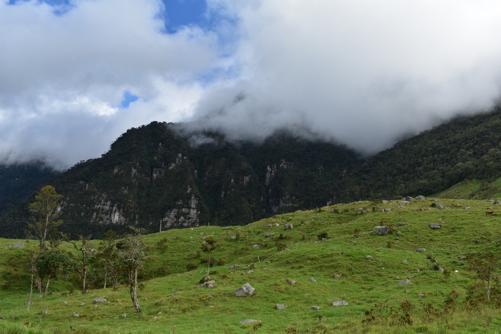
Cuchilla El Tabazo is considered the jewel in the crown of the Western Bogotà Savannah. Rising to 3500 metres high it serves as a natural wall the height of the cliff stops the clouds from the warmer climates in the regions below surrounding the palmero and forest in fog. This creates a mysterious landscape that is completly unique to this region. The wind currents that the birds use to glide reveal the beautiful landscape for miles and miles. From here you can hike down to Supatá, a small town set at 1800 metres where the temperature is tropical and you can wash back a beer before taking the bus back to Bogotà. Descending 1700 meters over the course of 14km, you will see the vegetation change feel the temperature rising. This hike is a truly one off experience where you can walk down from the dense cloud forests into the local dairy farms situated in the picturesque lush green valleys far below…more.
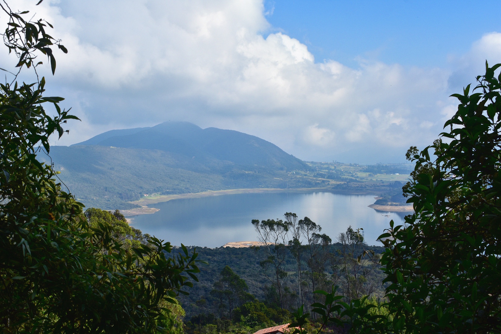
11. Laguna de Guatavita
Laguna de Guatavita, one of the fabled locations of El Dorado, was once filled with with Gold and Emeralds. The small lake in a crater was considered sacred by the Musica people who left offerings for their Gods. Today its easily accessible from Bogotá by bus or car and for the more active there is a 7km hike along country green country roads to the entrance. The park is well maintained by CAR and their knowledgeable guides will take you on an extensive tour of the national park giving you detailed information on the history of the laguna…more.
12. Pionono Park

Located just 45 minutes north of Bogotá, Pionono Park is a peaceful mountain paradise located above the small town of Sopó, which is home to Colombia’s favourite dairy, Alpina. After hiking up to the park, or taking transport to the entrance, you will experience the beautiful panoramic views of Guatavita on one side and the Valle de Sopó on the other. You can relax in The Cabana Alpina enjoying freshly prepared deserts and sweet treats as a reward. The park itself is not too large, which makes it perfect for all abilities, and it will be a welcome relief for those who, like us, decided to walk up the steep road from the town…more.

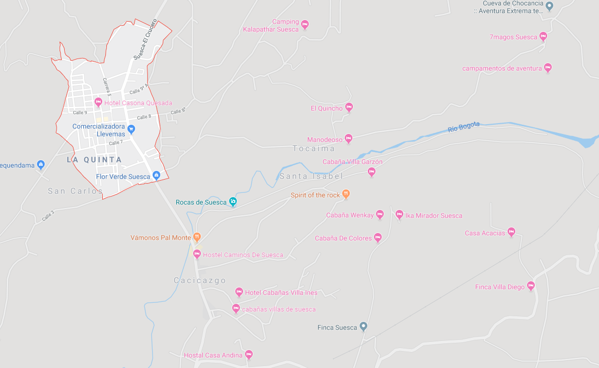
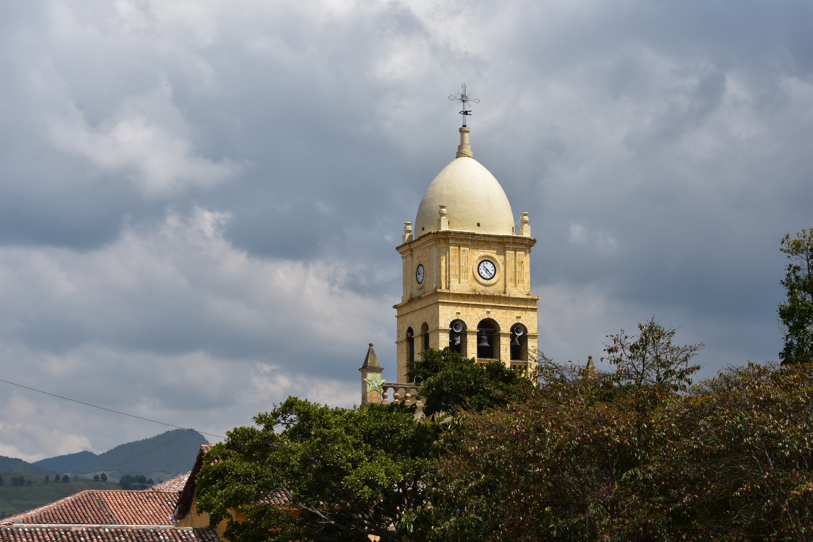
13. Suesca
Situated on the northern edge of the Bogotà Savannah, an hour outside of Bogotà, is Suesca. Famous for the Rocas de Suesca (Suesca Rocks) it’s a mecca for the outdoor activities. For the adventitious there are 500 plus climbing routes across the rocks, plenty of hiking trails, and many cycling routes. For those who require less of an adrenaline rush can take time to relax by Lake Suesca or eat in one of the many restaurants. Hiking along the ridge line along the top of the cliffs provide views of the surrounding area for miles around. The scenery is breath-taking. Or follow the railway and recreate the scenes from the movies…more.


14. Farallones de Sutatausa

The Farallones de Sutatausa are a stunning rock formation that form the back drop of Sutatausa, a small mining town 90 minutes north of Bogotà. Sacred to the local indigenous peoples the 3000 metre peak is one place that you can see the Bogotá Savannah and surrounding valleys at the same time. As you climb to the top the views of the surrounding landscape unfolding below are phenomenal. The views combined with the unique rock structure and plant foliage make this a must visit destination…more.

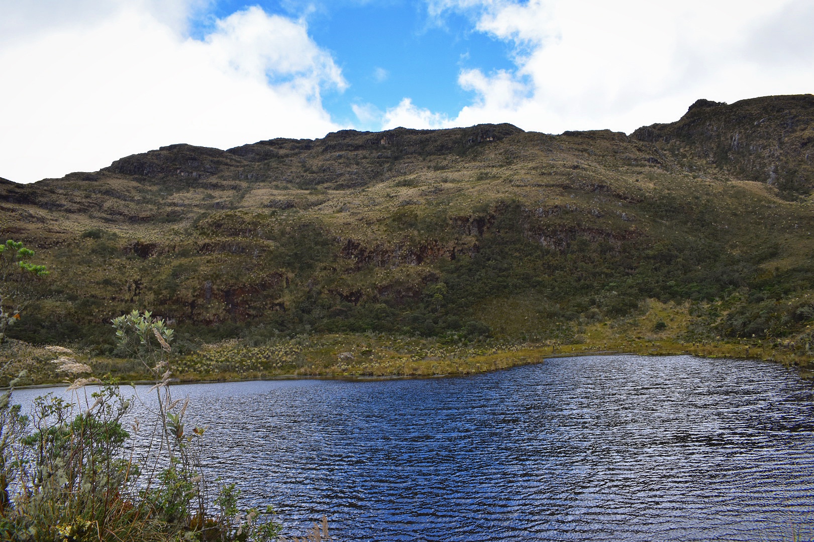
15. Laguna de Iguaque
The Sacred Laguna de Iguaque (Lake Iguaque) is a high altitude Andean lake surrounded by stunning páramo. The Muiscas, the indigenous peoples from the region, believed that humanity originated from the lake when the Goddess Bachué who appeared from the lake with a baby in her arms. The 14 kilometre hike starts in the green valleys of the Bogota Savannah and upwards through cloud forests which slowly let way to lush mountains giving you a panoramic view of the surrounding area. A three hour dive north of Bogota the hike necessitates staying in the beautiful colonial UNESCO World Herritage town Villa de Leyva for at least one night, which is perfect, as the culinary delights are a treat to feast upon the night before and to reward yourself with cold beers and delicious food the night after…more.
There are of course a few places missing form this list as sadly I ran out of time. There is of course Chingaza National Park, which is only accessible by car, and a few more in the list below if you care to explore:
Along with many, many more. You only have to look at the trails that appear on maps.me to find the places that you can visit. Enjoy!
All the above links are to external sites and I have no control of the information that they provide.
For more inspiration read about 7 lesser known locations that you need to explore during your time in Colombia.


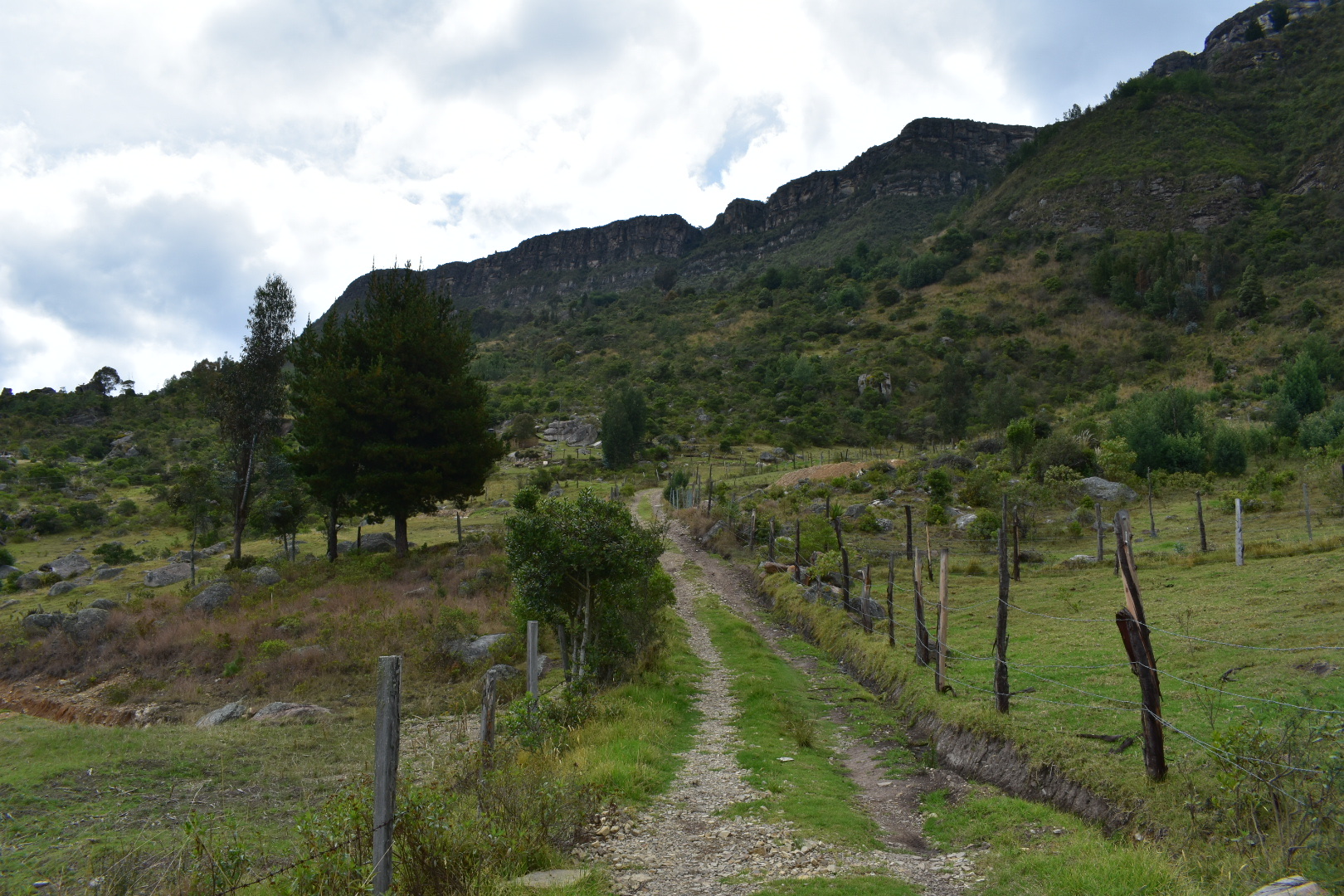
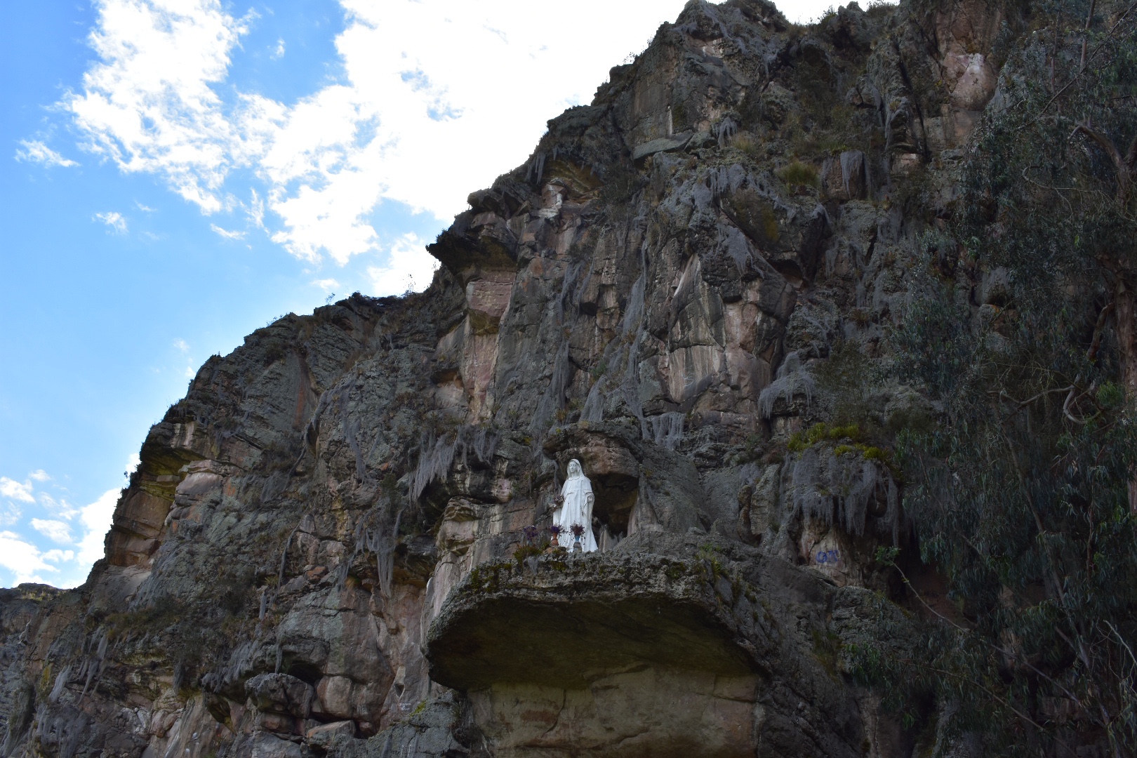
 After curving around to the right the track levelled out and I could see the cliffs and very soon saw climbers making their way up the rocks. I also spotted a Virgin Mary which I’m hoping is not a tribute to anyone who has died.
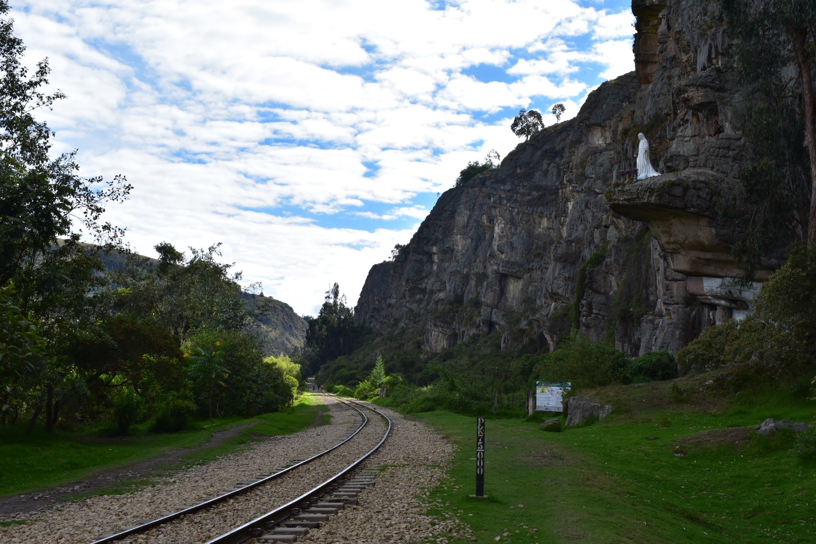
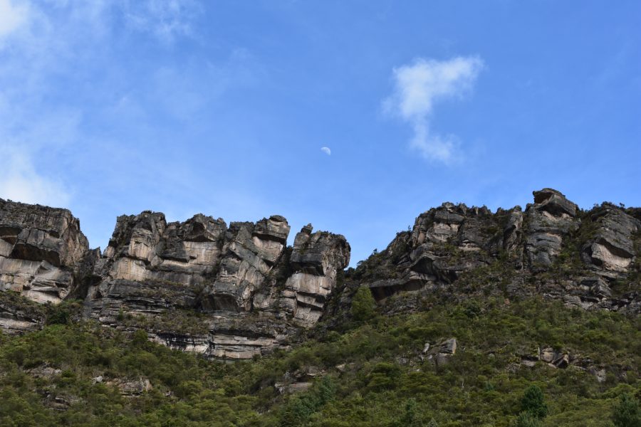
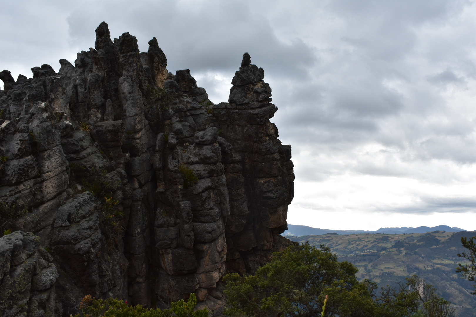
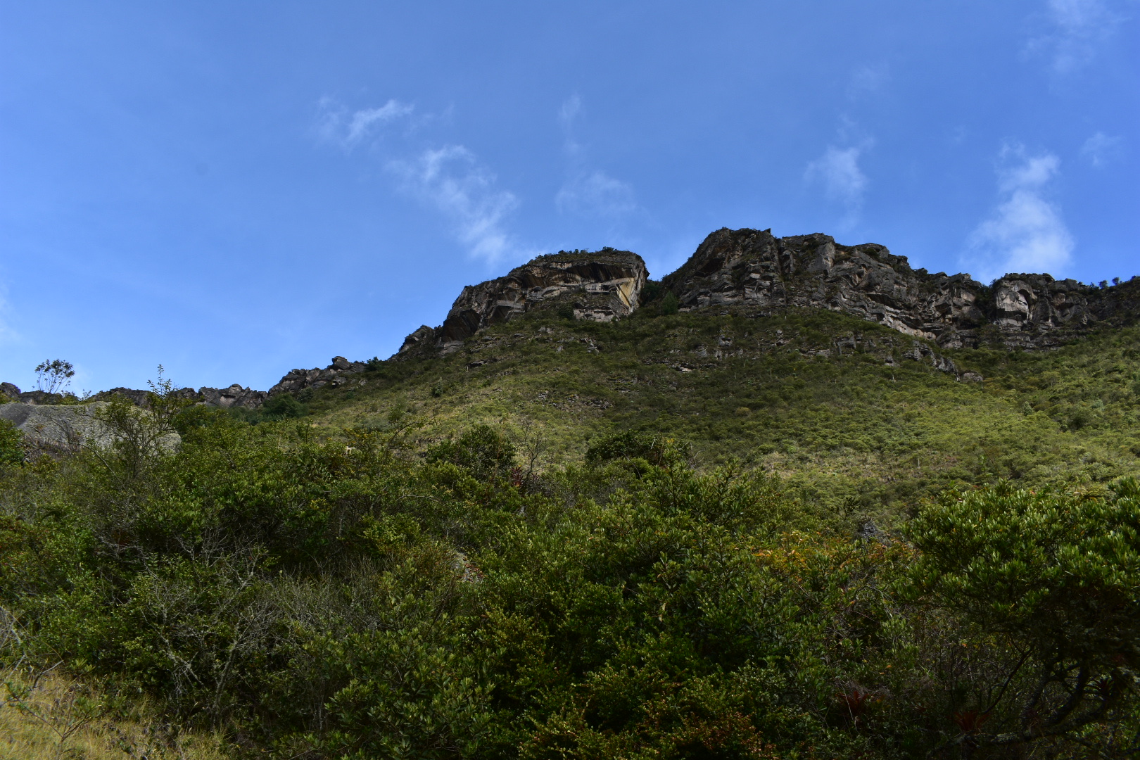
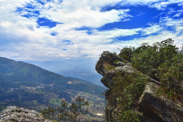
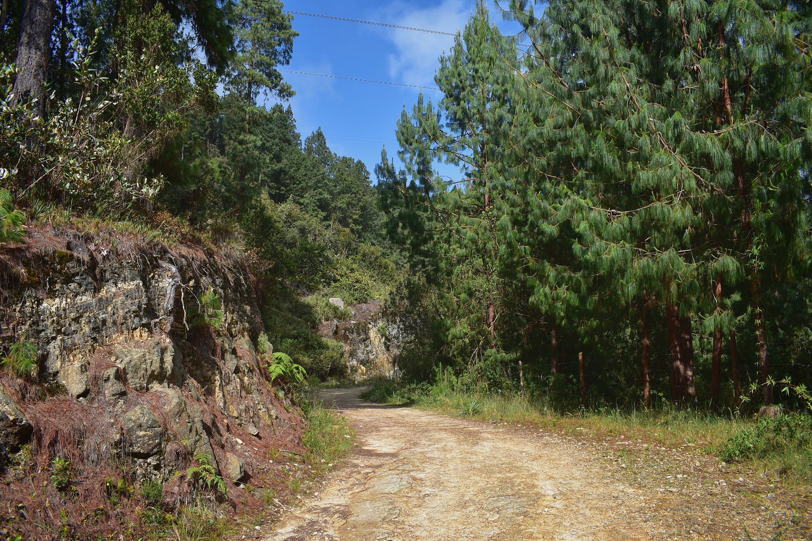
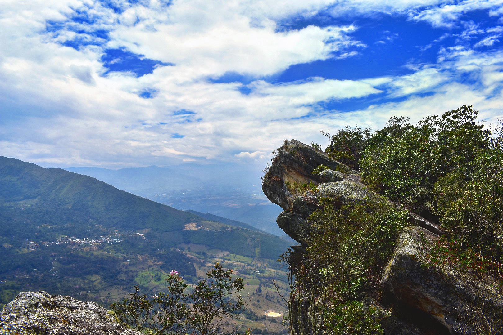
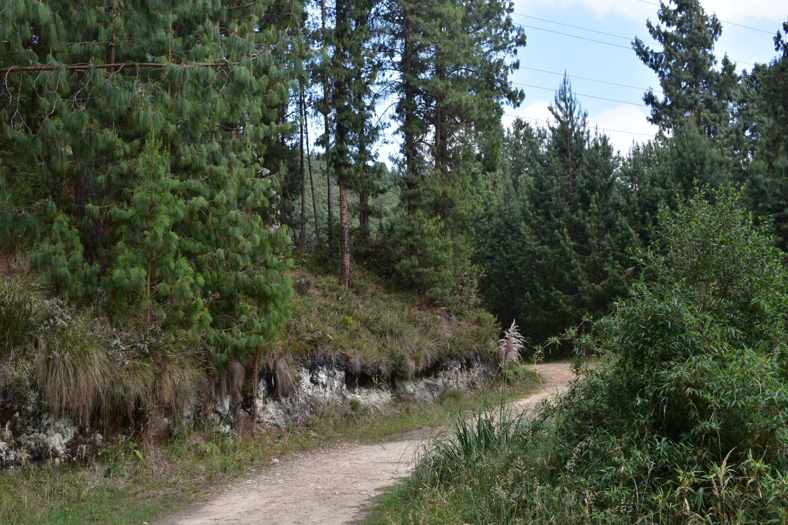
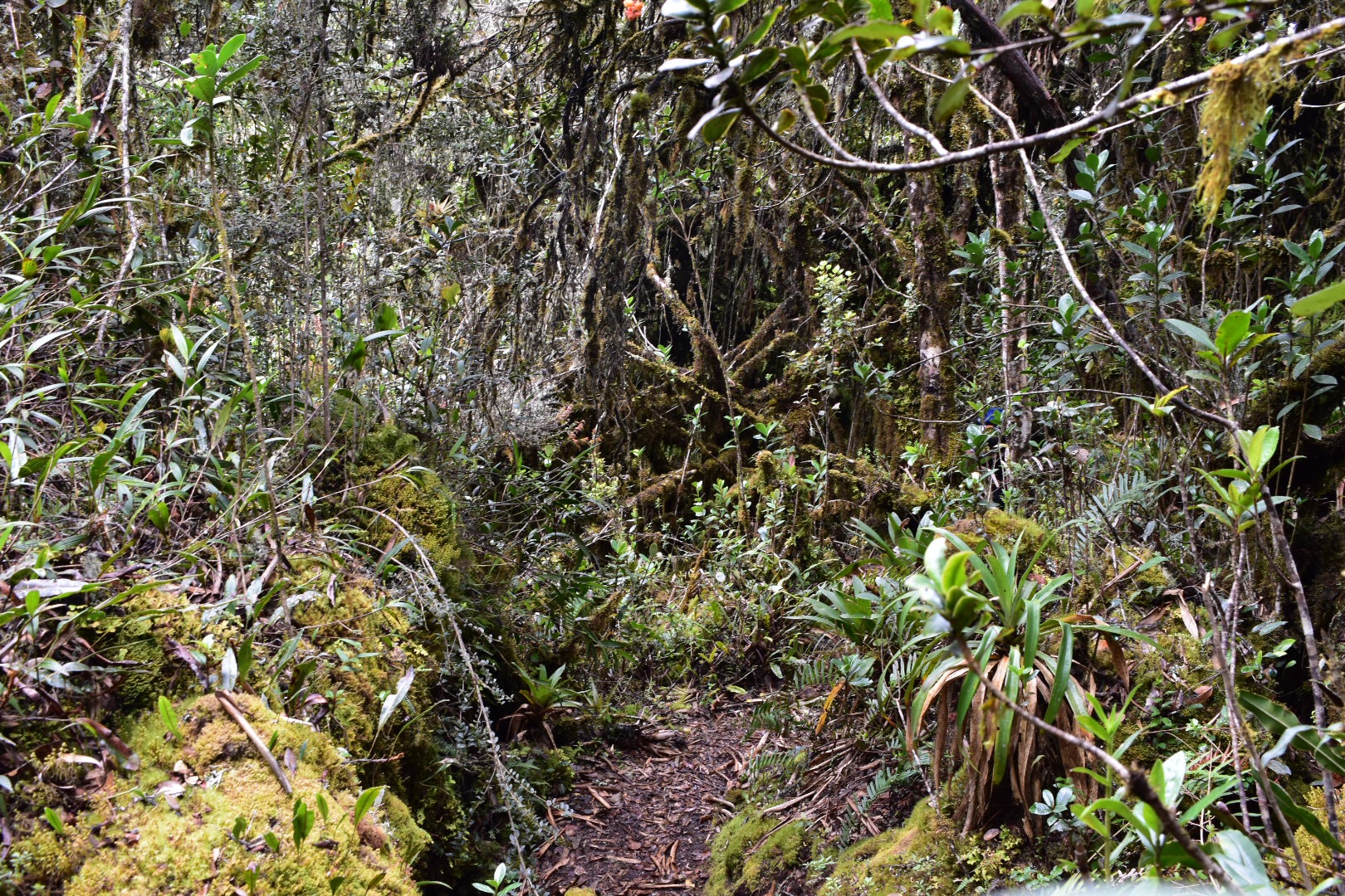
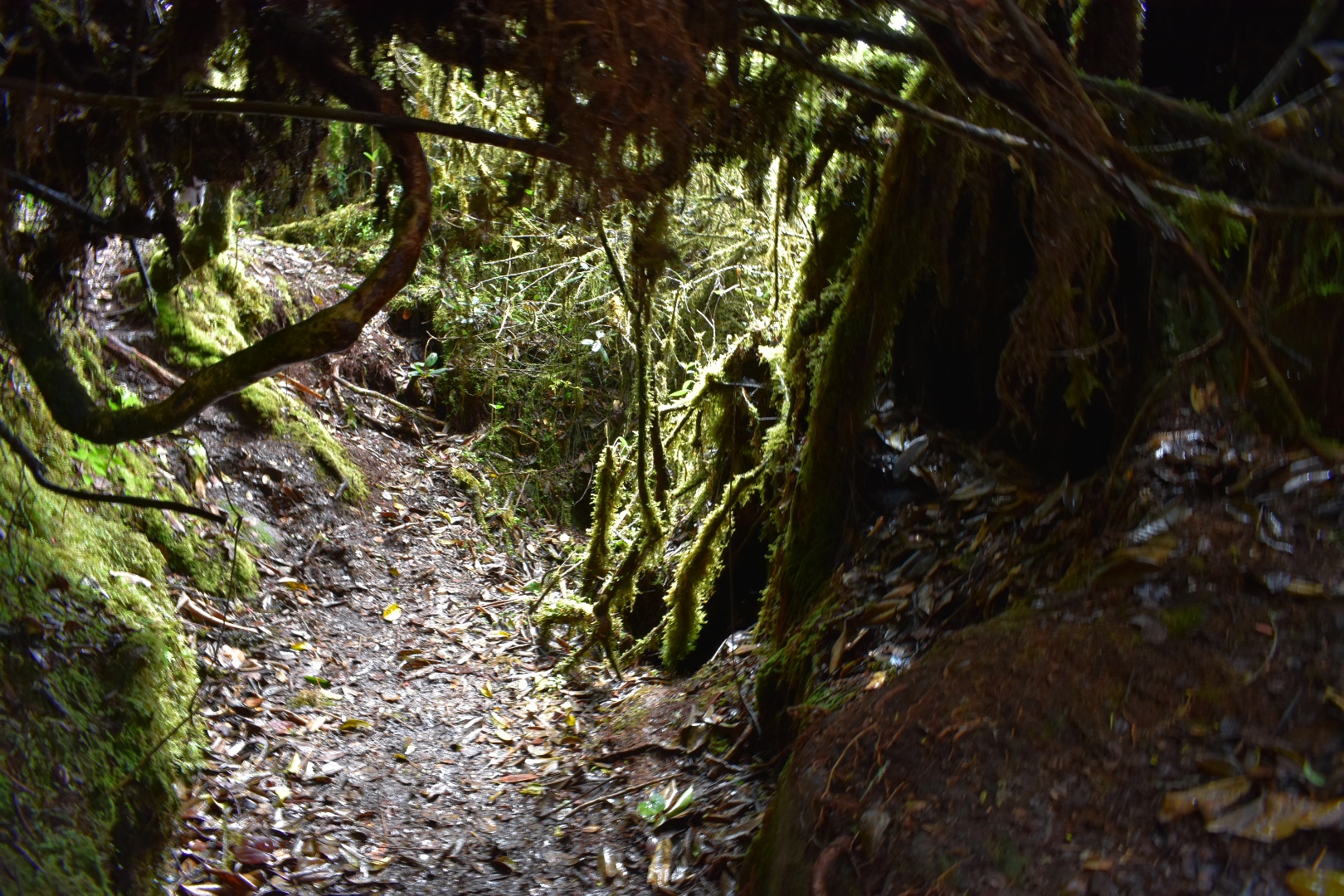
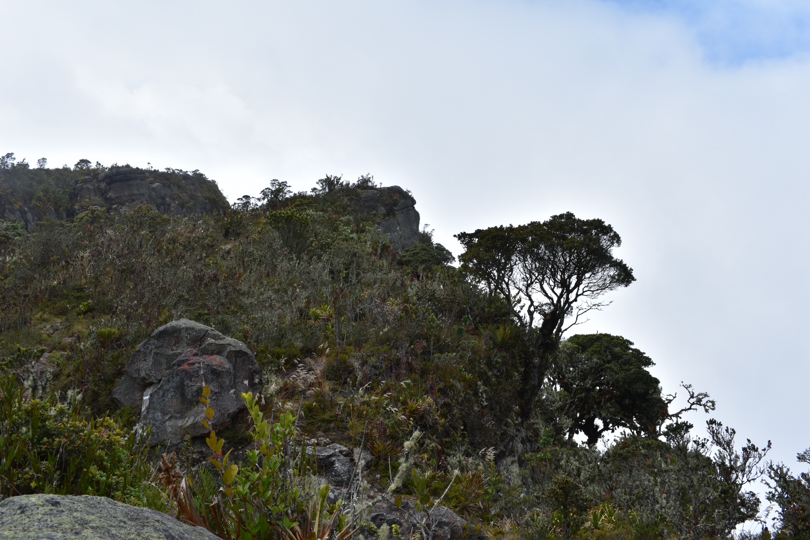
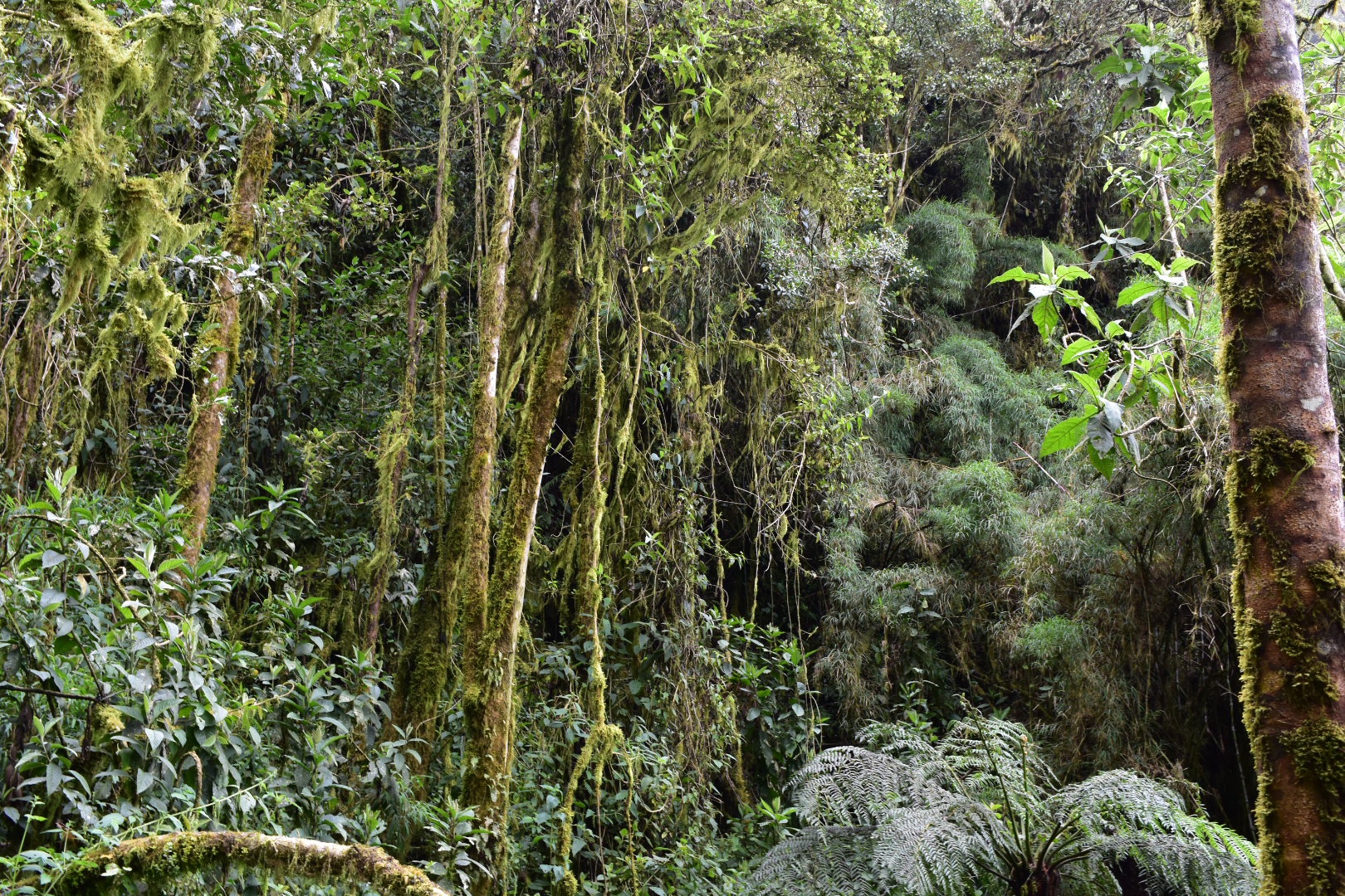
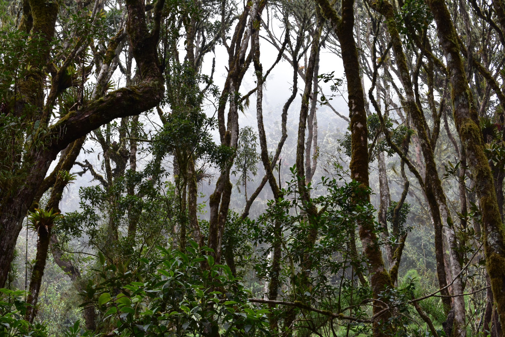
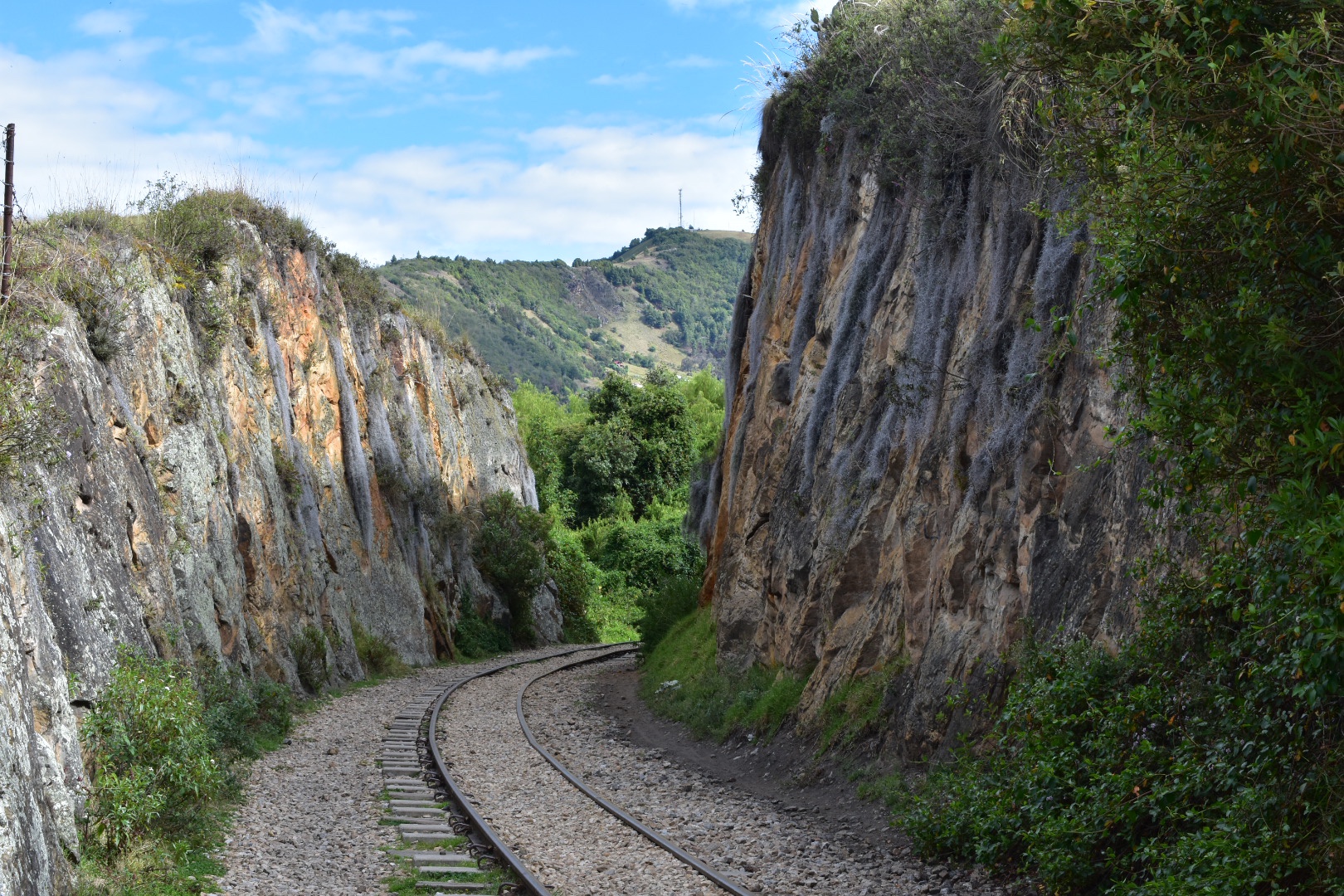
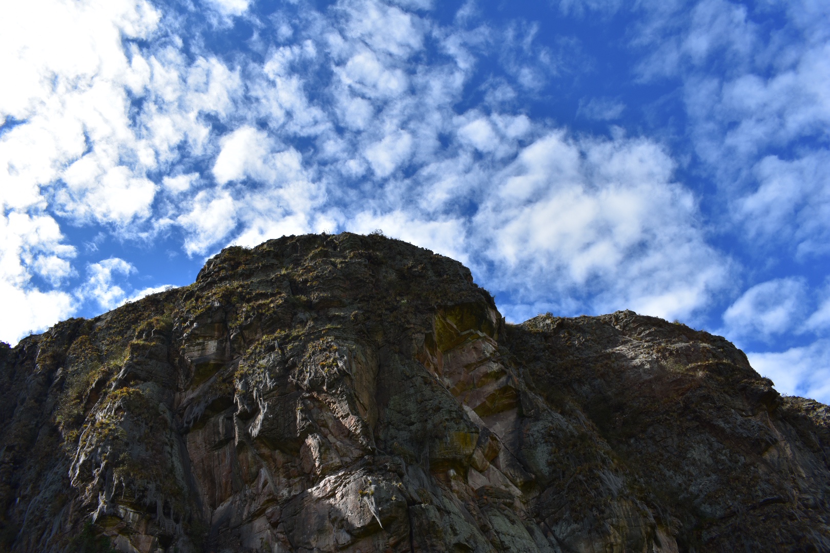
 I really enjoyed the rugged terrain and the foliage growing out of the rocks. The photos don’t really do it justice but some of it seemed like giant spiderwebs.
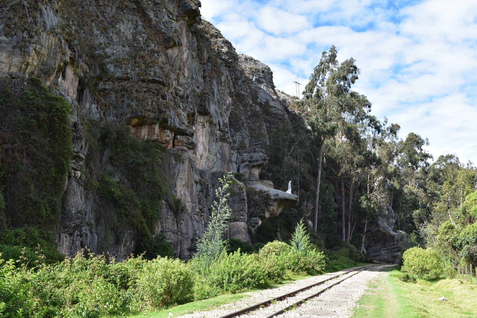
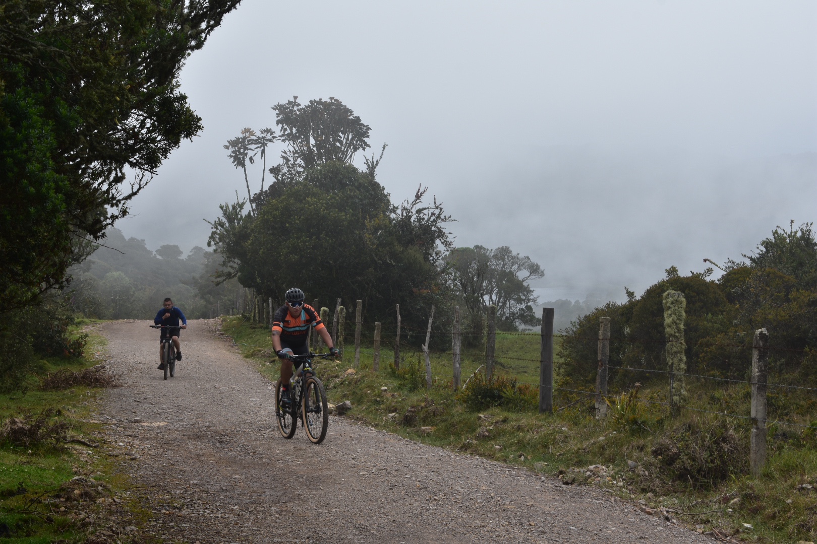
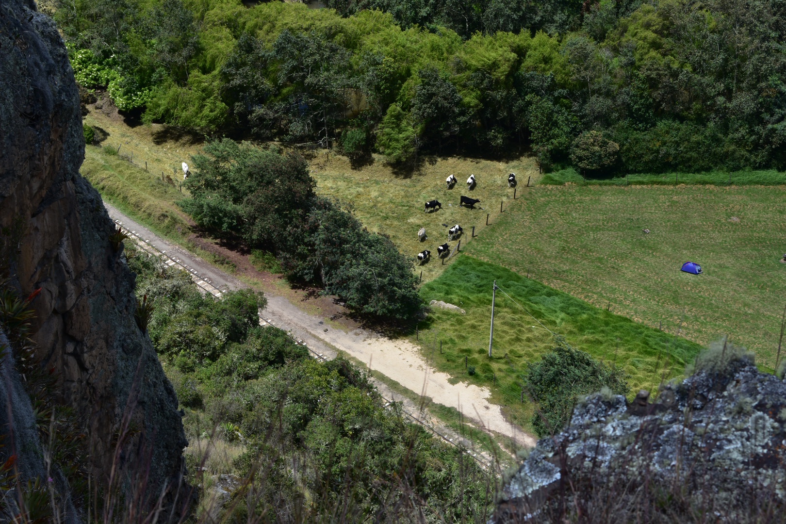
 I soon came across a camp site where plenty of families had decided to spend the night. I also got the impression that any of the climbers were using it as a base because there were a lot of people in climbing gear walking to and from the camp. Although as I went further up the tracks I didn’t see so many people.
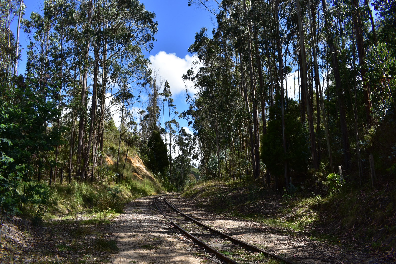
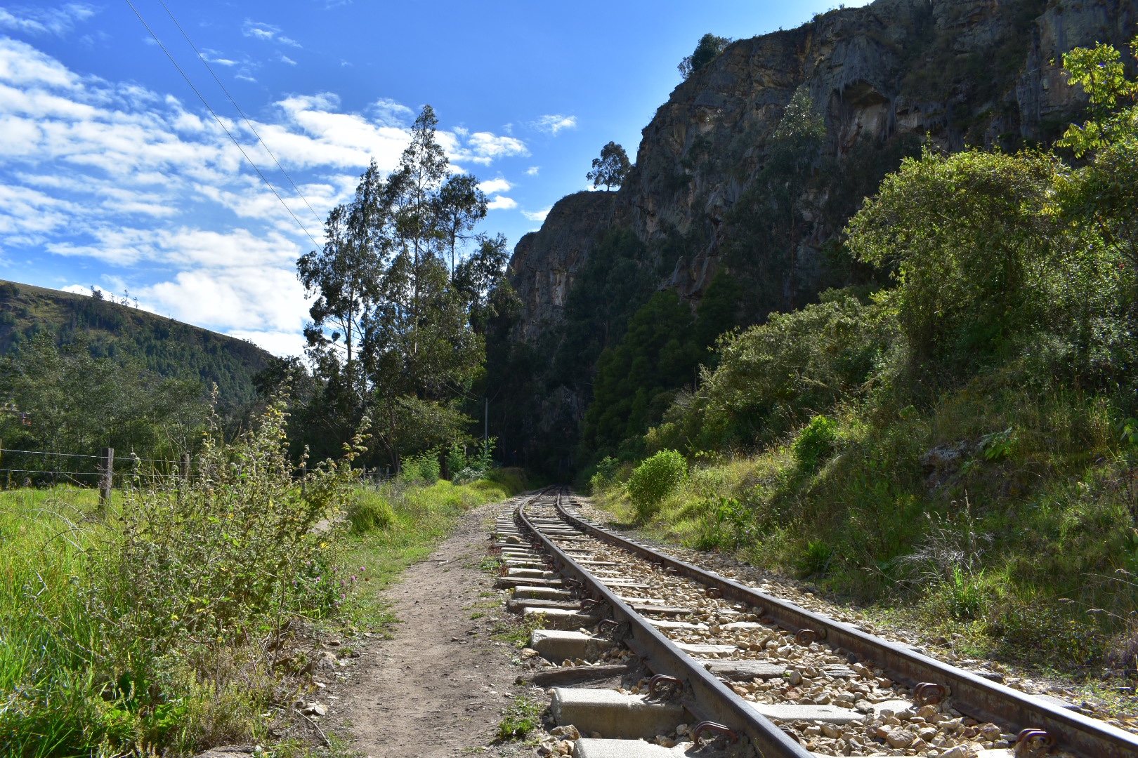 The mountains close in as you travel further along the train line forming a canyon with the river right at the bottom it provided some beautiful views and sounds.


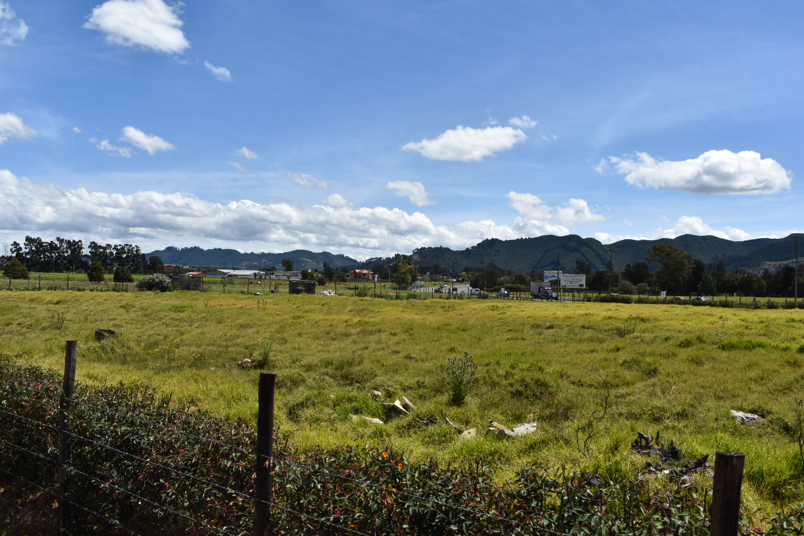
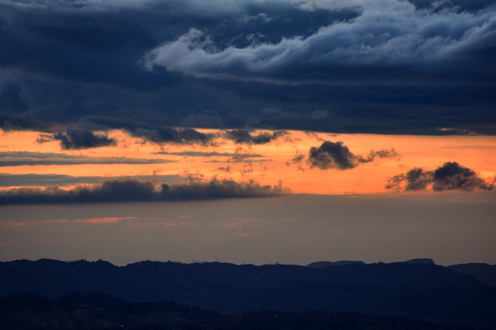
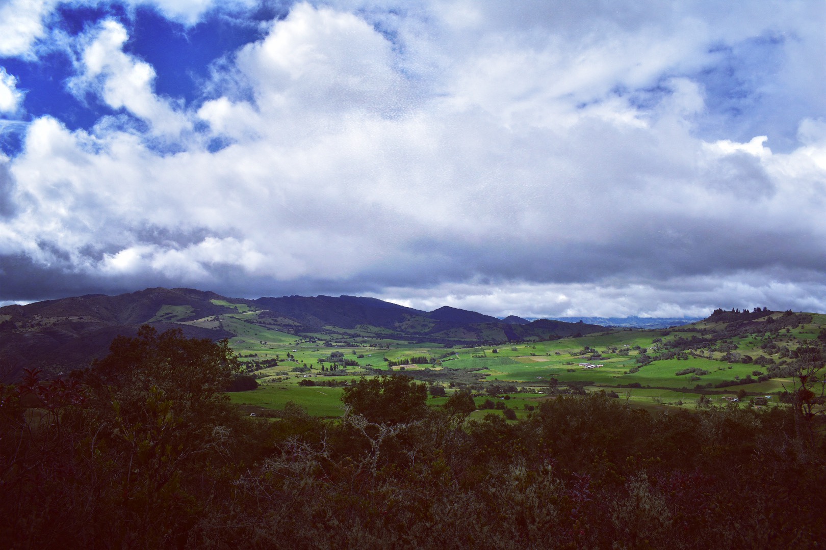
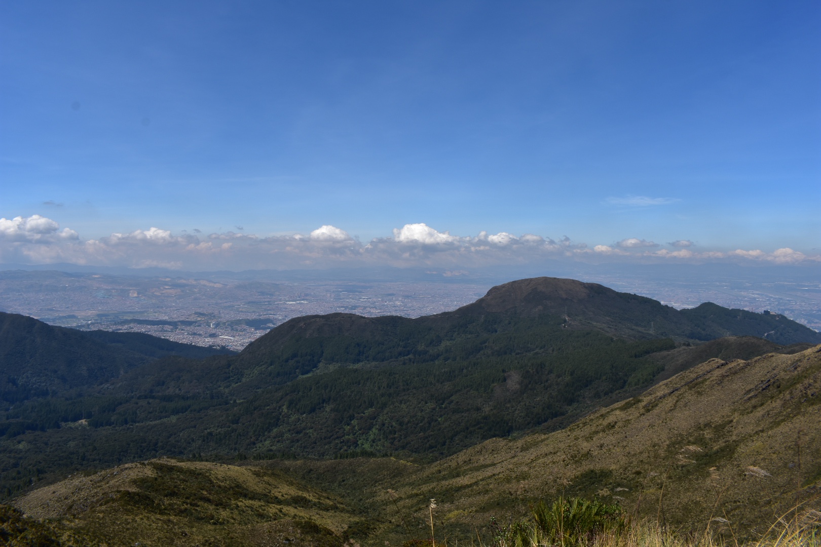
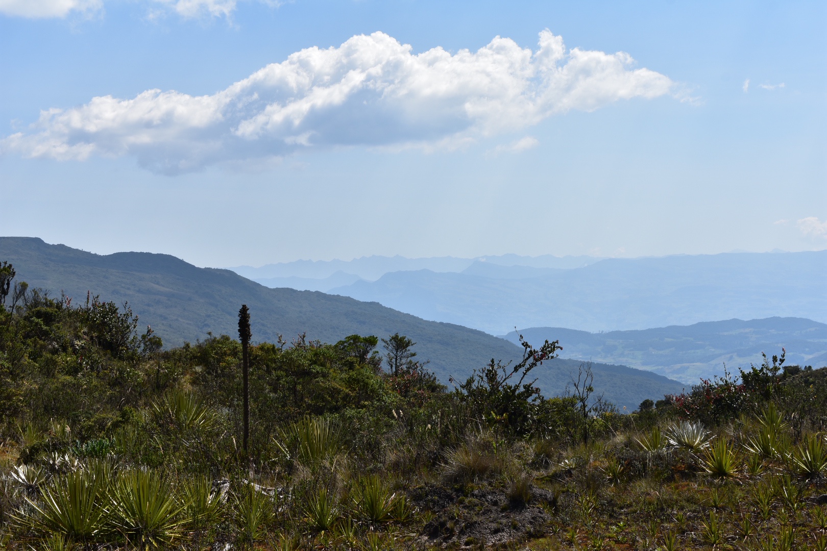
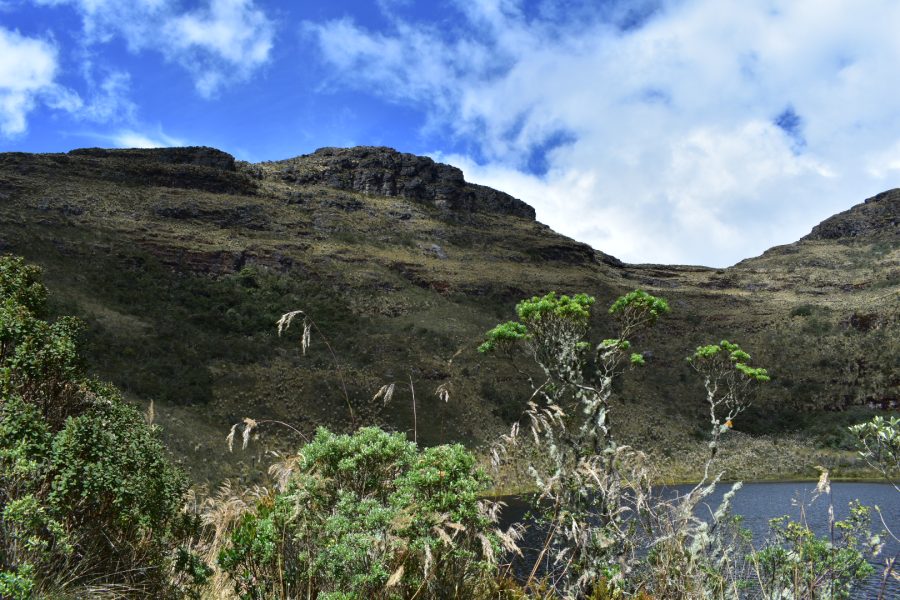
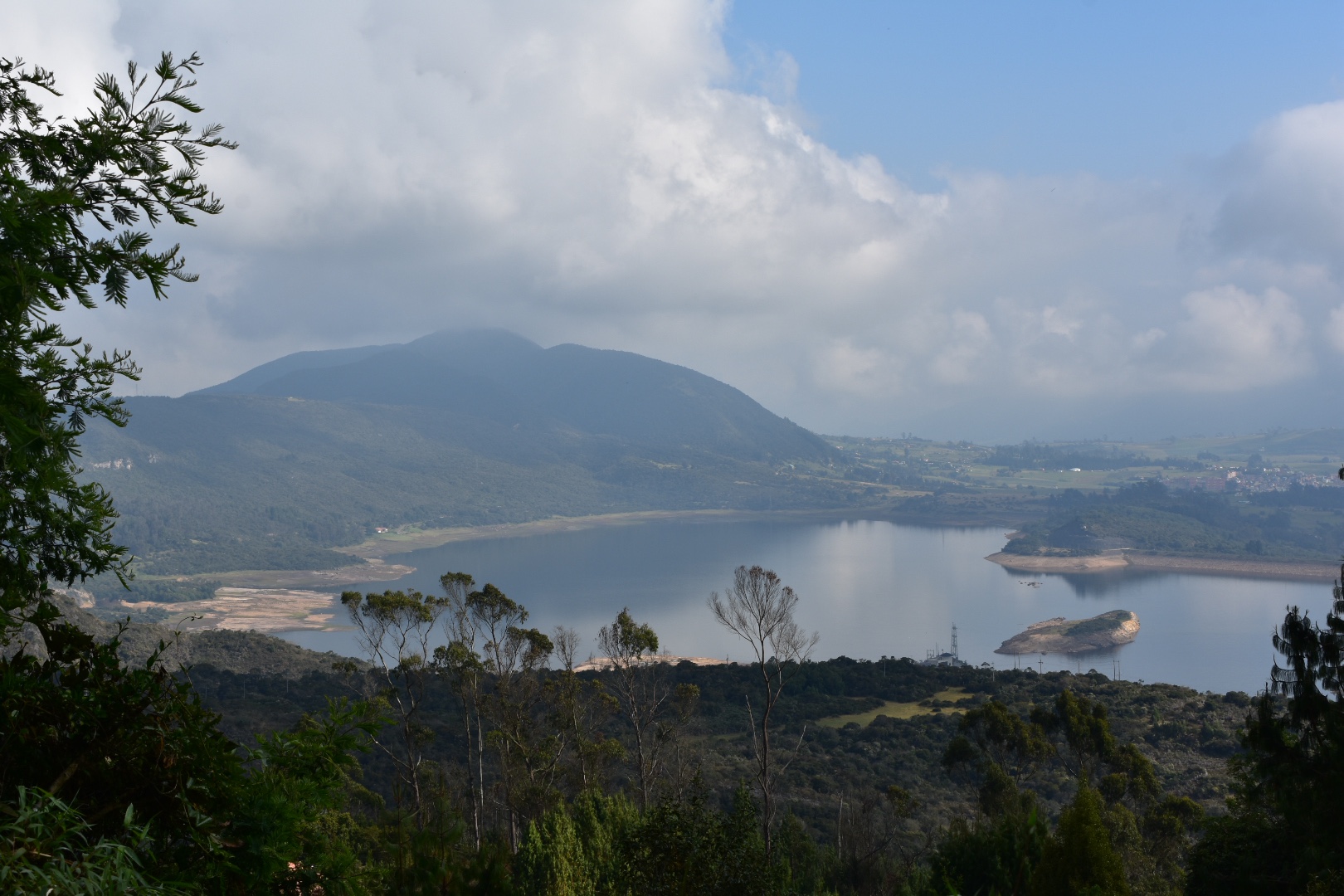
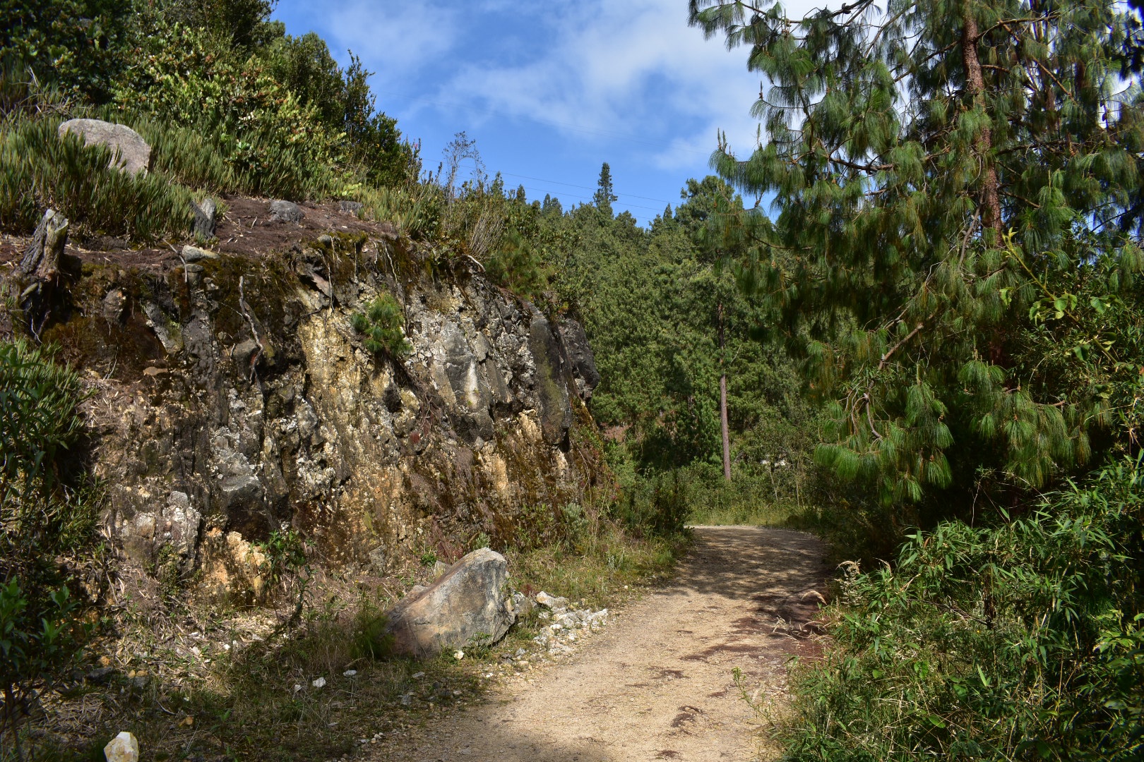
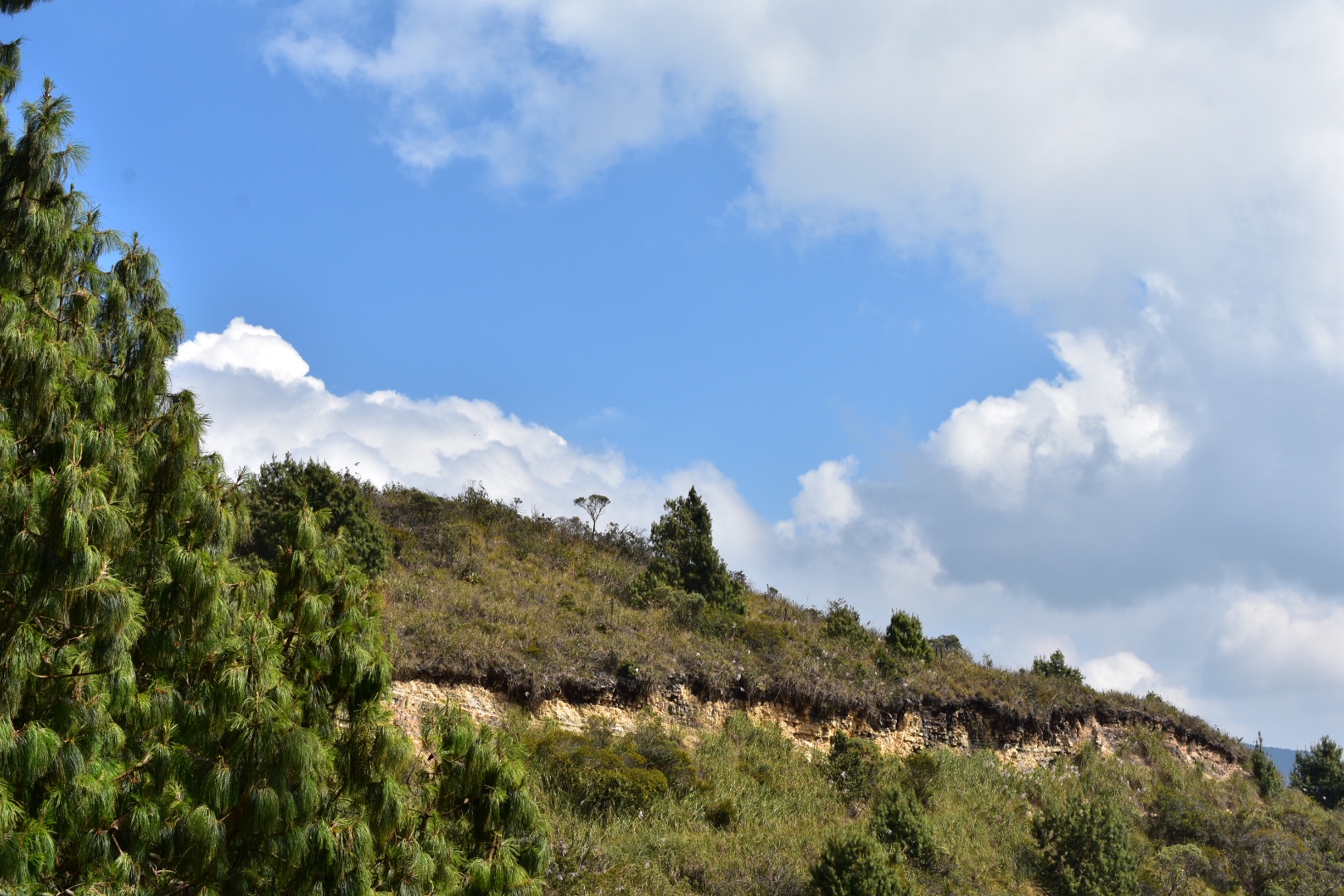
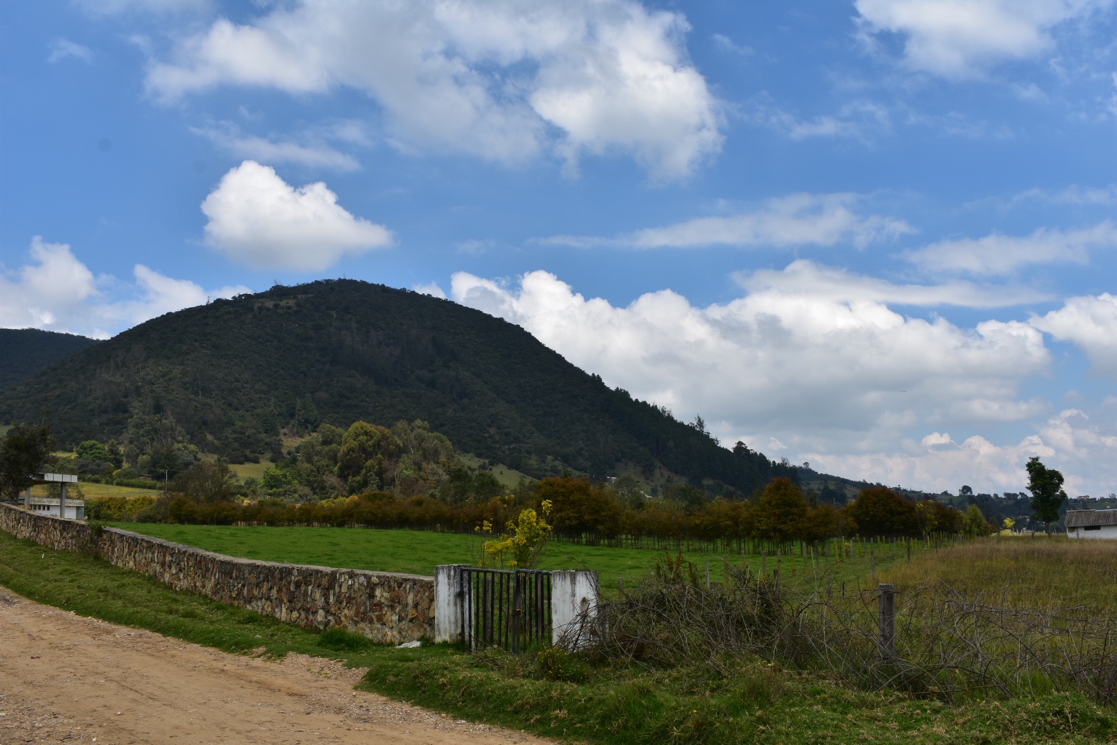
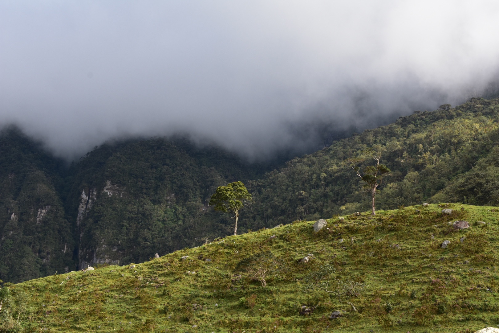
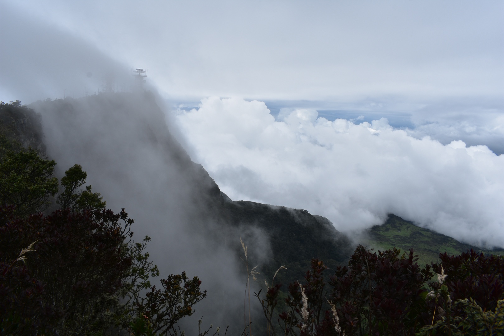
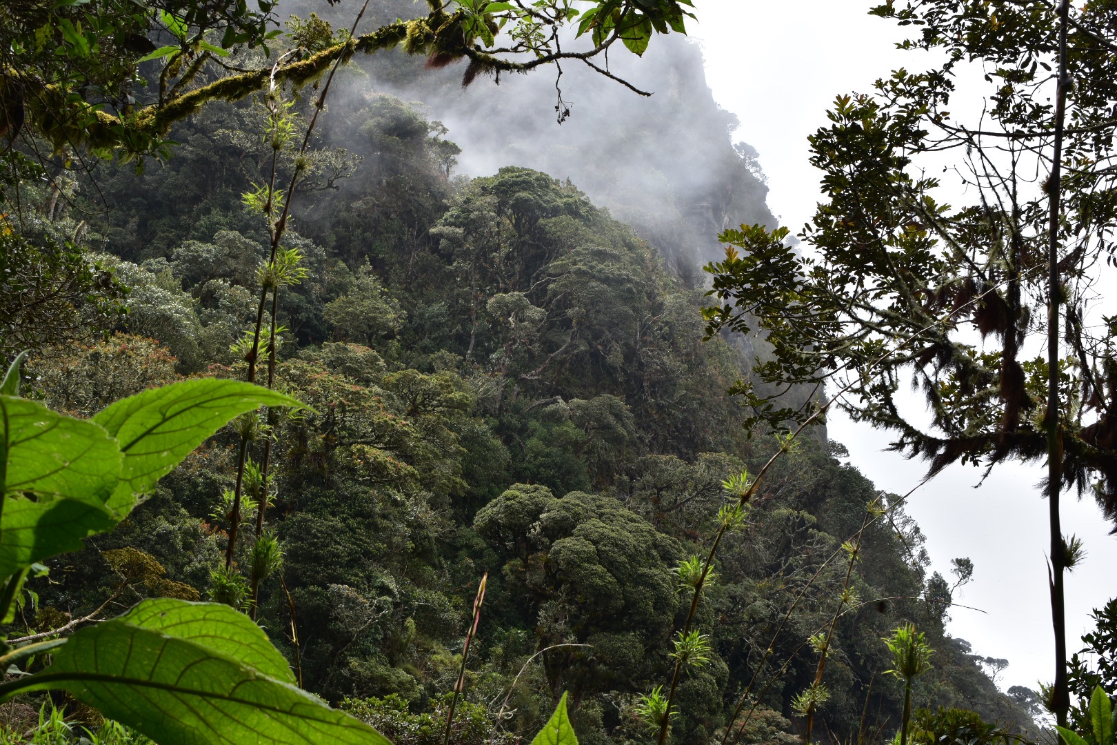
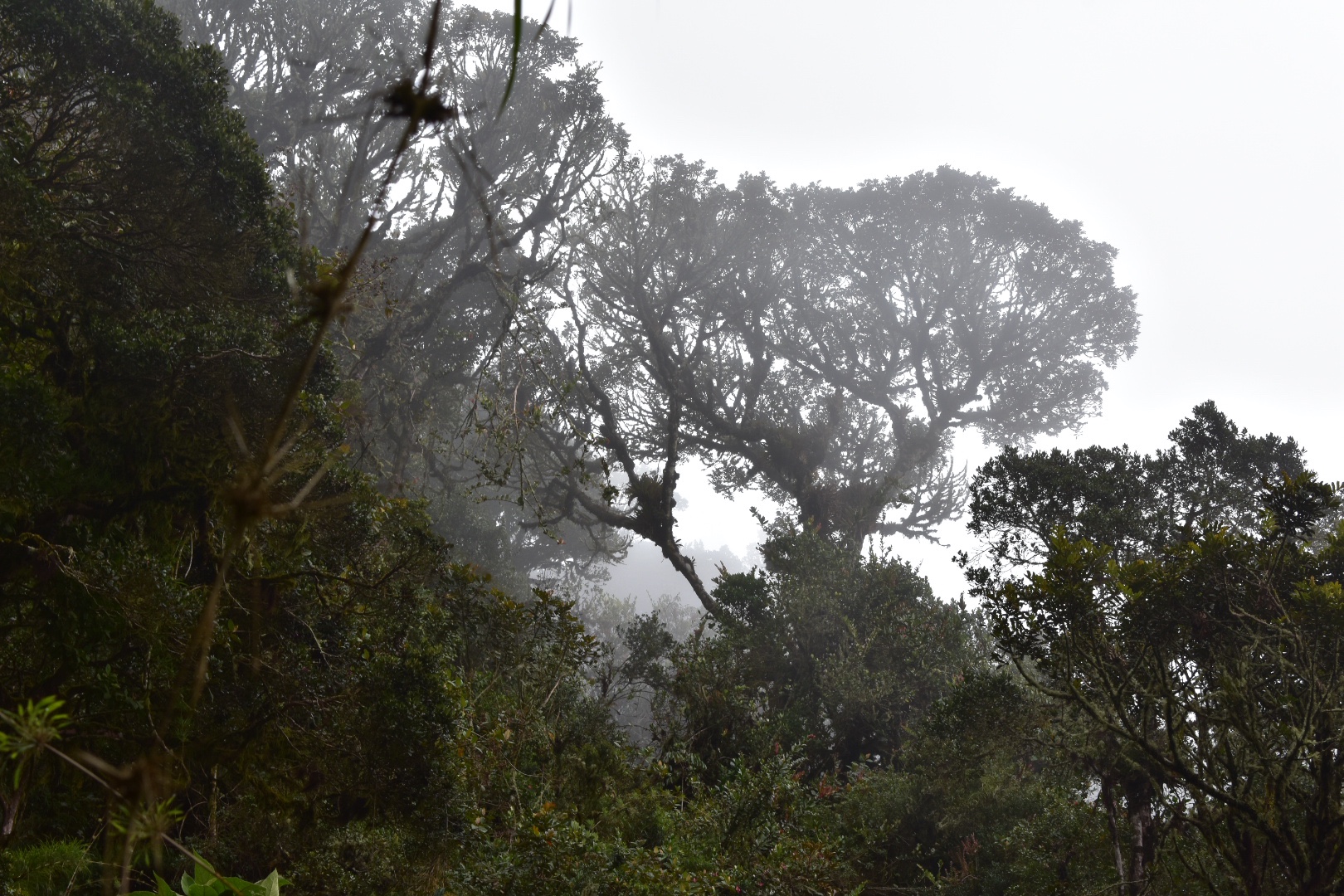
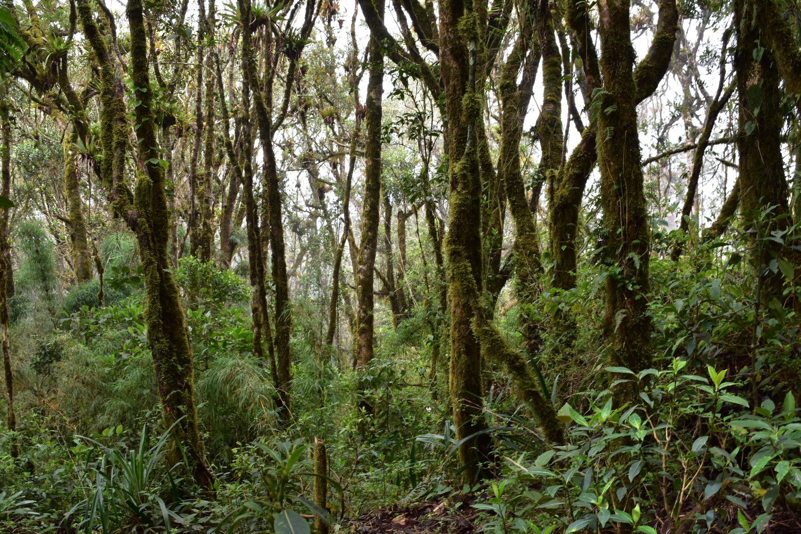
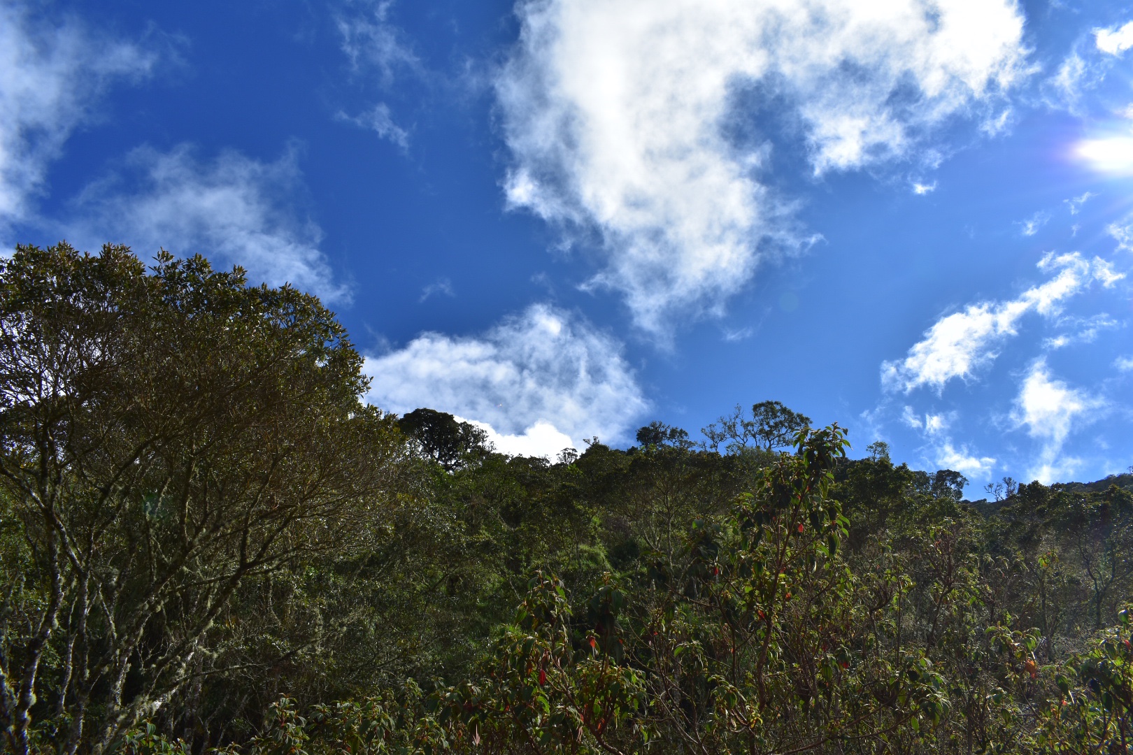
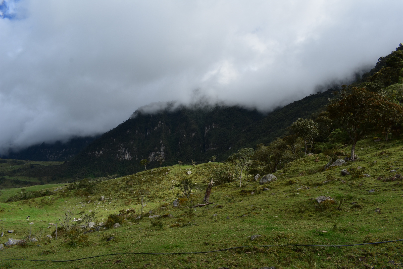
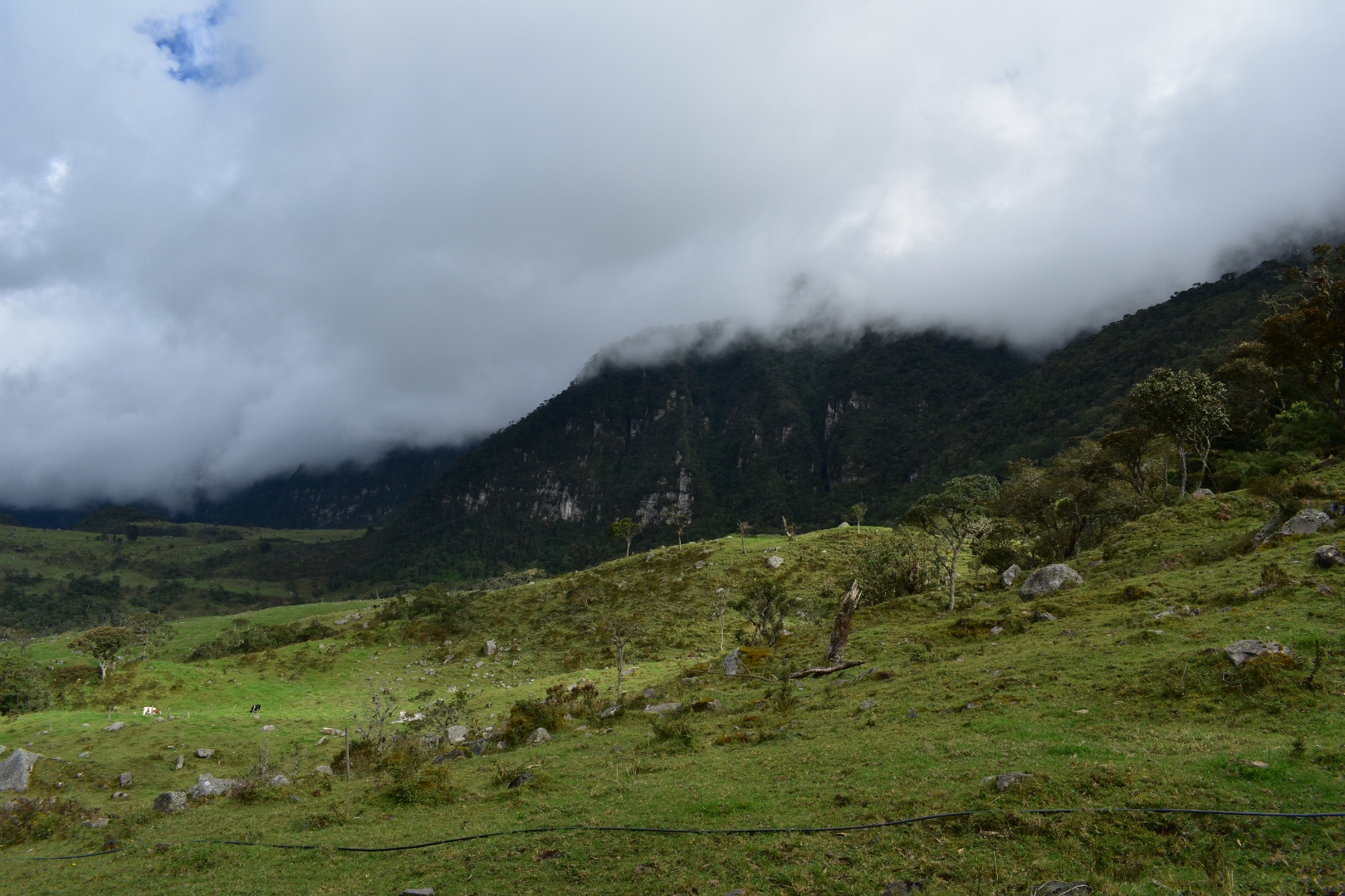
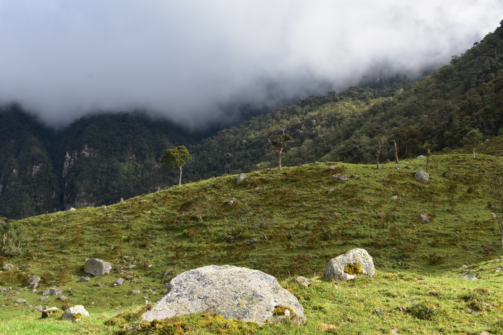
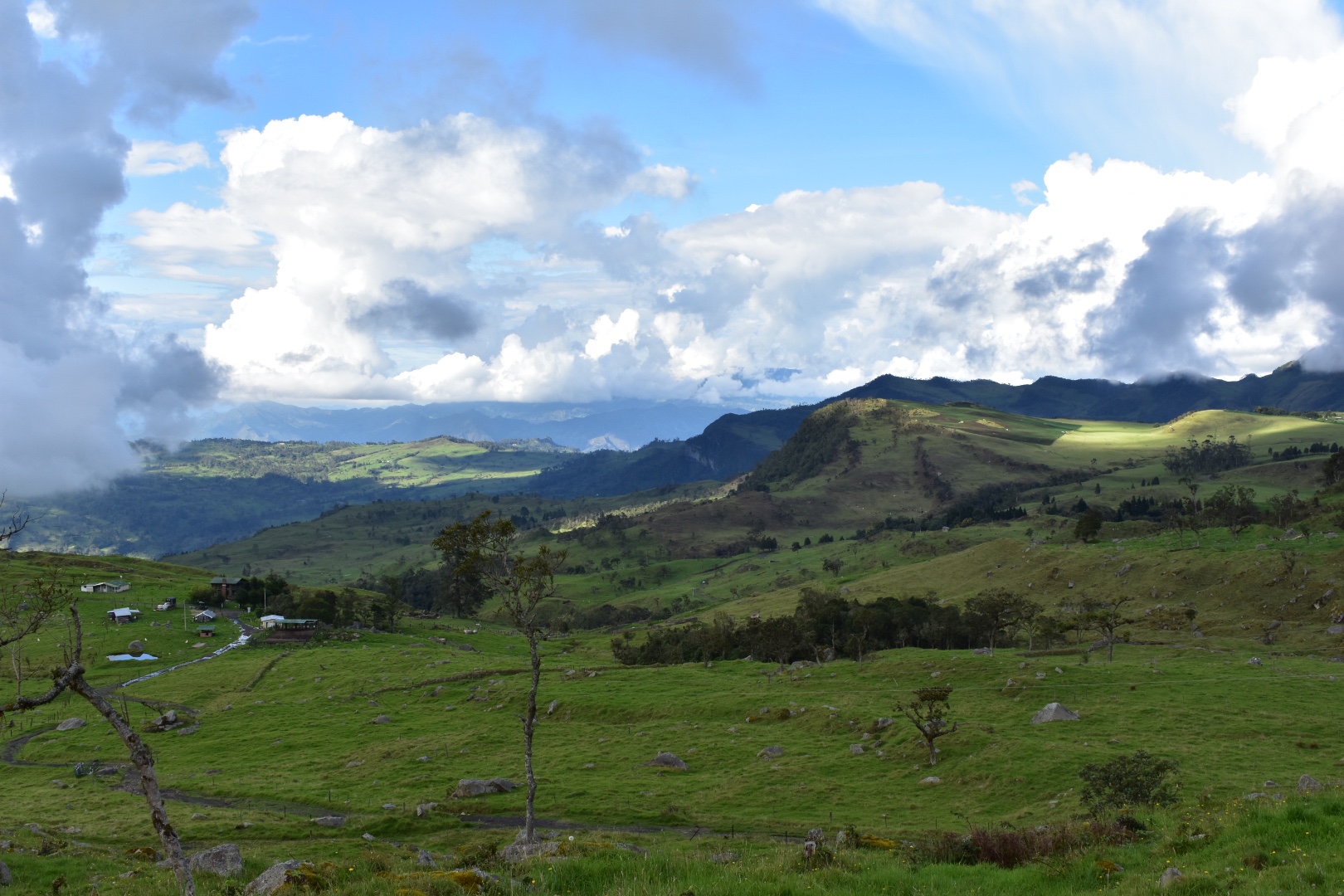
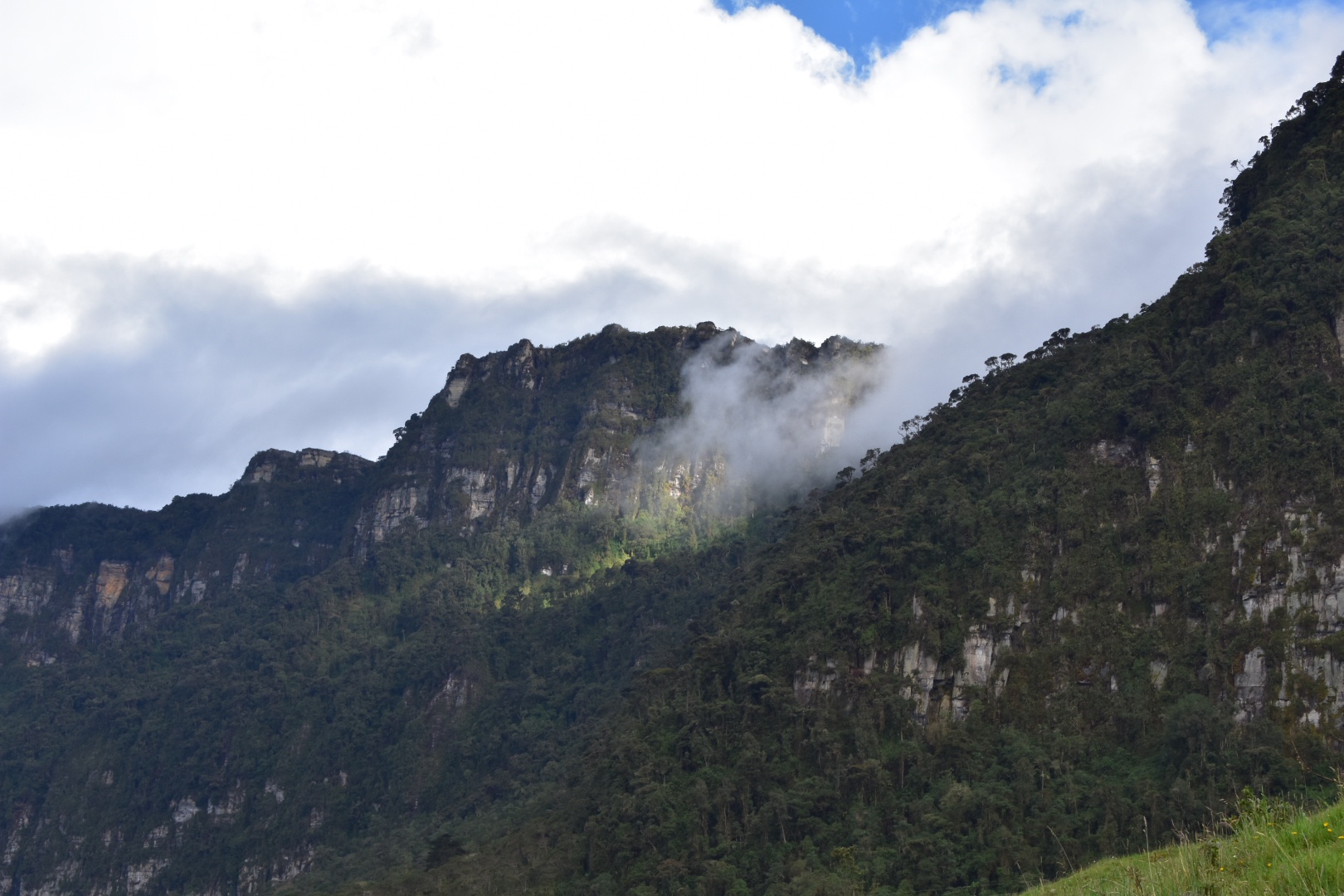
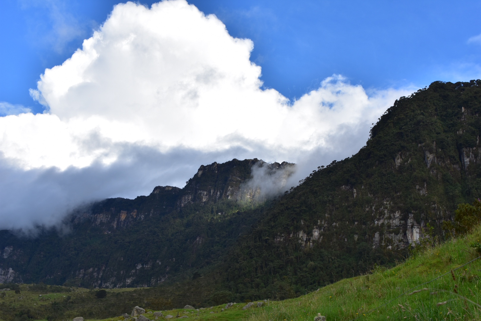
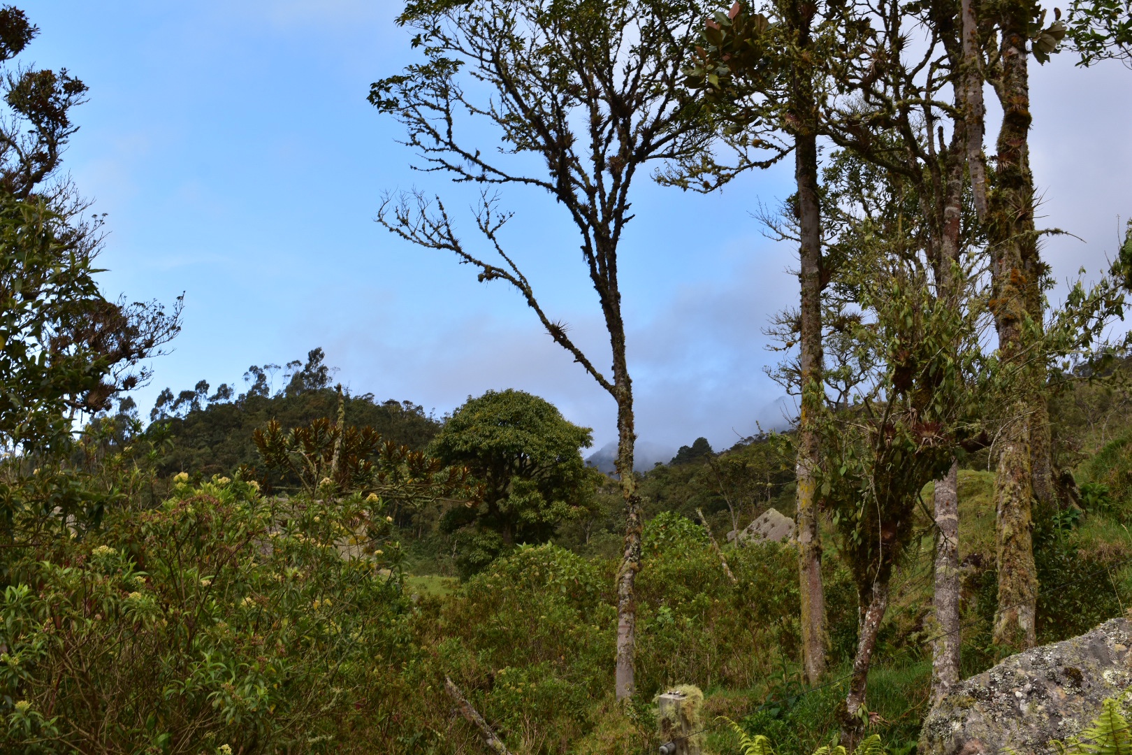
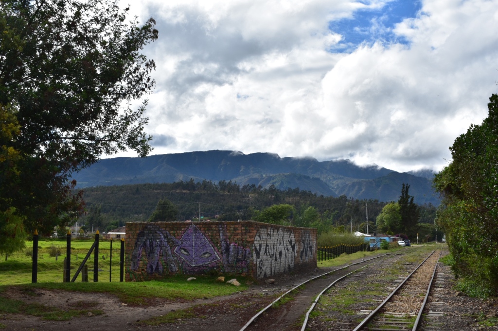
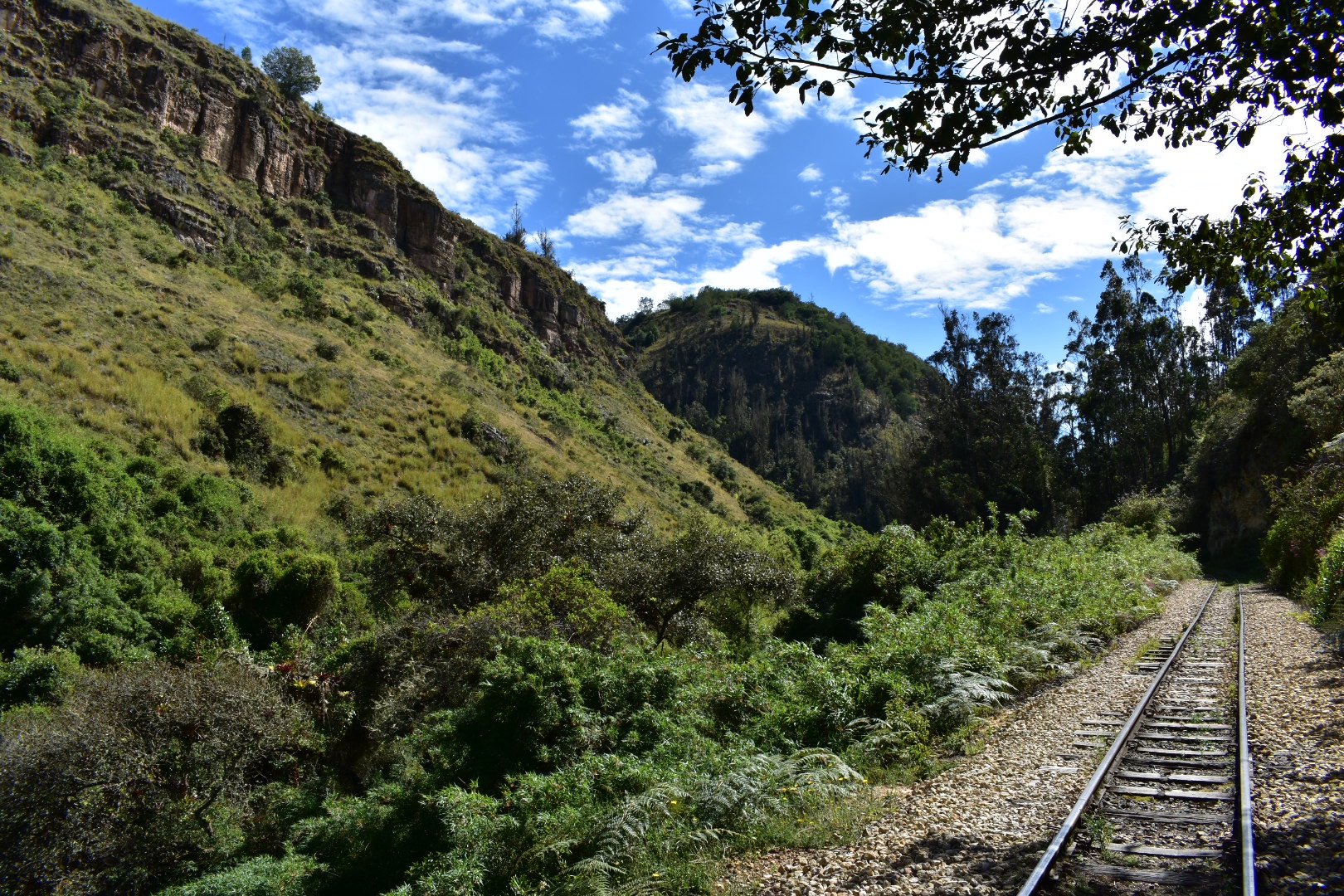 The surrounding trees and rocks were beautiful. Everything was so lush and green, I assume it was because I was here on a rare sunny day in the middle of rainy season, but the trees gave me the impression that it was autumn so the colours were particularly spectacular. Being close to the equator Colombia doesn’t really have seasons but the climate changes so much from place to place. The Bogota Savannah is around 2600 metres in altitude and you only have to travel 90 minutes and drop to 1500 to find the weather mush more tropical or head another way and go up to 4000 meters to find yourself in the middle of a Palermo where it is cold and wet. Its one reason I love mountainous regions.
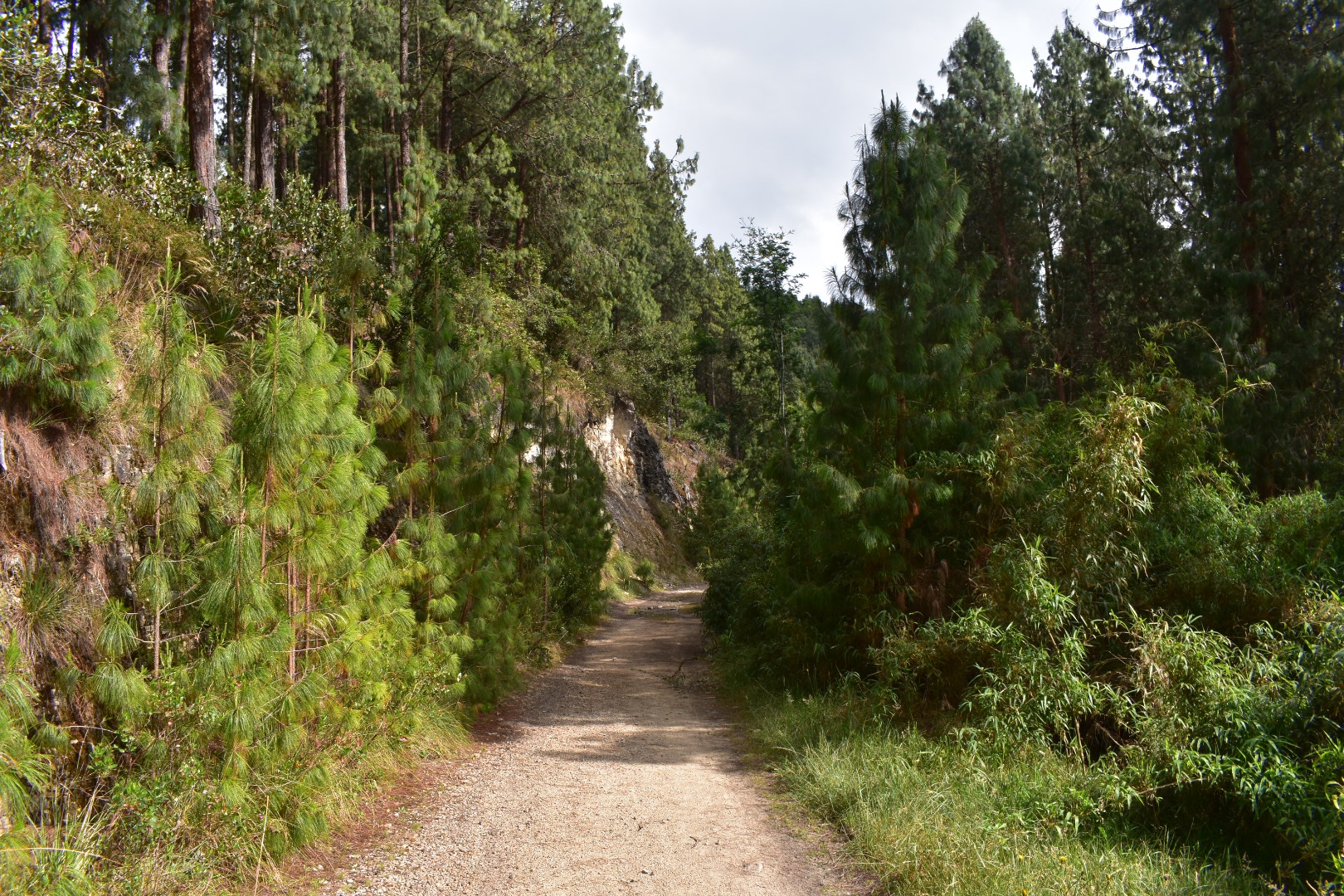
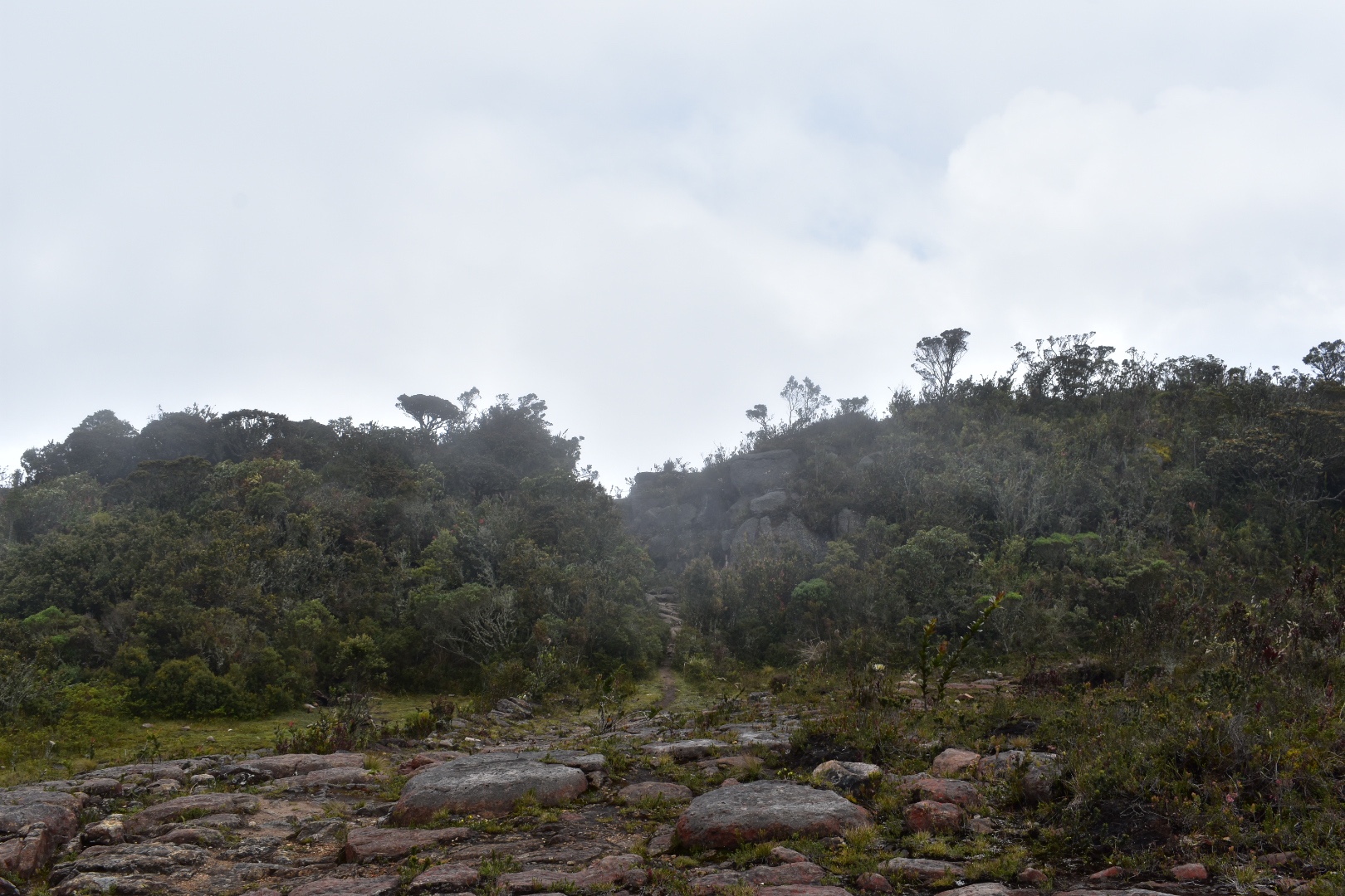
 After I came out of the rocks above the train line goes around in a huge circle, after seeing the landscape I can only assume that they were not given permission to build on someones land. Also take note of the photo above as this is the beginning of the path where you head up to hike along the top of the cliffs.
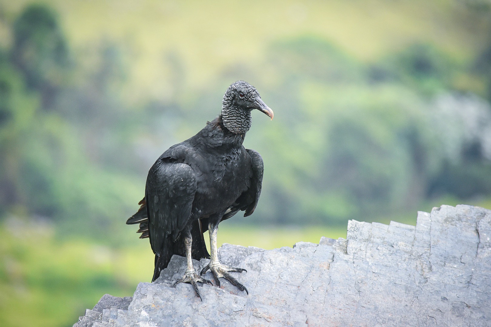
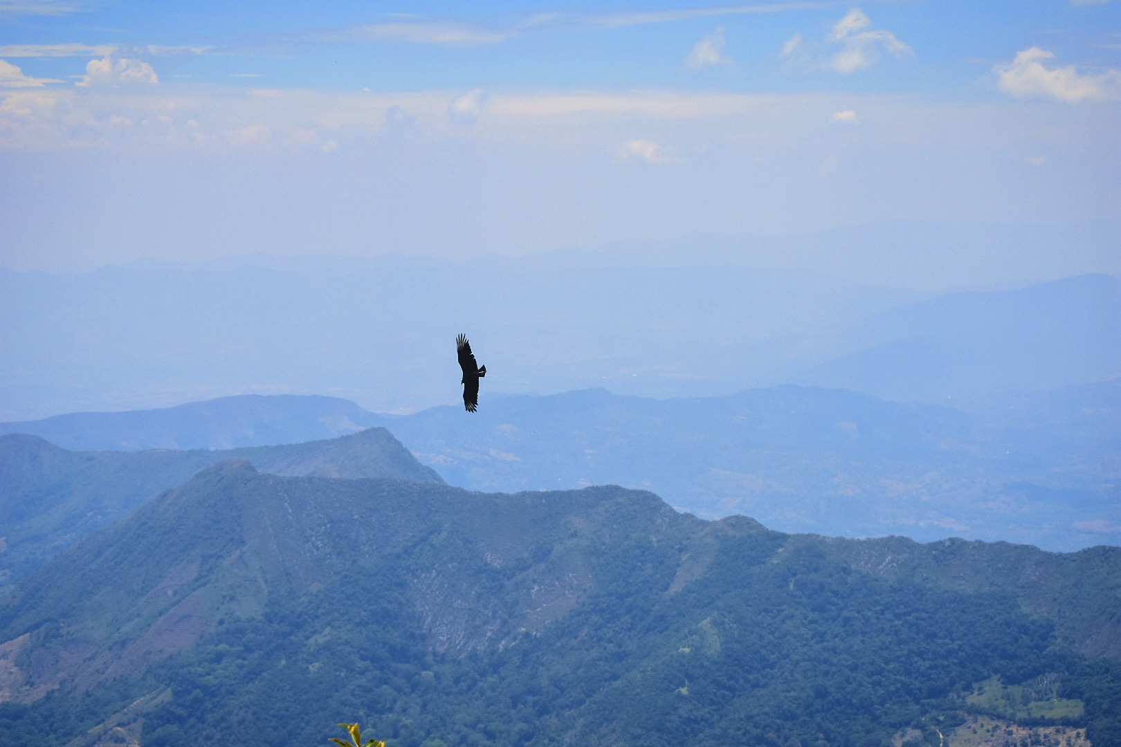
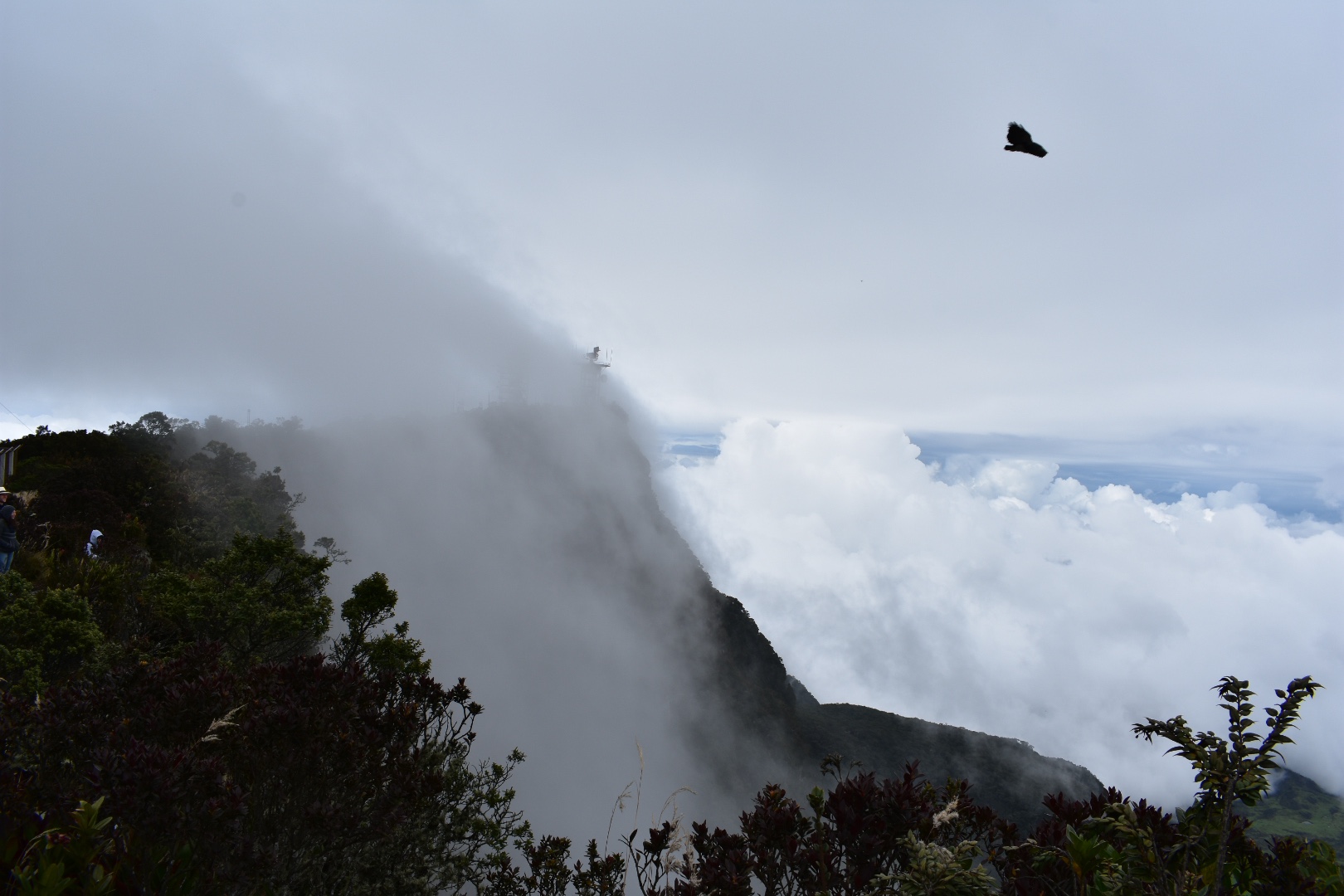
 It was around 10am when I arrived at the mirador and I saw some flowers which I took a some closeups. And very quickly got upclose and personal with a vulture, who I didn’t see until the last second as I was concentrating on sitting down to rest and eat my crisps.


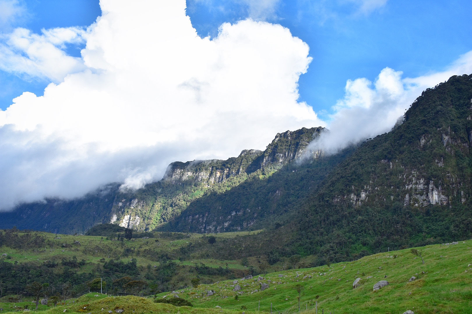
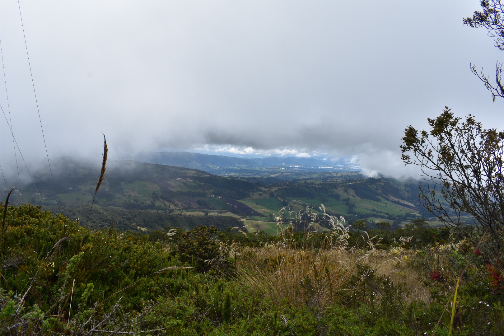
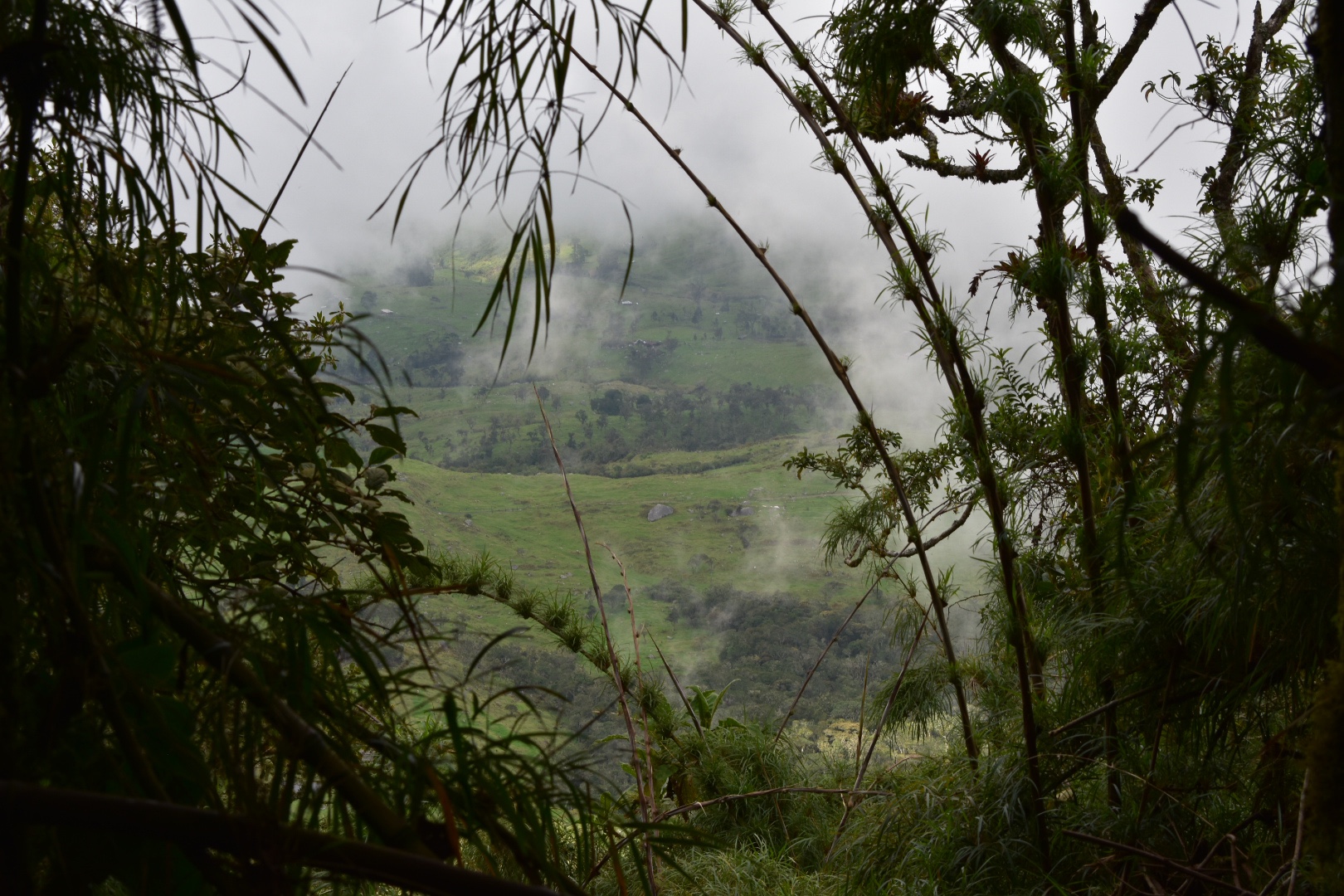
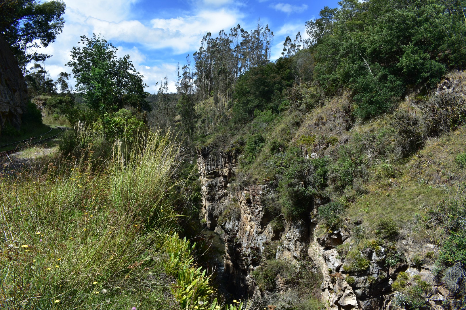
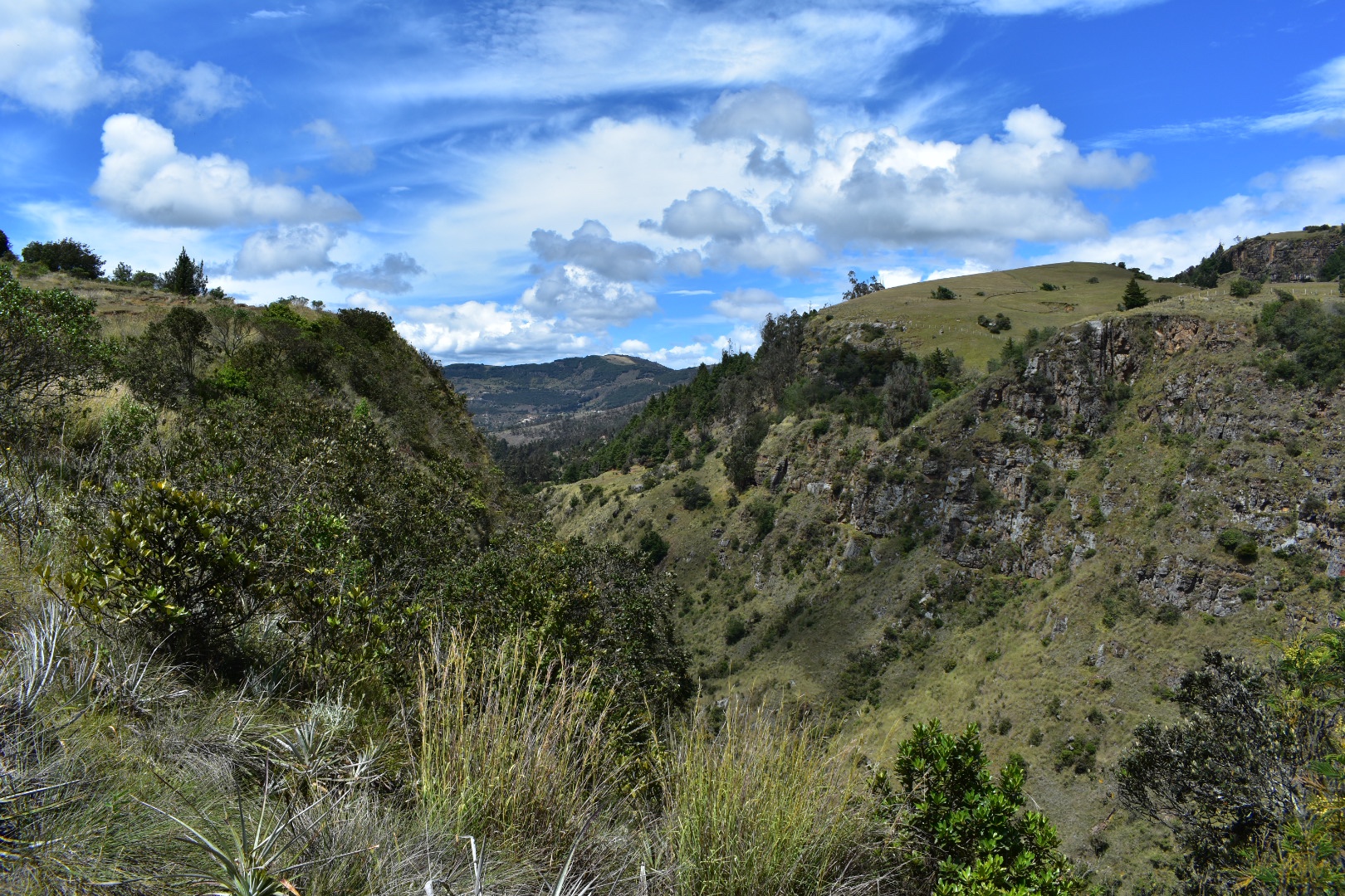
 This was my intended endpoint but as views go I was a little disappointed. I sat and rested while a couple of groups passed me and then tried to take some photos. I had read that the canyon was a place you could view owls, hence the name, but its really difficult to get a decent view without half hanging off the edge and that was something I really didn’t want to do. I have seen videos of people kayaking along so maybe if that’s of interest its something you can opt for. I really wasn’t happy with my photos, which you can see below, but I wanted to take some to illustrate. But don’t let this put you off the hike as its beautiful, I just wanted to be realistic about the “mirador”. From here you can either continue to Santa Rosita.


 I wanted to see the town and continued to the point below. I decided that i didn’t want to add an extra two kilometres to my journey but I think it would be a nice place to stop on the outward journey.
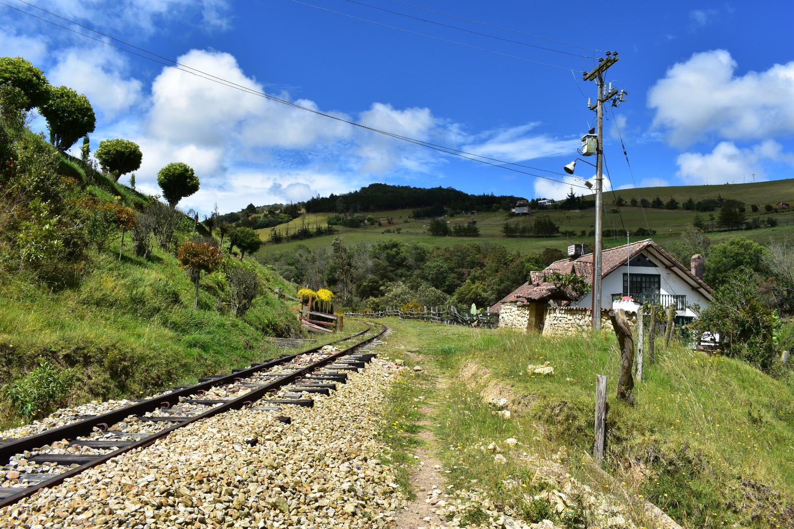
 I retraced my steps along the track a little faster this time as I wanted to find the path that would take me along the top of the cliffs.
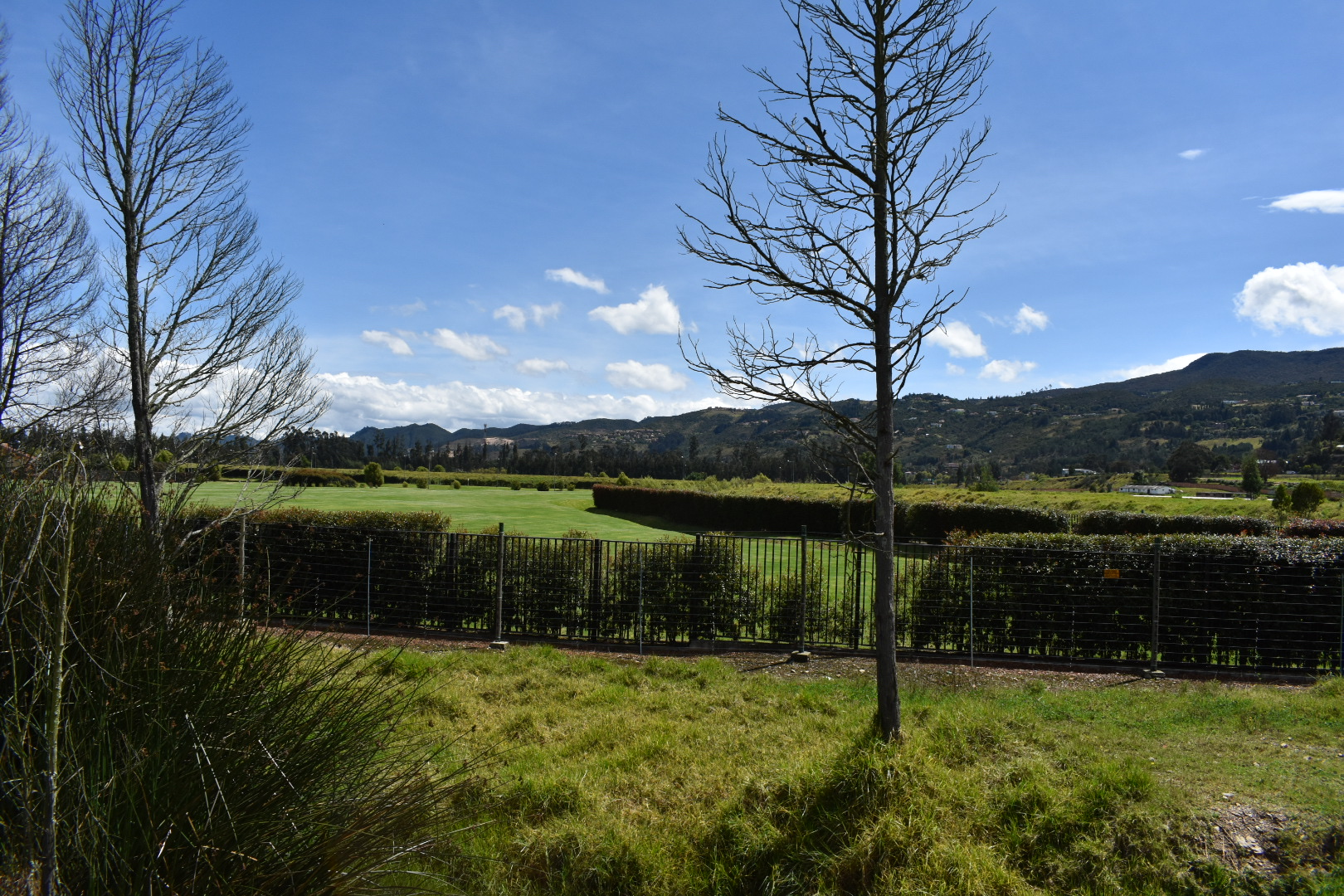
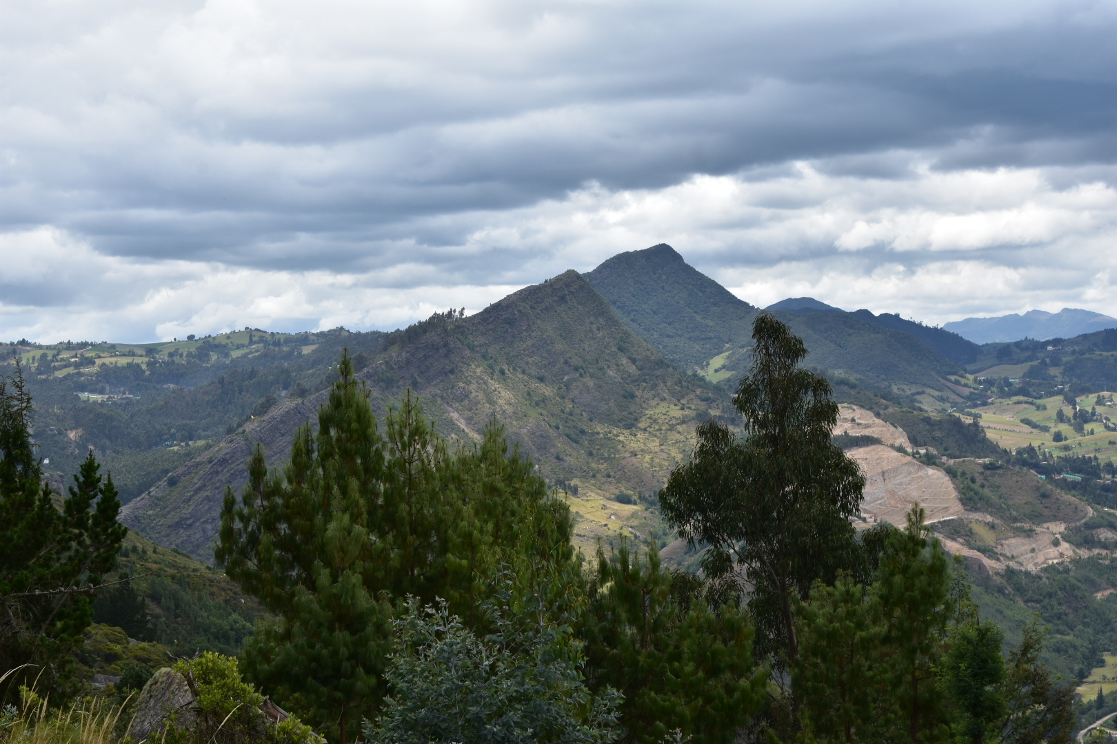
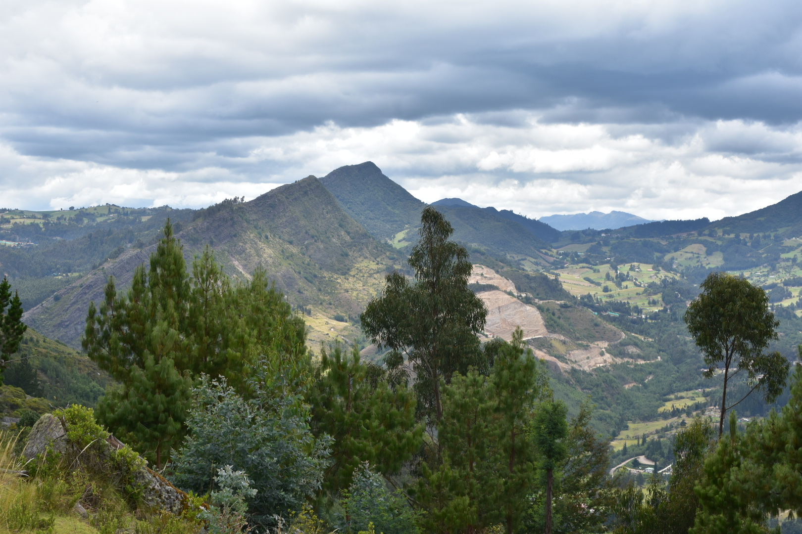
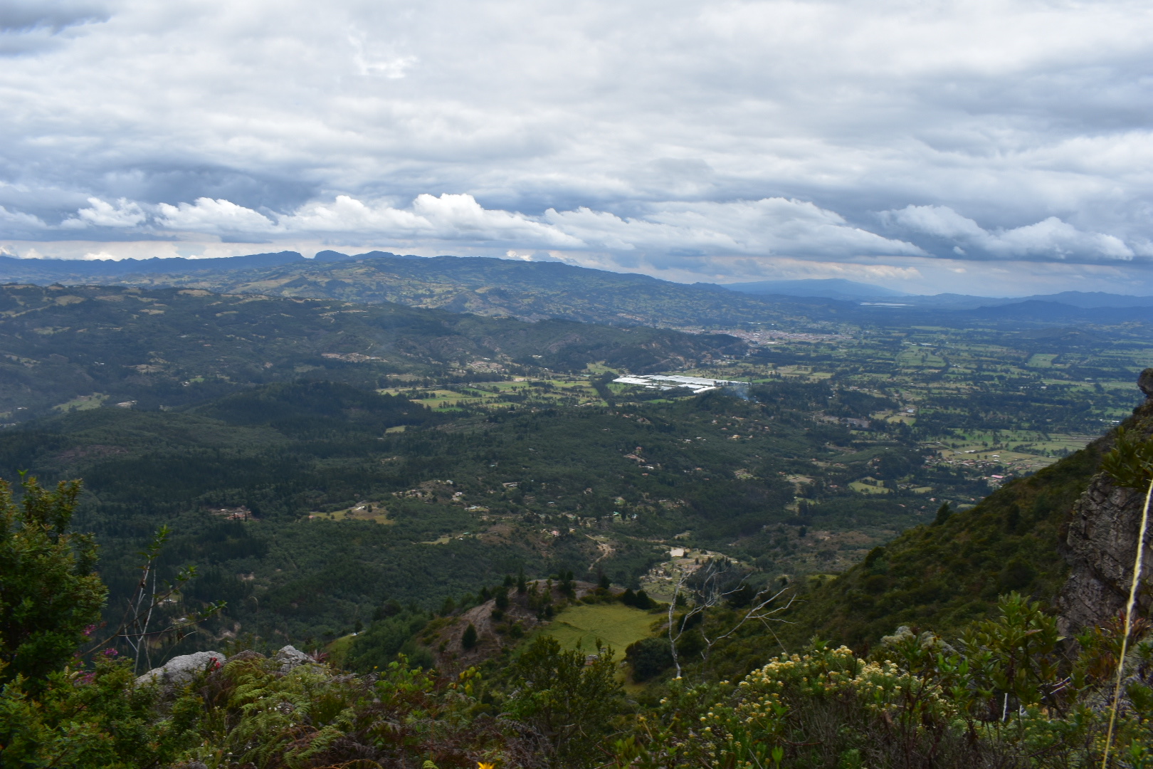
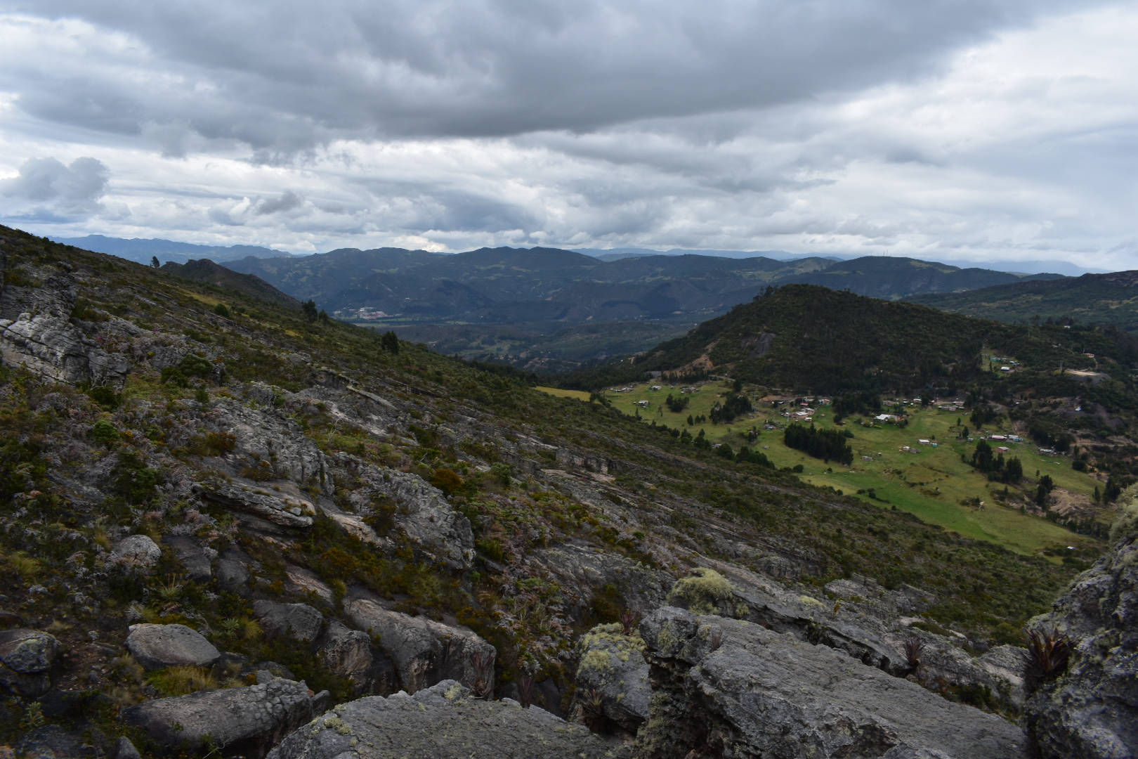
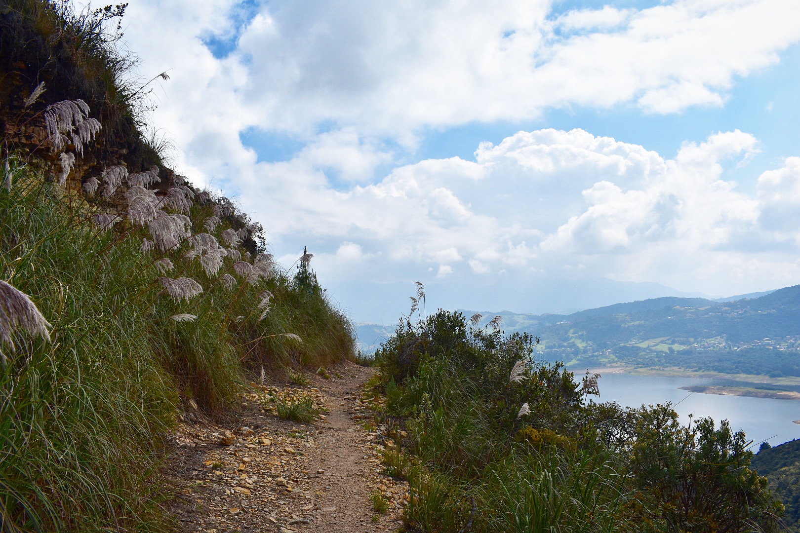
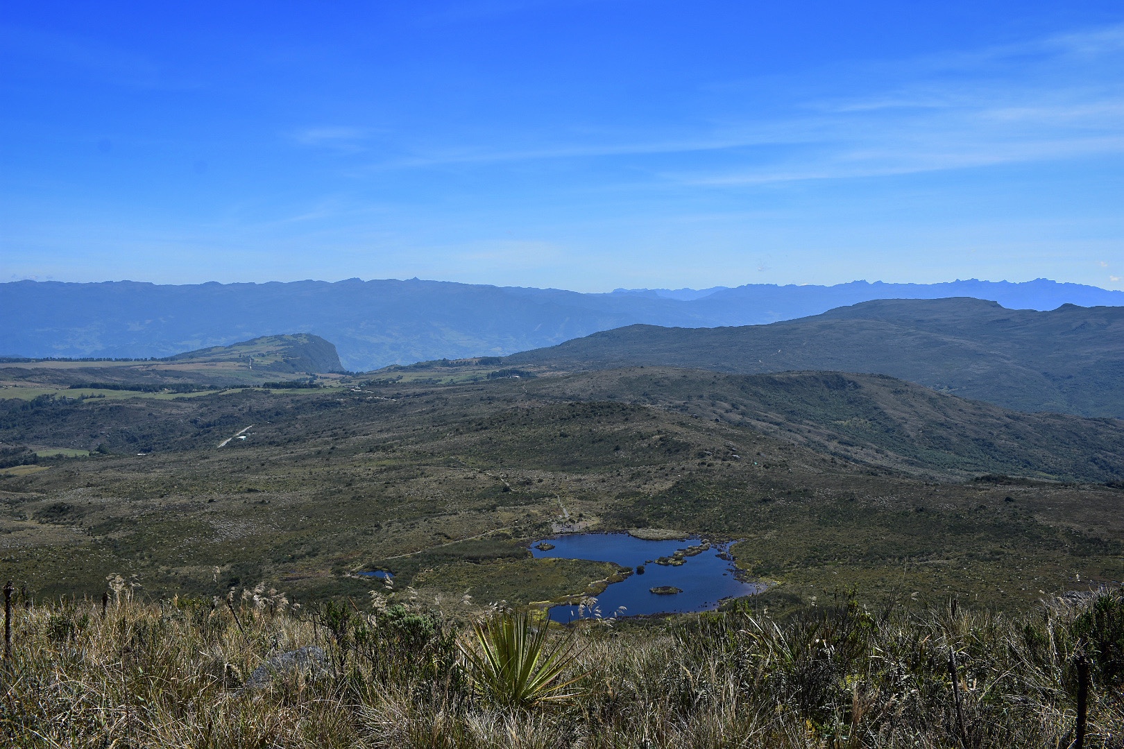
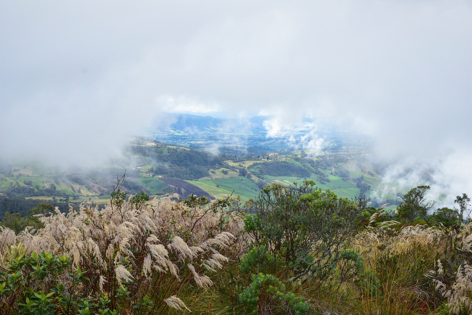
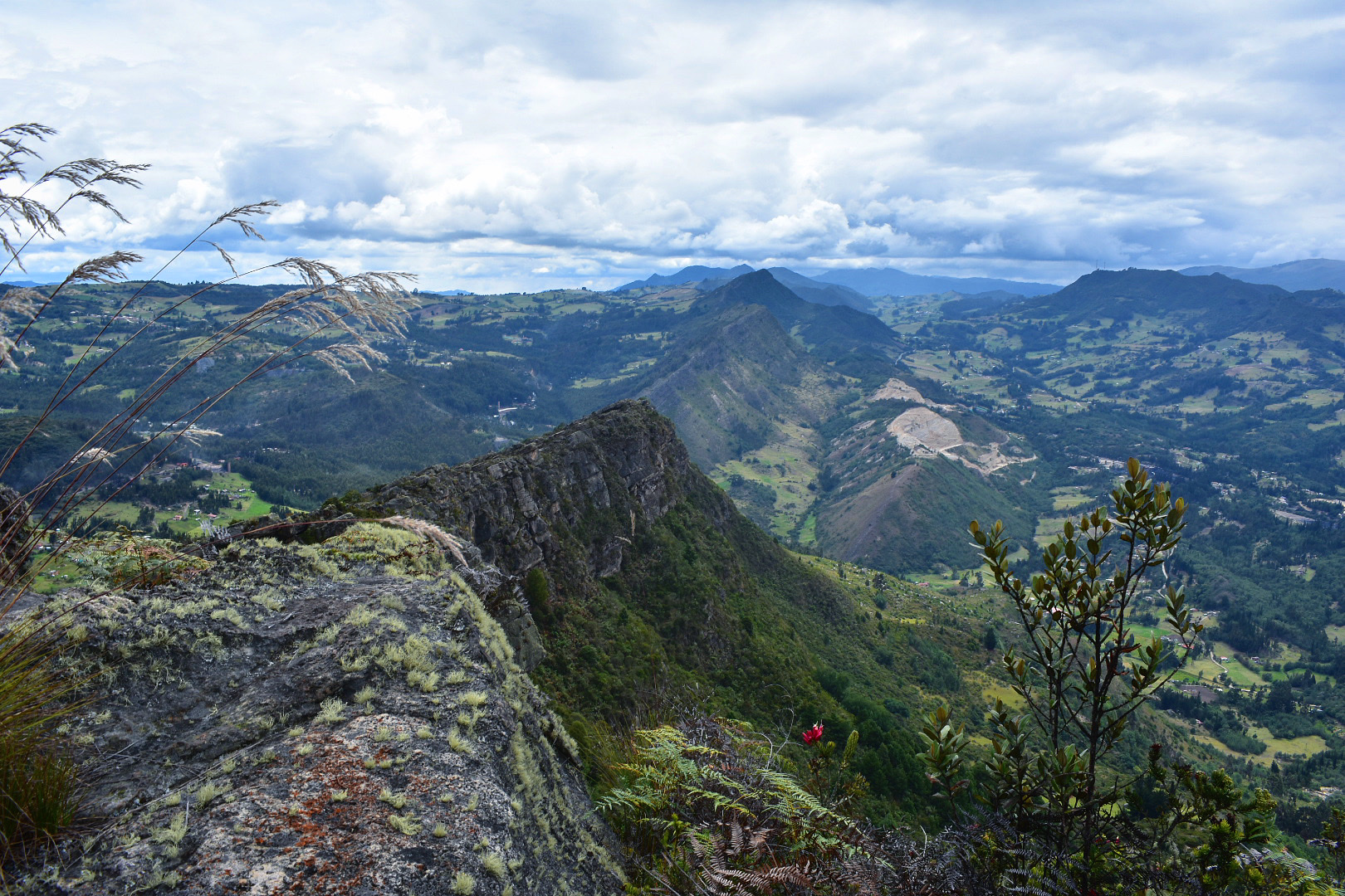
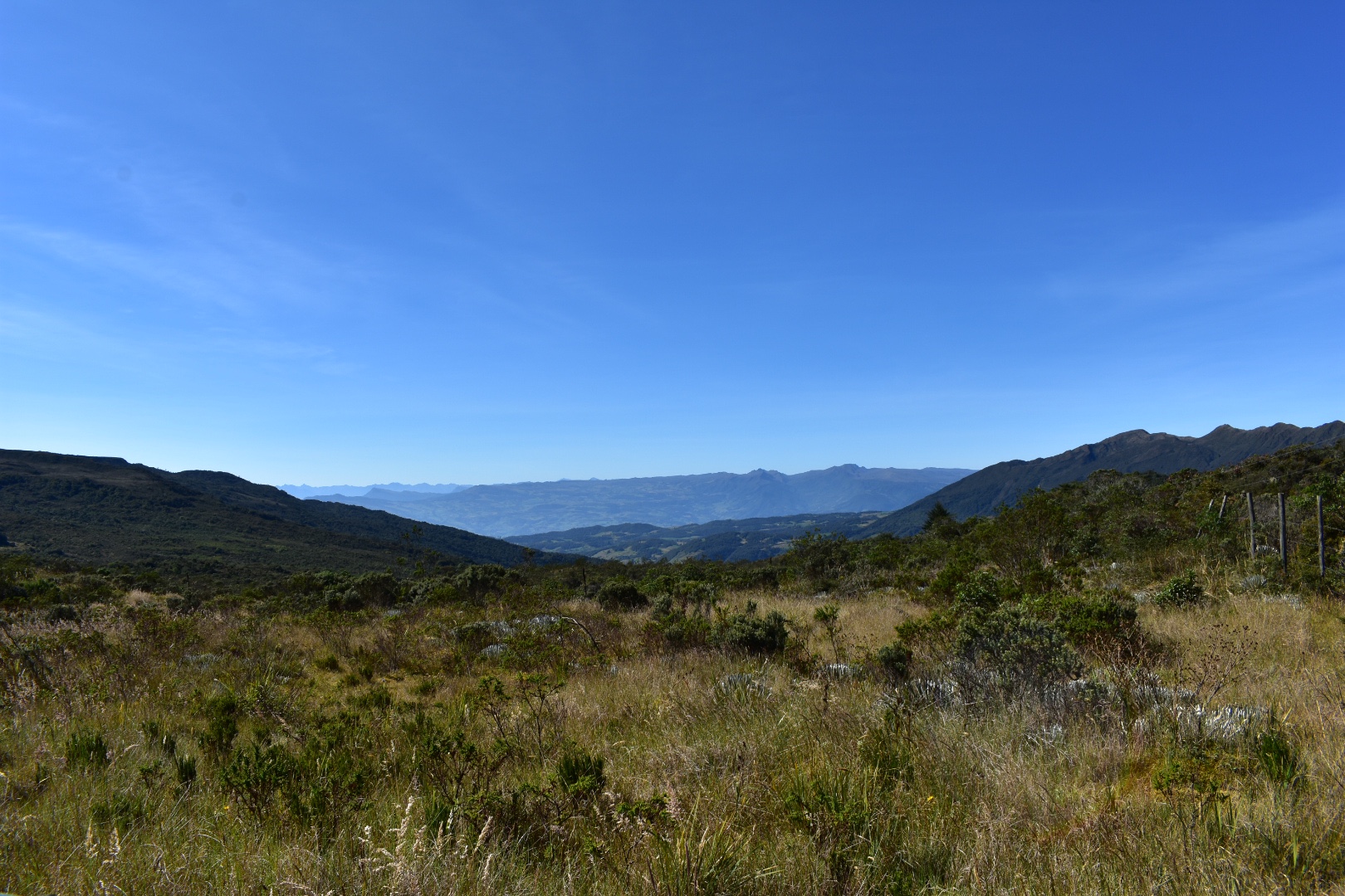
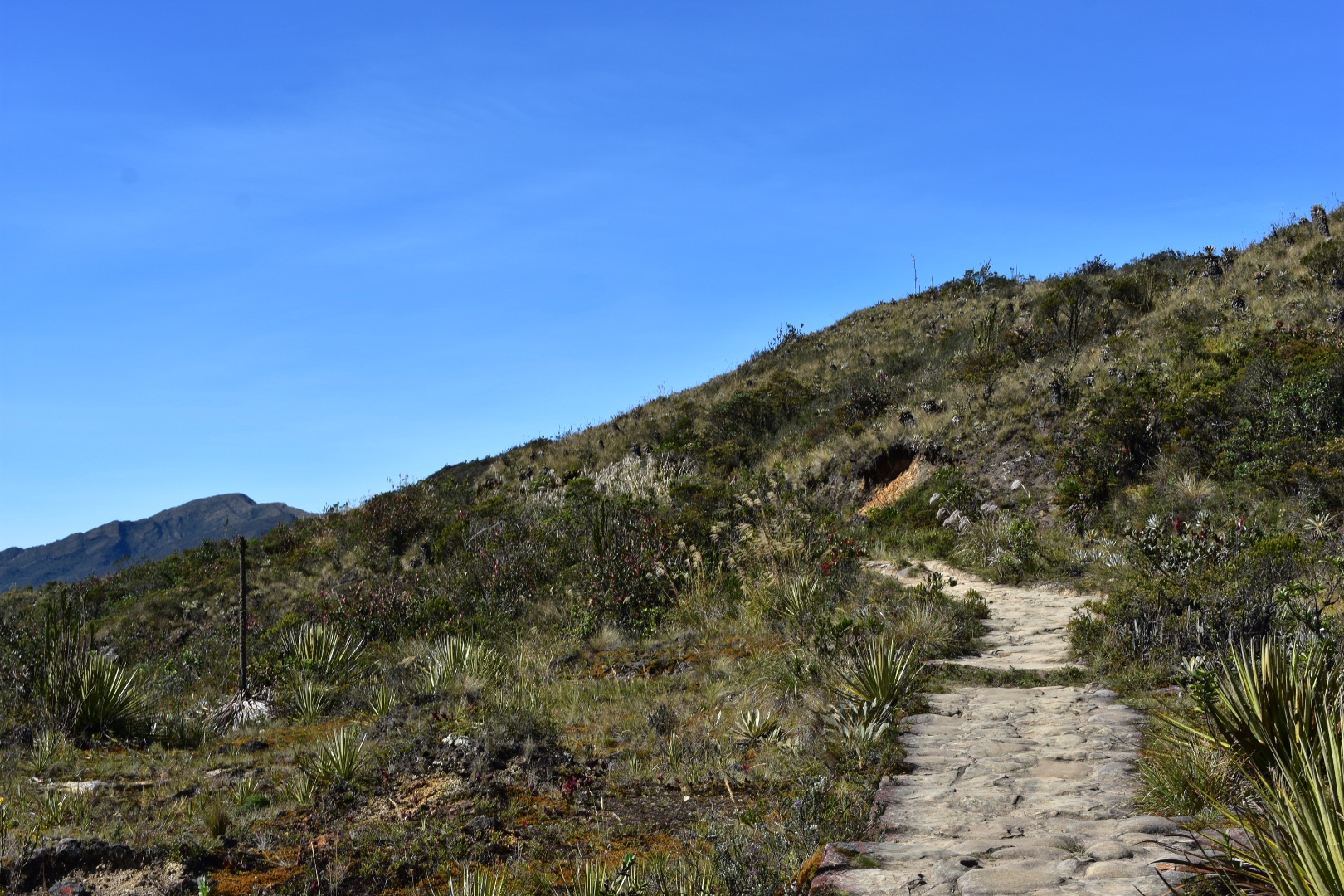
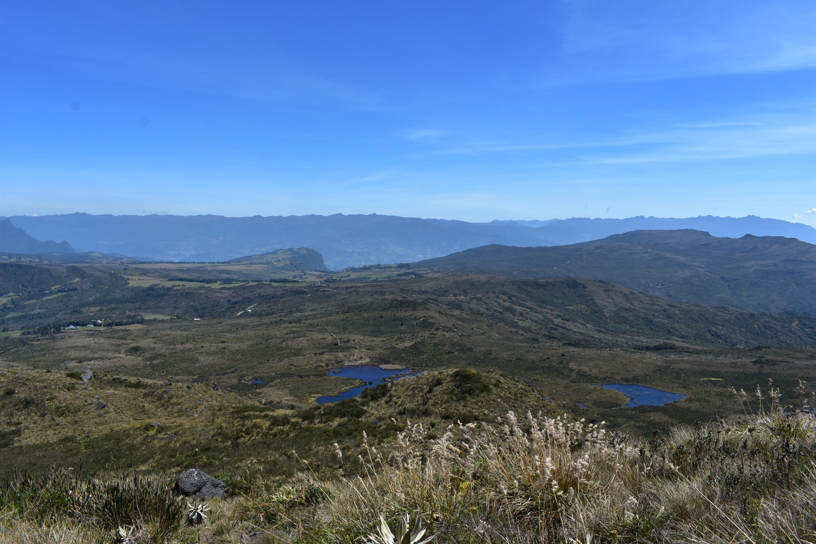
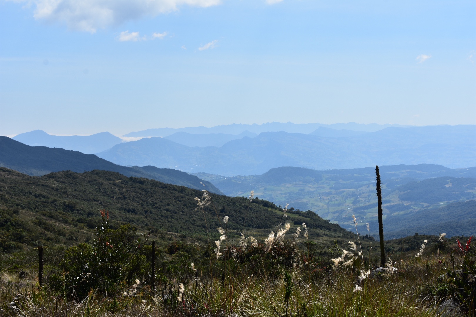
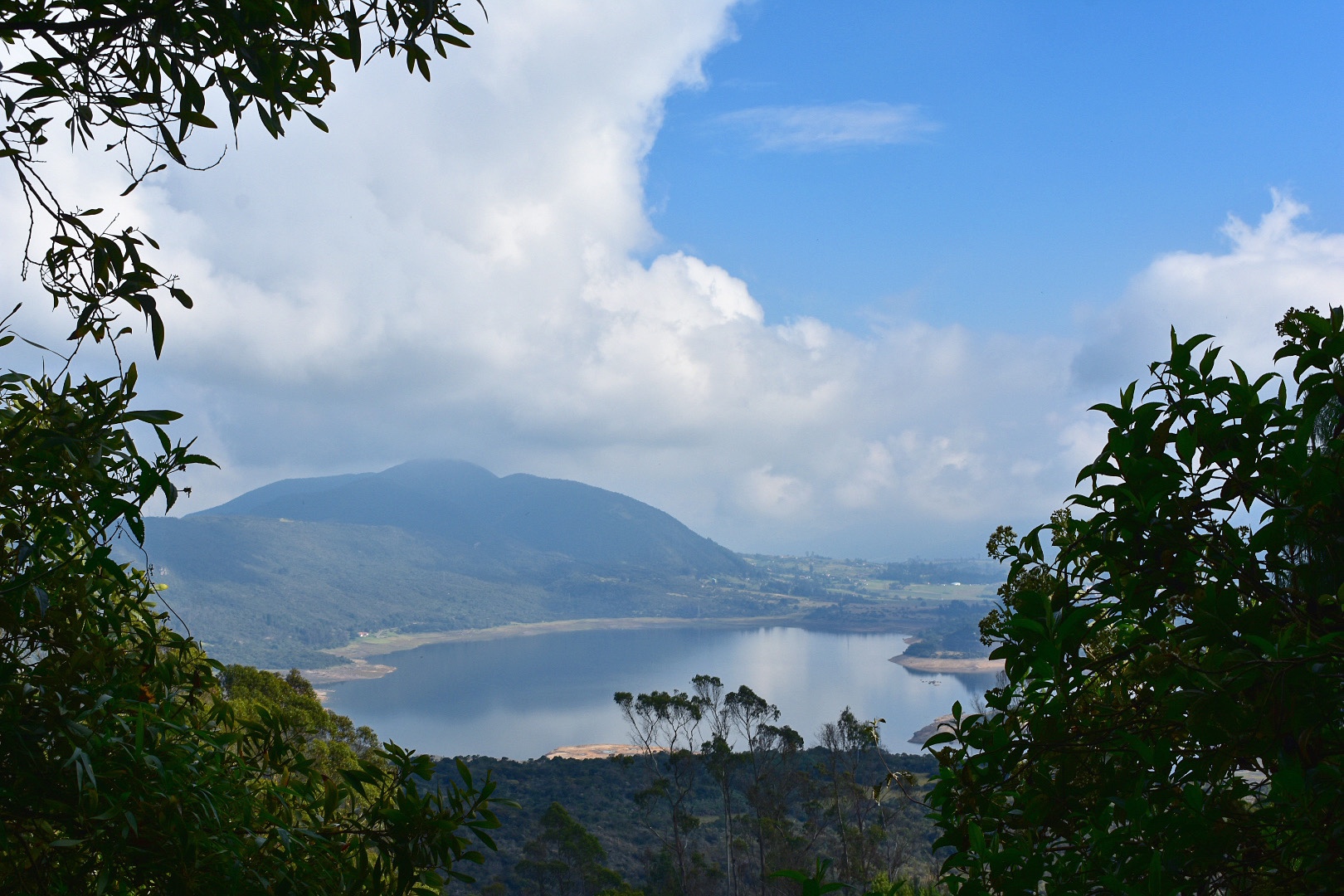
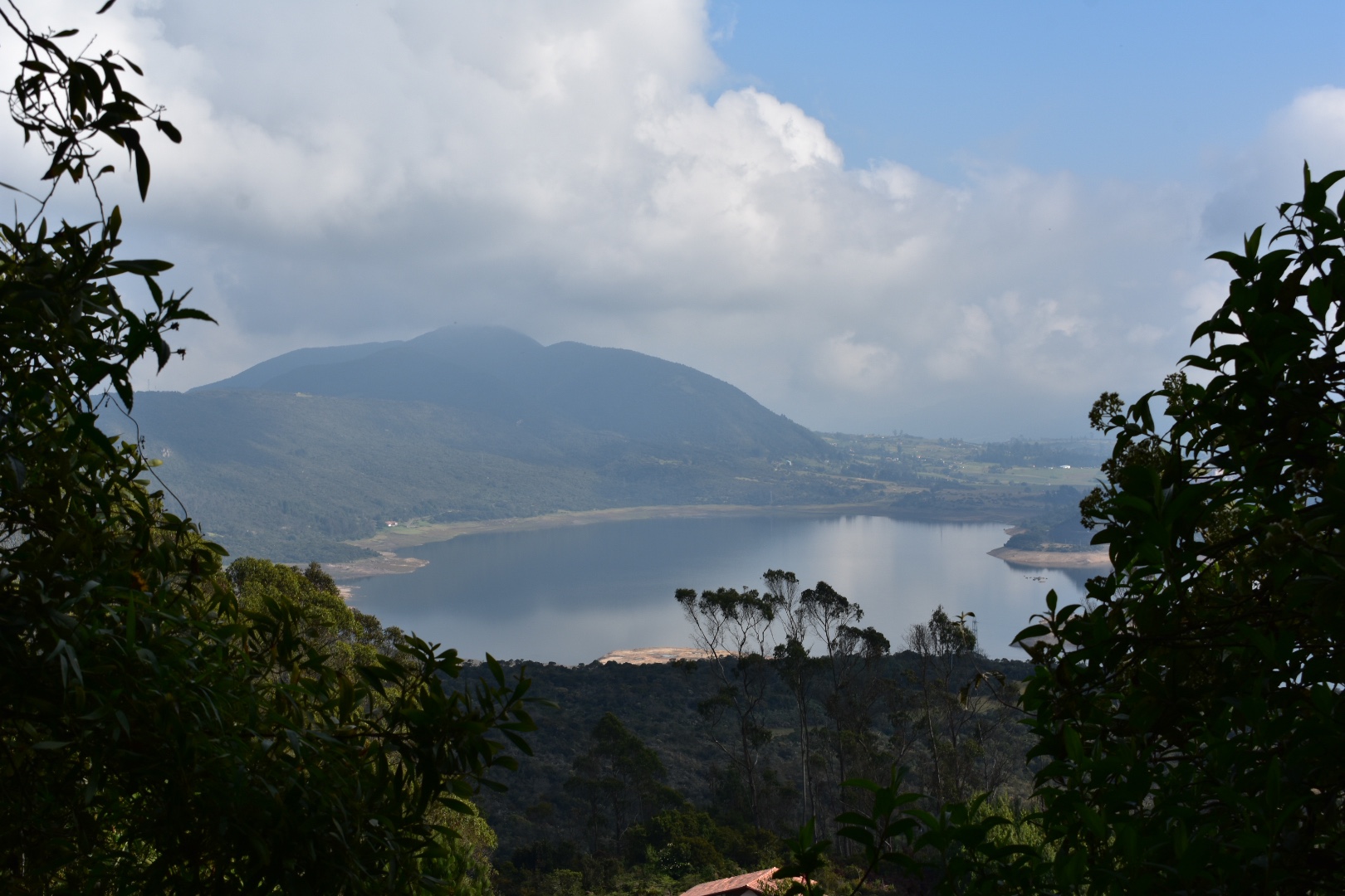
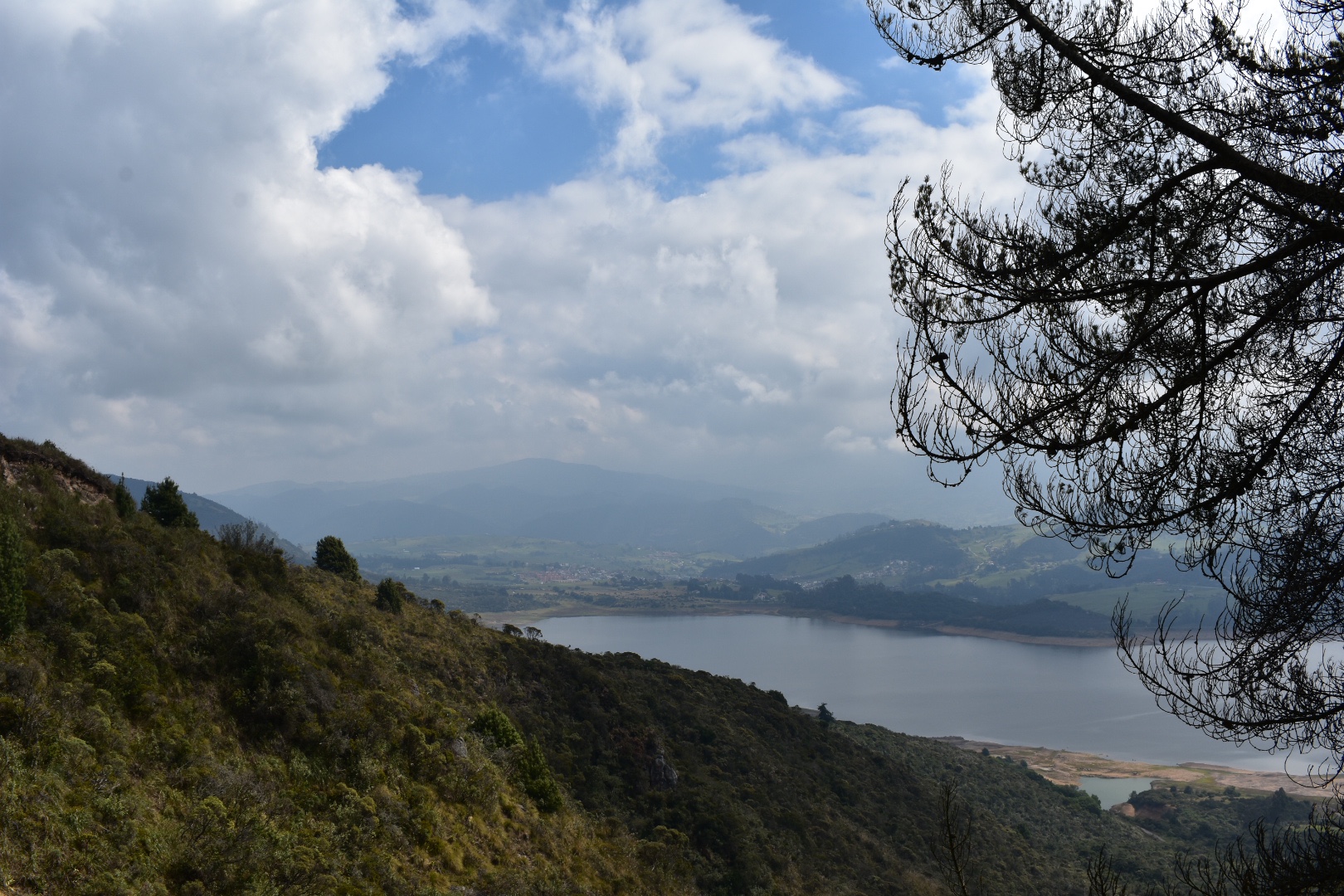
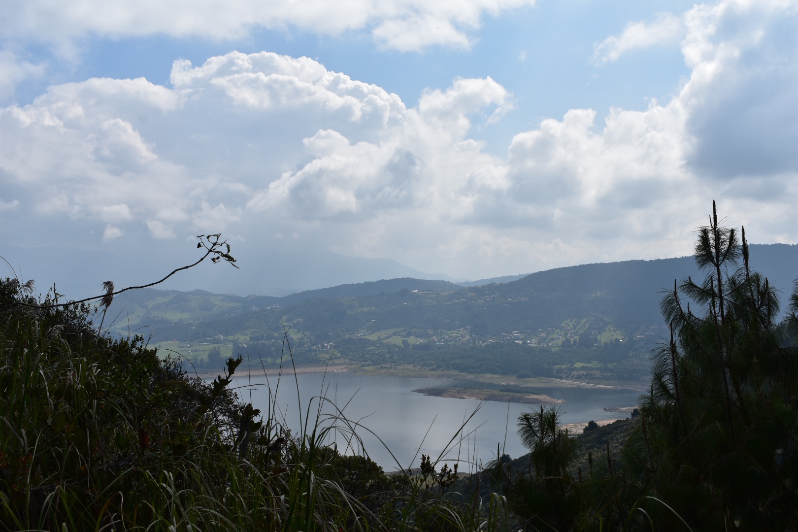
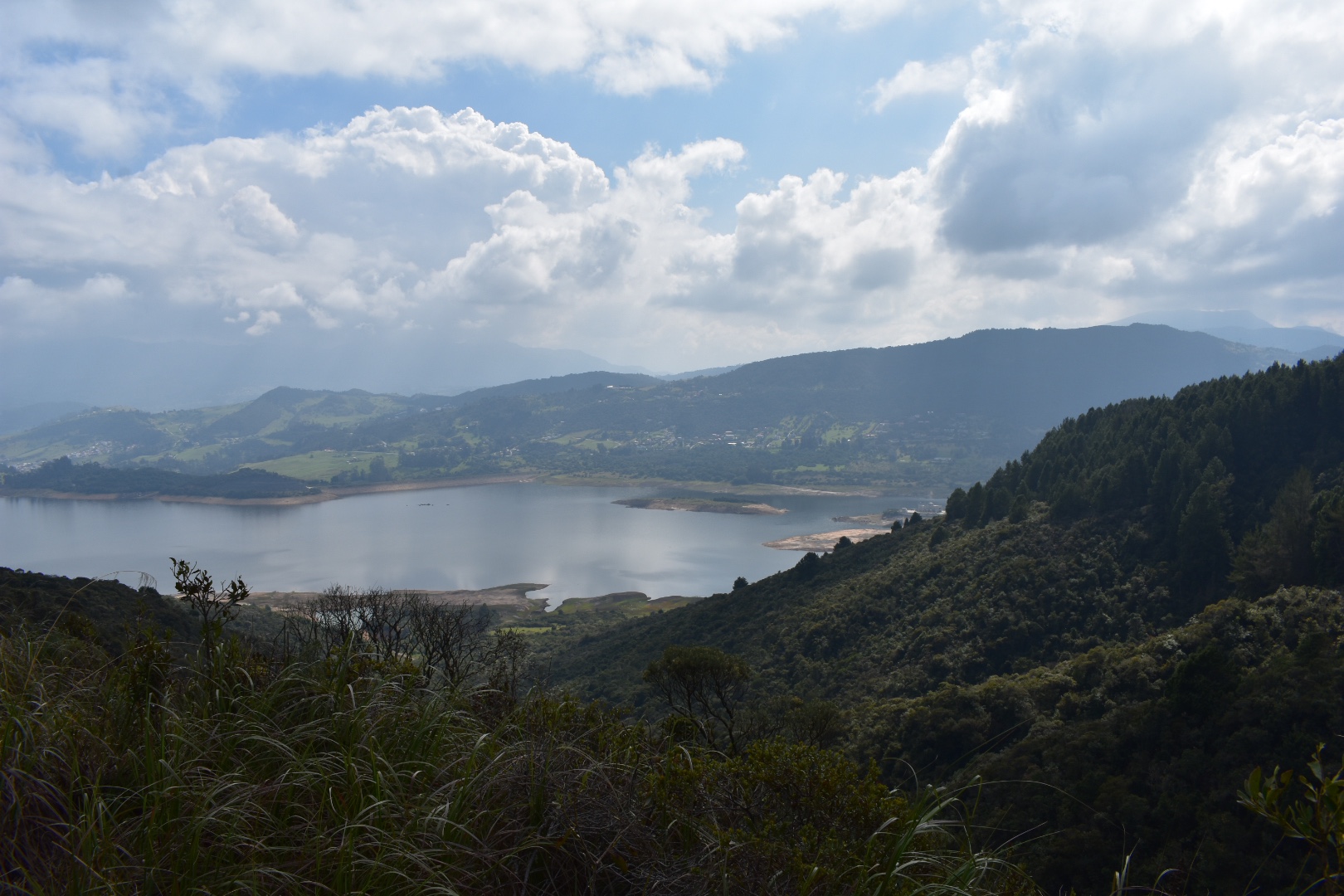
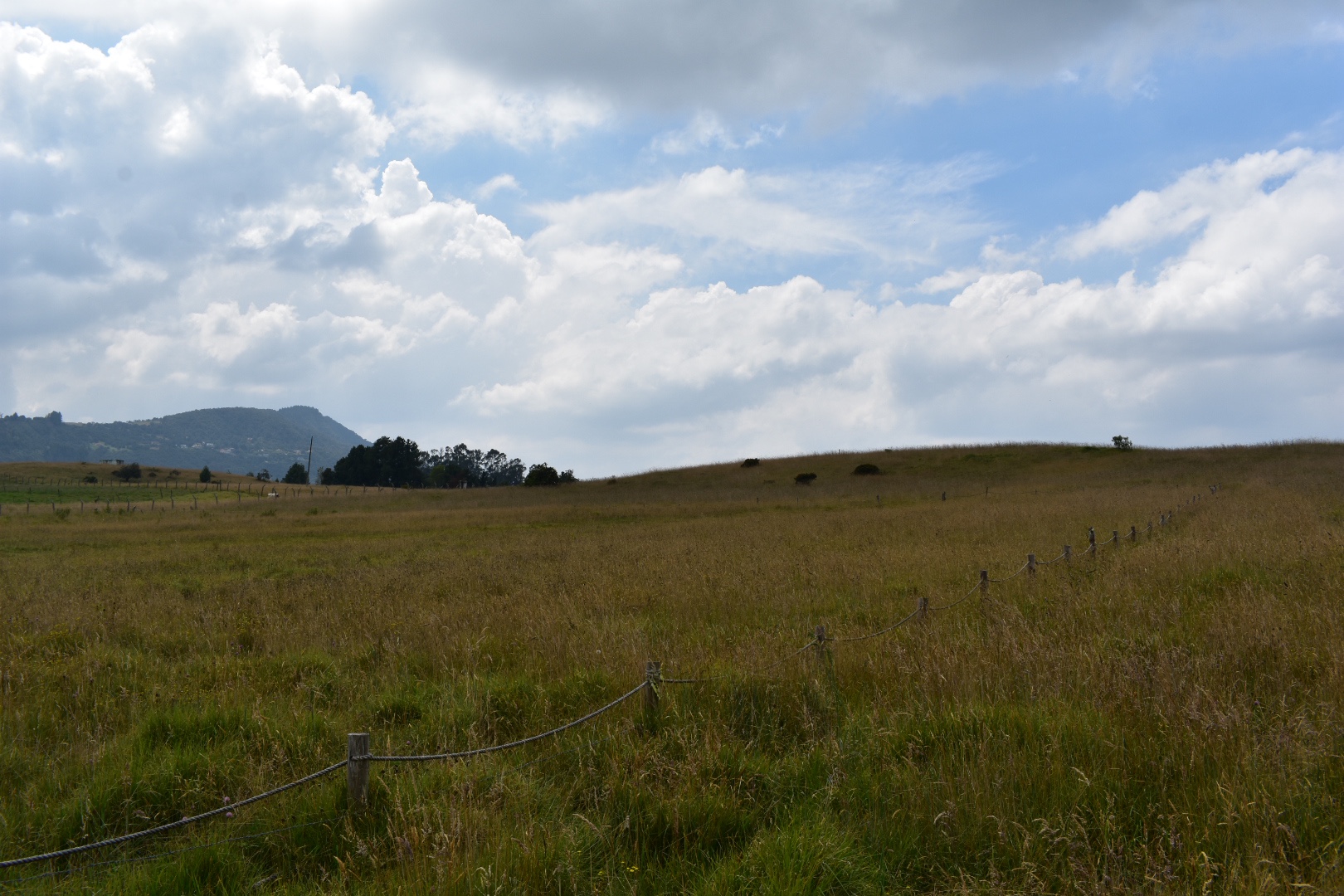
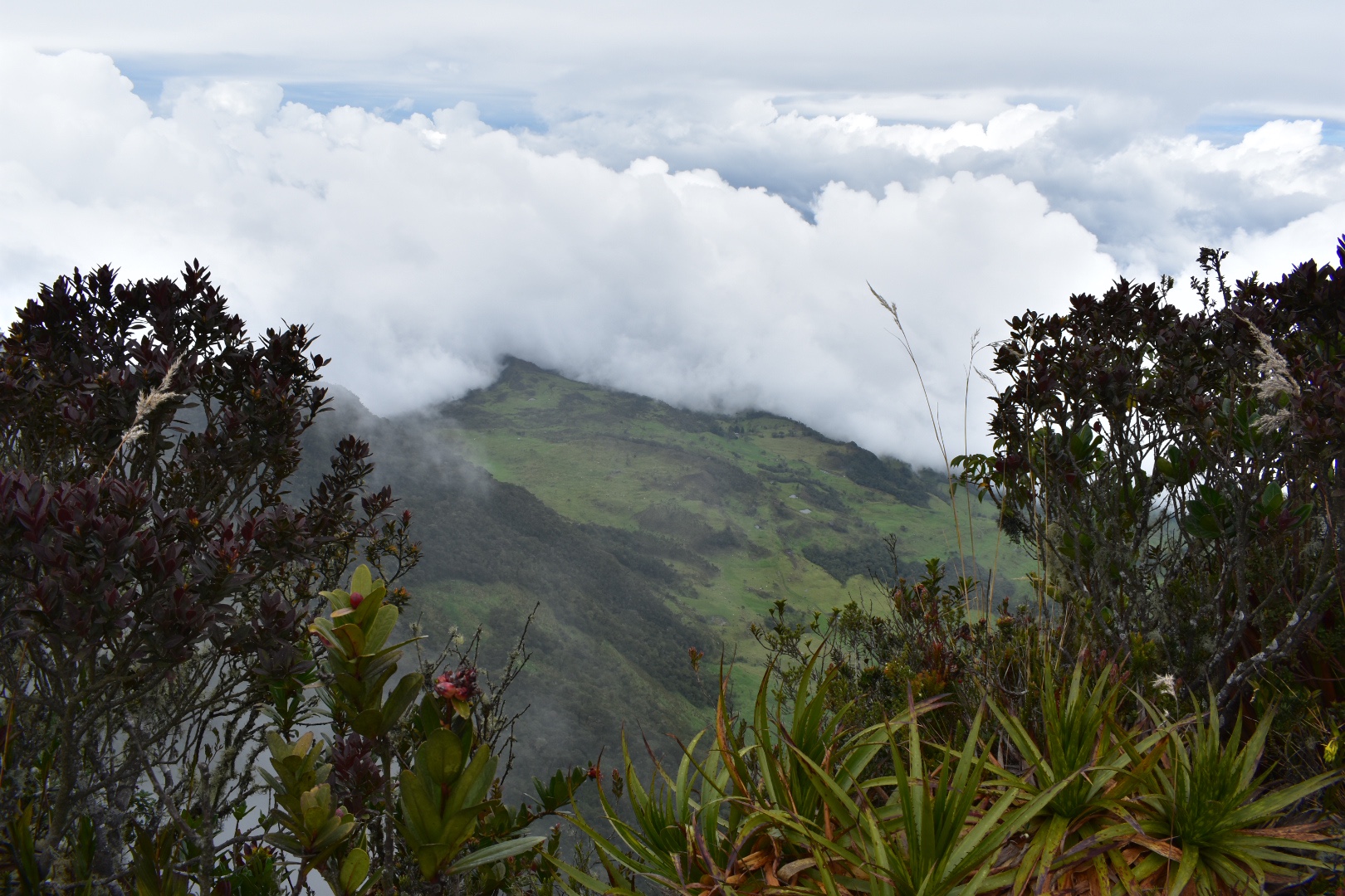
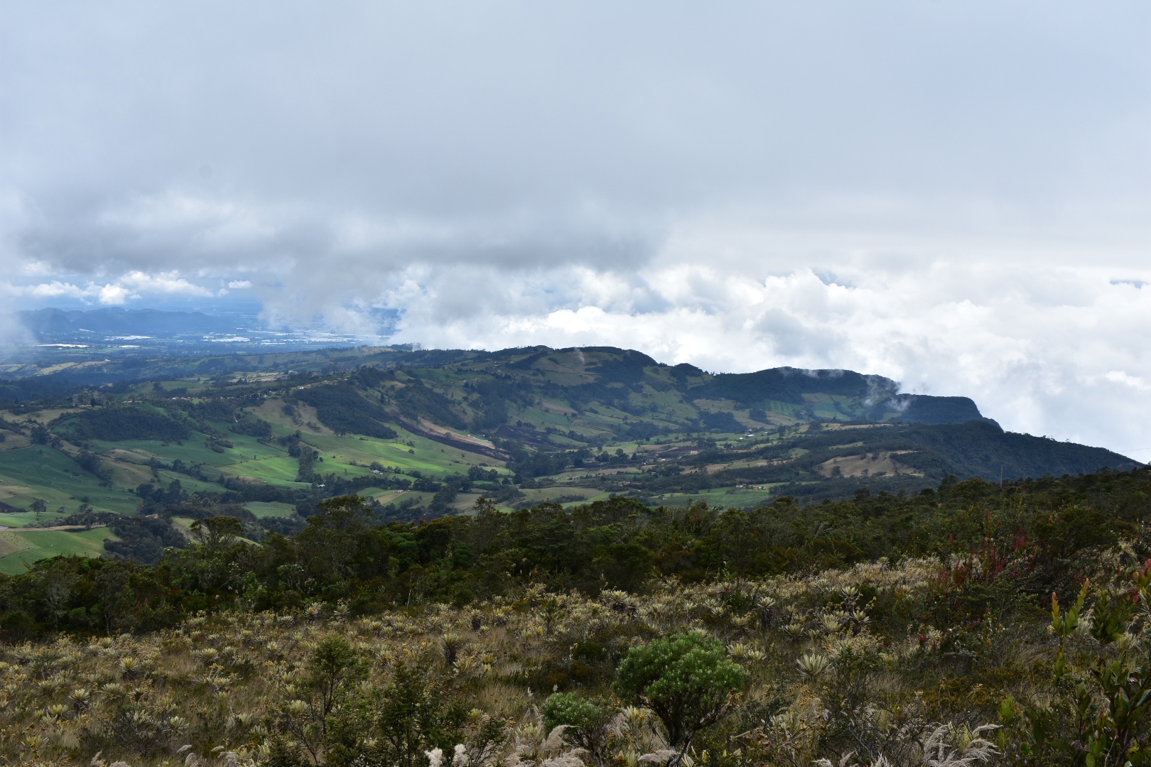
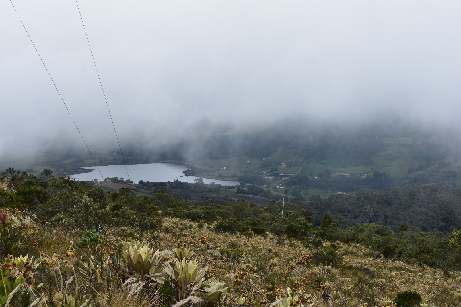
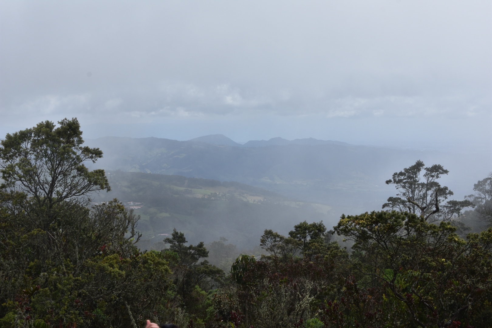
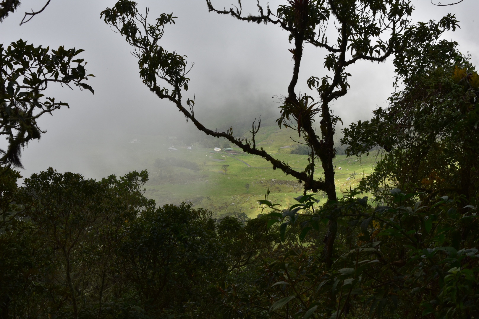
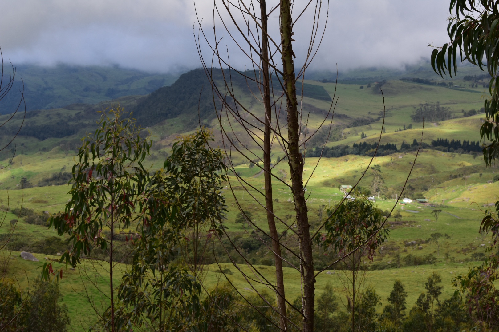
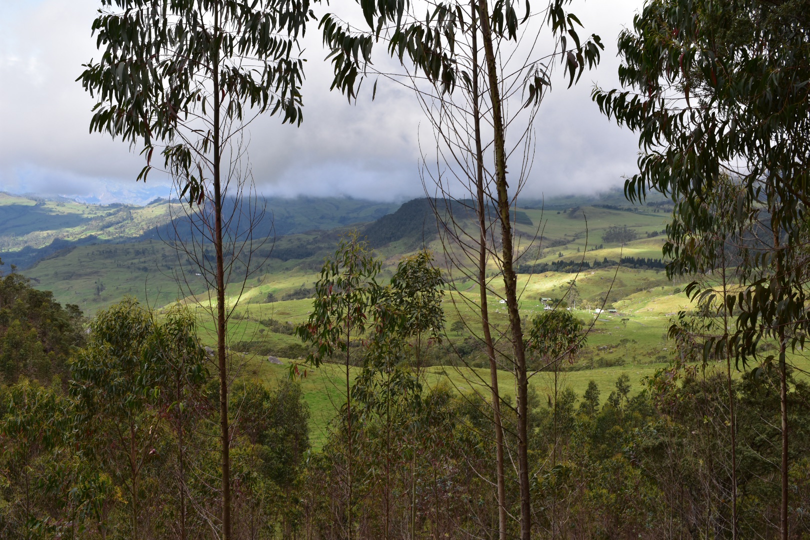
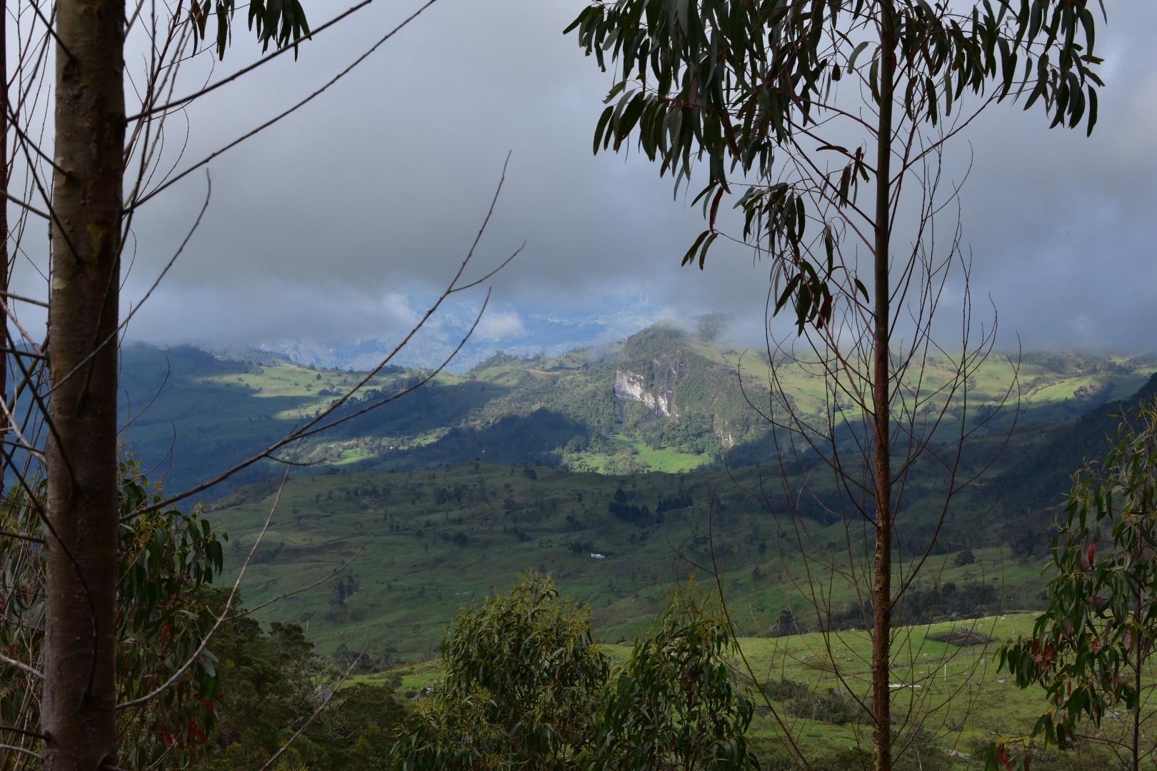
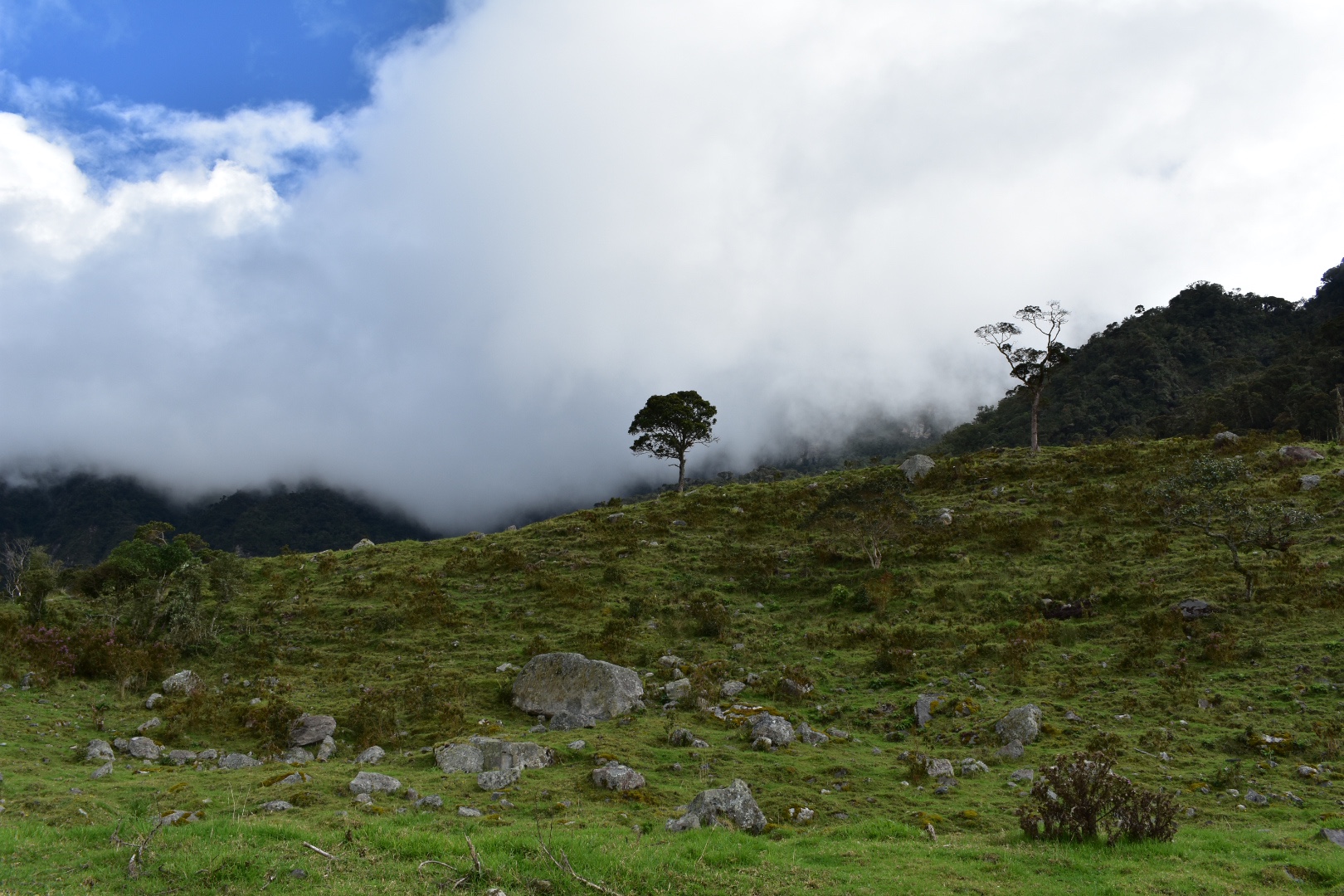
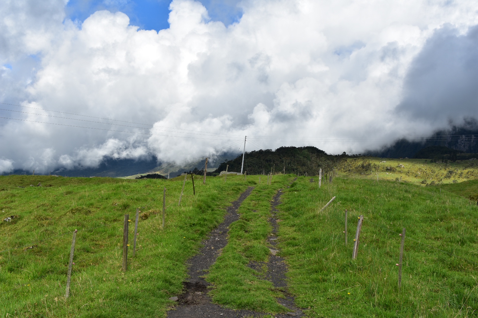
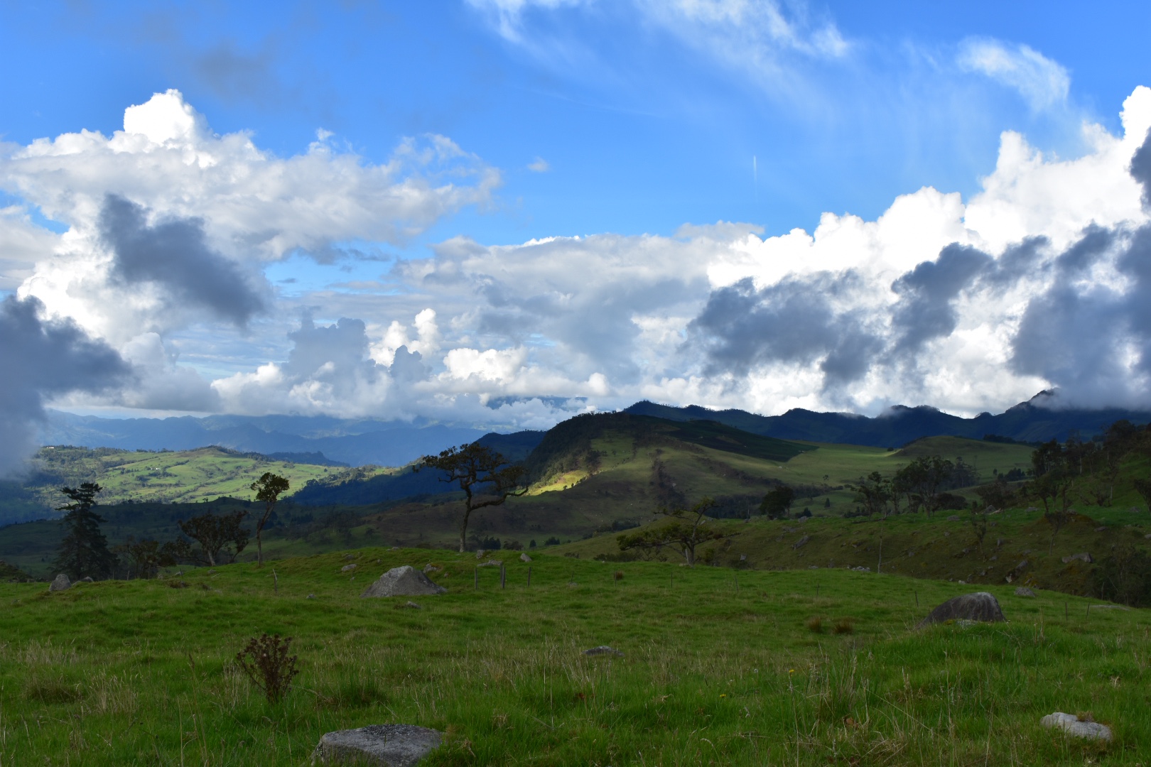
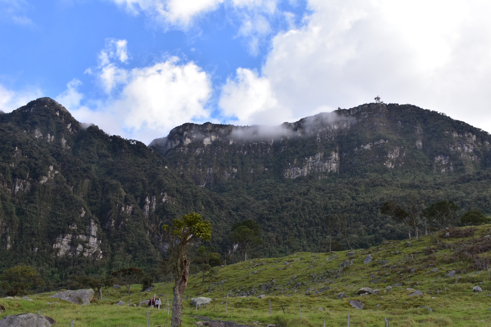
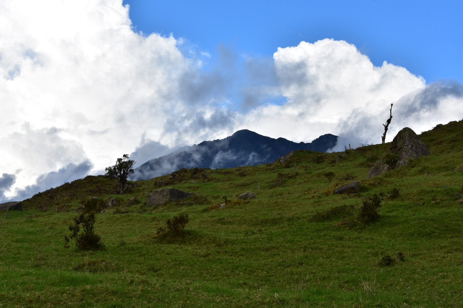
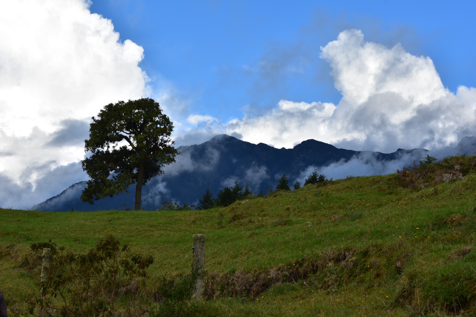
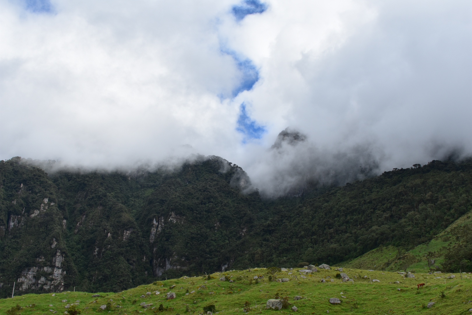
 You come out into a meadow and from here you can see views of all the surrounding mountains as well as a panoramic view of the canyon.


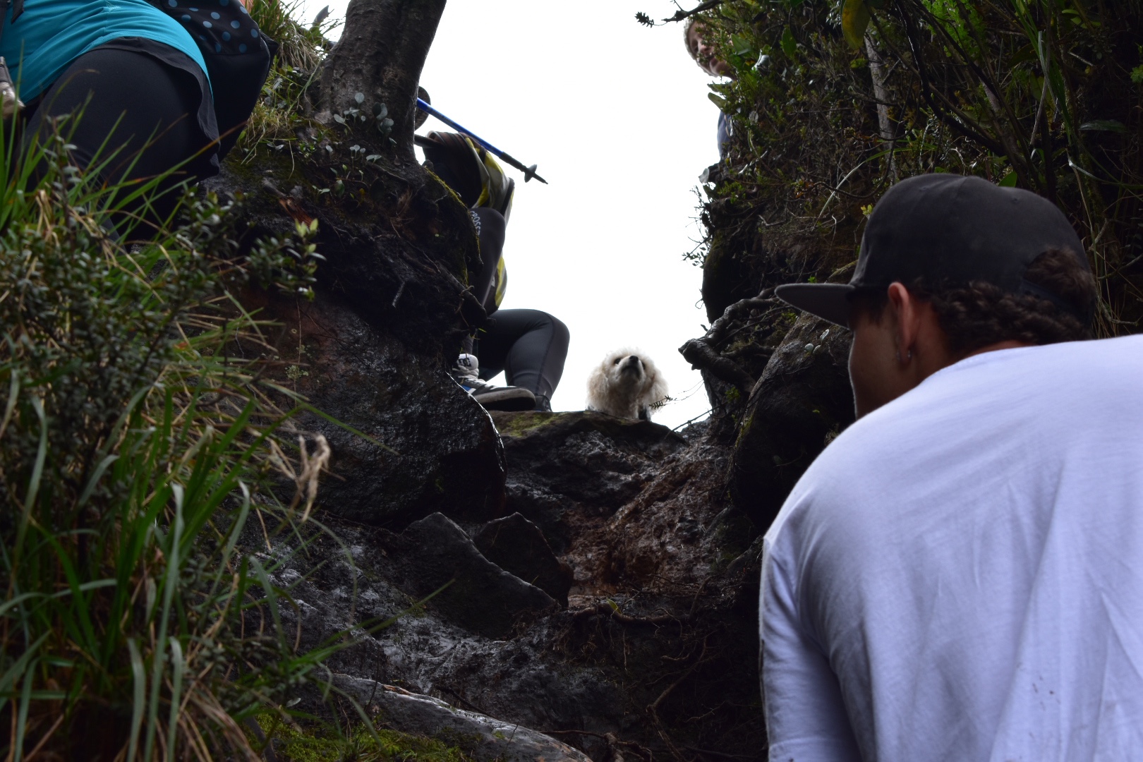
 When you reach this point you will want to take the path to the right, following the side of the canyon. The security guard overtook me on his bike and I found that there was a path leading down but it had a fallen tree across it. The tree was easily crossed but there was another large group coming form the path that came from the left. I thought I had gone the wrong way so took the path to the left and soon realised I wasn’t on the correct path according to Maps.me, but also I wasn’t too far away from it. Luckily the security guard and the dog came back and he informed me that I was going in the wrong direction. So I retracted my steps and headed back to the path going down, but I was quite happy as this is the direction I had originally wanted to travel.


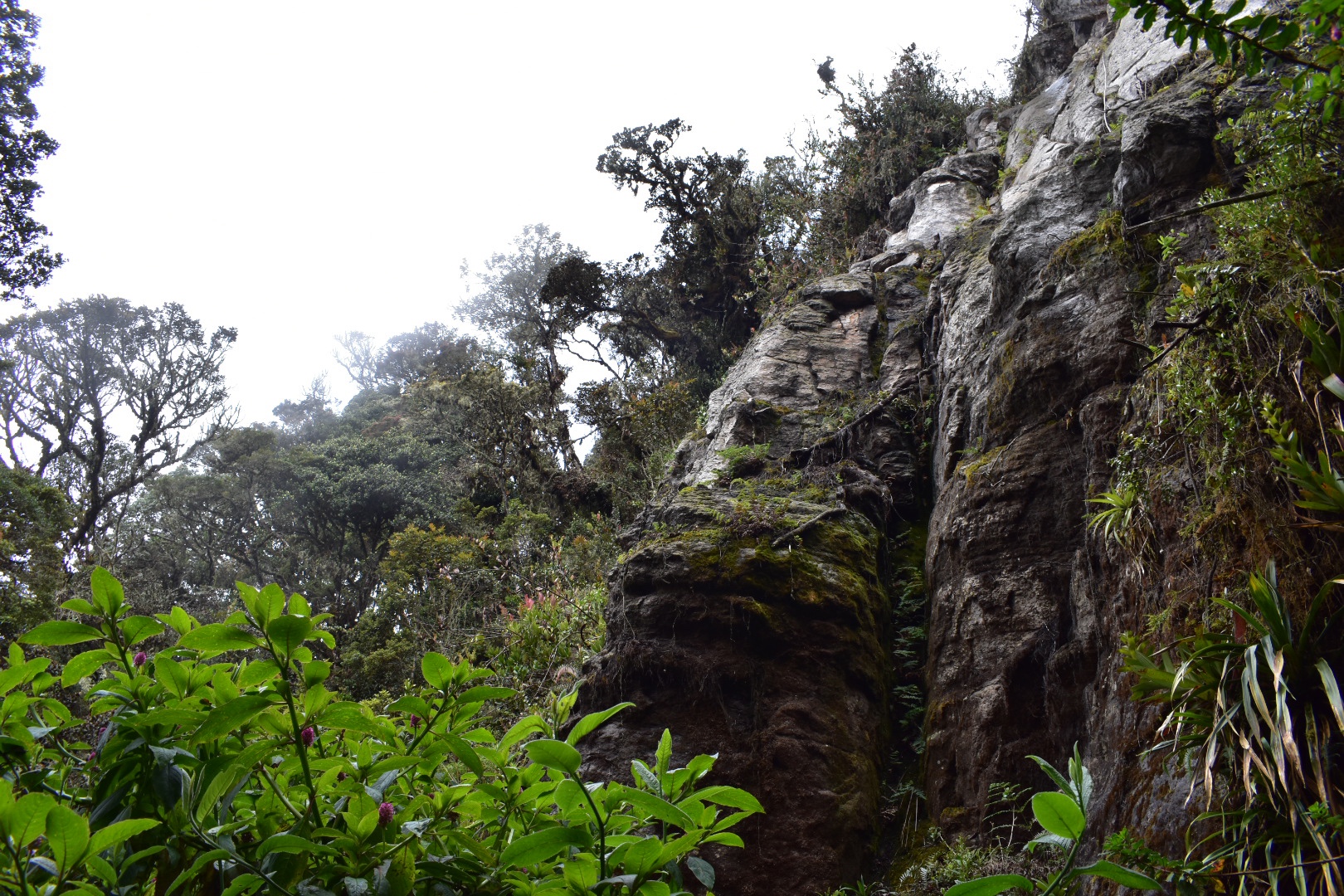
 Here is the tree blocking the path.
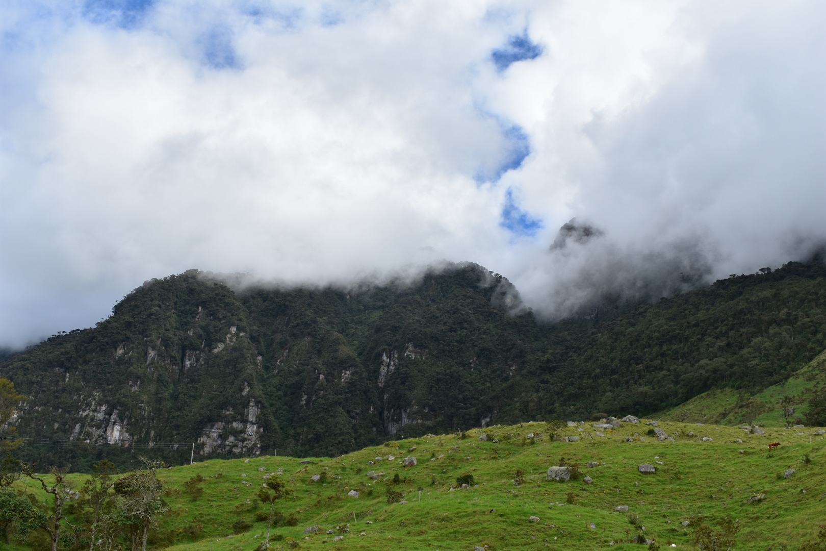
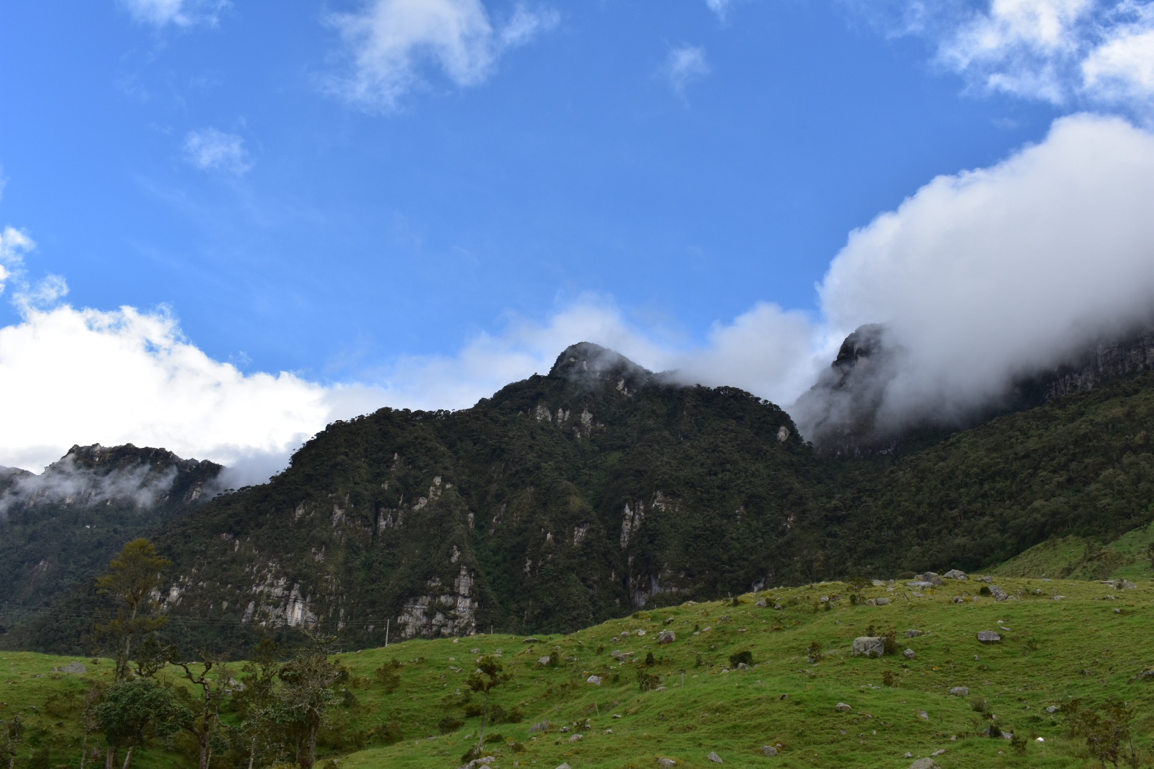
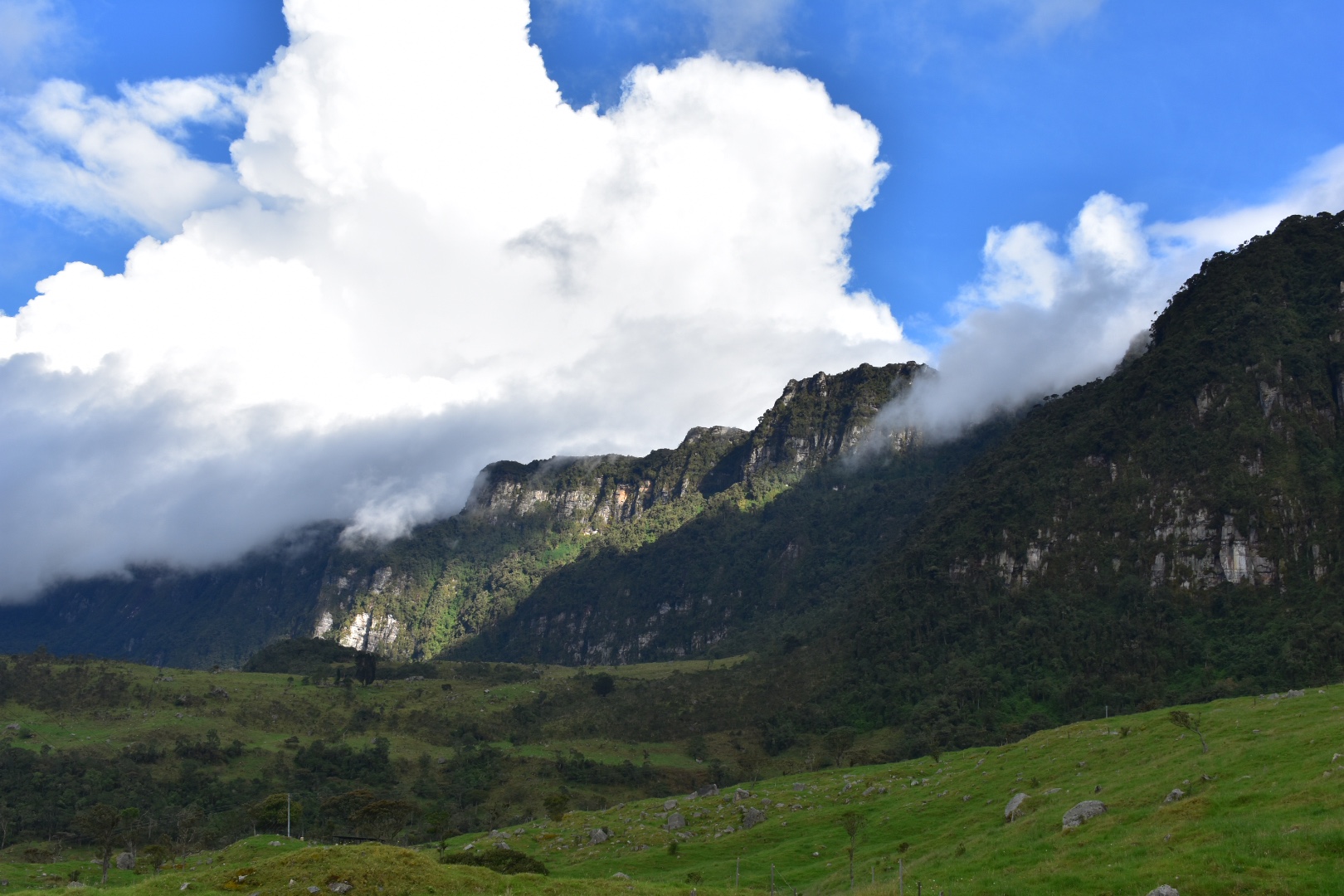
 As the path led down I was treated to some great views and got closer and closer to the canyon itself. Soon I was able to see the places where climbers had reached the top and had left the bolts in the rocks.
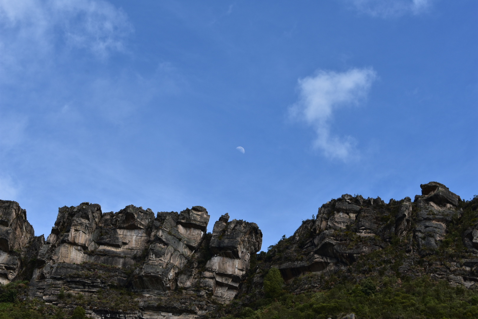
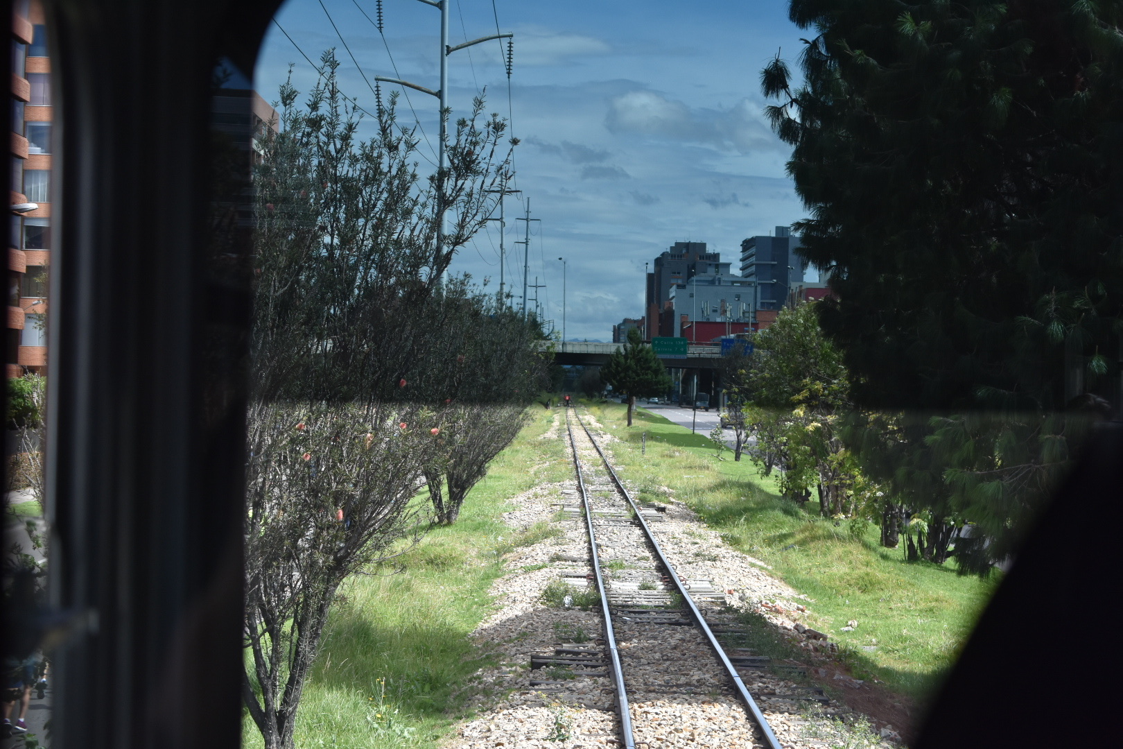
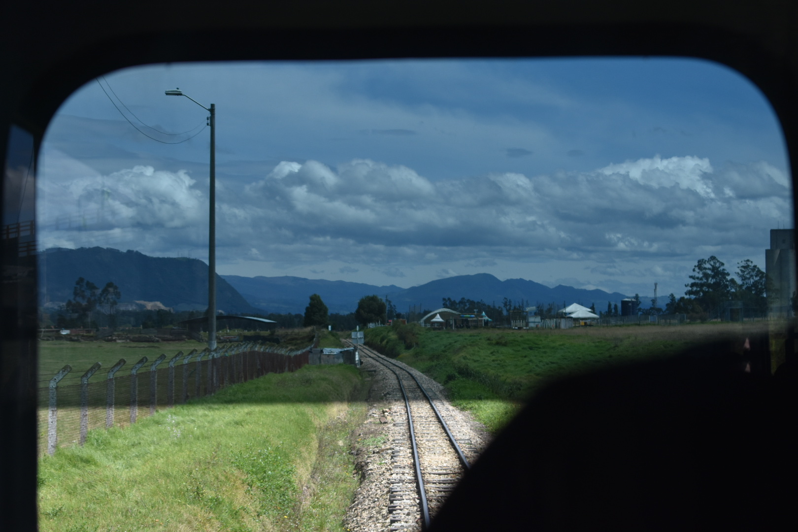
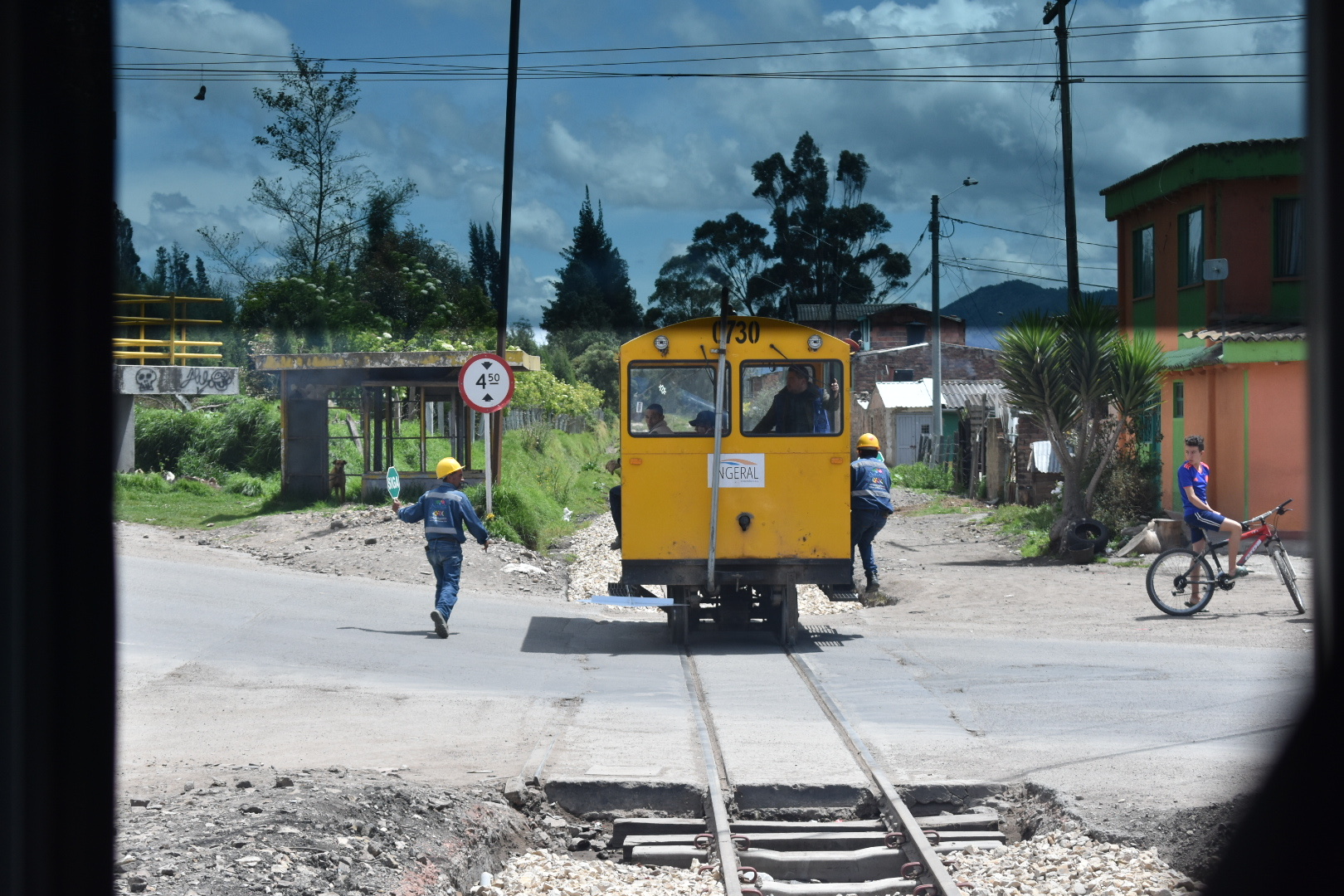
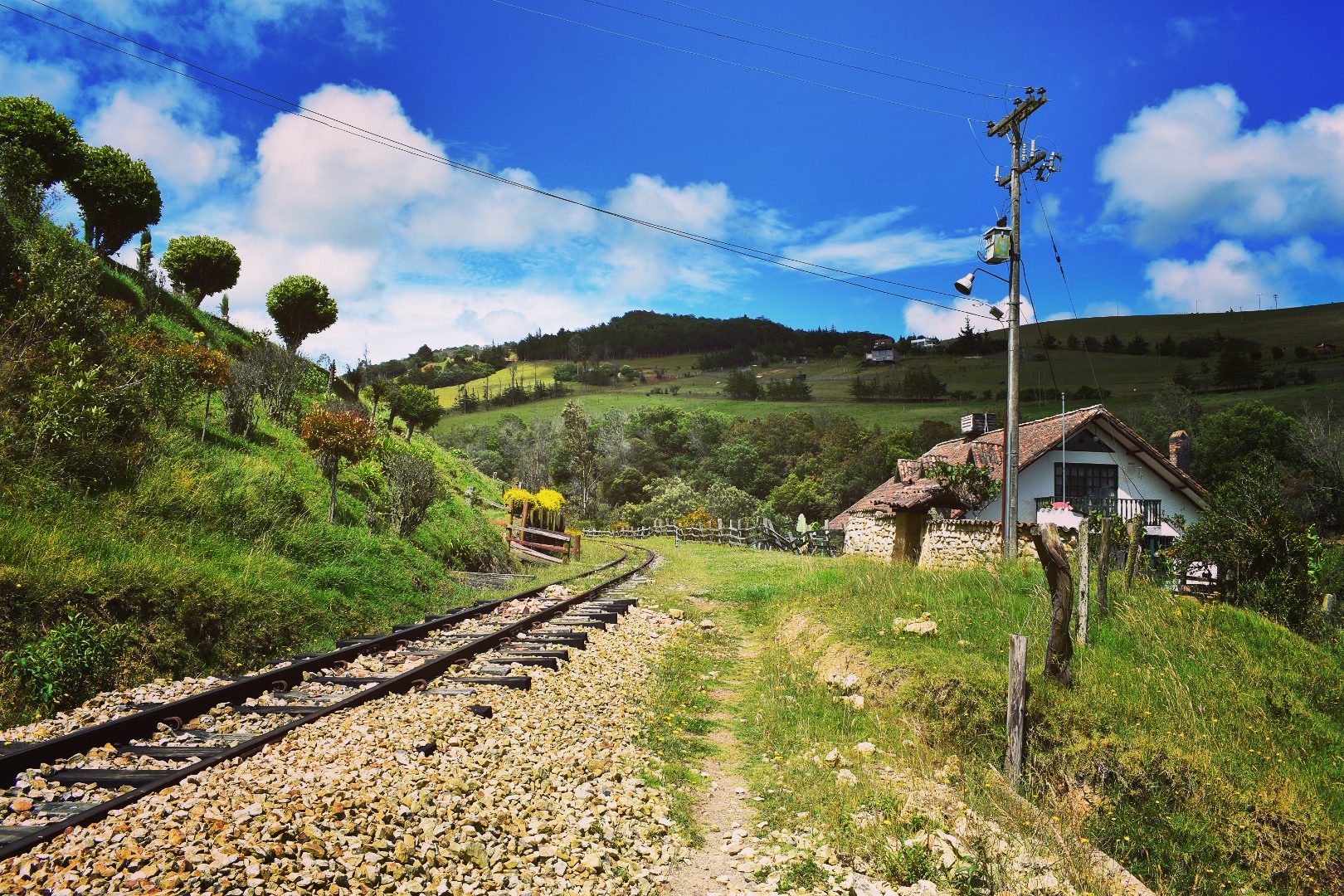
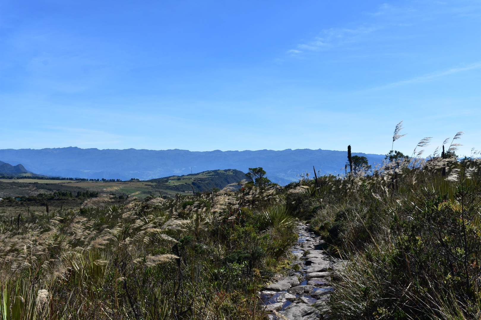
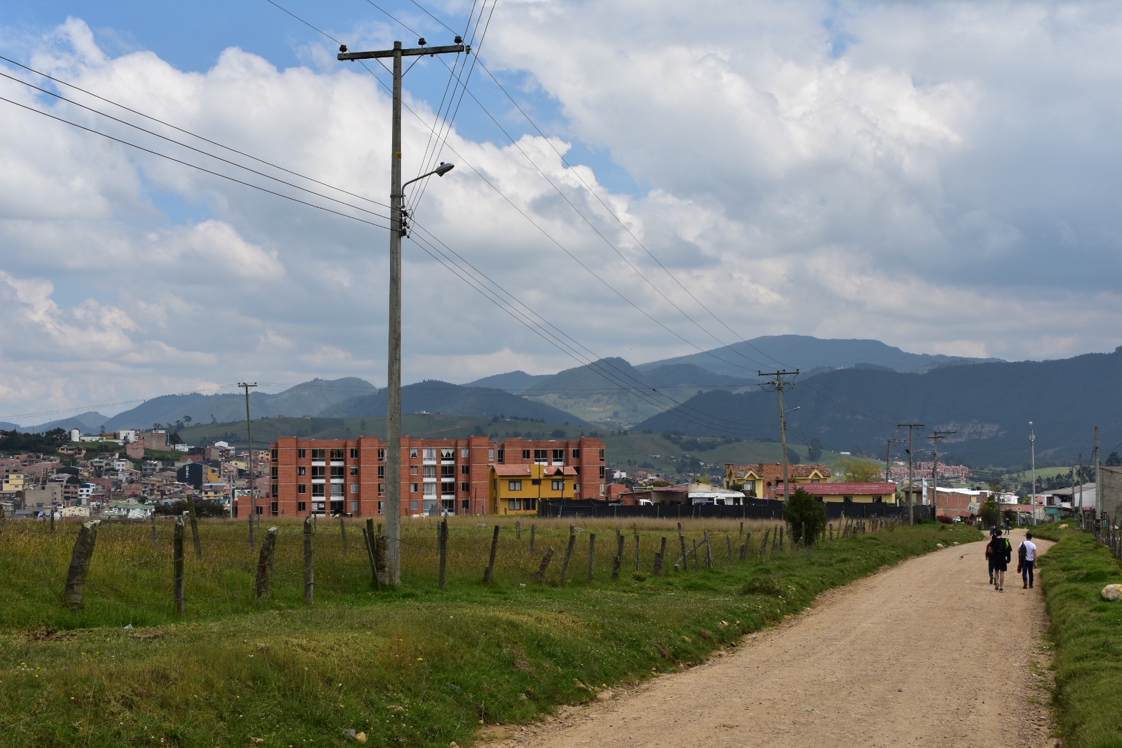
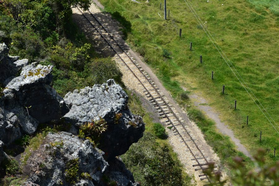
 I then got to see the train tracks from above which is something I was particularly excited about.
 And in the photos below you can see the town of Suesca and the camp site. The trip back is again around 5km and its not a hard route to follow. The path is often pretty wide and all you have to do is stay along the edge of the cliff.
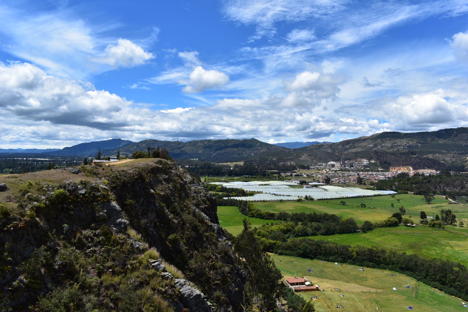


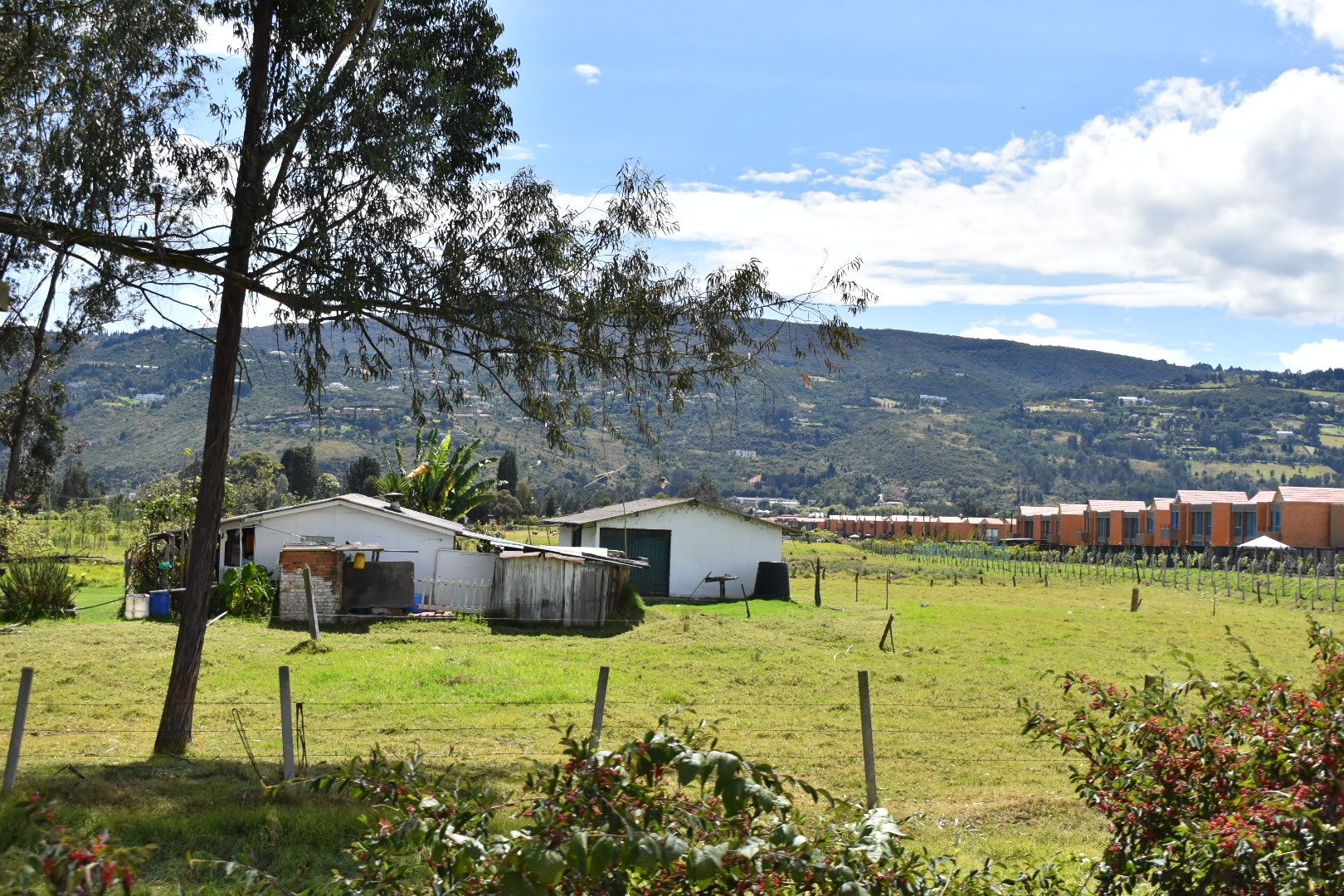
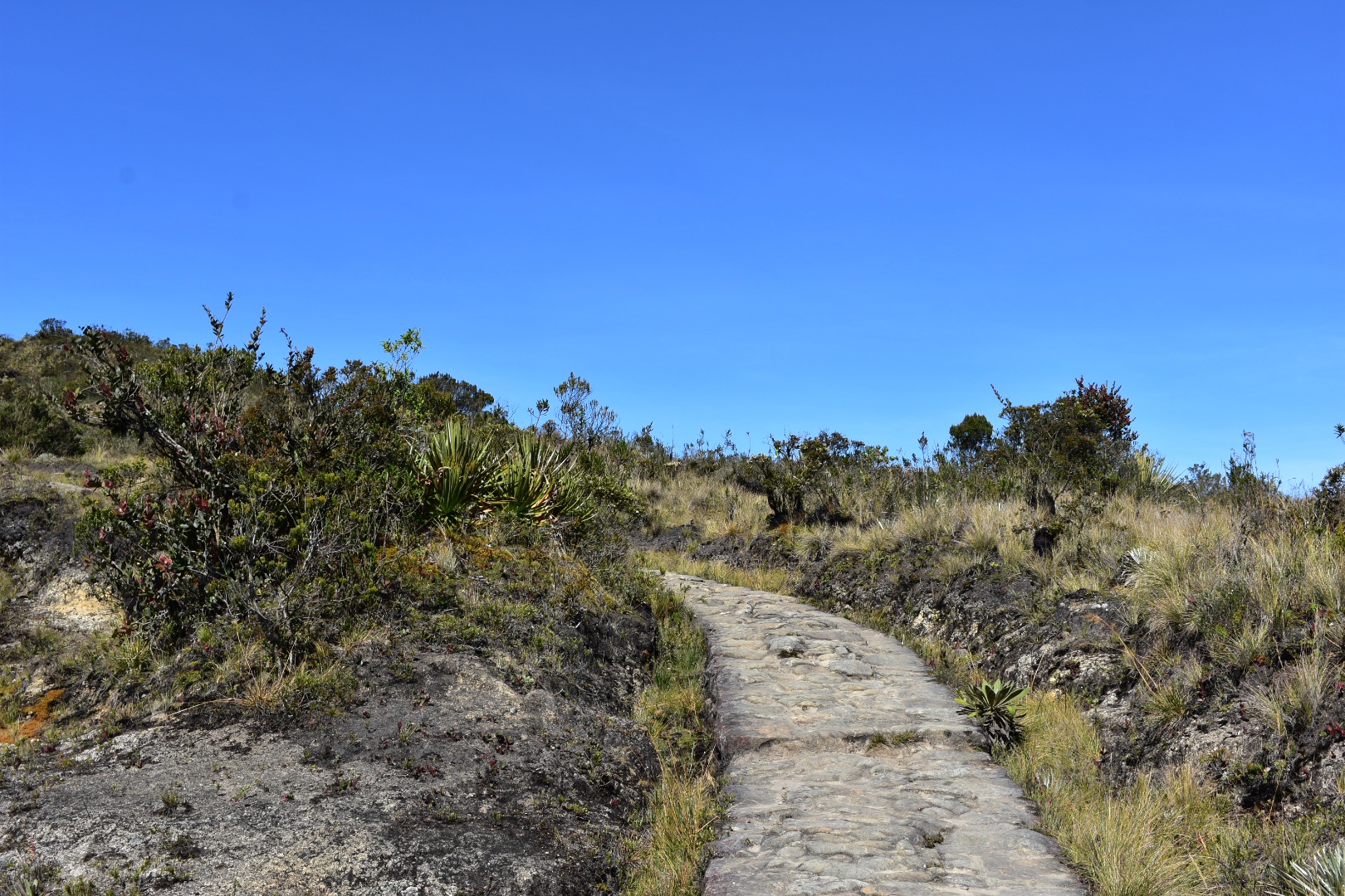
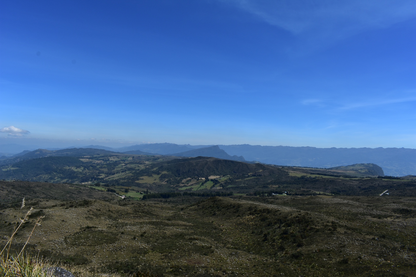
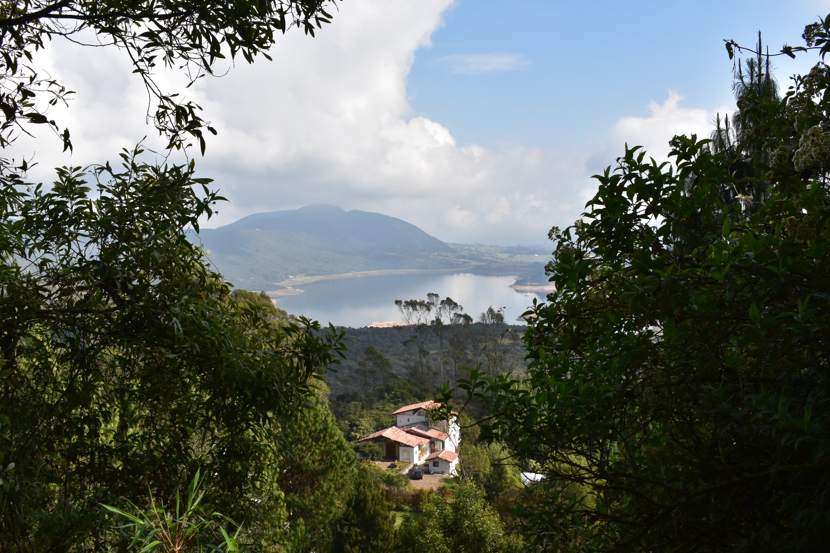
 After a while you will start seeing properties and ar which will take other routes down to the main road, but make sure you stay to the right following the main route.
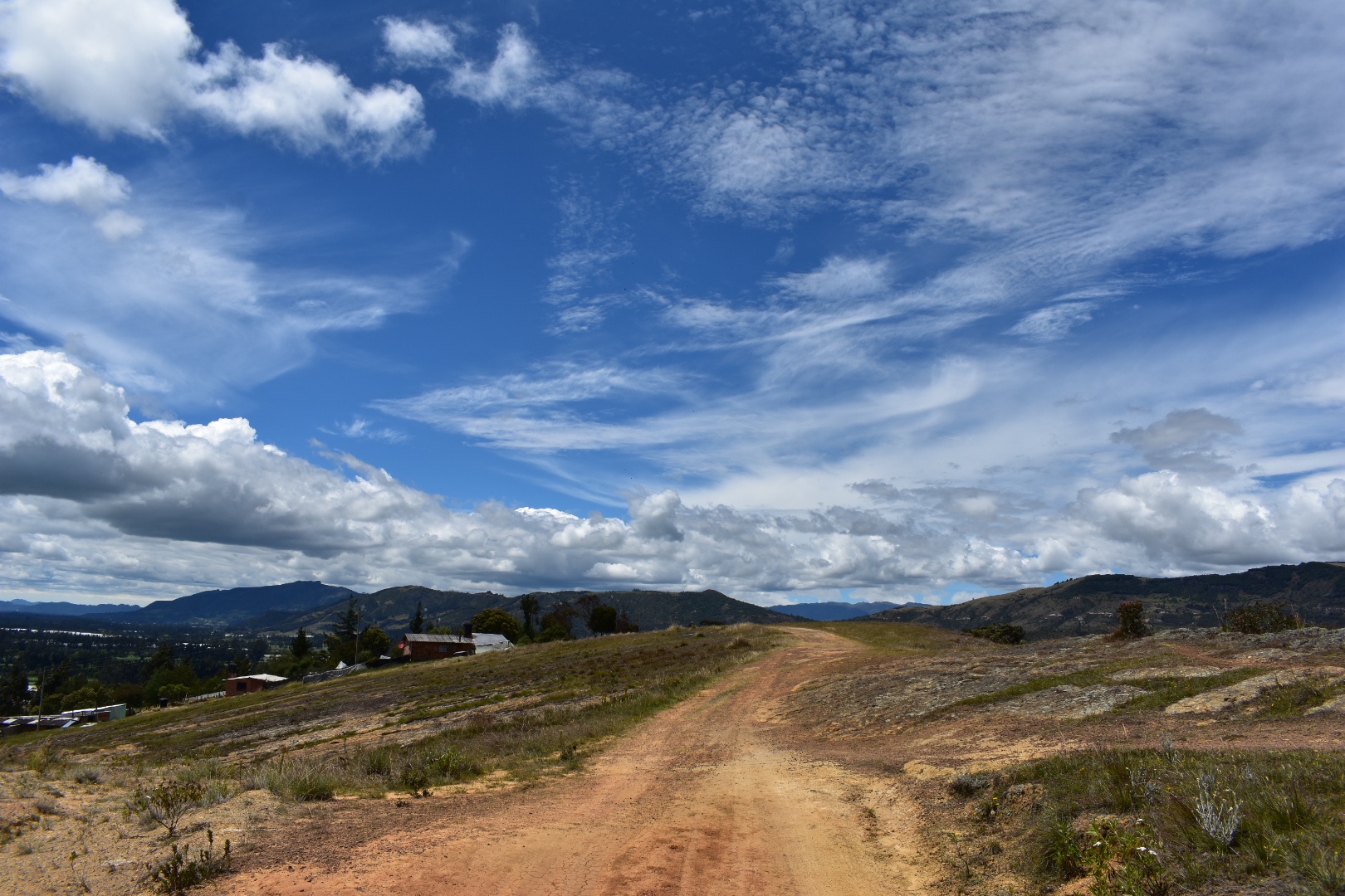

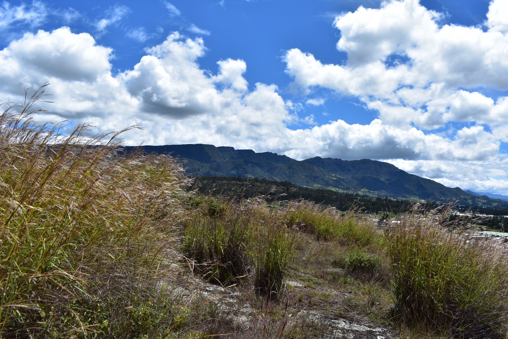
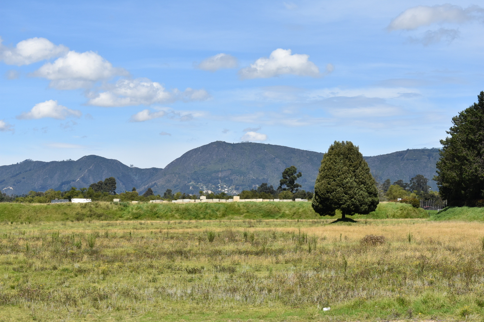
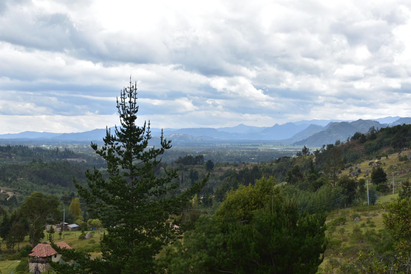
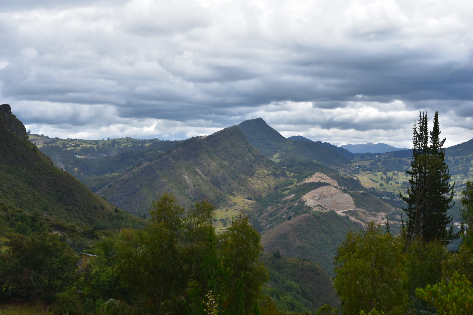
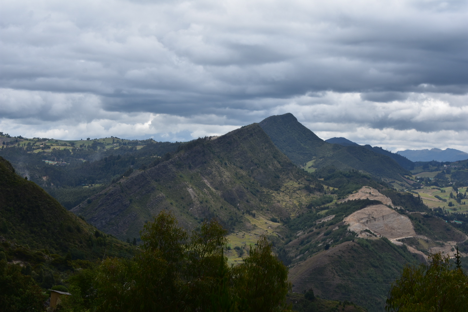
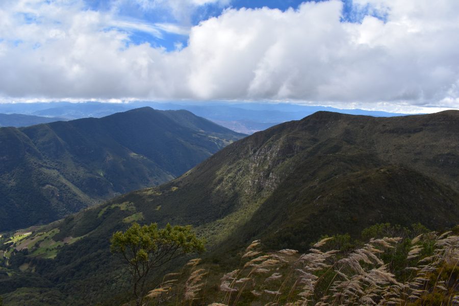
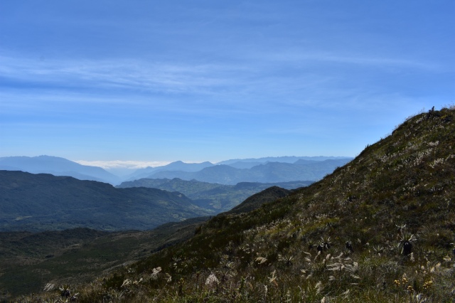
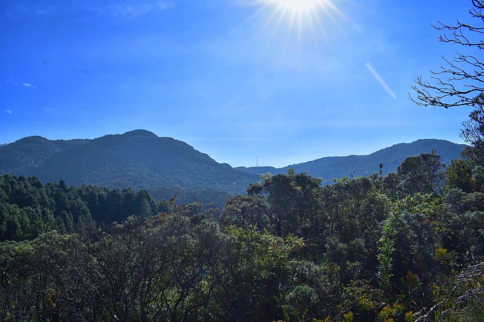
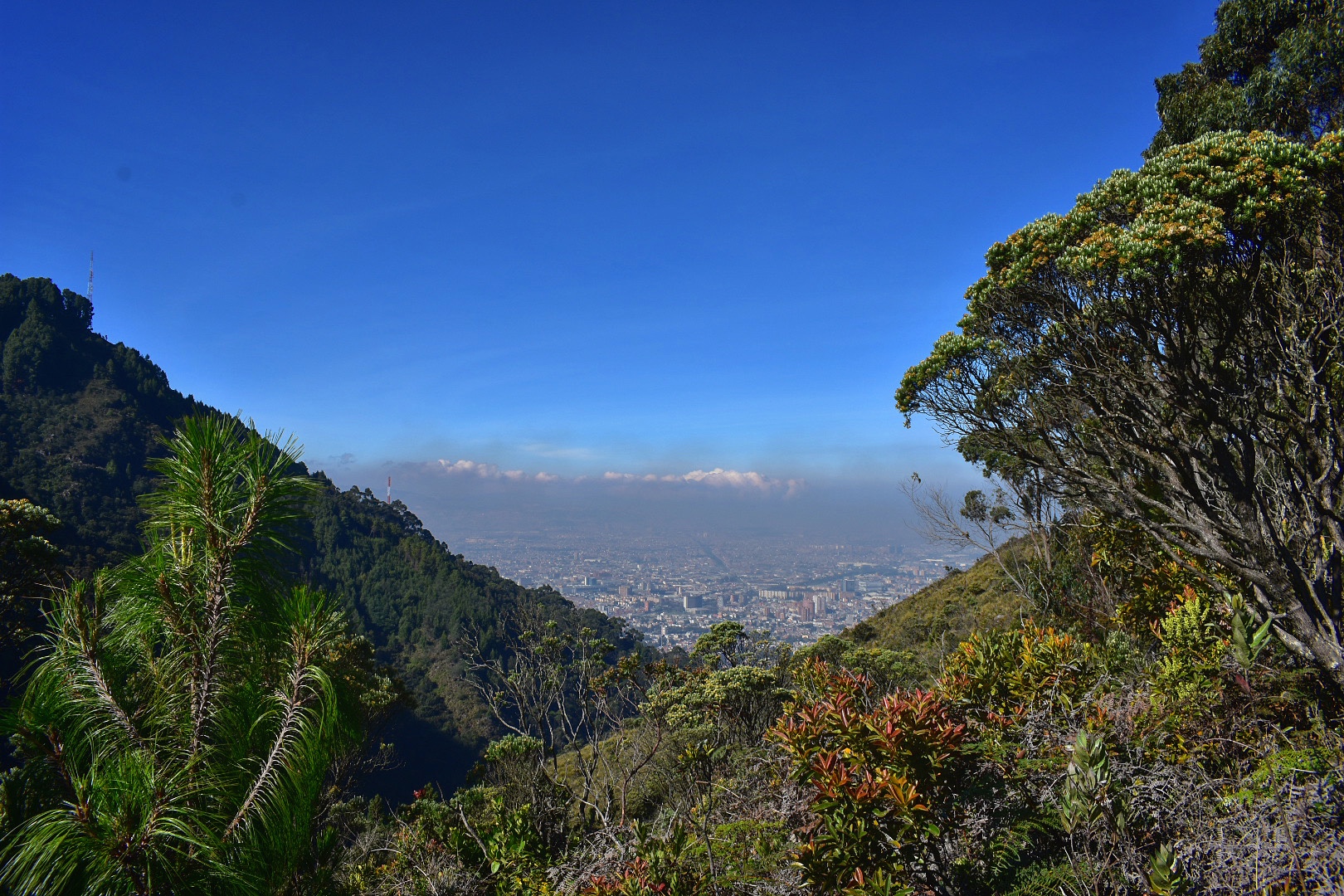
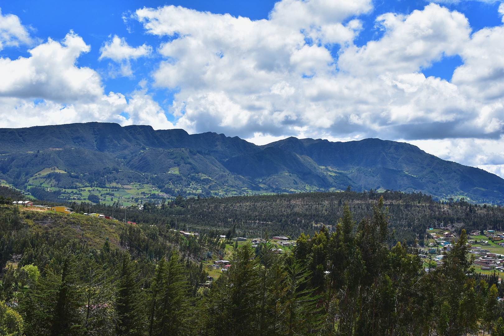
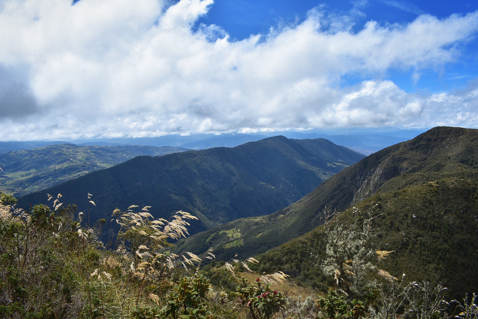
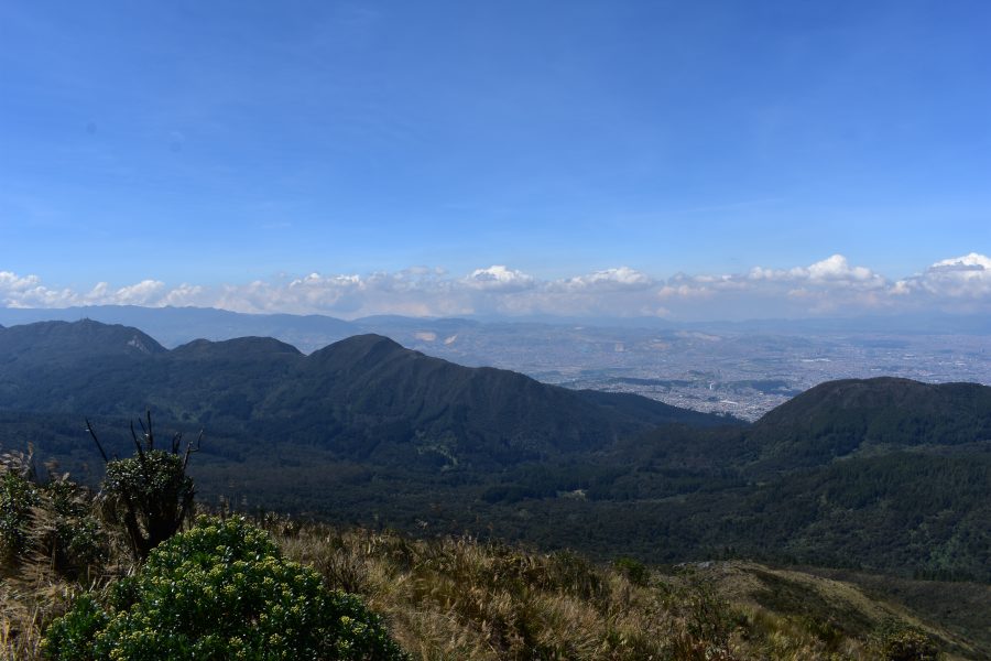
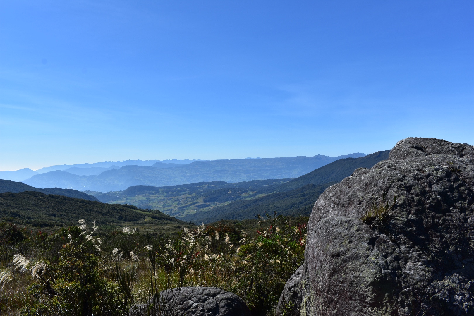
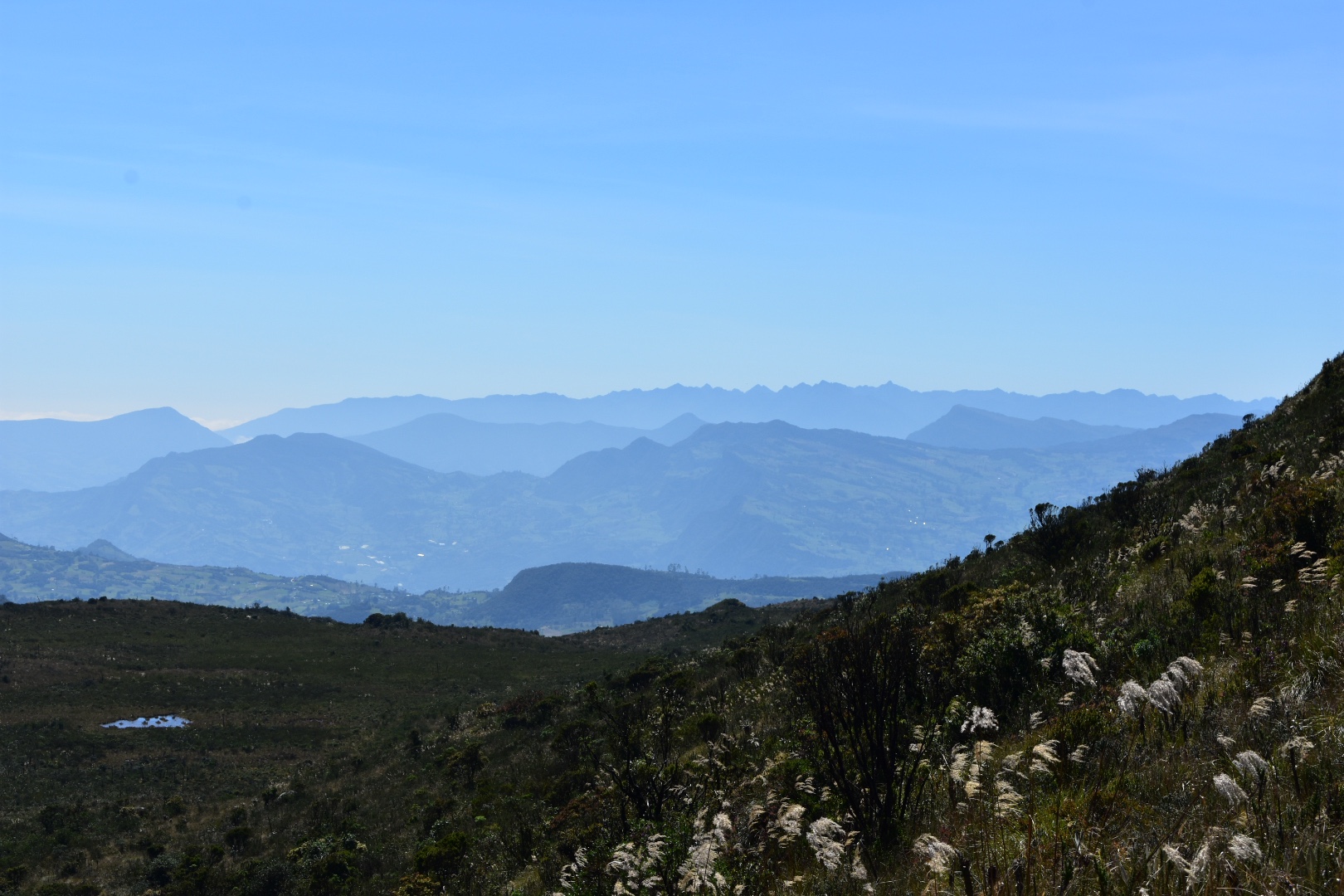
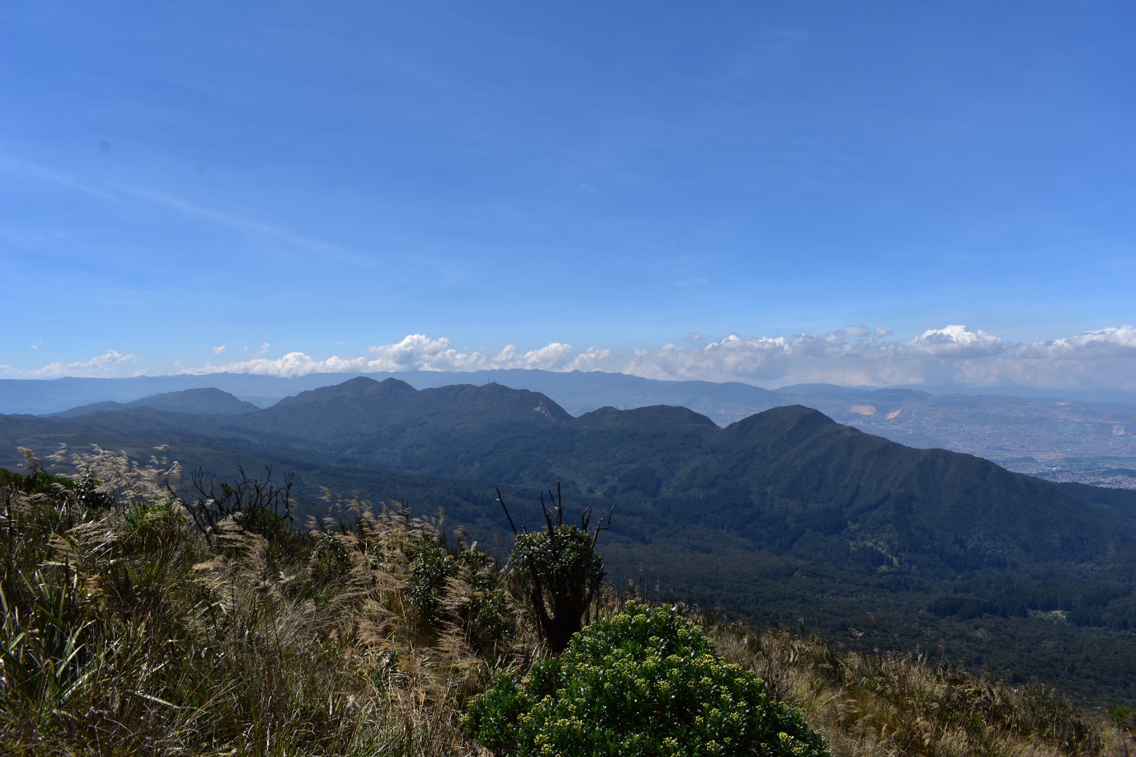
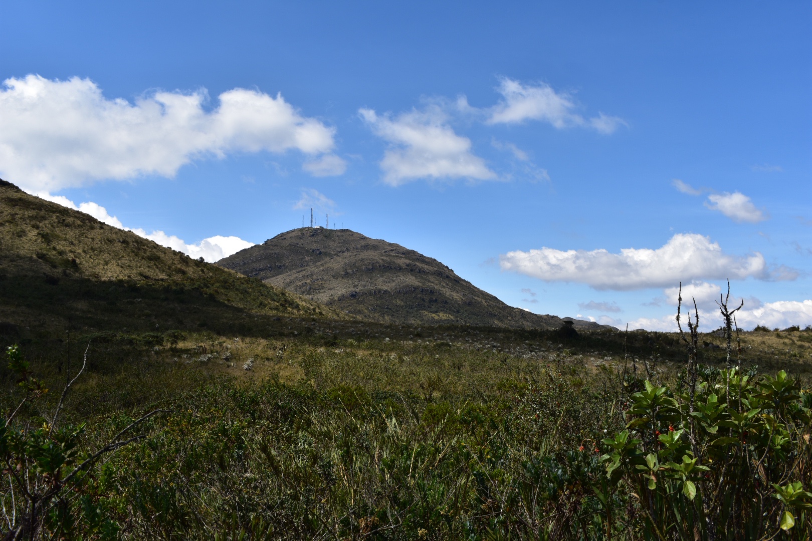
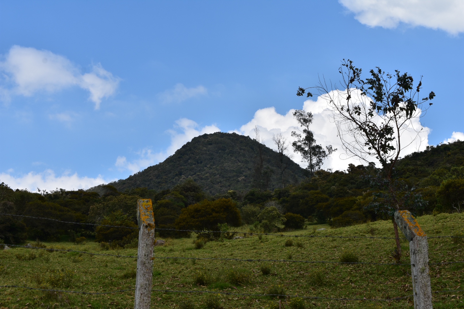
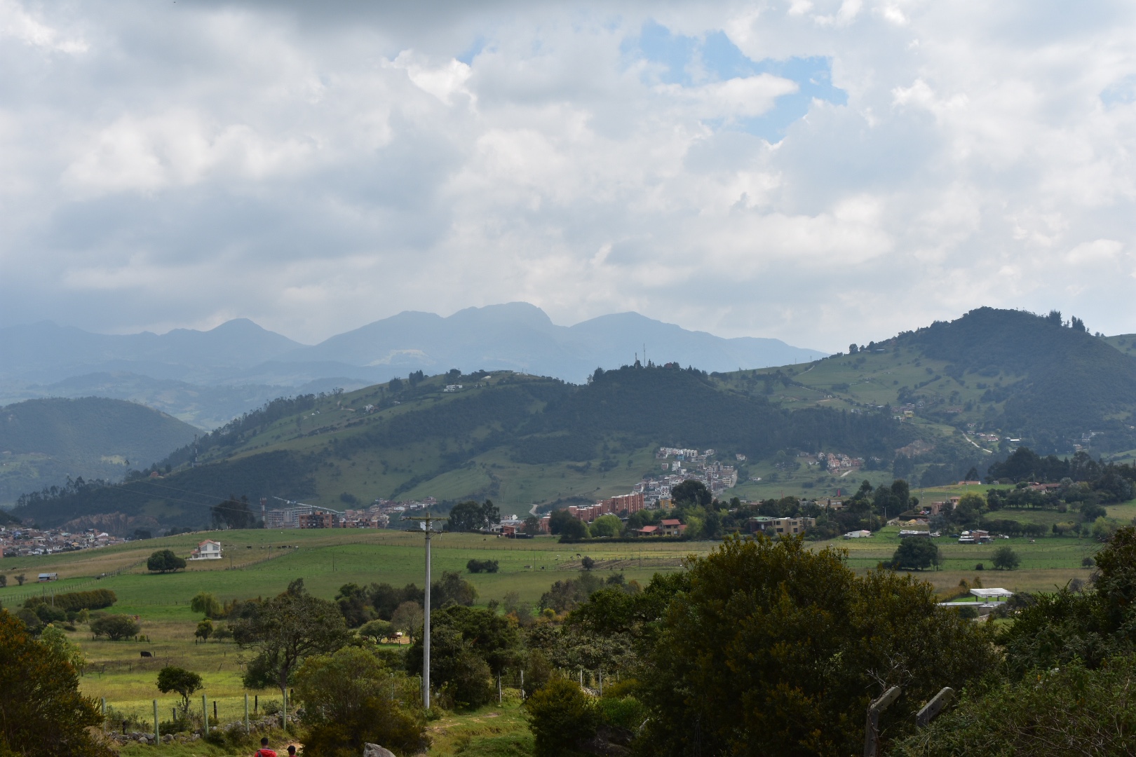
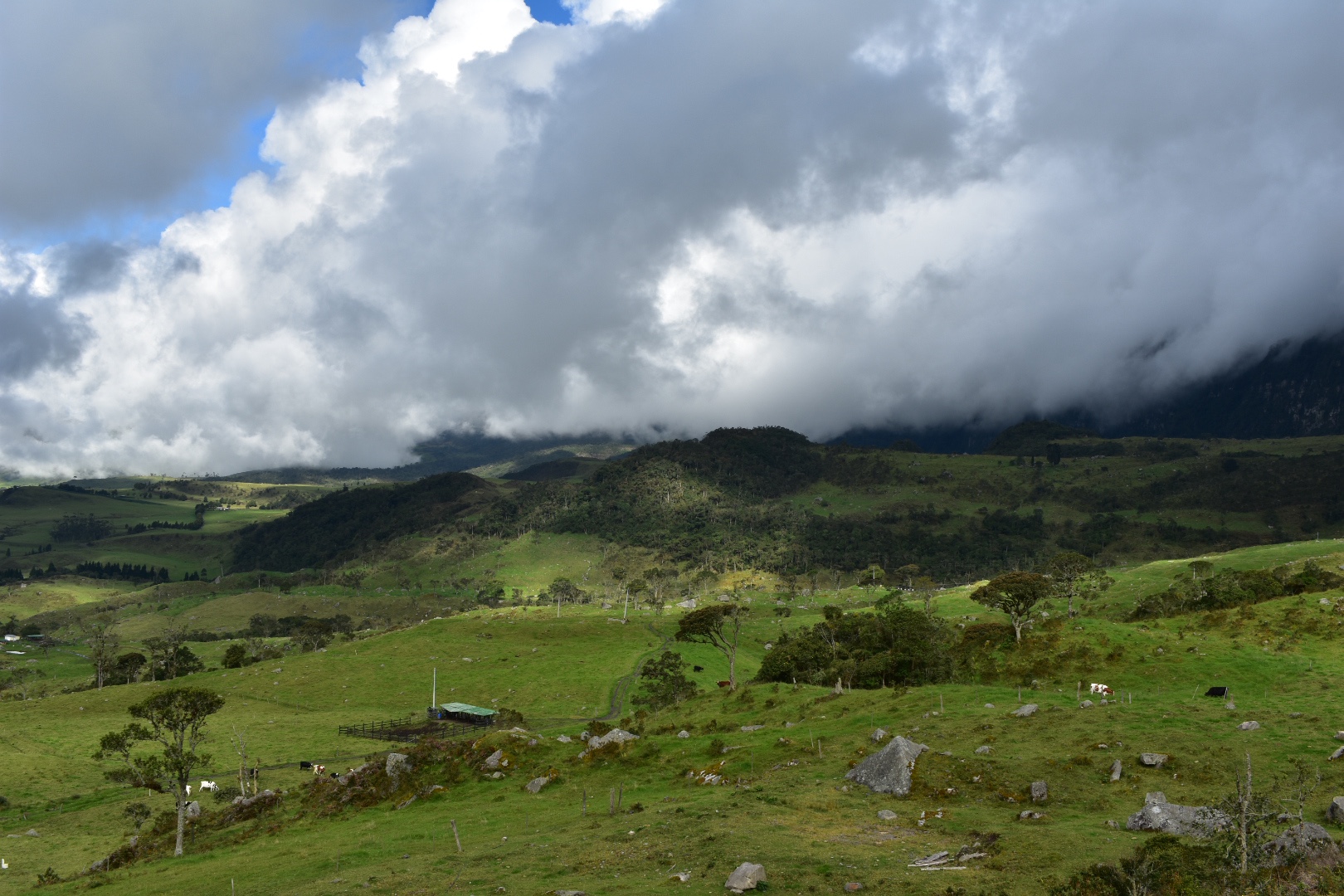
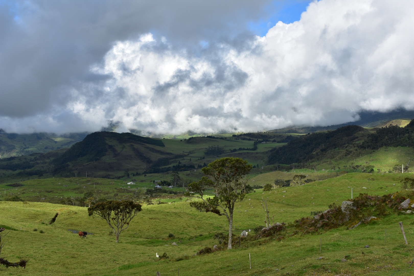
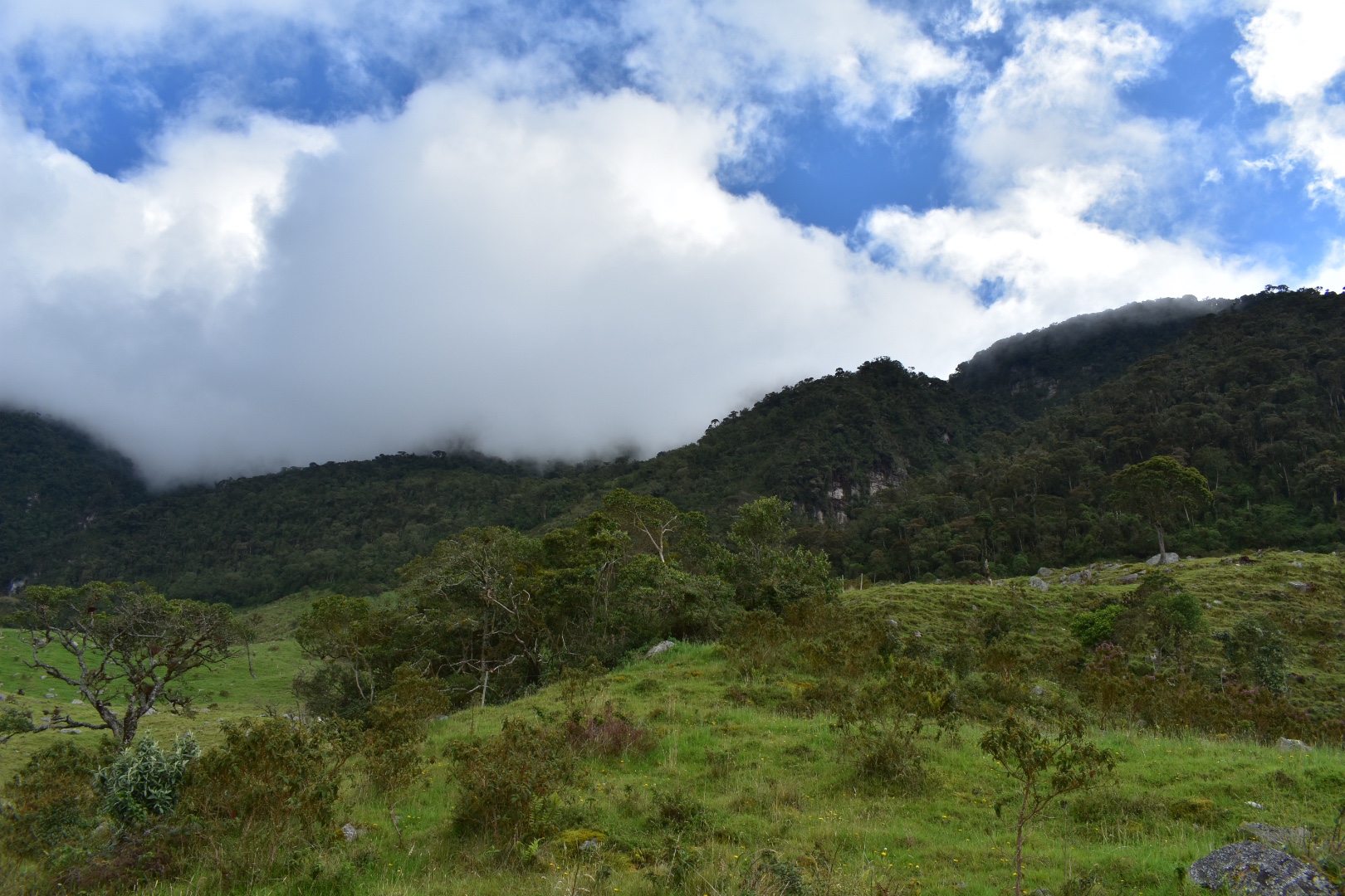
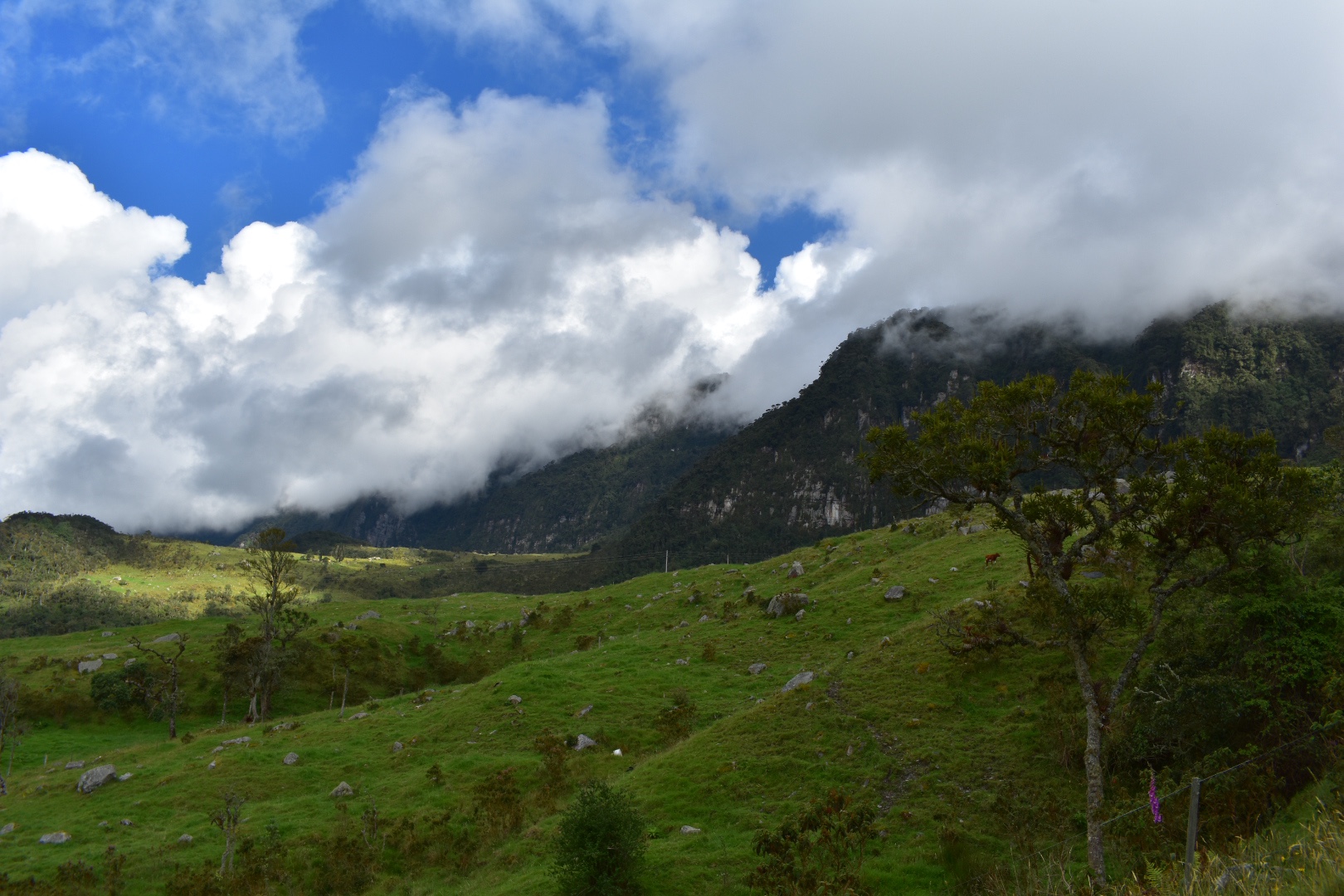
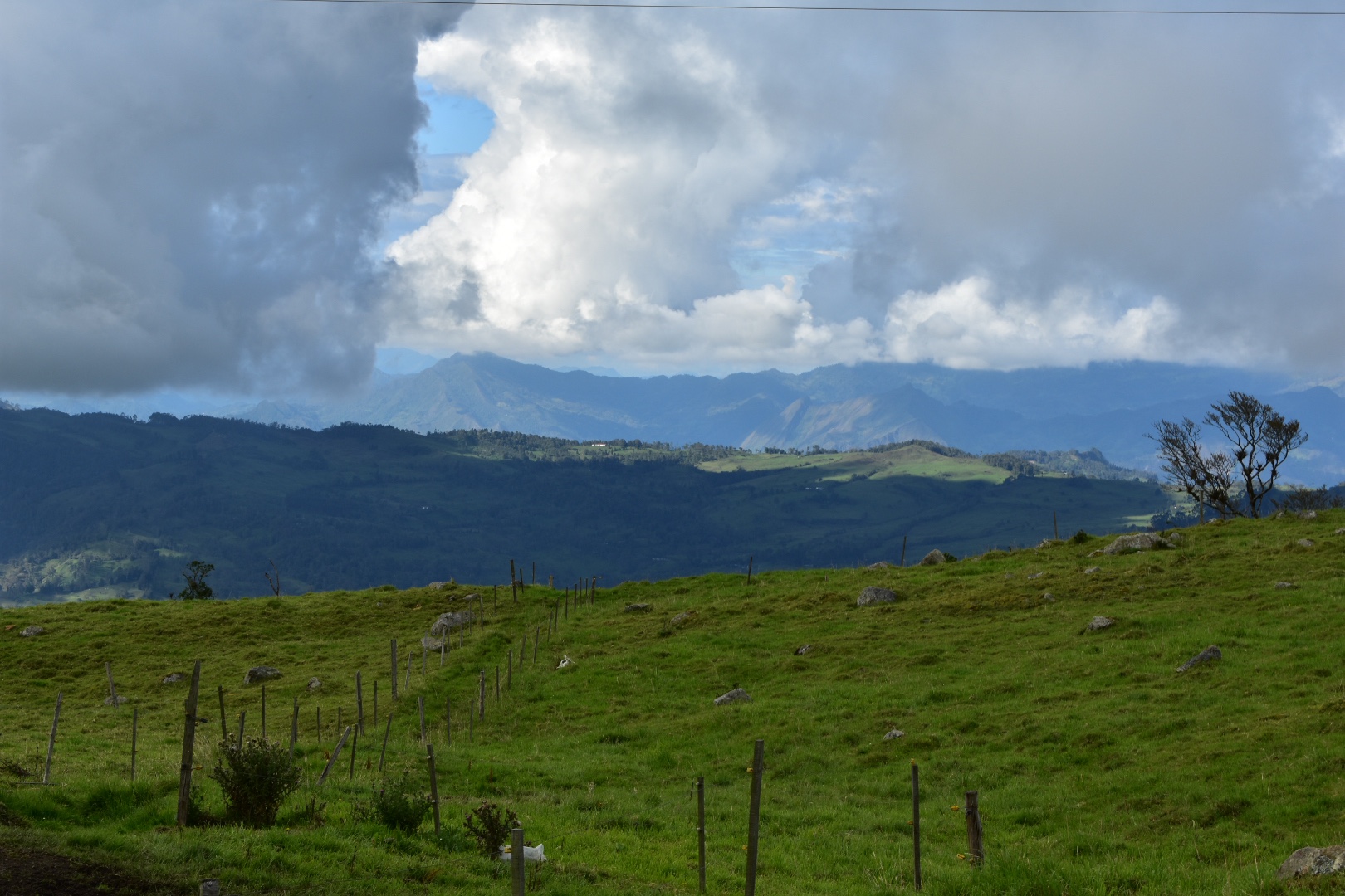
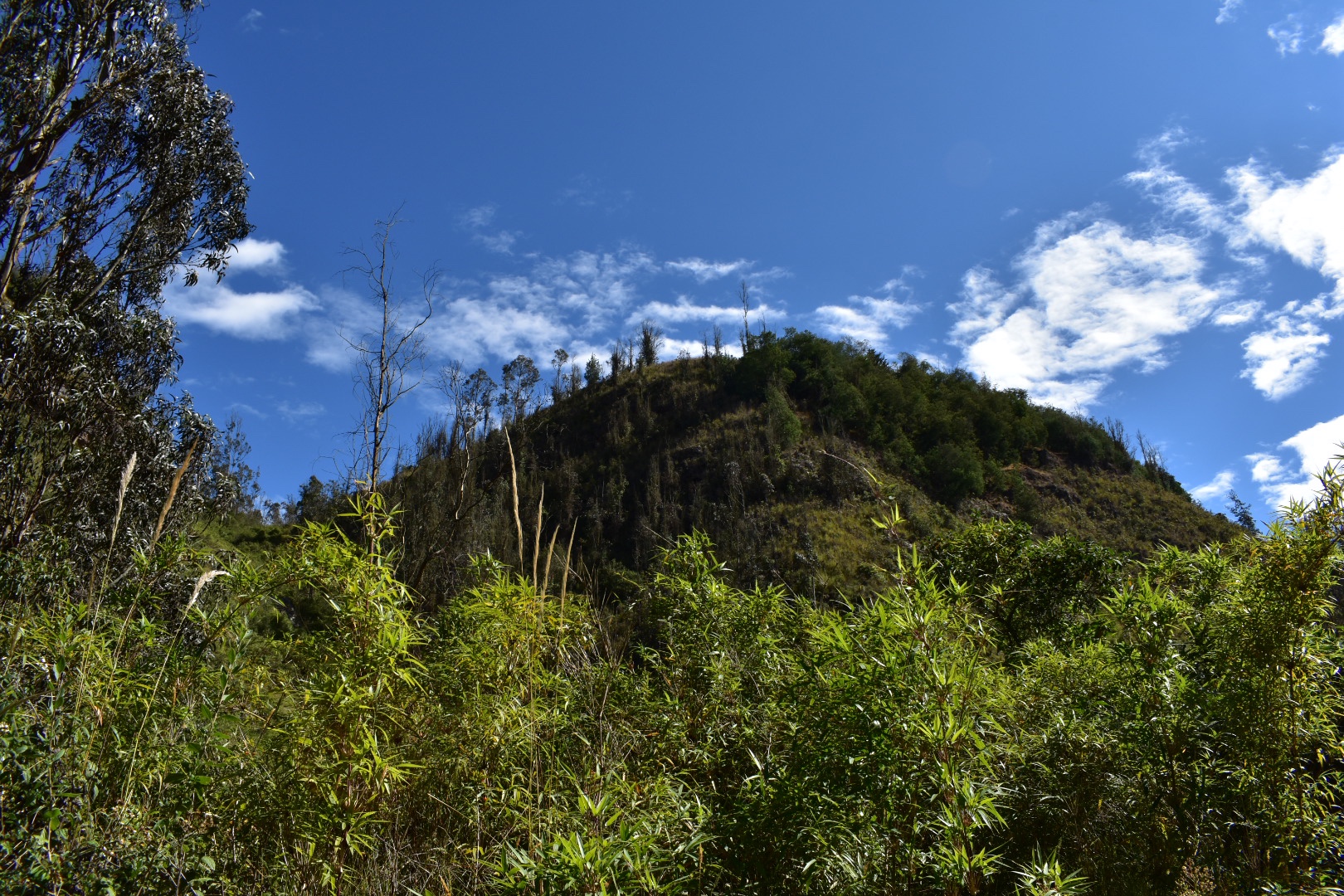
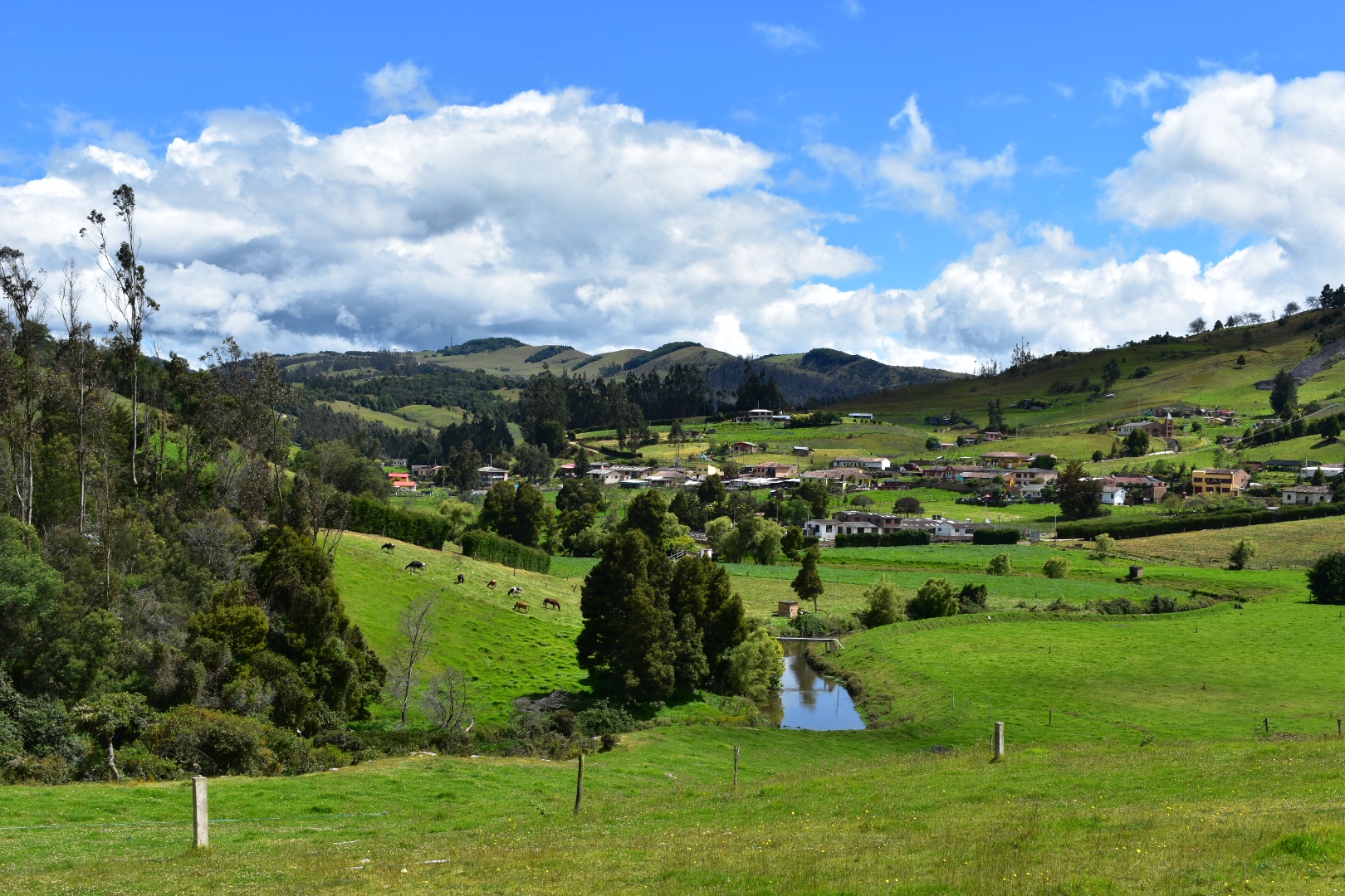
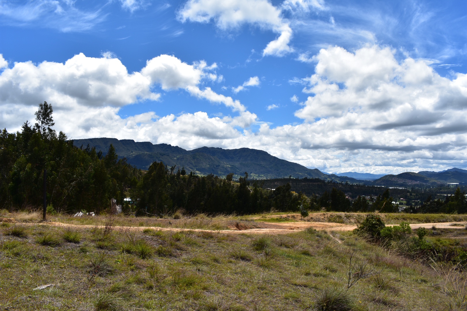
 Then I got to see some of the larger mountains surrounding the wider Bogota area.

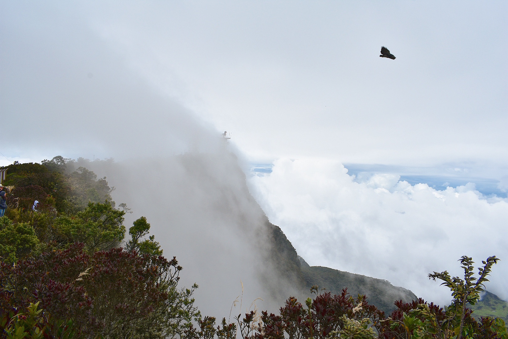
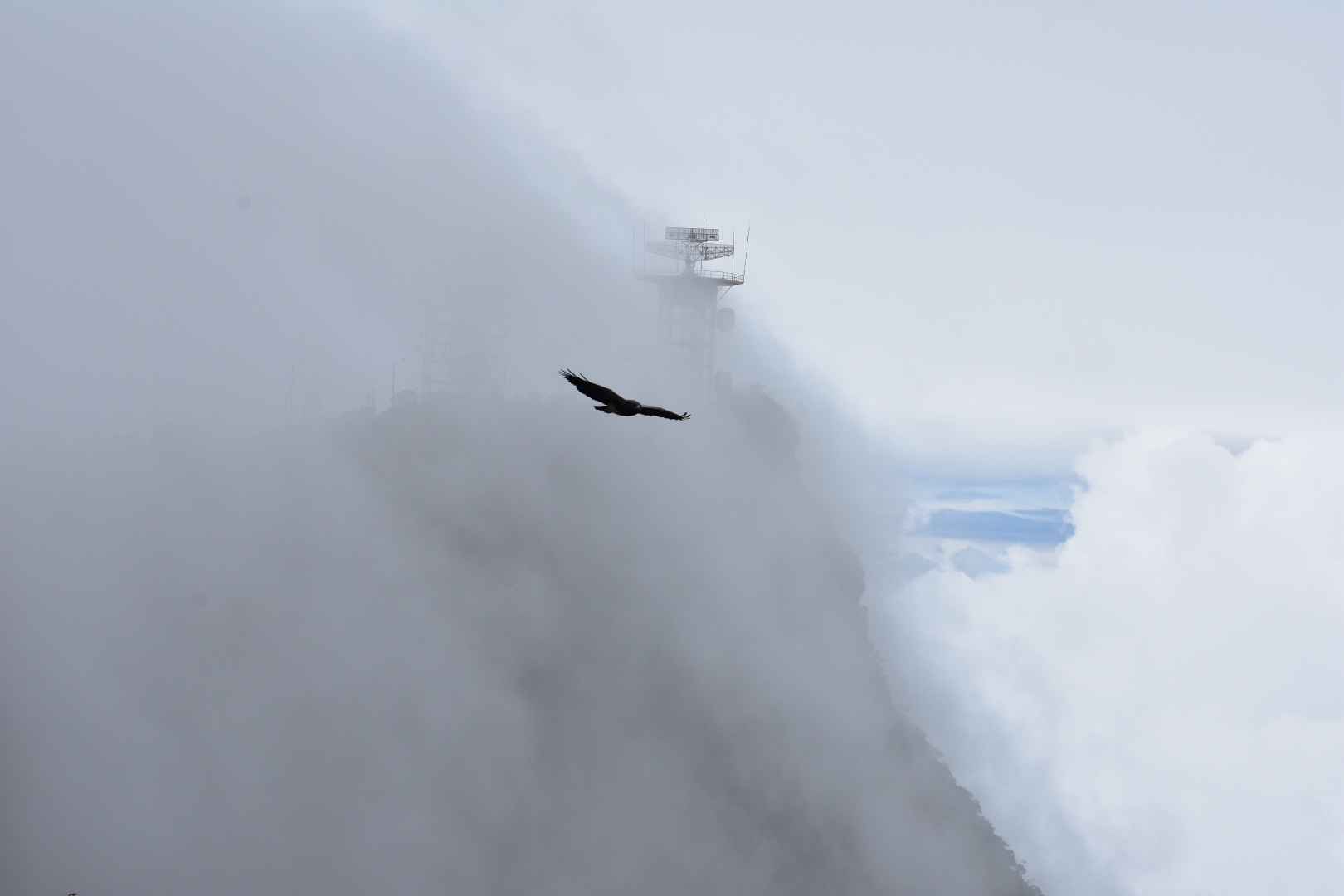
 As you can see the path above turns to rock. As I was busy taking photographs near the end of the hike I disturbed two vultures and was able to quickly switch lenses to photograph them.


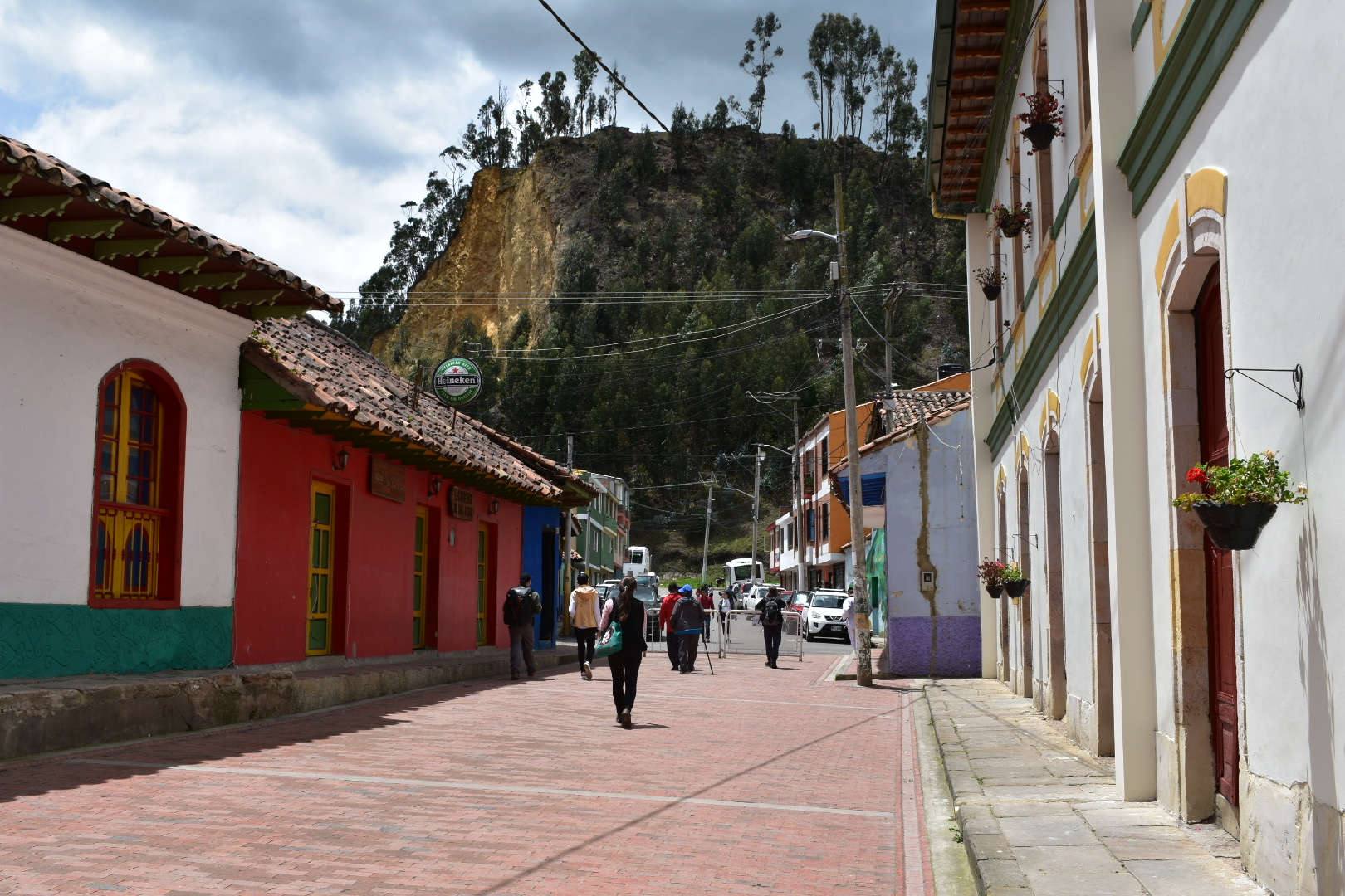
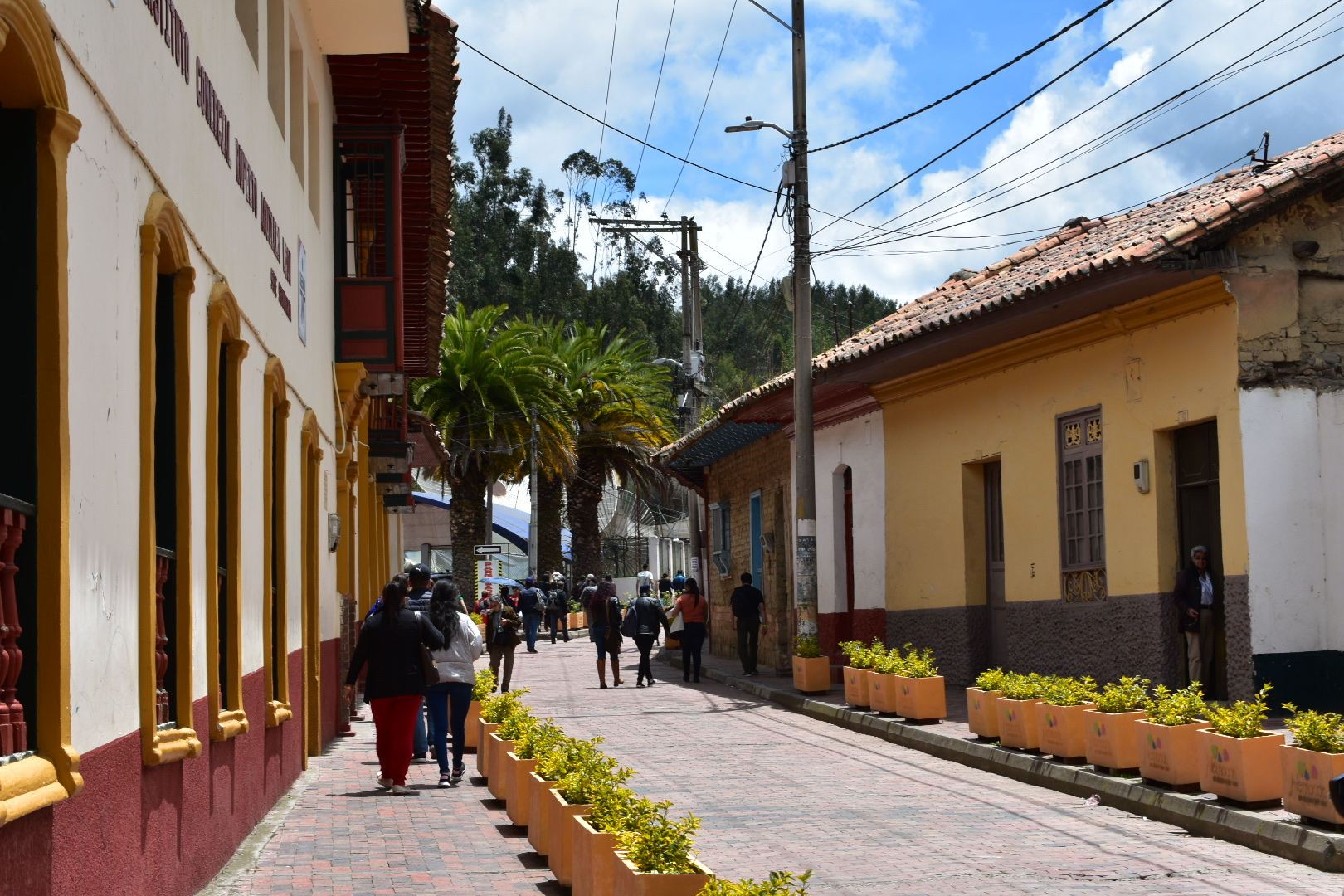
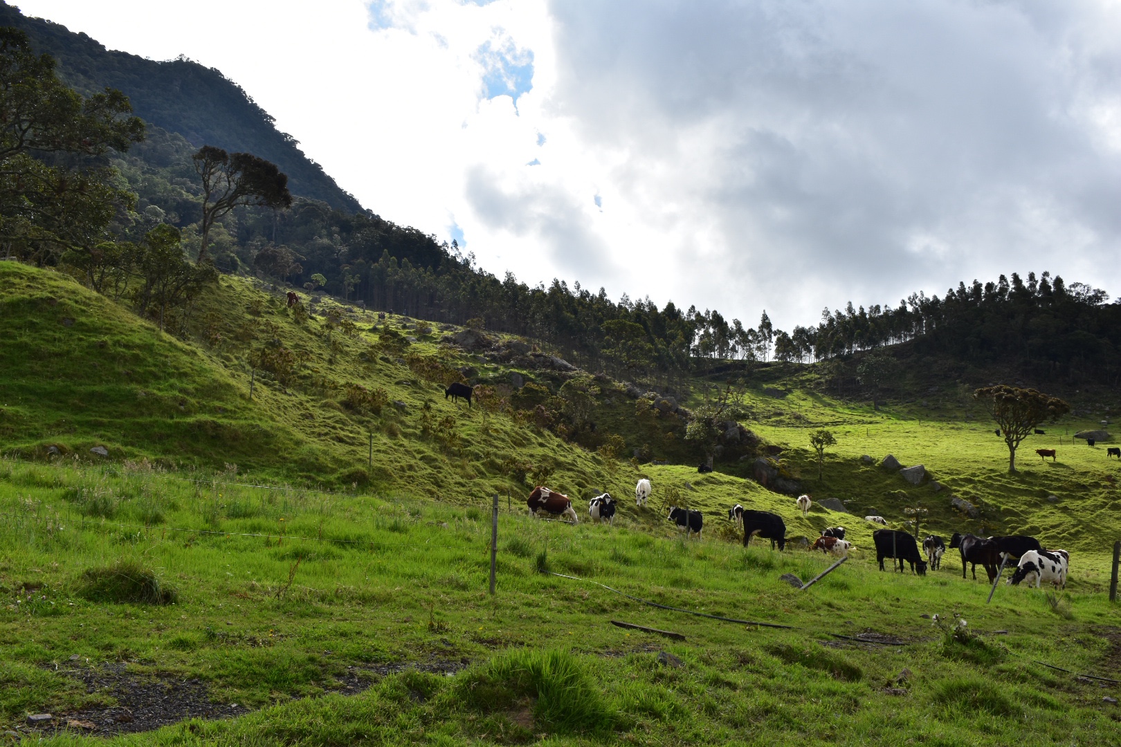
 And then it was time to head back down to the tracks where I had started. This part of the trail is pretty steep but nothing too crazy. There were a lot of local people walking towards me back to their houses. I arrived back into town around midday and decided to treat myself to a Colombiana. You can of course stop here for lunch as it is fairly touristy and there are a lot of restaurants – it all depends on how much you want to push yourself. When you are ready to head back to Bogota, cross the road and flag down a red and black bus. The return journey costs the same. I wasn’t waiting too long for a bus to arrive so they will be fairly frequent. I was back at home by around 1pm which was a record for our trips.