
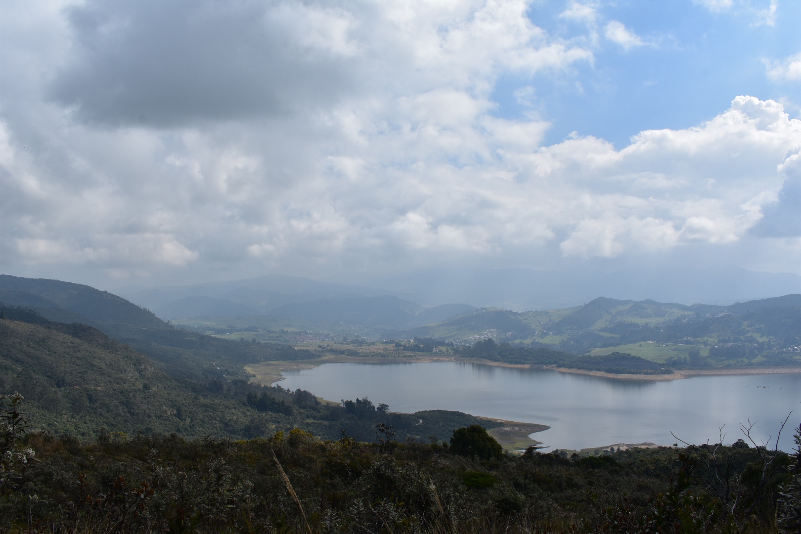
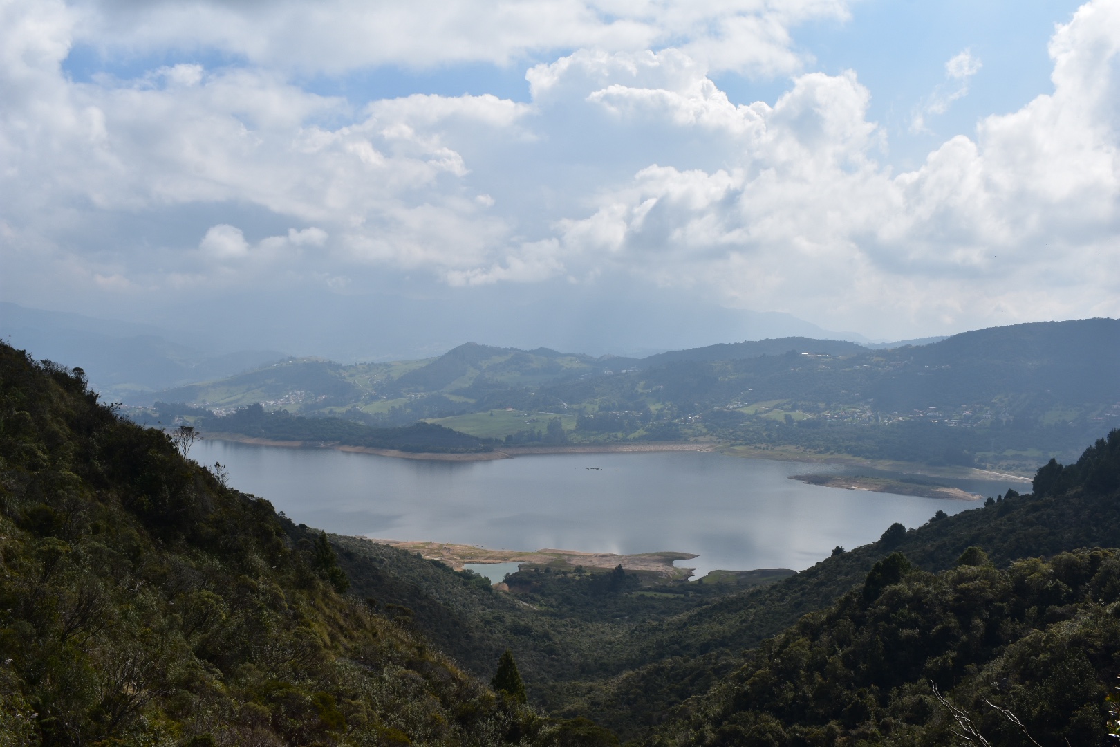
Camino del Indio follows a path that the indigenous peoples of the Bogotá Savannah used to traverse that leads down through the evergreen mountain forests, east of Bogotá, to La Calera. It’s a stunning and short hike that takes you above the Emblase de San Rafael, the reservoir which is the lifeblood of Bogotá, which provides a visually stunning backdrop to this hike through the Andes. The 12km route can easily be completed in around 4 hours and there are a variety of ways to complete the trek as it can act as an extension to the Mirador Aguadora hike that I published recently.
There are many stunning hikes up to the Cerros surrounding Bogota which start in the city itself. Read my post about the 4 different hikes that form part of Quebrada la Vija, including one that takes you up to the closest Palmero direct from Chapinero Or escape the city on a sunny afternoon and take the short walk up to Guadalupe.
Information
- Our Experience
- How to hike Camino del Indio
- Hiking Options, including how to combine with Mirador Aguadora
- Equipment to take
Our Experience
Once again we decided to put ourselves in the hands of Filipe, which I wasn’t sure I would want to do again after the Cuchilla El Tablazo hike. The the week precious our excursion to Chingaza had been cancelled and it was somewhere I had been excited to visit since I arrived. To make up for the disappointment Angela suggested that we take this easy hike instead as we were tired and for a long time I had also wanted to explore what was behind the mountains I see everyday from my windows so it felt like a good opportunity.
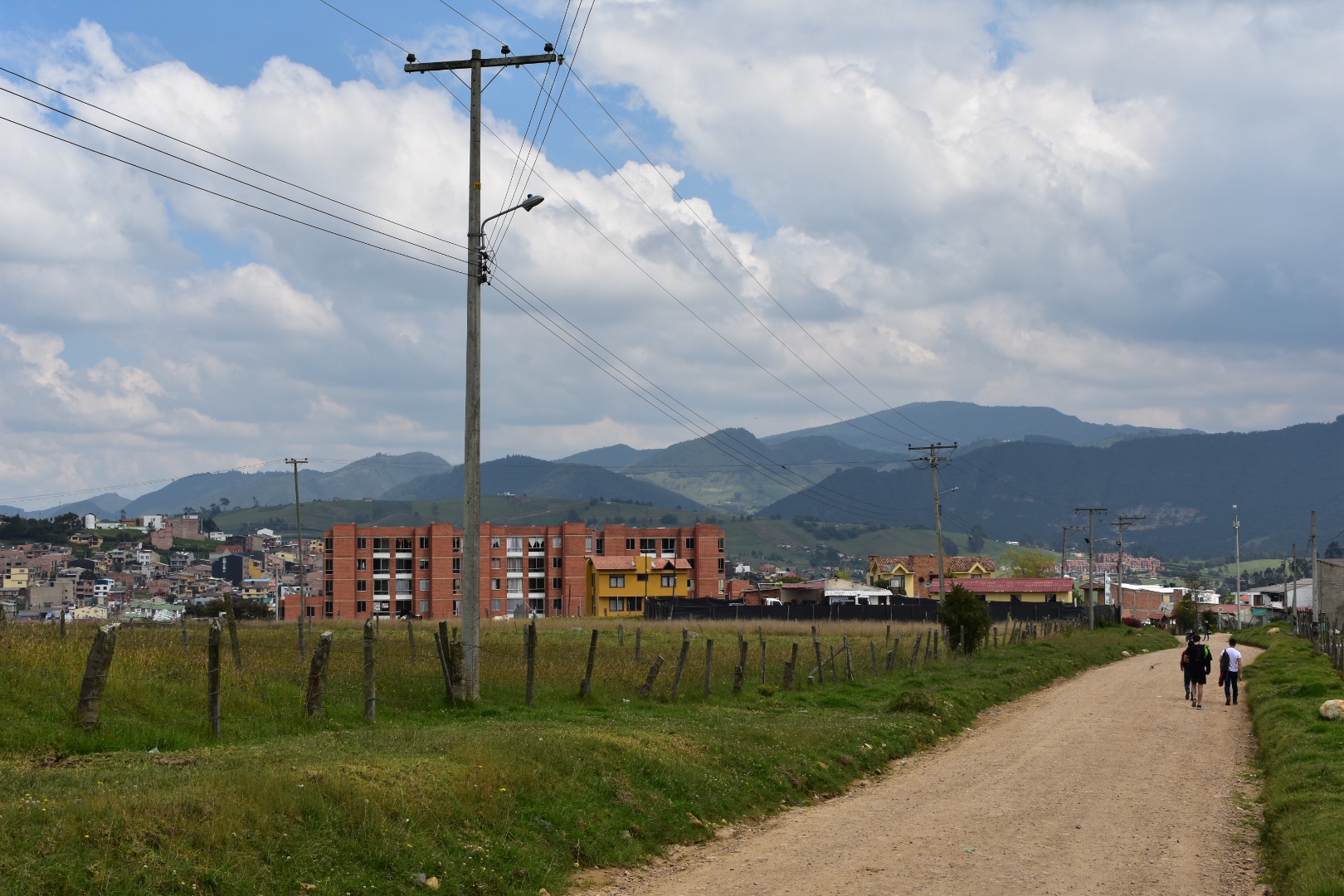
We were again instructed to meet at 7am but this time at Calle 85 y Carrera 7, which is pretty close to us. We ordered an Uber at 6:45 and arrived at the petrol station to see a much smaller and very different group. I was pleased to see there were no small dogs and that only a couple of the better hikers were on board for this excursion. In total we were 12, which was a much better size and more manageable in terms of walking.
After some brief introductions and a quick coffee stop for myself and Angela we headed off, to the bus stop which is pretty much opposite. You will see a road, almost like a slip road, leading up to Carrera 5, and we headed over there to wait for the bus to La Calera, your final stop if you are hiking the hard way. Tell the bus driver that you want to be dropped at Porteria Arboreto, which on Maps.me is close to a bar called Compostela and and hostel called Pachamama. The road you want to find on the maps.me is called Camino del Meta. You pay when you get of the bus and it should cost $3500 per person. And if this starting point is tricky to find then I’d recommend that you combine with the Mirador Aguadora hike as I detail below.
After about 15 minutes we had reached our destination. We crossed the road and Filipe worked his magic on the security guards. So this part of the hike, which is only necessary to walk if you do not combine with Mirador Aguadora, is on a private estate. They have to let you in if you are going to the Mirador Aguadora. So tell them you are going to see the mirador and not completing the hike. They won’t ask any questions and you will be let in. From here you will need to walk a few kilometres up the road to the mirador. Its a gentle incline and if you are walking this way the only part of the hike which is uphill.
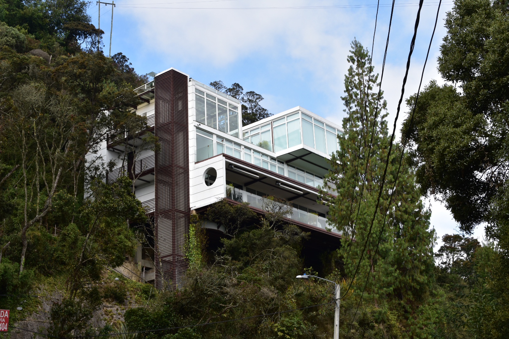
I’m not sure this is so much a part of an estate as a millionaires playground. We must have been walking for about 30 minutes before the houses came into view, with their unobstructed view over the lake.
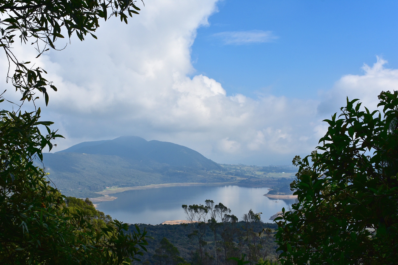
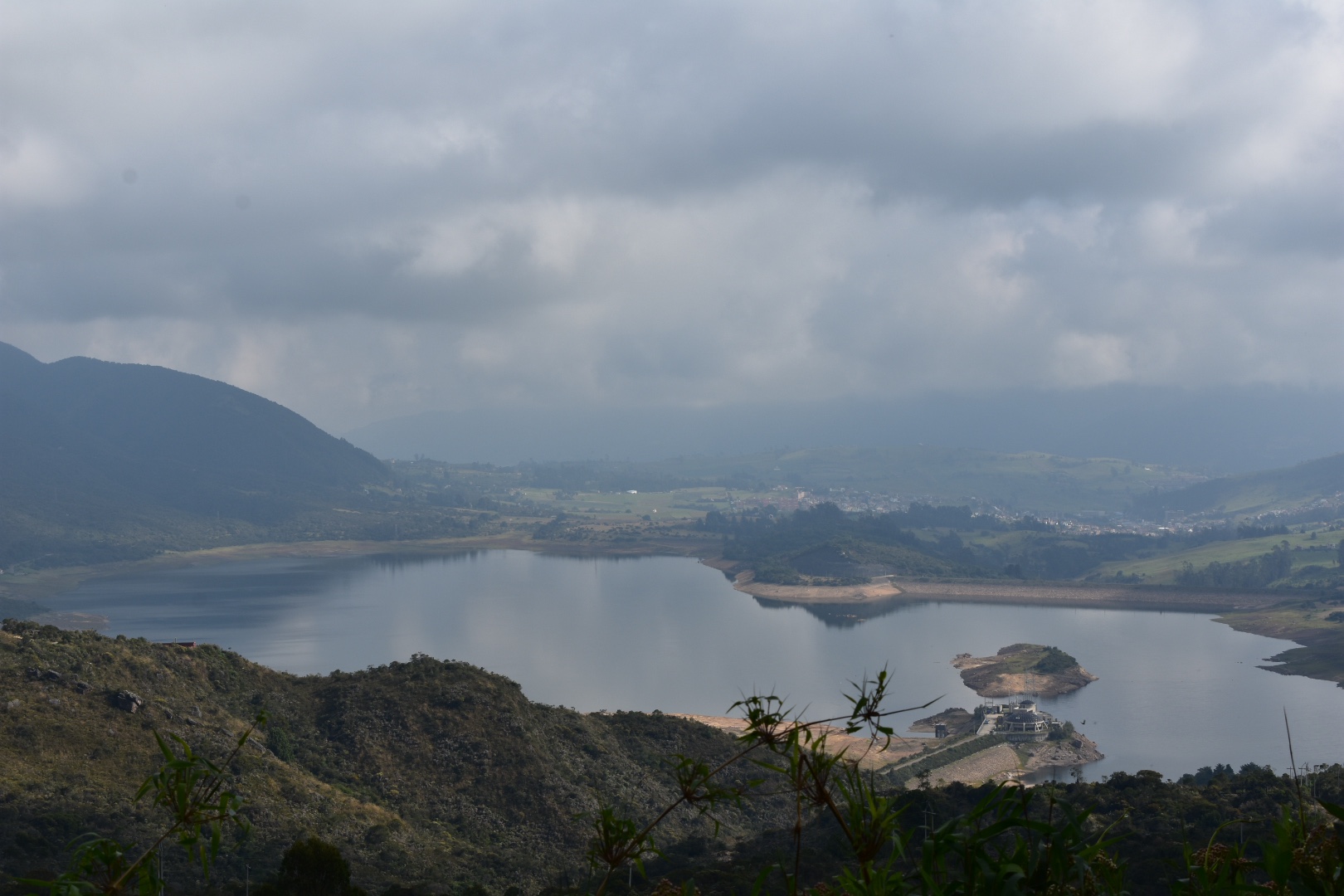
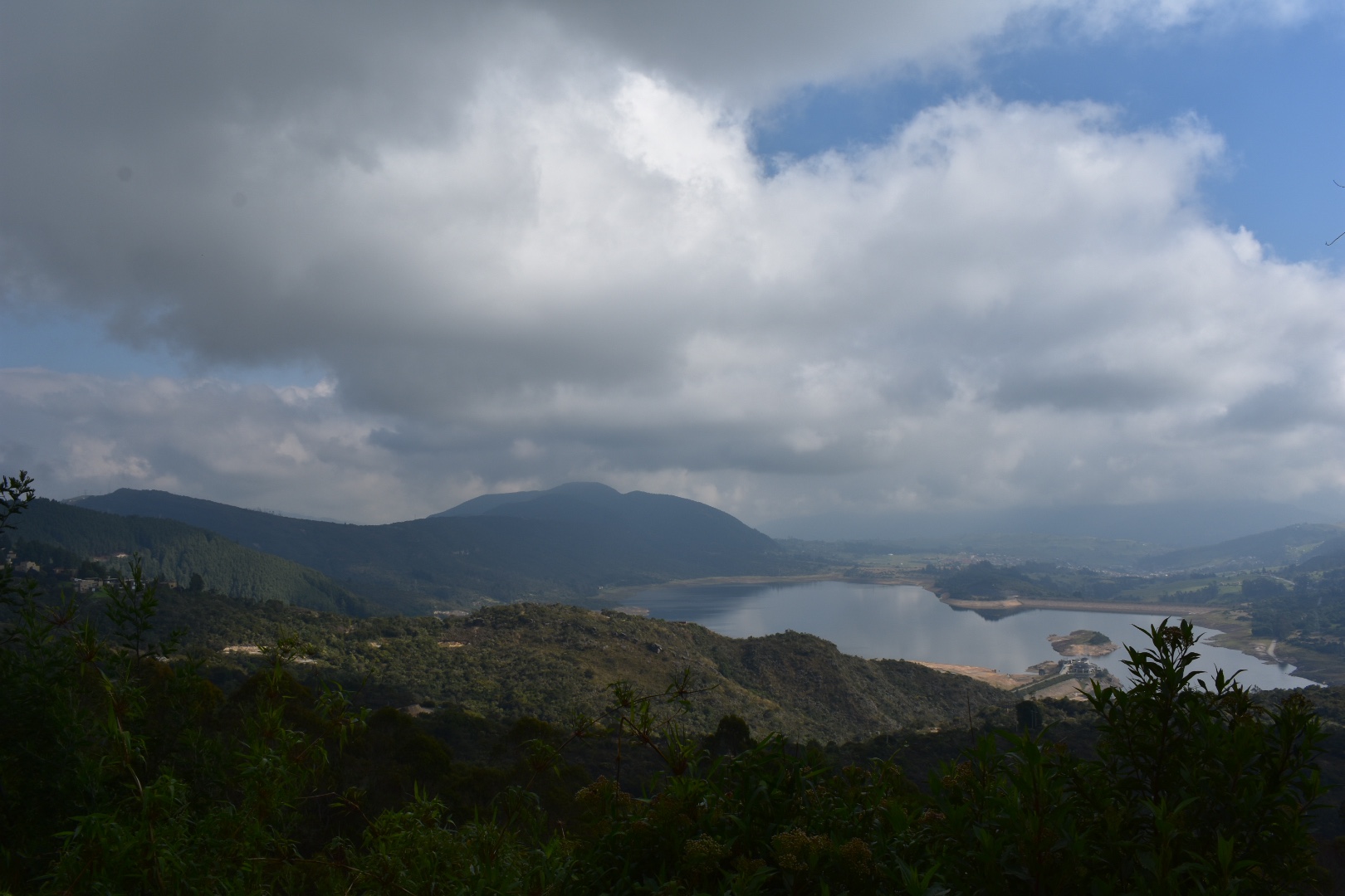
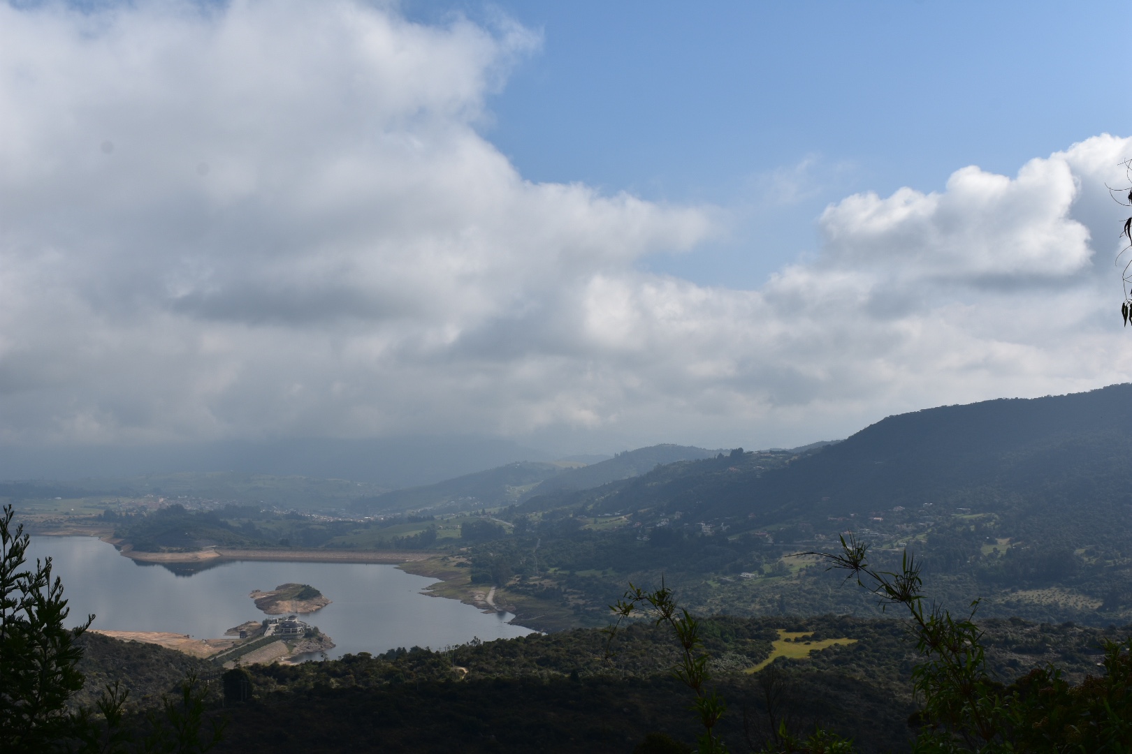
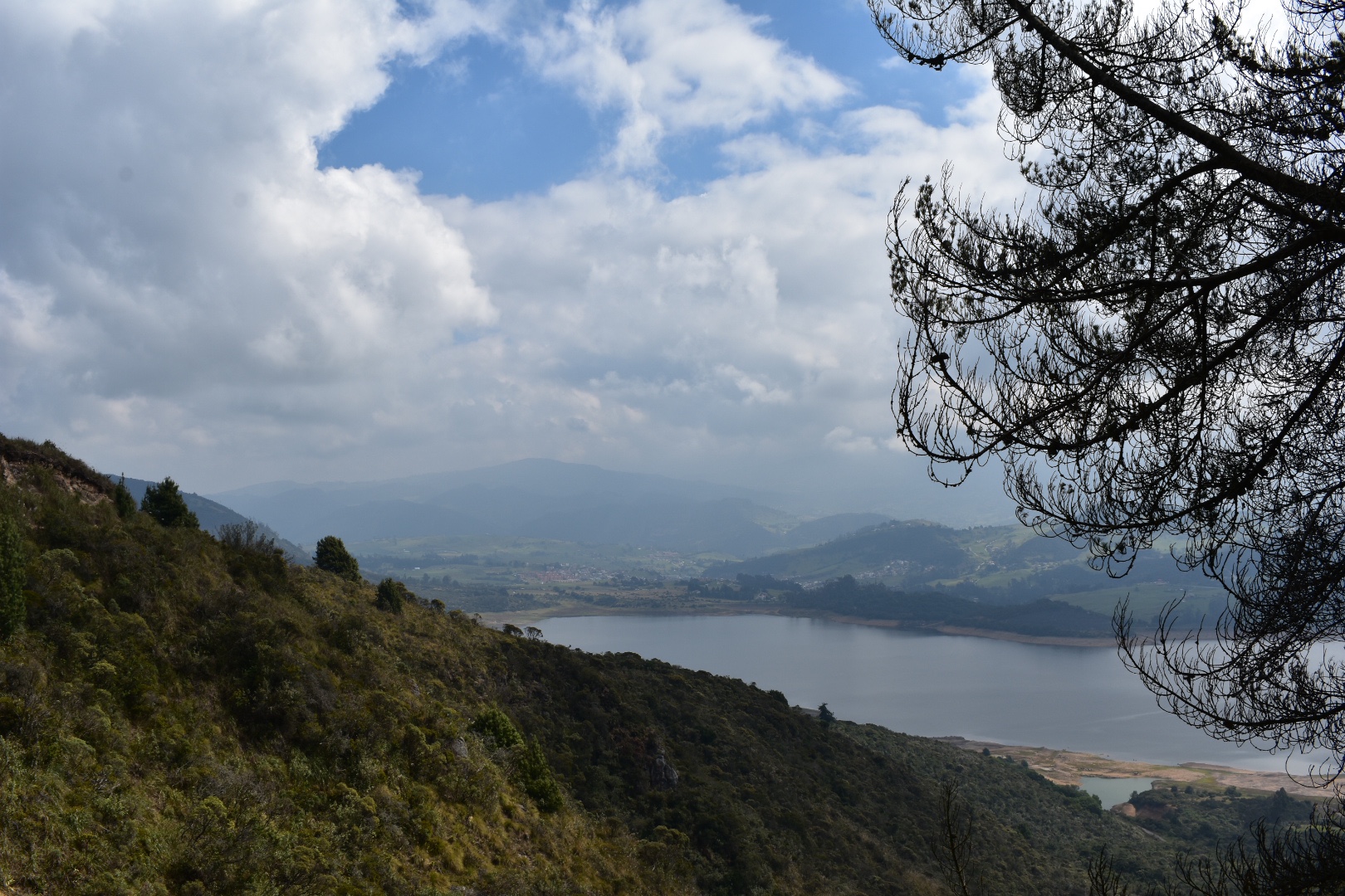
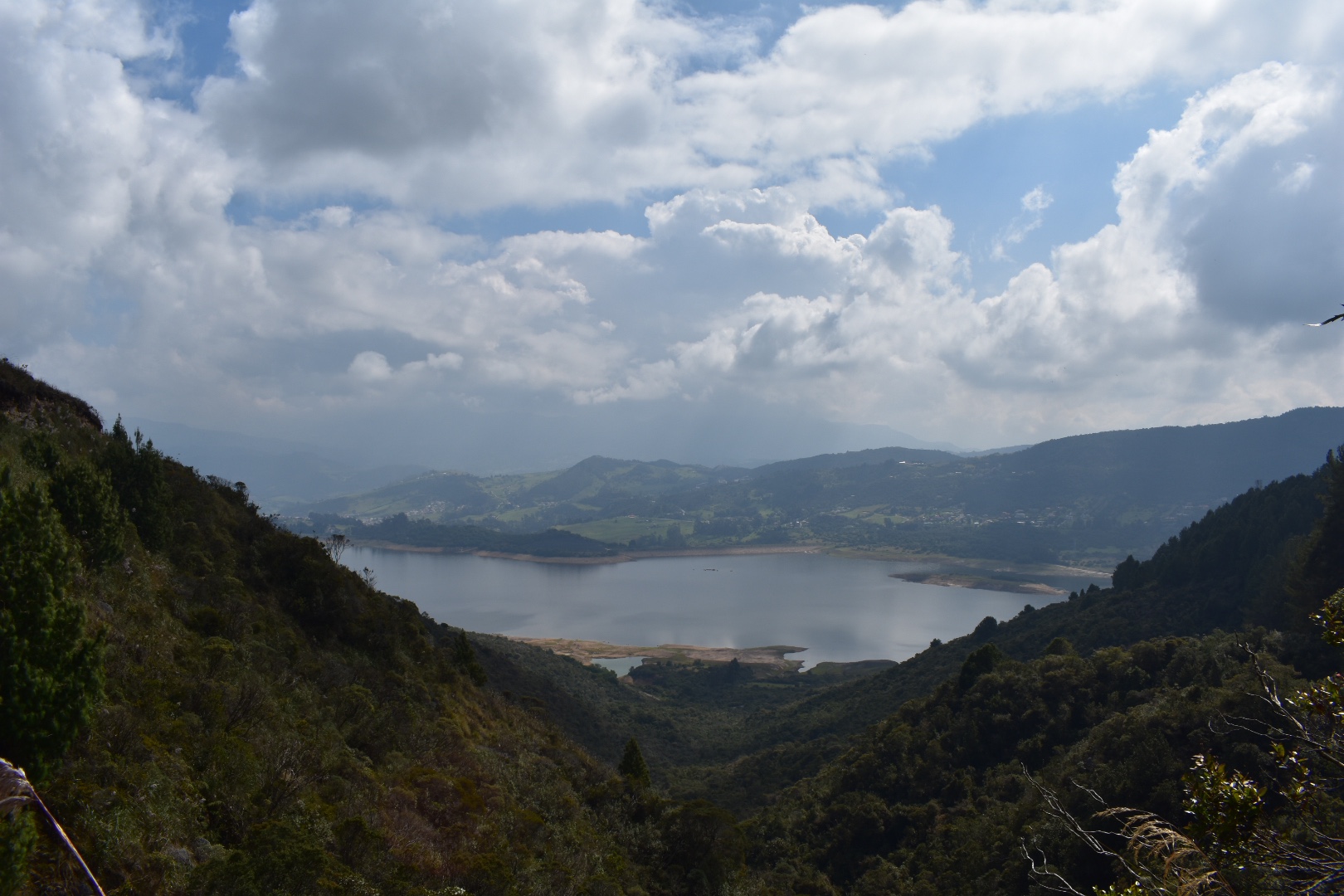
It was a little cloudy, but better than the rain the day before and pockets of blue were fighting their way through the clouds as we arrived at the lake.
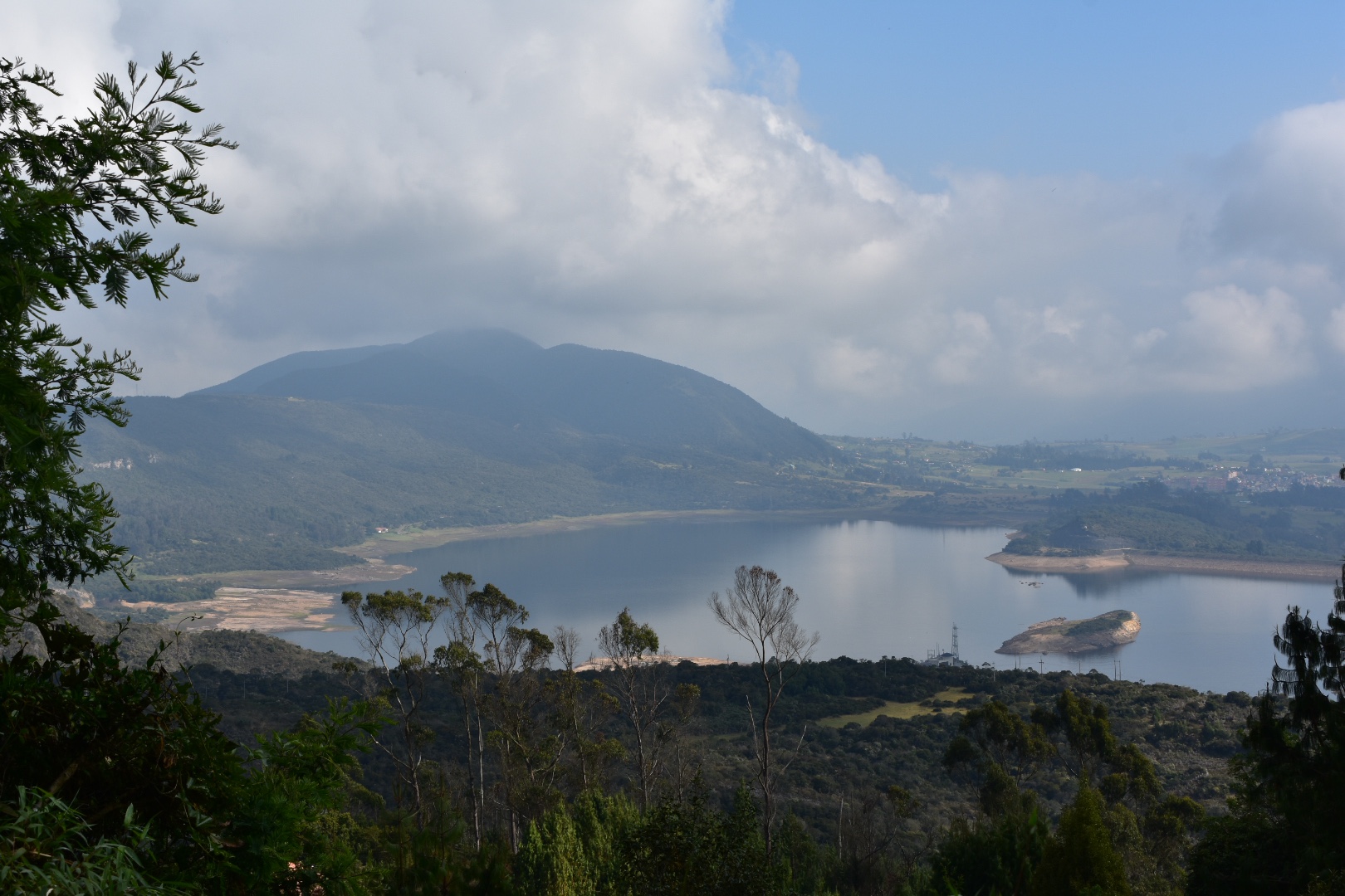
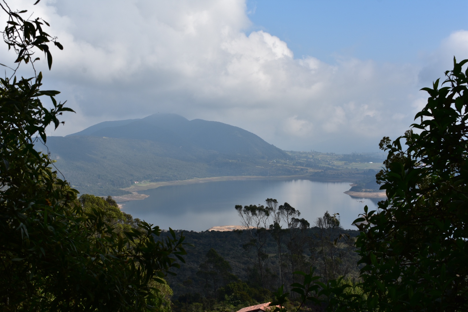
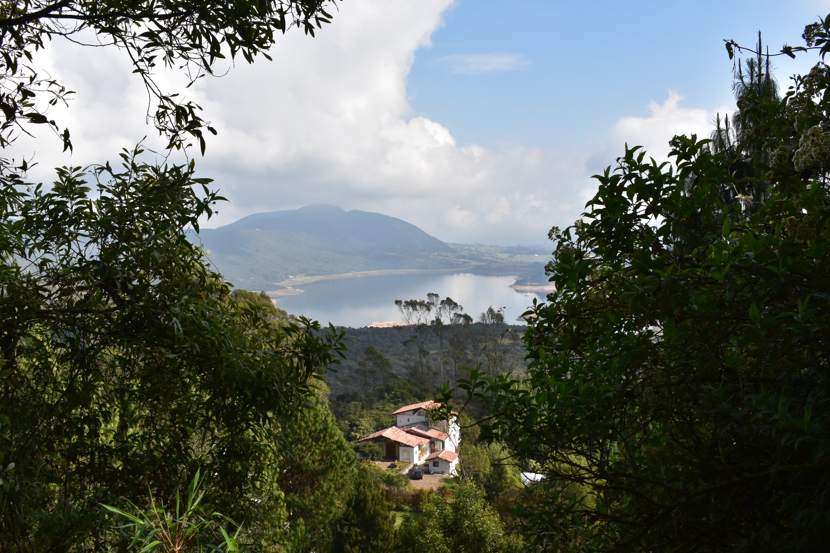
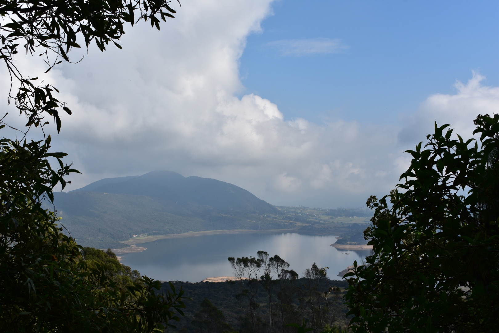
The road continued for a little longer and then we found the first mirador which gave unobstructed views of the lake.
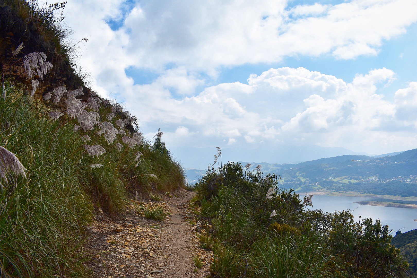
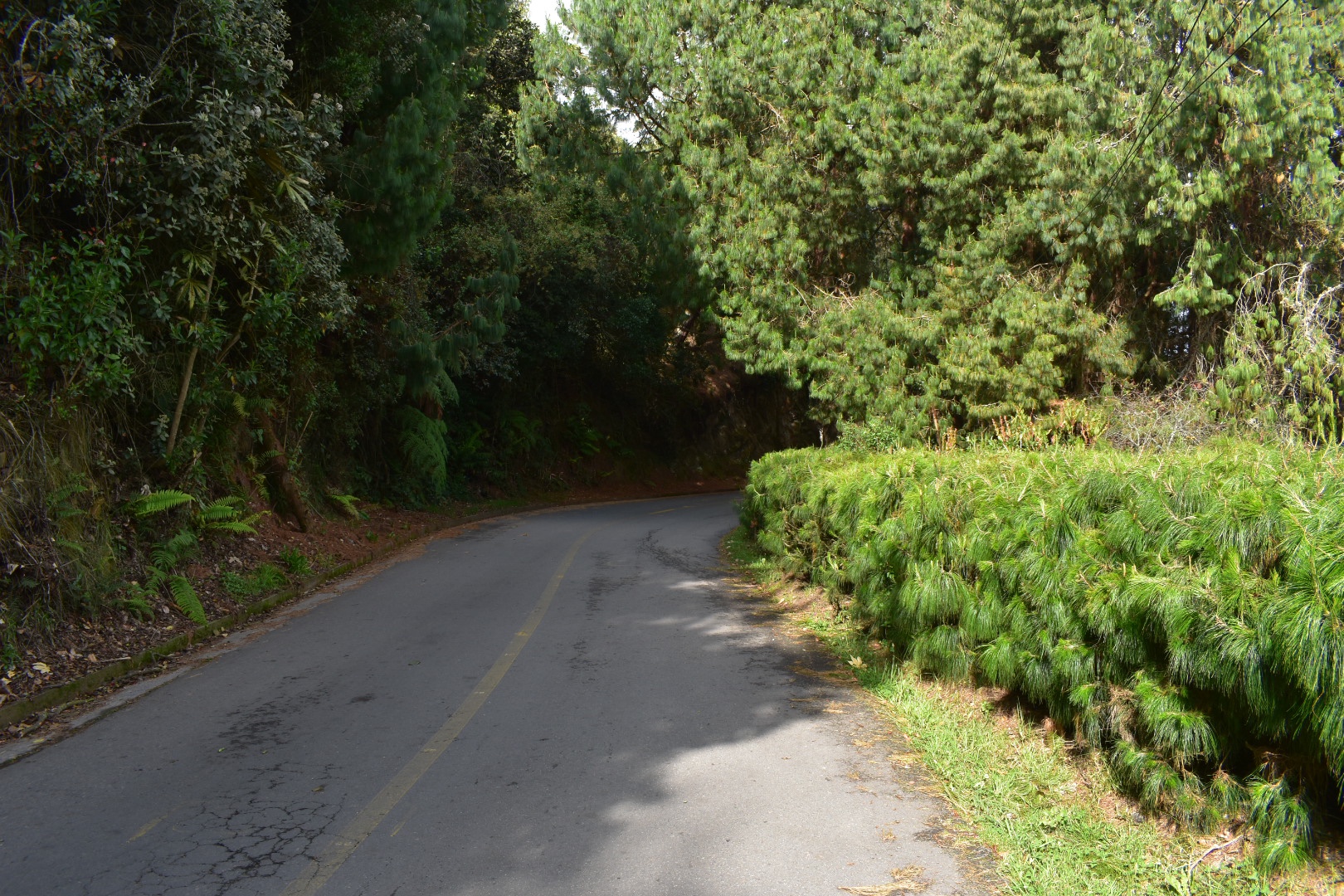
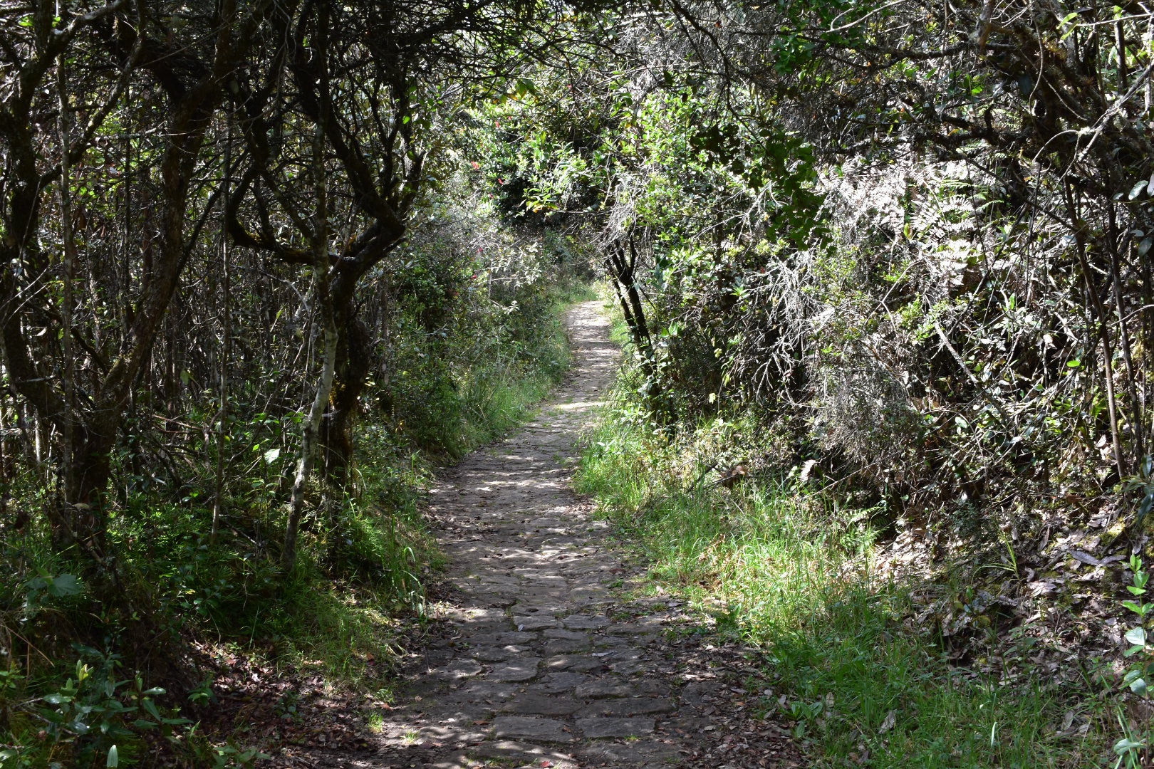
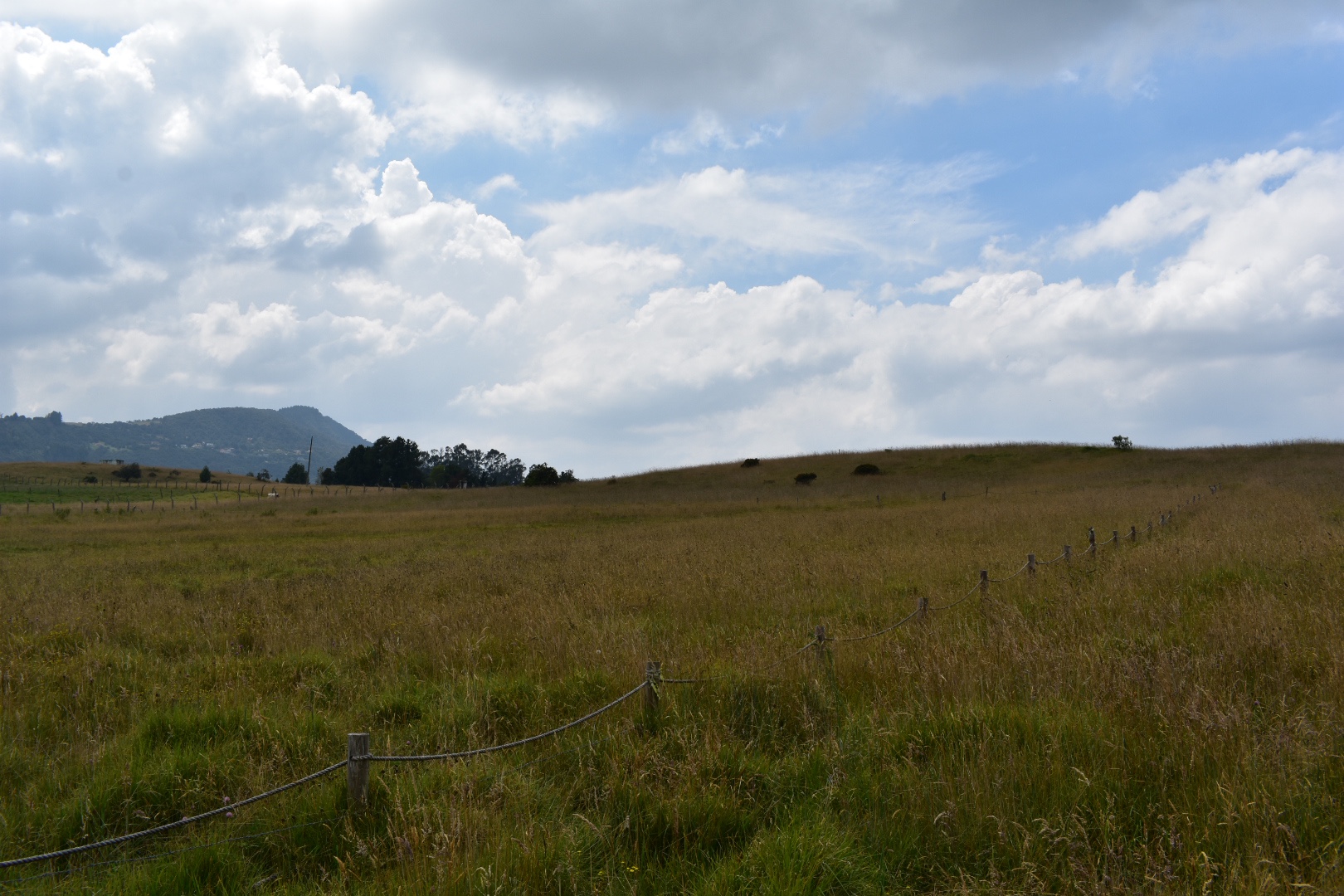
Continuing along the road a little longer we came to the point we had reached before, which is the end of the Miradora Aguadora hike. Walk through the barrier and here the road splits, you want to stay to the left where you will see a track that look like the photos below. A fence on the right and trees on the left. From here just follow this straight for at least an hour or more.
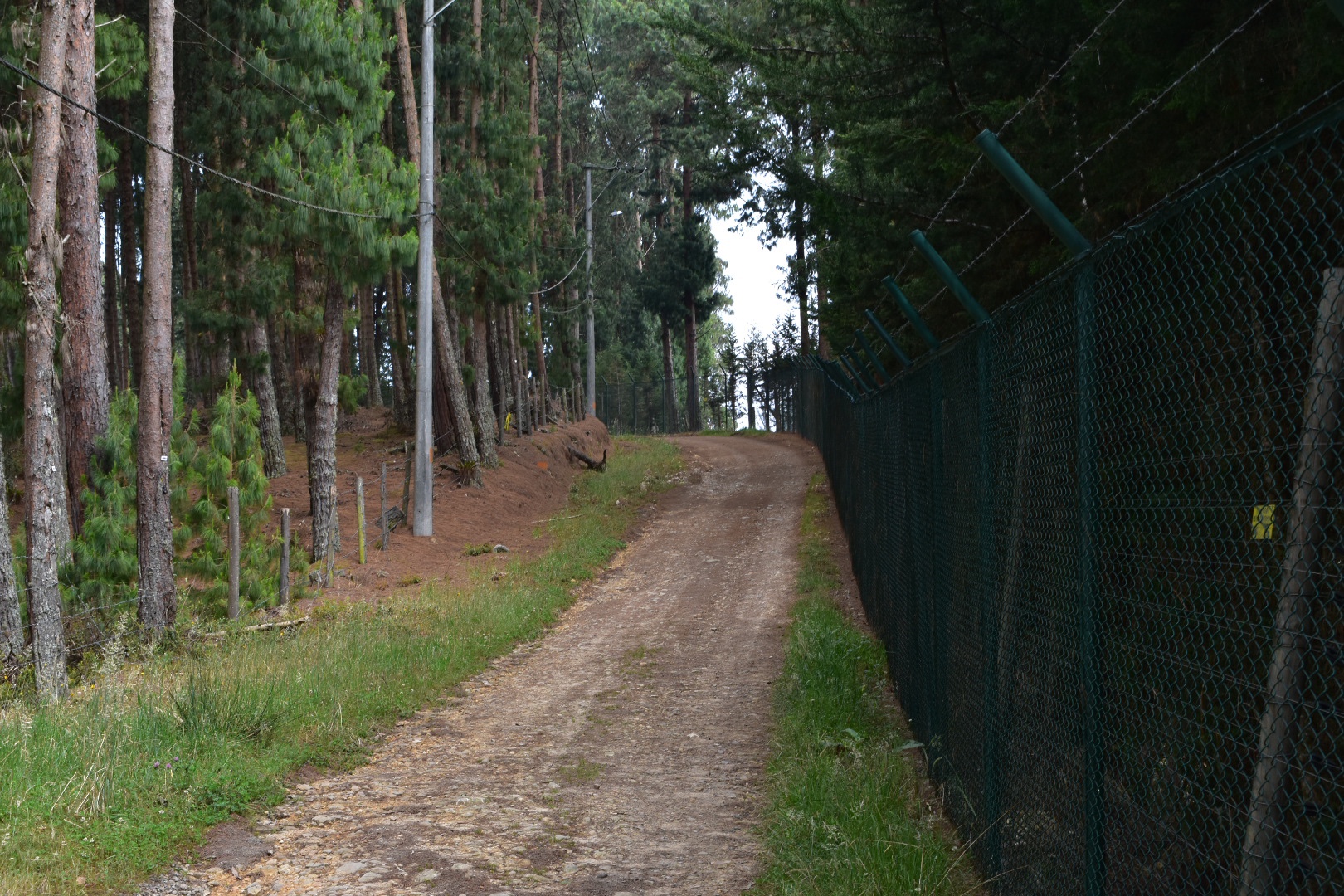
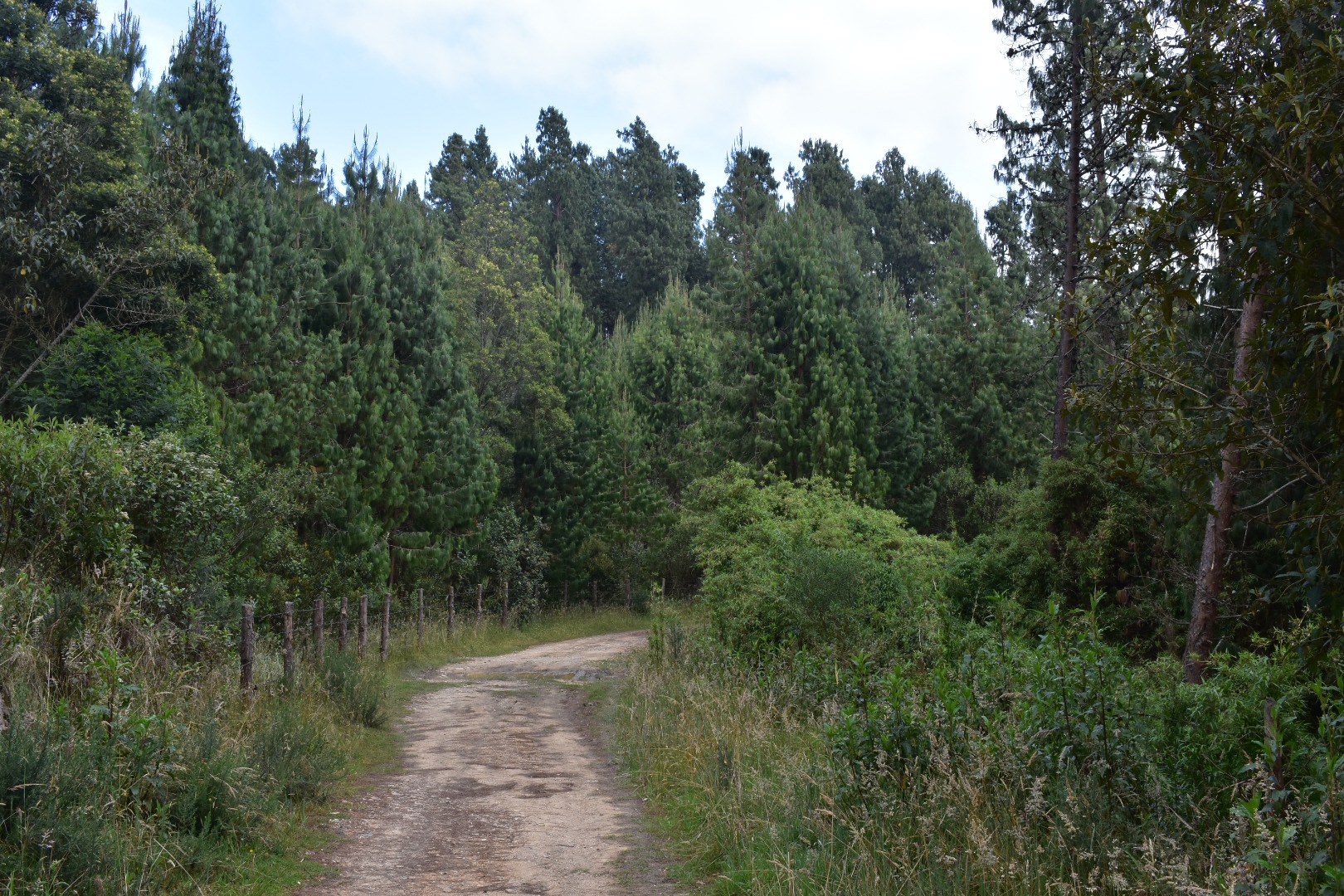
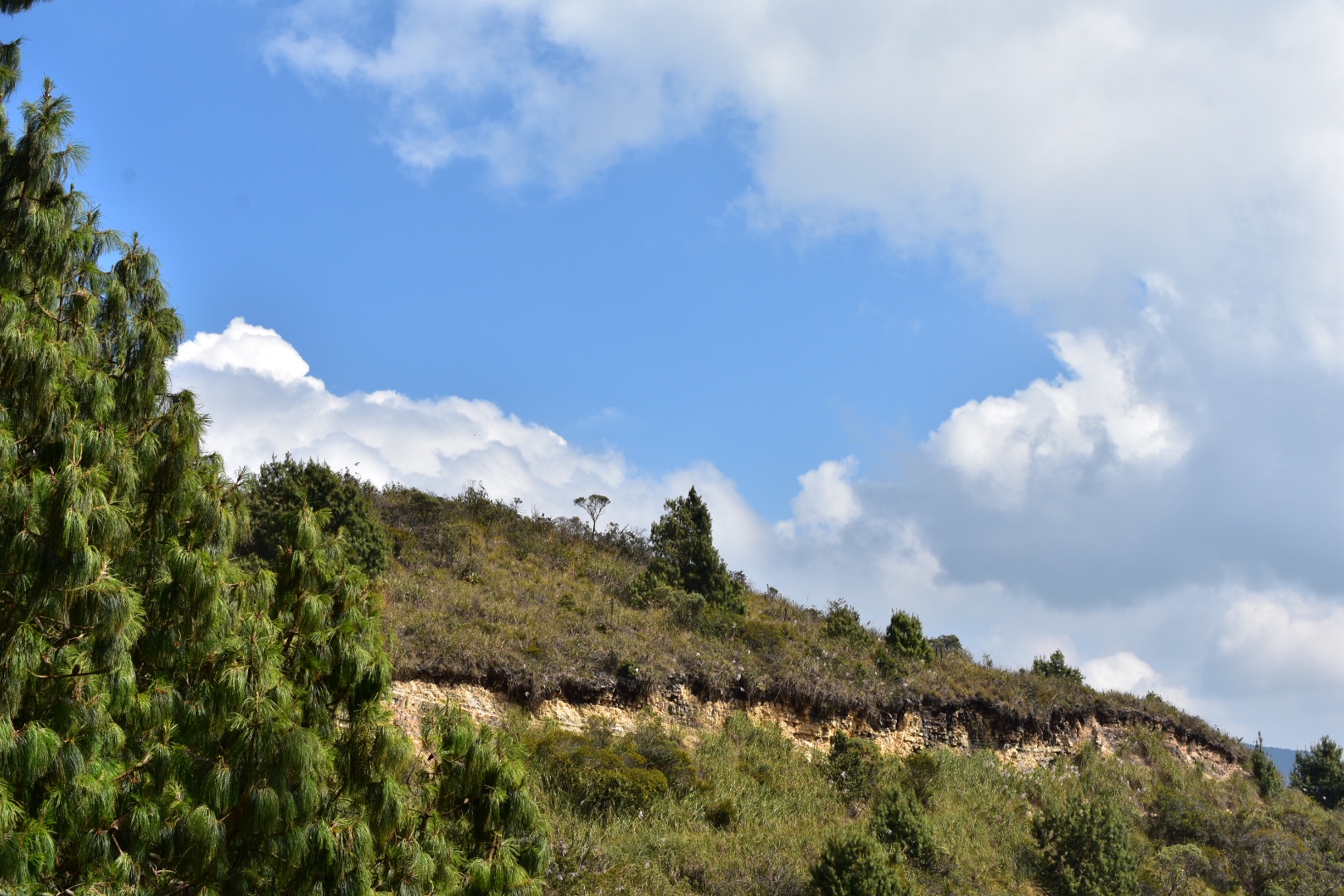
You do lose sight of the lake here but you get to walk through some evergreen forests and the air is so deliciously fresh. You really don’t have to go far from Bogotá to find fresh air and peace and quiet.

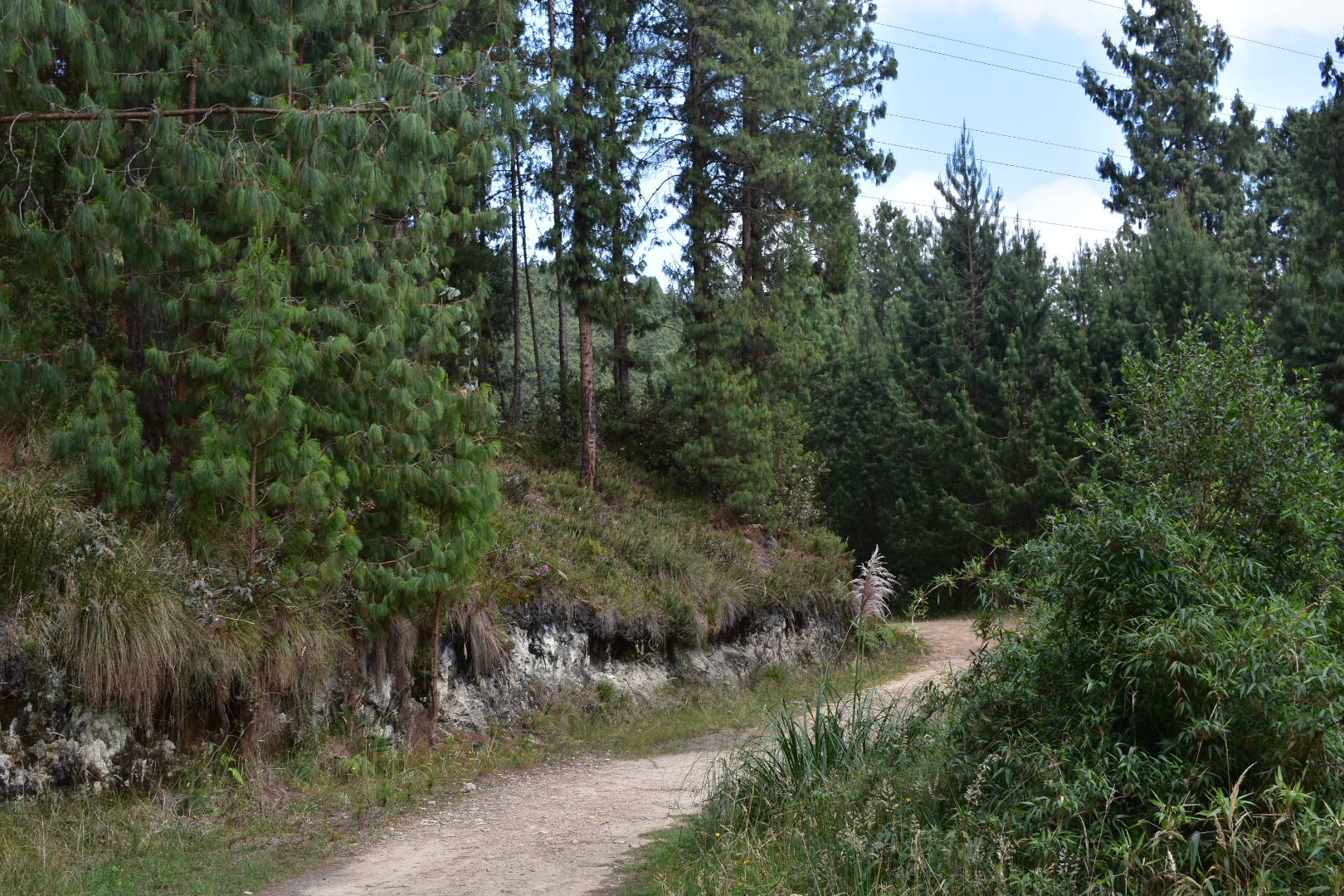
There are quite a few different paths marked on Maps.me but I only saw one possible turnoff at this stage. There is a road leading to some houses, which is clearly blocked off and you will hear the dogs. There are also signs pointing you to Camino del Indio, so follow these.
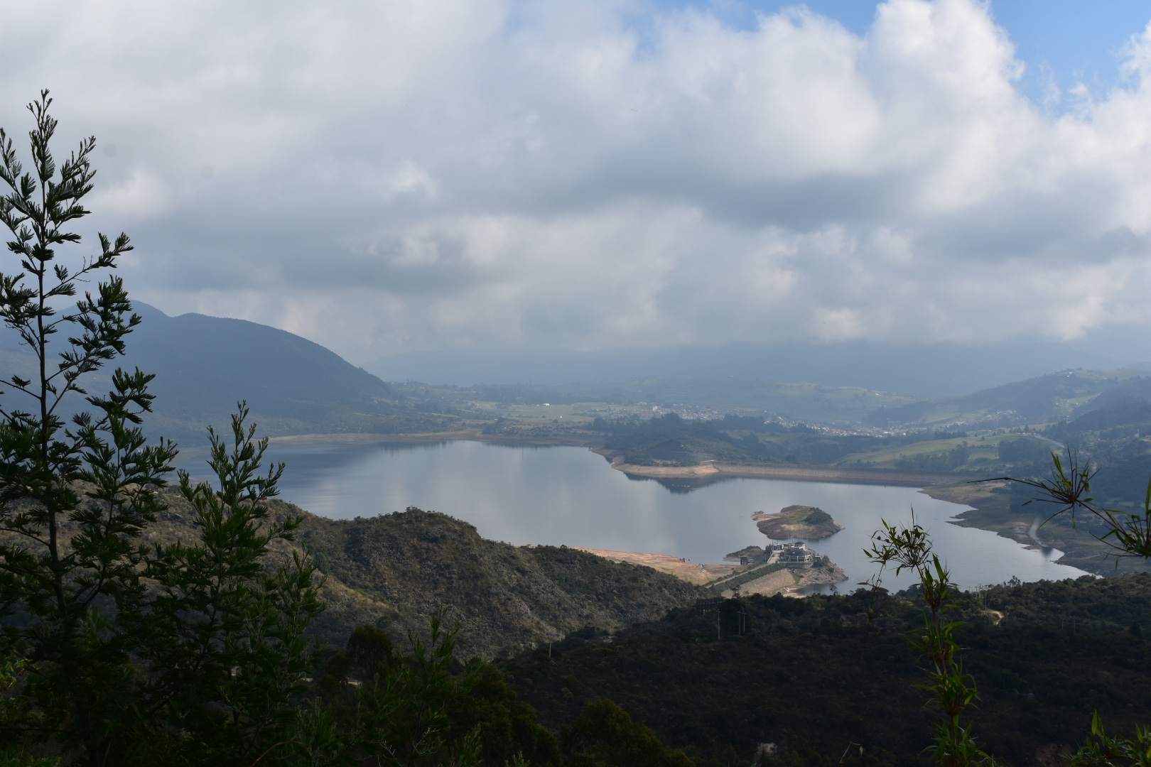
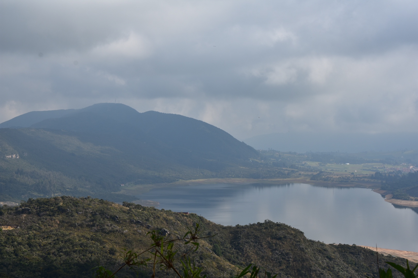
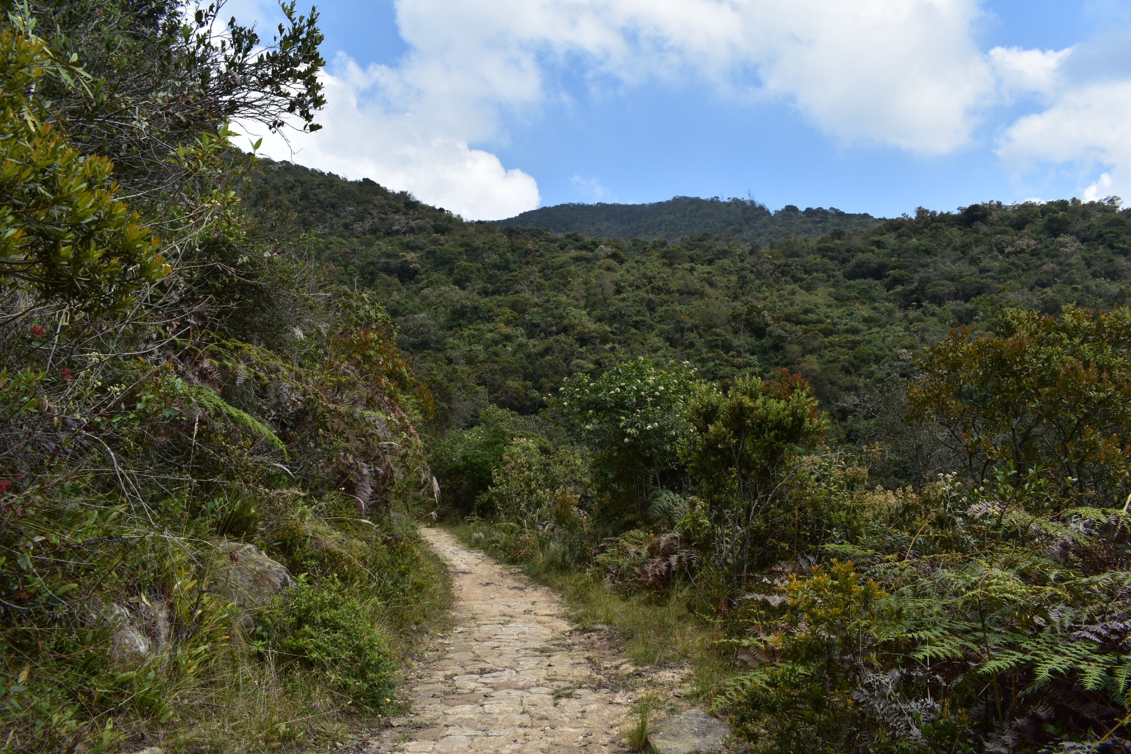
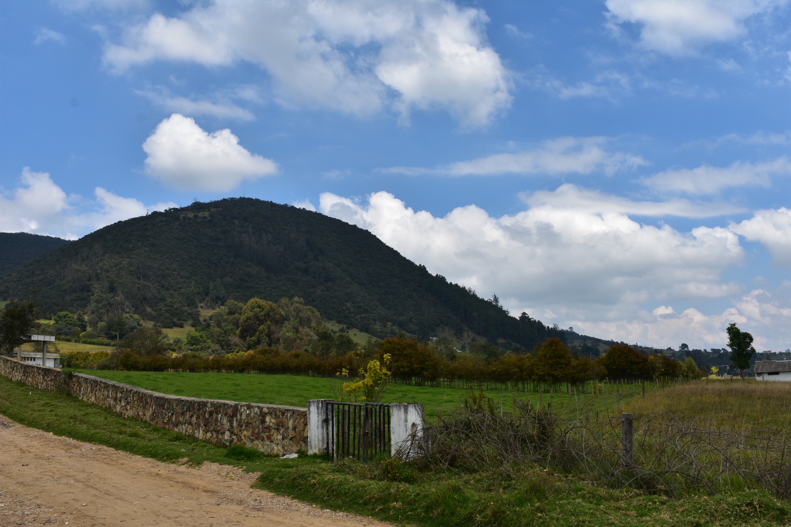
As you leave the forest there is another mirador and a place to sit. We arrived here by around 9:30 am and stopped for a break. By this point the road has turned into a path and from here you just follow it along the ridge with panoramic views of the lake.
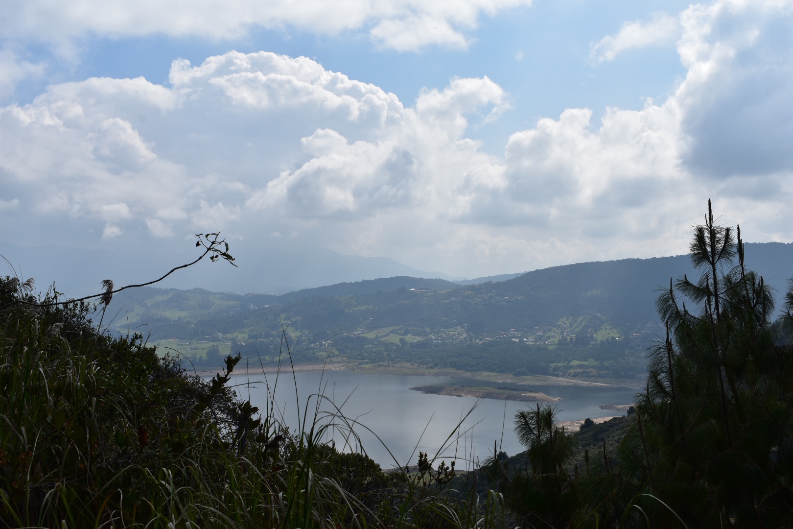
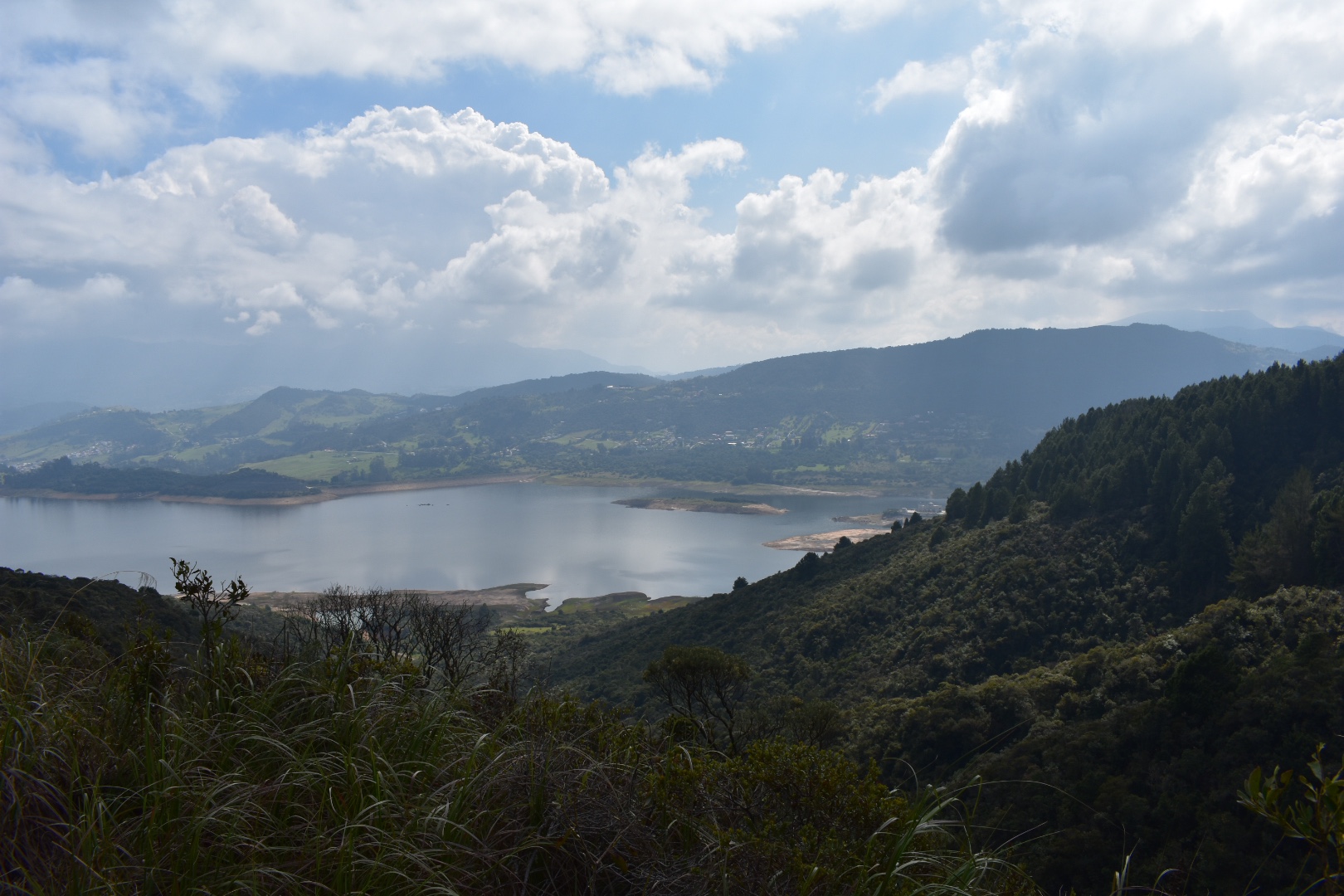
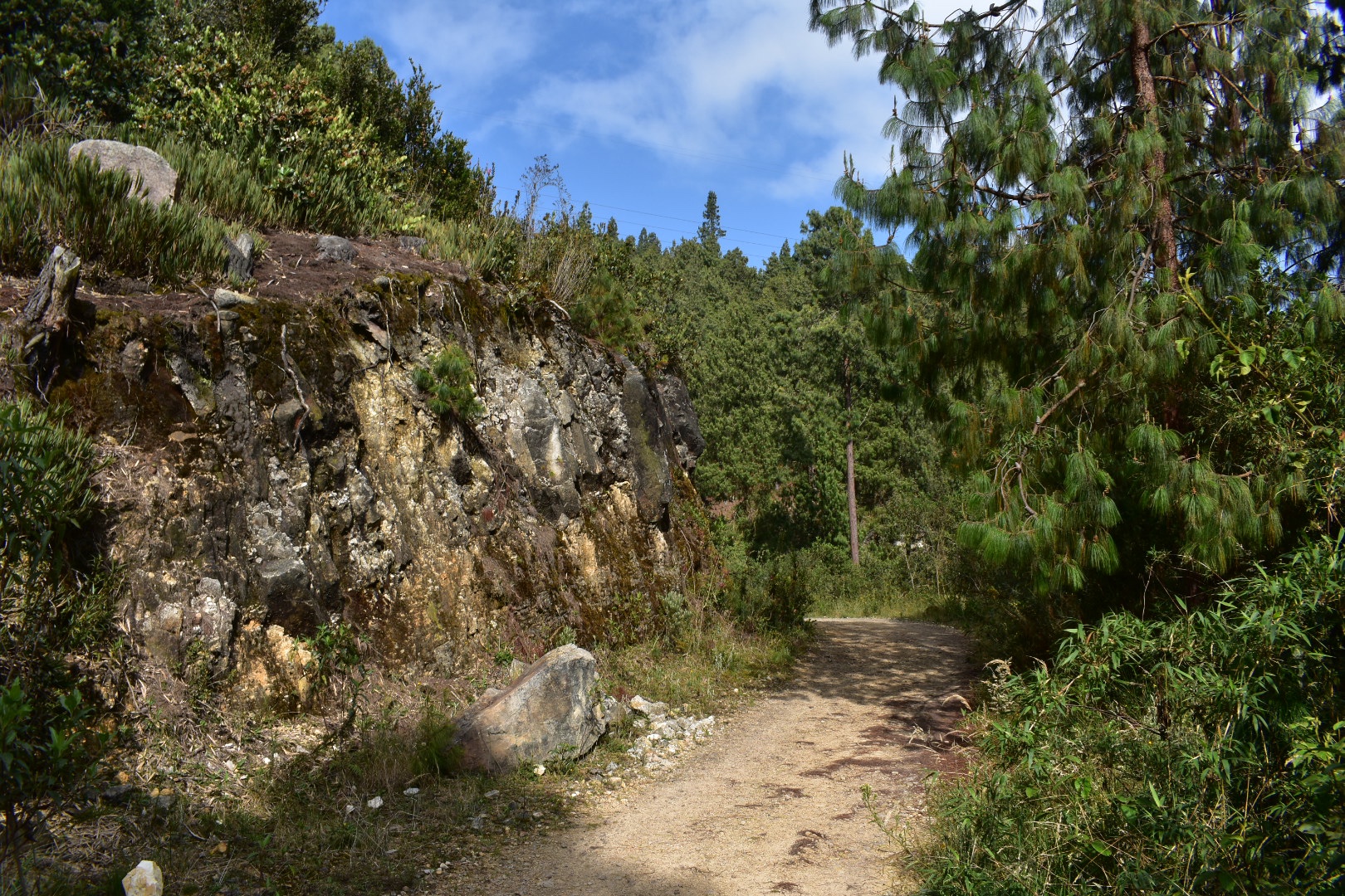
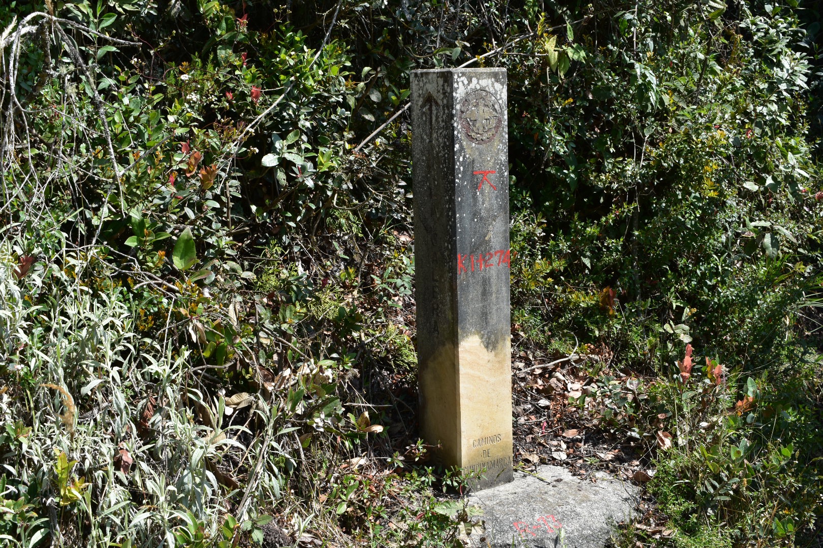
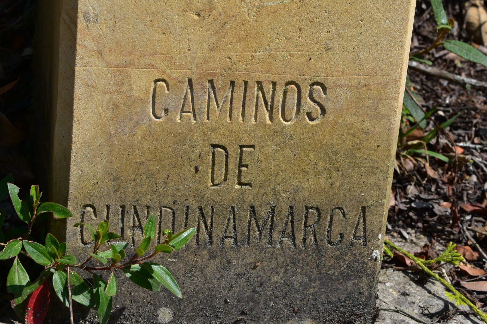
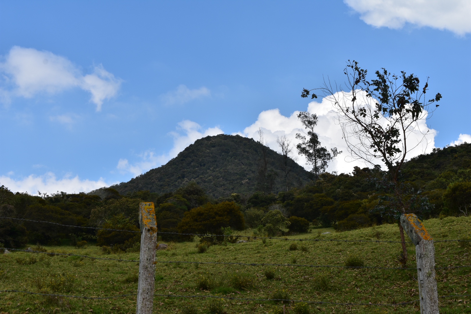
Watch out when the path comes out on a small dirt road. You want to turn/keep to the right, I didn’t actually realise this was happening as I was talking to other members of the group but note when you are on the road. You need to look for the post in the photo below which takes you to the last part of the trail. At this point he road starts to go downhill steeply, but instead you will take a left at the post and follow the path. From here its about 5.5km to La Calera.
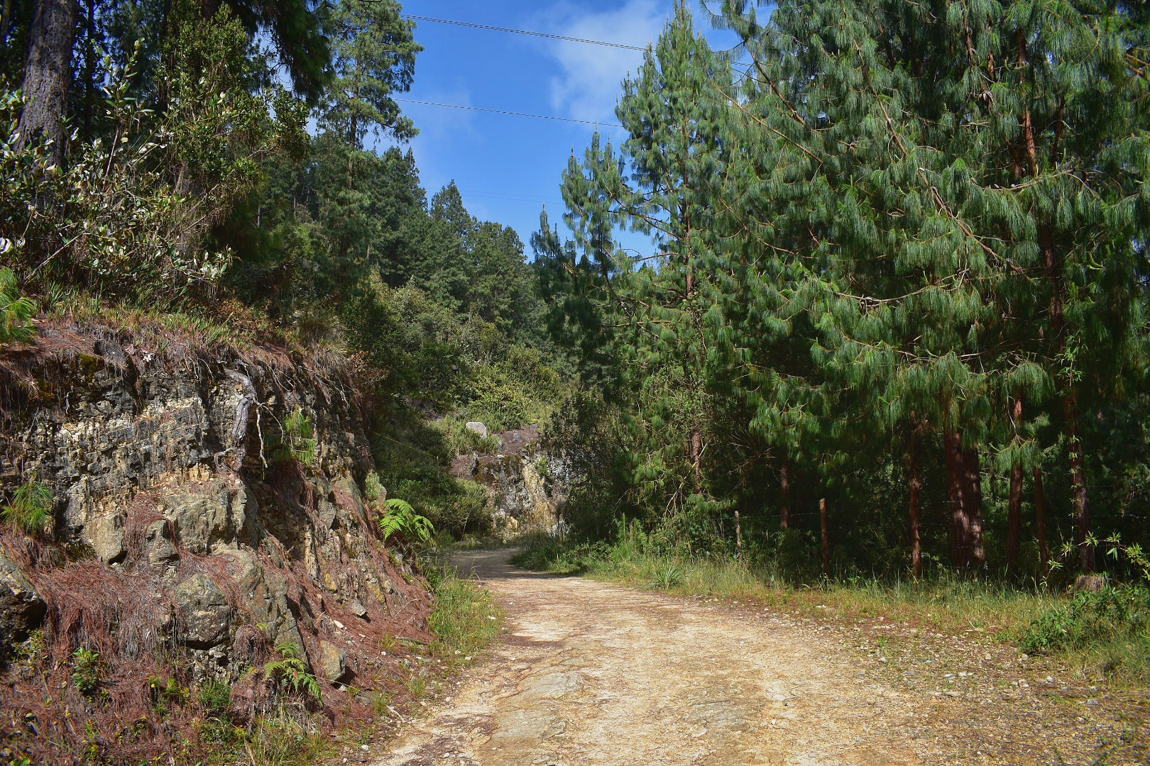
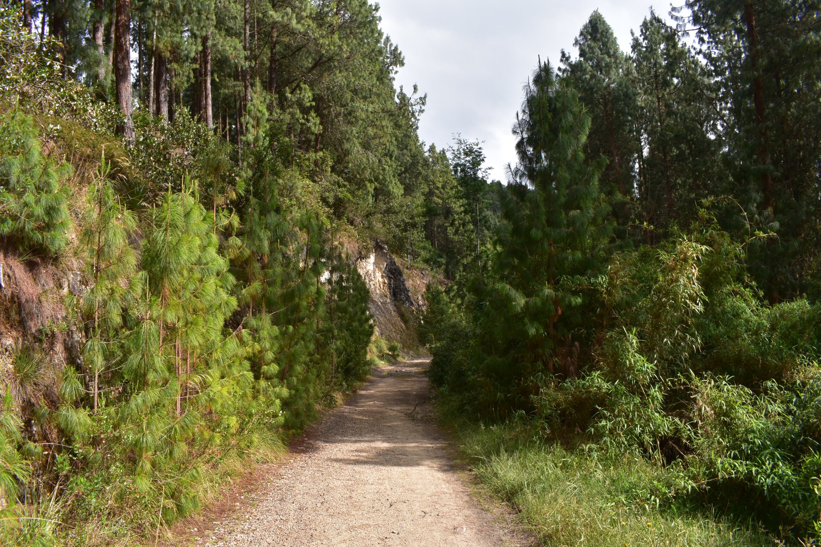
The path heads back into the trees and the view of the lake is lost its stone and all downhill so hard on the knees but easy on the lungs. At one point we rested by a small waterfall which makes a nice stop, again there are some benches if you want to rest.
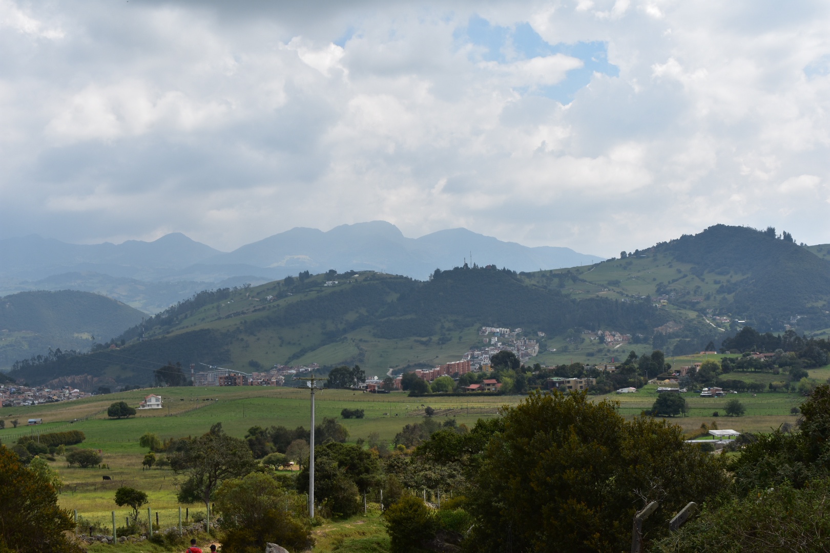
The path starts to widen and become more green and open as it heads downhill. After a while you will come out on to the roads again and you will see La Calera in the distance. You need to walk there to get the bus back to Bogota. Turn right and follow the road until the end and you will get some beautiful views of the mountains.
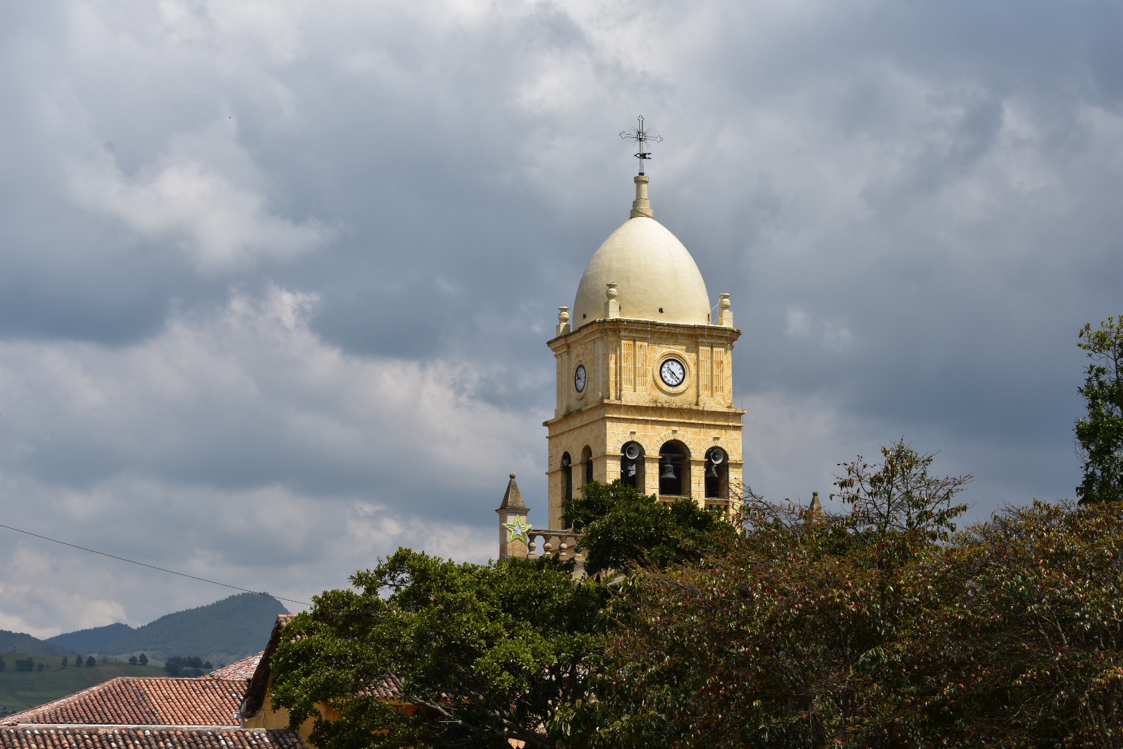
At the junction turn left and follow this road into the town. You will end up on calle 3 and you want to turn left into calle 5. If in doubt walk towards the church which can be seen from the whole town. This will take you to the main plaza.
Cross the main plaza in a diagonal to calle 7 and turn right towards the main road. You will cross a few blocks and a bridge. Straight after the bridge is a market where you can have some food, we decided to stop for lunch as it was around 11:45 by this time or you can flag a bus from the main road back to Bogotá. The bus will take you to downtown but you can jump off anywhere you want once you are back. It will be another $3500 to return.
How to hike Comino del Indio
The hike is pretty simple when you have started as you are mostly following the road as it weaves its passage around the mountains to La Calera.
To begin go to Calle 85 y Carrera 7. Cross to the eastern side of Carrera 7 and look for the road connecting to Carrera 5. Wait on this small road which is going up hill and flag the bus for La Calera, which is not the final destination so it will not be at the top in the busses window, $3500.
To follow the same route that we took, as you could easily to this in reverse, you need to get off just after you pass through San Luis. Ask the driver to drop you at Porteria Arboreto, which is a security gate for a private complex. Its on the main road close to a bar called Compostela and a hotel called Pachamama. If you can’t find it then there are other options below. Once you arrive, tell the security guards that you want to see the Mirador Aguadora and they should let you through.
Follow the road until you are close to the Mirador Aguadora, you will see the beginning of the clearly marked trail to your left. Keep going forward but take the left and then its pretty simple form there, just follow the path. When you arrive at the next road from the track make sure you look for a post on your left. Follow this path to La Calera and when you come out on to the road for the third time walk towards the church in the town and catch a bus back to Bogotá on the main road, $3500.
Hiking Options
In Reverse
If you wanted a little more of a challenge you could always hike in reverse as this way the entire hike is uphill. This is also an option if you are unable to find the starting point. In this case take the bus all the way to La Calera. Take Carrera 5 from the plaza and turn right on to calle 3. Follow this out of town and turn right at the first main junction follow this until you see the clearly marked sign that the trail begins, this will be on your left after about 500 metres. From here you just need to follow the trail. When you come to the first road, take the right and make sure you see the trail again on your left and afterwards just keep straight until you get back to the main road. From here you can flag a bus back to Bogotá.
Combining with Mirador Aguadora hike
Its possible to combine this hike with Mirador Aguadora and I would actually really recommend that you do as the first part of the hike as we did it can be confusing and also its a little boring to walk along the road. Before you leave make sure you check out the Mirador Aguadora blog.
The Mirador Aguadora hike is 2.6km and begin on calle 119 in Usaquen. Go to Usaquen along Carerra 7 and then walk straight up towards the mountains, again you will need to pass a security checkpoint but this path is open so you con’t need to provide a reason. You will walk up the road for a few hundred metres but then take the obvious track to the left, the track changes to a path when you reach the water plant but continue upwards.
When you reach the mirador at the top, rest for as long as you wish and then turn left, this will take you down to the road. From here take a left and you will be at the trail that leads into the forest, which has the fence on the right. From here just walk all the way to La Calera.
If you are hiking in reverse when you come out on the main road from the forest look for the path to Mirador Aguadora on the right, which is clearly marked, and it will take you down to Usaquen where you can get some well deserved rest, a beer and some decent food.
Equipment to take
There is no food or water available on the trial itself, but once you reach the end, no matter which way you hike, food is in plentiful supply. Its a half day hike but there are plenty of beautiful spots to stop for lunch. Although the hike is sort and is done by trail runners and day walkers I always take the following on a hike:
- Gortex hiking boots
- Waterproof jacket
- Waterproof trousers
- Dry bag or backpack cover (I take both)
- Cell phone
- Cell phone battery
- Charger cable
- Sunglasses
- Sun Cream
- Painkillers
- Blister plasters (better if you have a small first aid kit)
- Hand soap
- Tissues
- Water filer
- Sun hat
- Food – you can never have too much and you will need it on this hike so pack appropriately.
- Water 2 litres minimum
Clothes
The hike is not high altitude and I found we brought too many layers getting warm quickly. Having said that is can always get cold in the eastern hills so its best to come prepared.
- Base layer
- Fleece
- Hiking trousers
- Hiking underwear
- Hiking socks
There are many stunning hikes up to the Cerros surrounding Bogota which start in the city itself. Read my post about the 4 different hikes that form part of Quebrada la Vija, including one that takes you up to the closest Palmero direct from Chapinero Or escape the city on a sunny afternoon and take the short walk up to Guadalupe.
5 Pingbacks