
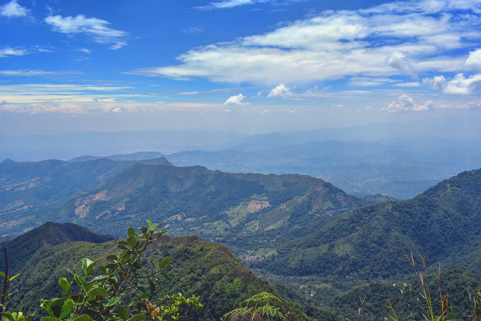
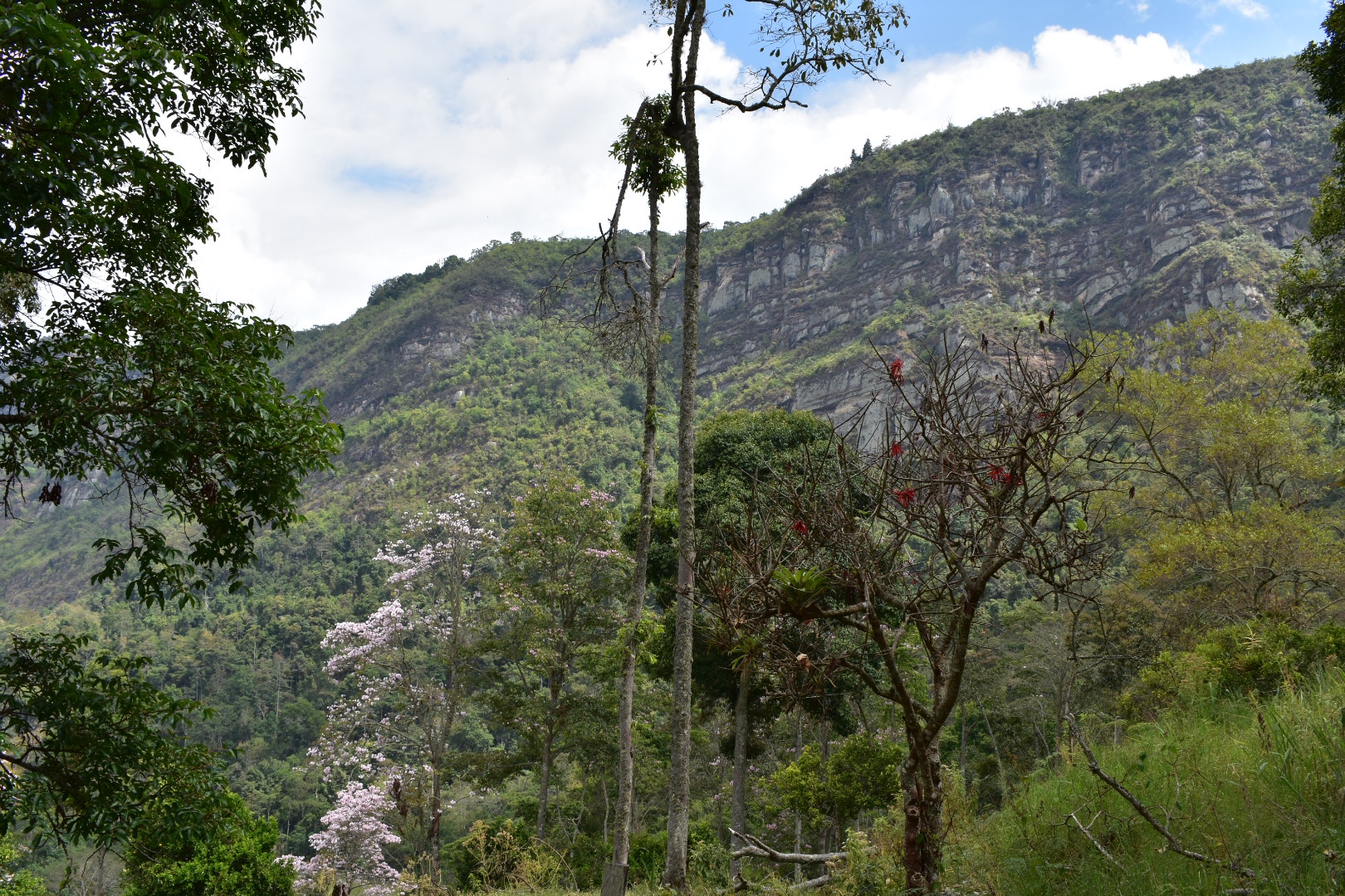
Cerro Quininí is located in a natural park situated high in the Colombian Andes. Surrounded by green mountains from horizon to horizon you can see birds of prey hunting in the warm coffee growing region. Located a only two hours drive from Bogotá you will be amazed how much the landscape and climate change in the short distance as the constant cold is replaced with warm and sunny days, with enough cloud cover to keep you protected when hiking. The small towns in the region make this the perfect weekend getaway from the bustle, cold and pollution of Bogotá. You can come and stay on one of the many coffee farms or in one of the small towns and enjoy playing Tejo with the locals.
When we took the long bus journey back to Bogotá from Pereira I was looking out of the window scouting for locations to hike. I remember being excited when I spotted Cerro Quininí due to its proximity to Bogotá and the trails on Maps.me. After some research I found some stunning photos of the park, especially the overhanging rock. I found a blog which gave very sketchy details about how to arrive (which I can no longer locate). Armed with very little knowledge a phone booking at a family run hotel near the trail head and a strong will to arrive we decided to try and see how far we could get. But as always we seemed to find the right people to help us along and with a little luck we found our way to the top.
If you are interested in other weekend hikes away from Bogotá then read my guide to Laguna de Iguaque, a high altitude hike to a sacred lake close to Villa de Leyva a UNESCO heritage town full of delicious restaurants. Or a little further afield is Capurgana, a tropical paradise on the border with Panama where there are many different jungle hiking trails or you can just relax on pristine beaches.

Information

Our Experience
With a holiday weekend coming up and the location being a few hours outside of Bogotá we opted to make this an overnight trip. You could easily extend for the weekend if you find the right spot as the relaxing towns and the warm temperatures make it the perfect getaway. And it will save you having to rush back to the city after the hike as happened with us. In hindsight it was good that we did set out this timescale as it took us more than 2 hours to arrive at the bus station to leave a very wet Bogotá.
There was only one hotel, a few towns far, available on Booking.com, which was expensive, but we found a few hotels on Google Maps near the trail head. As the primary reason for going was to hike it made perfect sense to us to stay near the trial. We called the Hacienda de Vuelta, which I would highly reccomend, and were quoted $60000 for the night for both of us.
The most difficult part in the journey for us was leaving the city. Angela had to work so we agreed to meet at the Tansmileno Estación near where she worked at 1:30pm. Our aim was to get to the Terminal de Transporte Del Sur in Bogotá, which is close to Estación Bosa. I was following Angela and and she was following me and we accidentally ended up at the end of the line. We were told to flag a bus from the main road, and stupidly attempted, crossing a three lane highway to get to the main highway. Rammed with traffic it was impossible to find the bus we needed. It wasn’t a god day to flag a bus anyways as all the seats were already taken so we decided to run back across the busy highway and return to the correct Transmileno station, Estación Bosa, and take a bus from the terminal.
When you arrive to head to the north side of the road and turn right and the main terminal is 4-5 blocks along staying on the main road. You will soon see the station on your left. As we left the Transmileno station it started to rain and by the time we reached the terminal we were already wet.
There is no bus to Tibacuy and we were offered the chance to be dropped off on the main road, Highway Panamericana, by getting a bus to Fusagasugá. We brought tickets as we wanted to see how far we could get and just hoped there would be onward travel when we arrived. We were already tired and disheartened by this point as it had taken over two hours since I left the house to reach this point. So I really stocked up on well needed snacks and we arrived at the very full bus to claim out seats just before it left at around 3:30pm.
The two hour journey was one of the busiest and sketchiest busses I’ve been on. The local busses are really not as fun as the long distance. We had been told to get off at the highway but I reasoned the best place to get another bus would be at the terminal. Besides I’d rather be at a terminal than standing beside a highway not really sure what I was looking for. When we arrived Angela asked the driver where we could get connecting transport and we were told to go back to the highway. Don’t do that as we have done the painful work for you. We asked again at the main terminal we were told that there were collectivos that went to Tibacuy but they didn’t always pull into the bus station. So the best thing was to head into town. Although for some reason no one knew where in town to go. We took a local bus marked Centro and lots of people all piled on. I kept checking our location on the maps and after we seemed to reach the city centre Angela asked the bus driver who told us to get off and pointed us to walk back down the main road we had just came.
This information didn’t sit right with me as it meant we were heading back out of town and all the traffic was going into the town so we reasoned we should at least cross the road. We did and another passer by told us that the busses only came once and hour, so we waited on the road looking for destinations in the window of passing busses. It was at least 5:30 by this point and starting to get dark so we walked a few blocks north and Angela asked a few more people and we spotted a road where a lot of busses were coming from. We waited here but saw no busses coming for our destination but we waited and looked for what felt like a really long time. If felt as if the rain was going to start again any minute so I was desperate to find the right bus and on the verge of giving up when two guys came to join us. I spoke to them in my best Spanish and I found out they were waiting for the same bus, but they soon they left without saying anything and walked off towards the town. Knowing the bus came down the road I asked in a shop where is started and was given directions but told it would pass. I don’t always like waiting and wanted to be on the move and we headed off in the direction that the others had waled and on the next block stopped as we found a really dirty market square. I asked again and was told the bus left from the other side of the square.
We crossed the square and went down Carrera 11 and just on the left was a full collectivo-which is why I say it’s best to come here rather than flag on the street as the bus did not stop for anyone else. There was no space left! We grabbed the last two seats and were soon again on our way. It was around 6:30 pm by this stage and it’s a good hour and a half journey to the final stop. The collectivo headed back toward highway Pan Americana, drove back towards Bogotá for a time and took a left towards Tibacuy. It first winds it’s way down into the valley and then back up again the other side. The road is bumpy but you get some great views during the day, but for us it was pitch black and we just dealt with being jostled around crammed into a small bus. The collectivo stopped in various small towns and villages until we were the last passengers. And then we were dropped at the trail head. There are a couple of food stalls and a bar so if you want to stop and rest up you can.
As it was already dark we decided to head up the trail to the hotel, drop our stuff and return here for a well earned beer. I was so happy that we had arrived and knowing the hotel was a short walk up the path made me really excited. The excitement dissipated walking in the dark takes much longer than it does in daylight. I was wearing a jumper and jeans and it was much hotter, darker and longer walk than we expected. We only had our phones for light – I really needed to pack a head torch but as we were generally doing day trips I never considered it necessary. After being barked at by every dog in the all of the houses we passed was not much fun. We arrived to a very warm welcome but feeling a little broken and exhausted. Luckily the hospitality we were shown turned this all around really quickly.
We were shown to our lodgings which was in a building with a tonne of rooms and we were the only occupants. I purchased some really cold beer, and sank one almost immediately, and water from our hosts and we opted to stay here for dinner rather than heading back down the trail to where we were dropped off. There were four dogs who joined us for dinner and we were treated to a hearty chicken, rice and plantain. It was simple but delicious. We sunk a few more beers and then headed to bed exhausted. But the bed was one of the most comfortable I’ve ever slept on.
We awoke the next day and found ourselves in a paradise. I had asked for breakfast at 7am as the sun was still rising and there were so many animals around, including the cockerels who had kept me awake for a portion of the night I decided to photograph the animals.

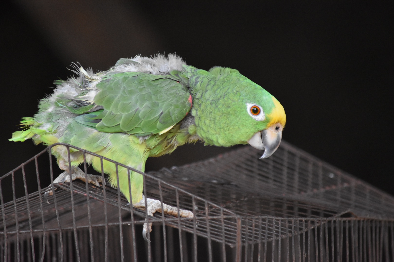
There was a parrot who was singing La Cucaracha and climbing around his cage.
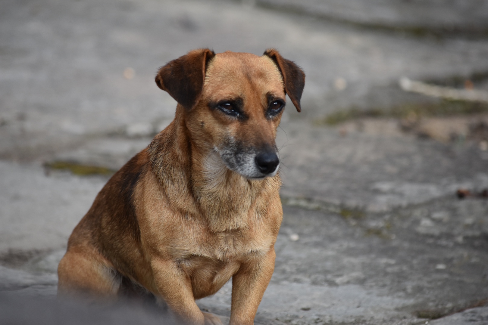
The four dogs who watched us eat every meal were posing in the sunlight.

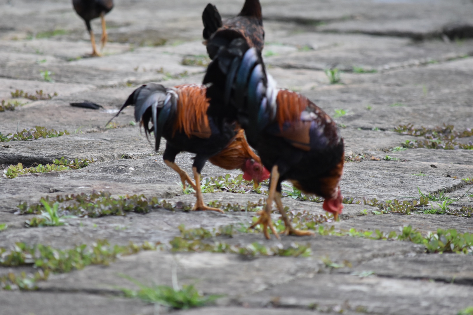
Even the cockerels were on form, posing, eating grain and chasing each other around.


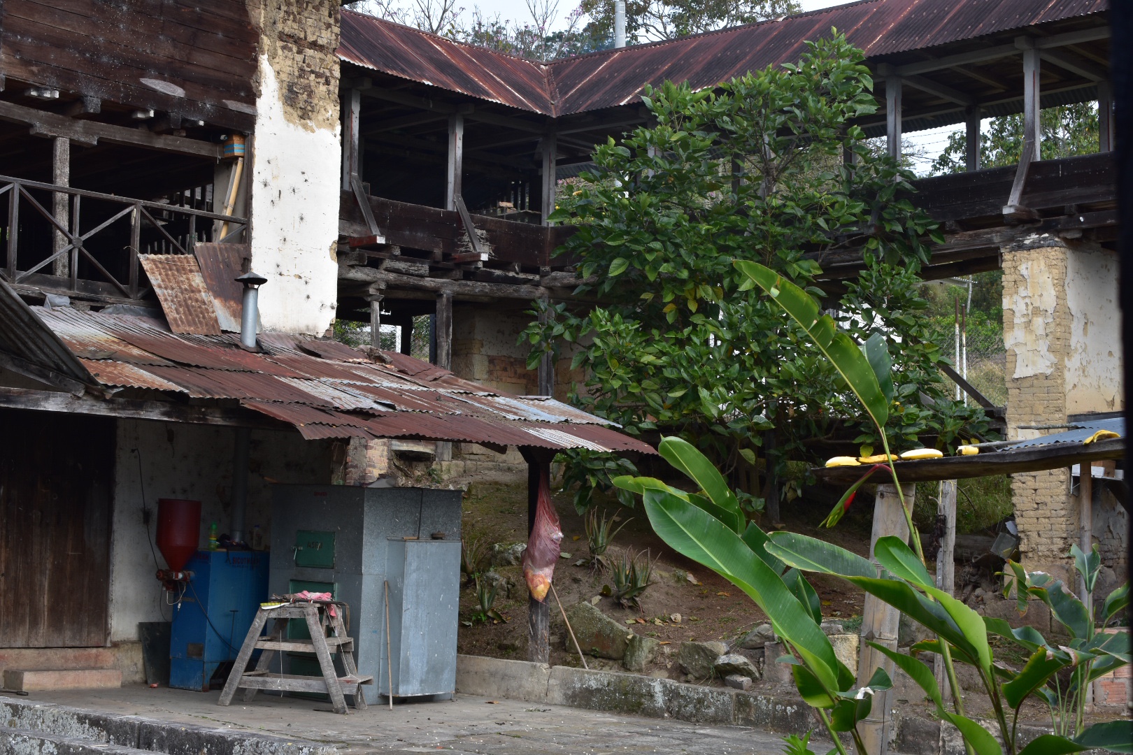
The hotel where we were staying was also a coffee farm and this giant barn used to be used for drying coffee beans. Now it’s all done in a small metal container and the farm doesn’t need to employ so many staff.


This is the container in the picture below.
Just as we started breakfast the owner placed some bananas on a bird table. I didn’t really think much of it until these colourful birds started appearing. I grabbed my camera which was already on hand and snapped away.


And then when I was excited to have seen all the birds a hummingbird fluttered by. They move stupidly fast and I was lucky I had my camera ready to go.


After breakfast we explored the gardens in the day light a little and I went back to finish prepping the bags for the hike. Angel played on the swing and found an orange growing in the garden.


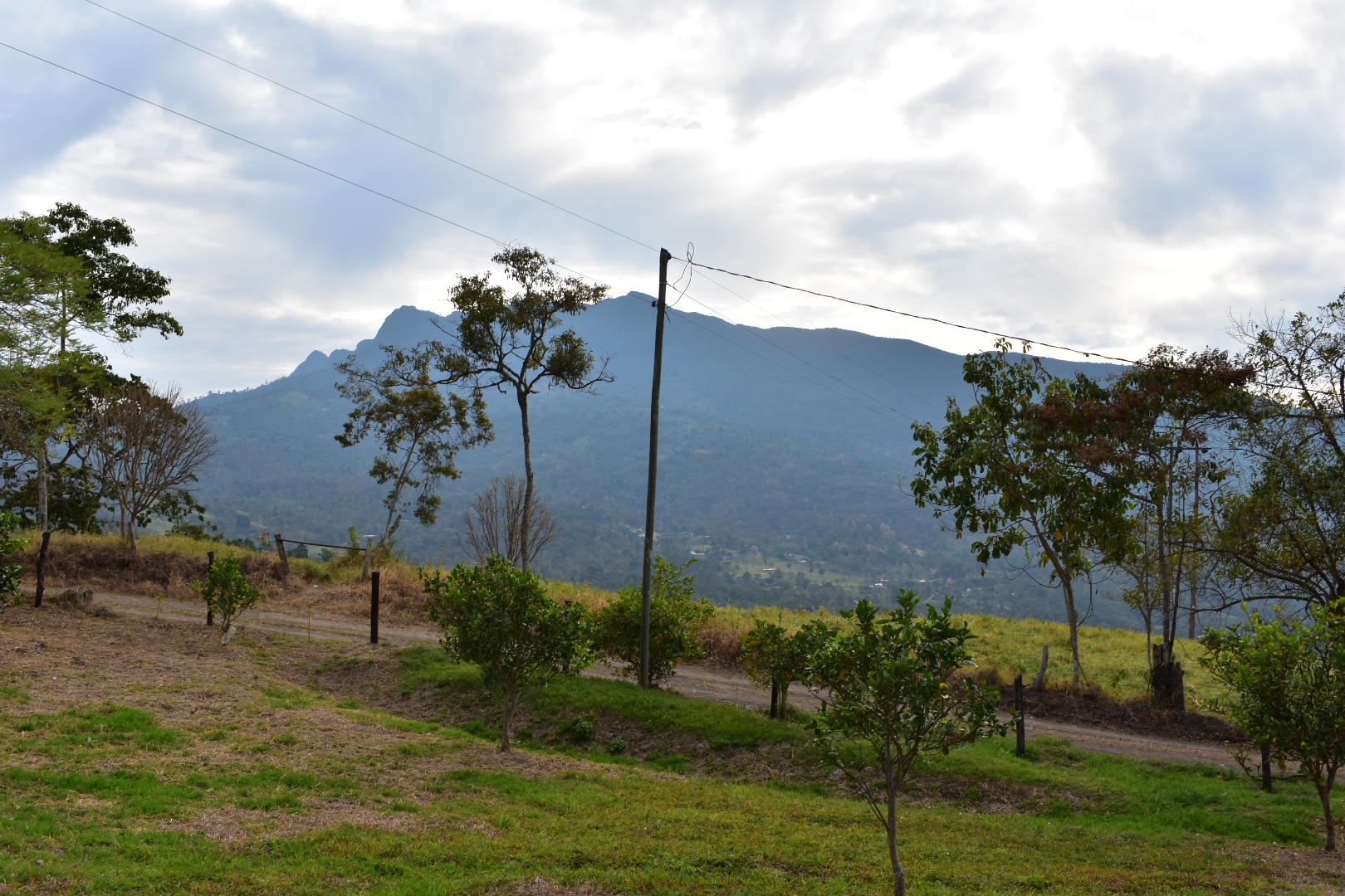
But then we were off and it was around 8am. The sun was still rising giving us beautiful views and it was already hot, looking like we were going to get a great day, despite the clouds in the sky. We turned right out of the hostel and followed the path up to the mountains. I don’t remember how soon it was after we left but we were very quickly joined by a four legged companion. I named her Winston, before we later realised he was in fact a she. For some reason I assume all dogs are boys and all cats are girls, which is not how life works.
It’s not the first time we’ve been joined by a dog but it was the first time we had such an eager complaining who stayed with us until the bitter end. When we returned we saw her run back into the neighbouring property so I can only assume she waits for hikers to walk up the mountain in the morning and takes herself for a walk. She definitely had fun!
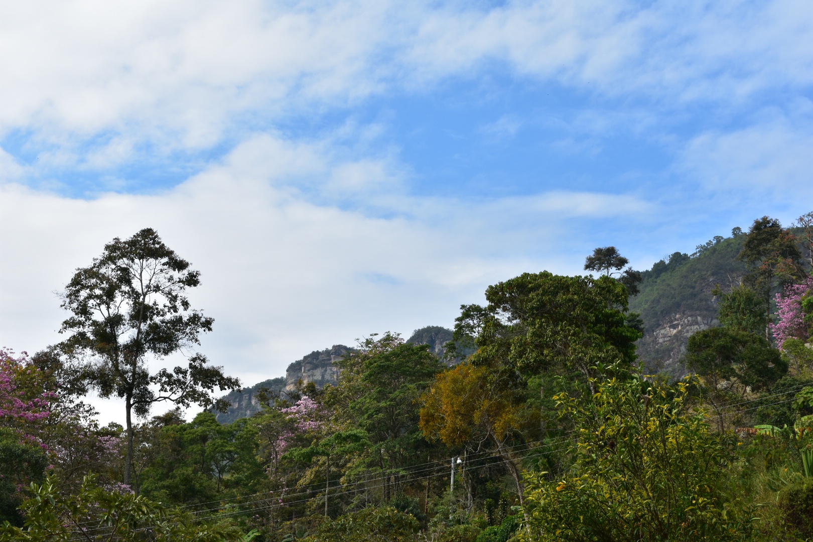
At the beginning of the hike the path ascends rapidly via switchbacks before steadying for a while as you hit meadows. Here are some of our views from beginning of the trail


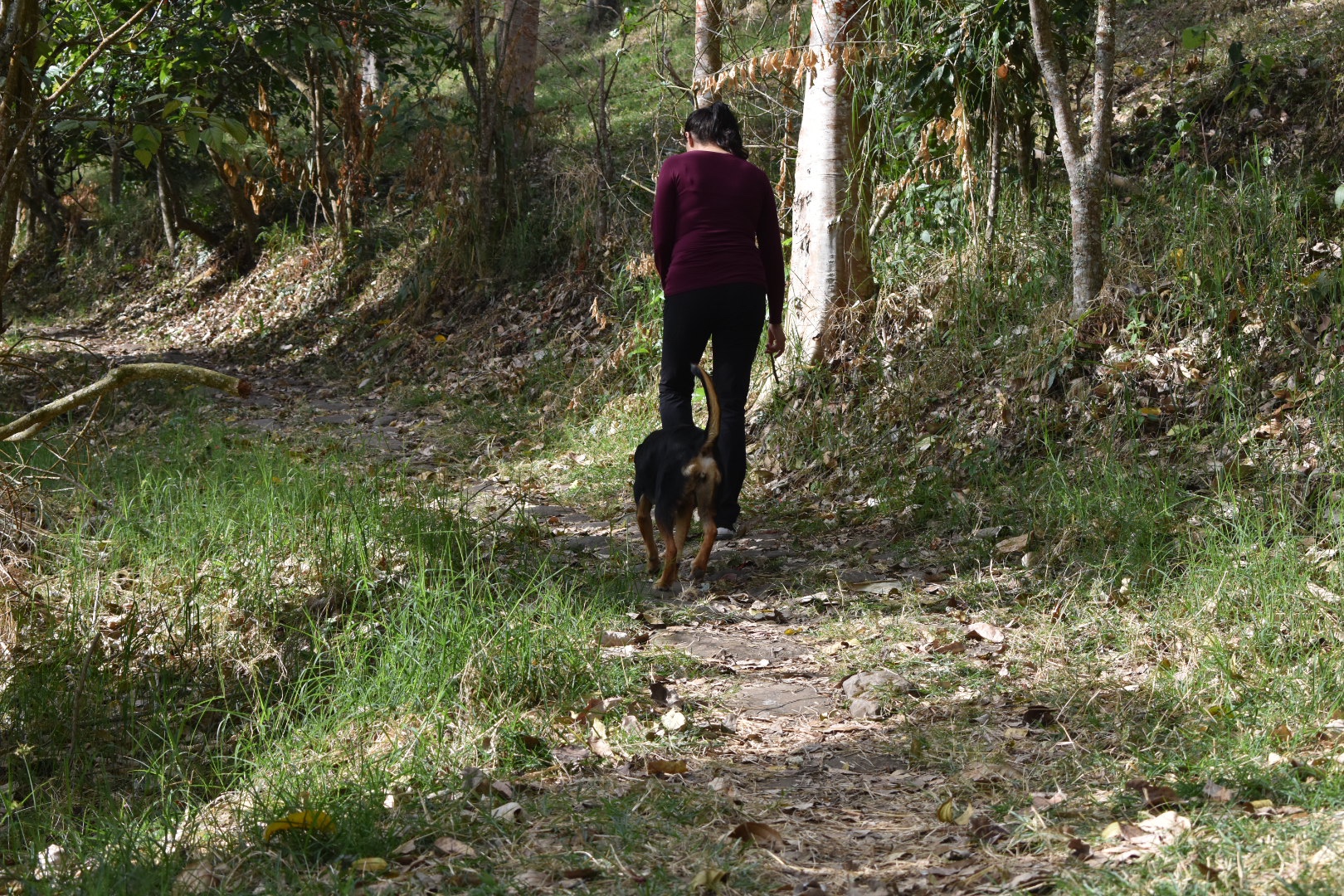
The path is leafy and surrounded by trees. Here you can see Winston looking after Angela as we made our ascent.

The path takes on a number of switchbacks taking you steadily higher and providing better views. You walk past a number of properties and small holdings, many of which have happy dogs, before walking through a few coffee plantations.


Once you pass around the side of the meadows and the path weaves past the farm houses, with some very barky dogs, and the coffee farms we entered enter some dense forest. It’s here where the path gets really steep. There are a number of switchbacks taking you up to the top of the mountain. All in all the trail is not stupidly long, but it is steep. Winston kept running off into the trees chasing birds and I assume ghosts as I had no idea what she was after.
Sooner than we though we arrived at the top where the path opens up on to a gravel road and from here is a few hundred metres to the park entrance. You soon realise why you came all this way.

Currently entrance to the park stands at $10,000. It was around 9am by the time we arrived and the park was just opening up. We paid our fee to the señoría and headed in. We were given a warning not to stand or sit on the edge of the overhanging rock, which you might have seen in the Instagram photos. There is a crack in it and they are waiting for engineers or whoever accesses cracks in rocks to determine if it’s safe. I for one decided to avoid as I don’t like the idea of dying just to get a better photo, but also I don’t want my legacy to be the cause of deaths of others in an avalanche which also resulted in destroying a local landmark. But that’s just me…

It seems that there are organised tours should want a guide but this park is completly accessible by yourself.

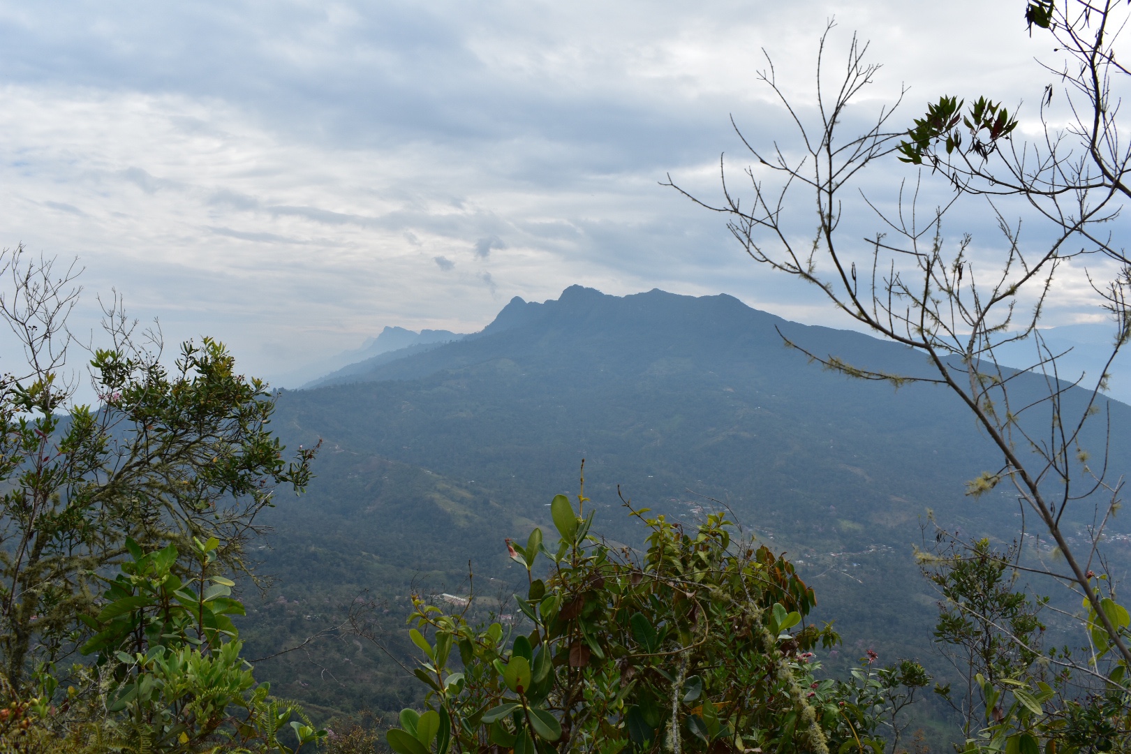
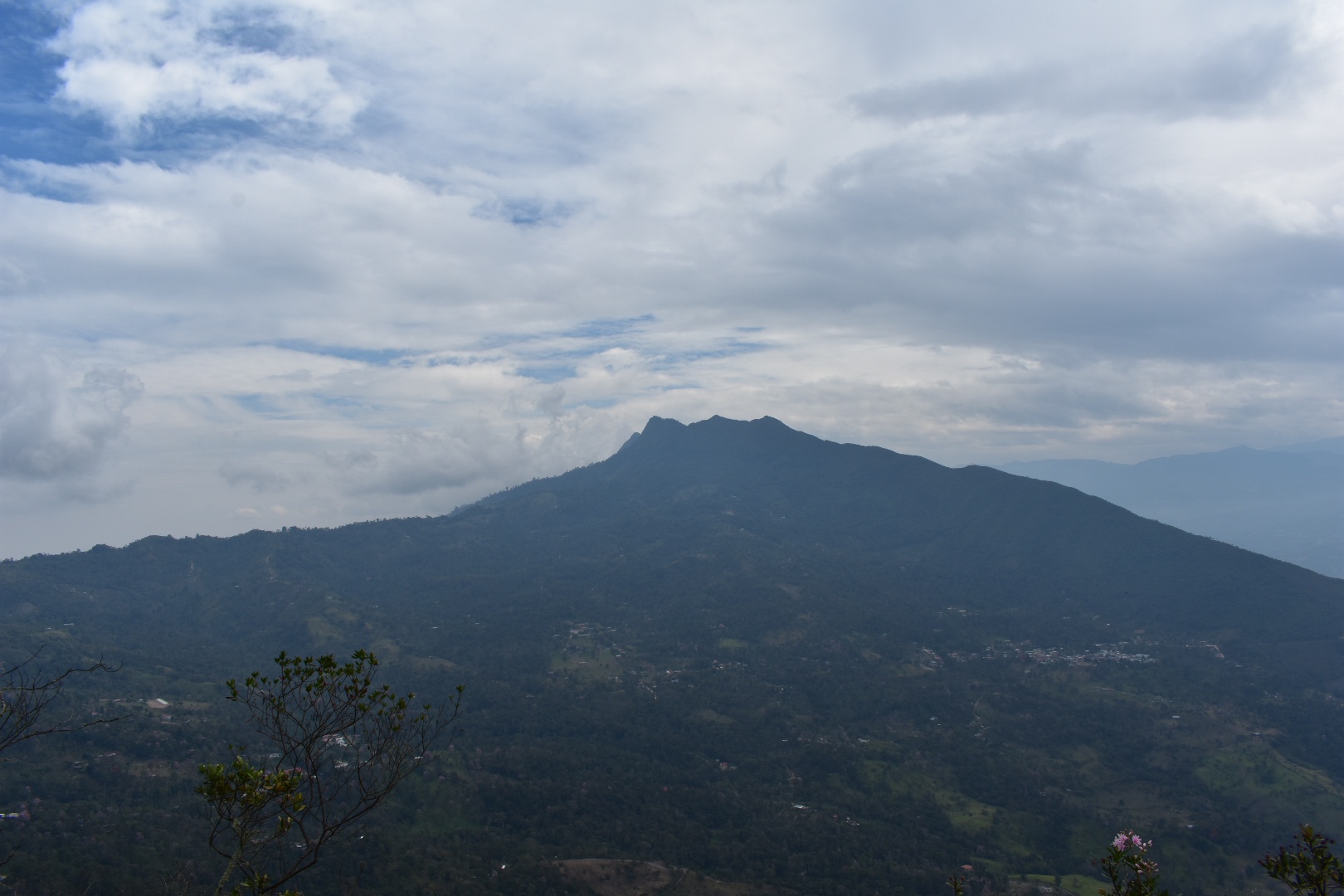
There is one main path that leads into the park, so we followed before taking a small detour to walk along the ridge looking out over the valley. The photo below is actually the other side.


Winston was fearless and posed on any rocks she could find in order to get a better profile pic.



Angela tried to get some shots with Winston but it seems Winston is not interested in sharing her social media presence.

We walked along the ridge for a time, stopping at the different locations. This mountain was considered sacred by the local indigenous peoples and there are a few places where you can stop and see rock paintings and the sacred sights. The path goes up and down a little but nothing significant in comparison to what you have walked on the way up. We reached the famous rock, Cara del Indio and stopped for some food. We had lunch booked at the hotel for when e arrived back but snacks are always necessary and this time I shared with Winston still feeling guilty after Pionono Park. It took maybe an hour to reach this point, but we didn’t push ourselves. The sun looked like it was clearing the cloud away and the mountains in the horizon were covered in a lot of haze-I can’t tell if it was pollution or not, so we decided to wait it out a little and see what happened.
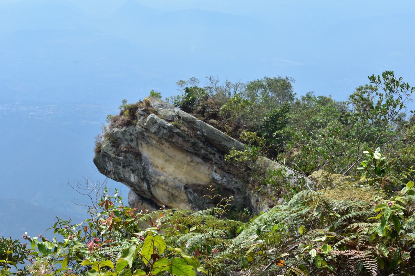
Angela didn’t sit on the cracked rock.

Winston on the other hand had no such fear.


I spotted a lizard which I’d previously chased around the Tataco Desert. I mean I don’t think it was the exact same one.


And the clouds did clear a little so I took a lot of rock photos.


We spotted a fire on the mountain across the valley.
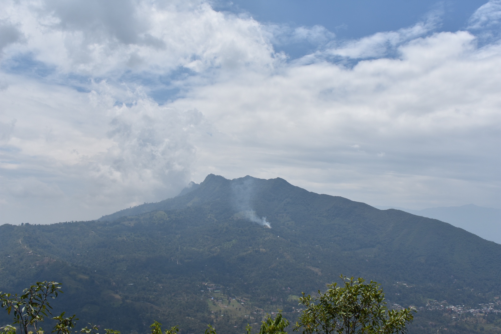
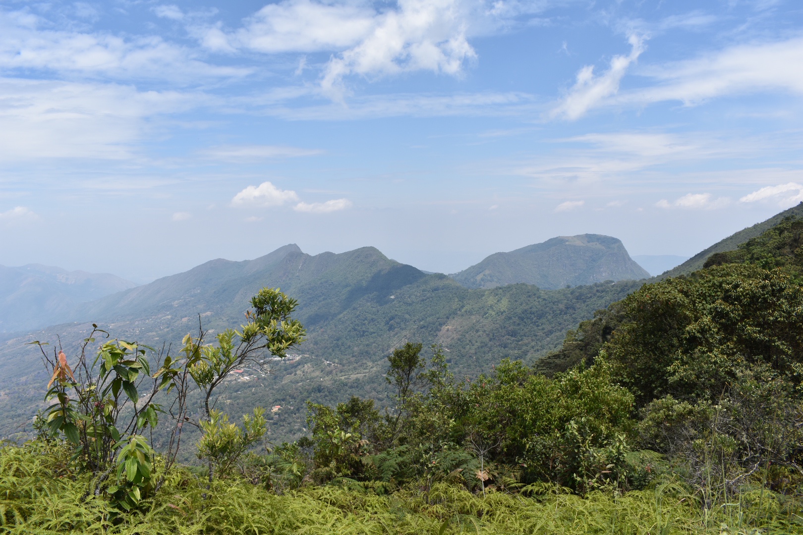

And then decided to head back to the entrance taking a different route. It was largely in the tree cover and we didn’t see much. There was a path that seemed to lead down into the next valley but as we needed to get back today we decided not to pursue that both but instead I wanted to head up to the other cerro accessible on the ridge.
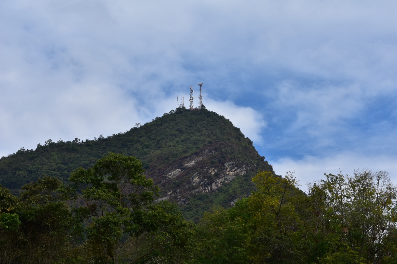
This is the one with all the mobile phone masts and there is a road leading to the top. This is free and not part of the park.
At the entrance we brought some more water and tried to give Winston a drink but it turns out that she won’t drink from the communal dog bowel and prefers mineral water. It was really warm not and she was panting a lot. We were worried about her but determined to push on. Here are some of the views form the entrance.

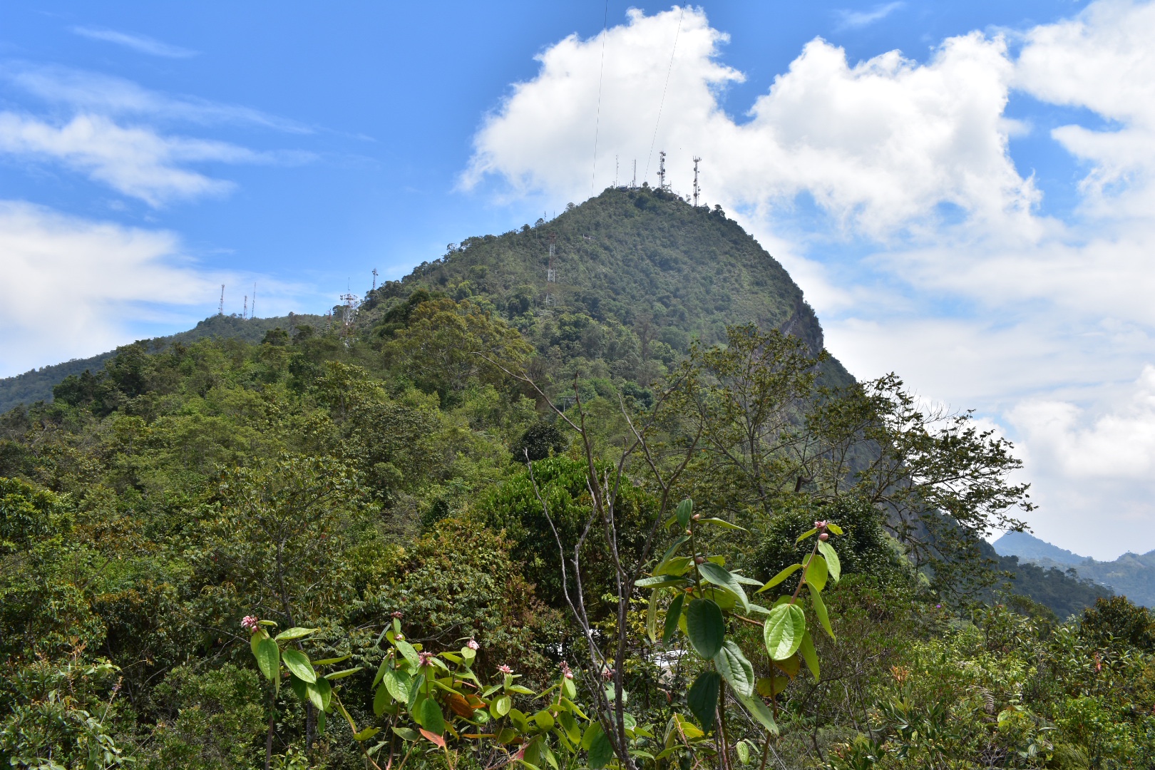

It’s a tough little walk up the steep road to the top. I guess it took us around another hour to reach the masts.
On the way up we met some workers who were chopping back the foliage. At one point two cyclists and a maintainer worker over took us. There were a lot of cyclists on this route and I have not idea how they made it up this high – it was tough enough walking, let alone peddling a bike.
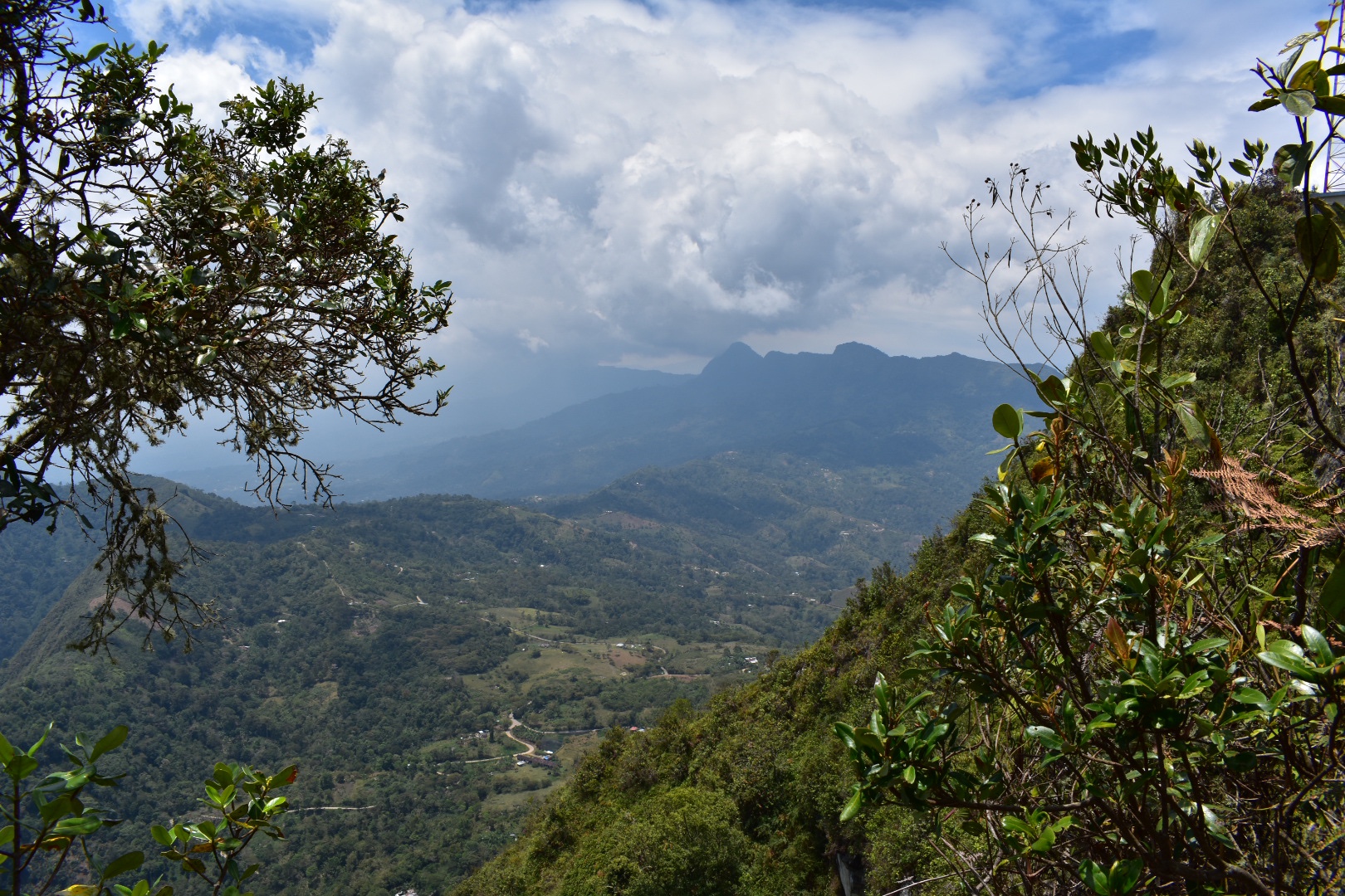
When we reached the end of the path we found a compound for the masts blocked the road. And looking at the map the top of the mountain was up a path to the right that we had neglected to take. One of the guys who was cycling came back out from a path that led around the side of the compound. He hadn’t found anything but Angela asked the worker if there was a mirador and he said yes. So we followed the path to the left of the compound. If you decide to do this you won’t be disappointed but just be careful as the path weaves up and down and there are some big drops next to the narrow path. But then you reach the lookout point.


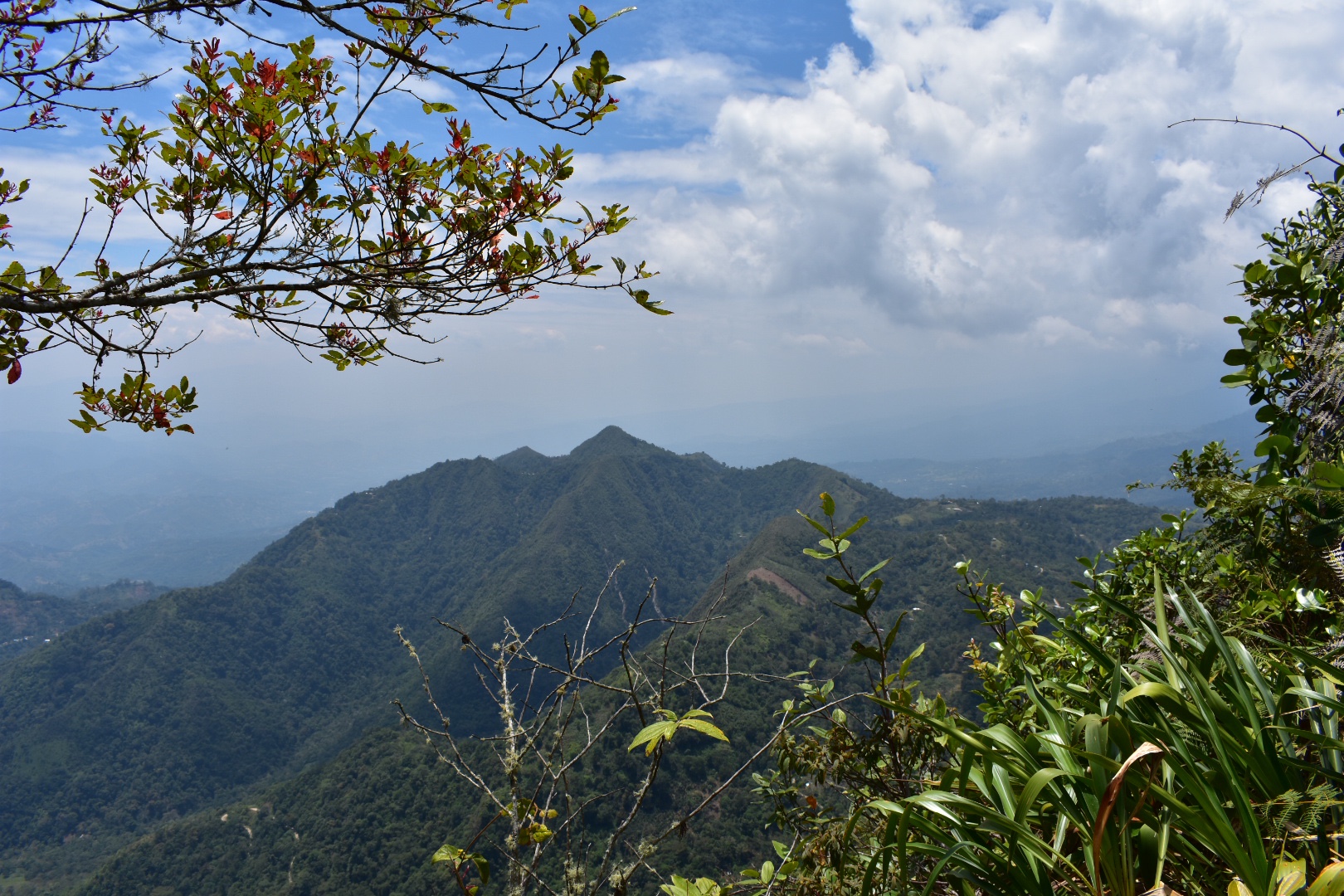

And it’s all rather stunning.


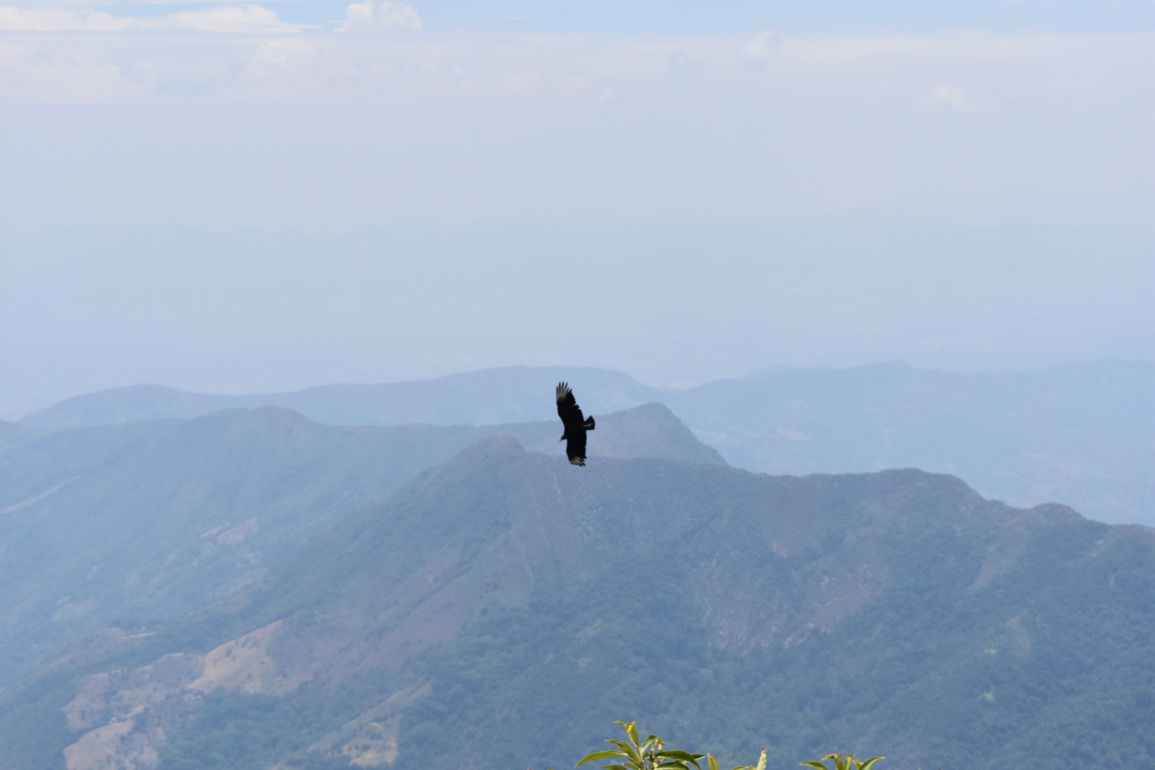
And if you are lucky you might see some birds.
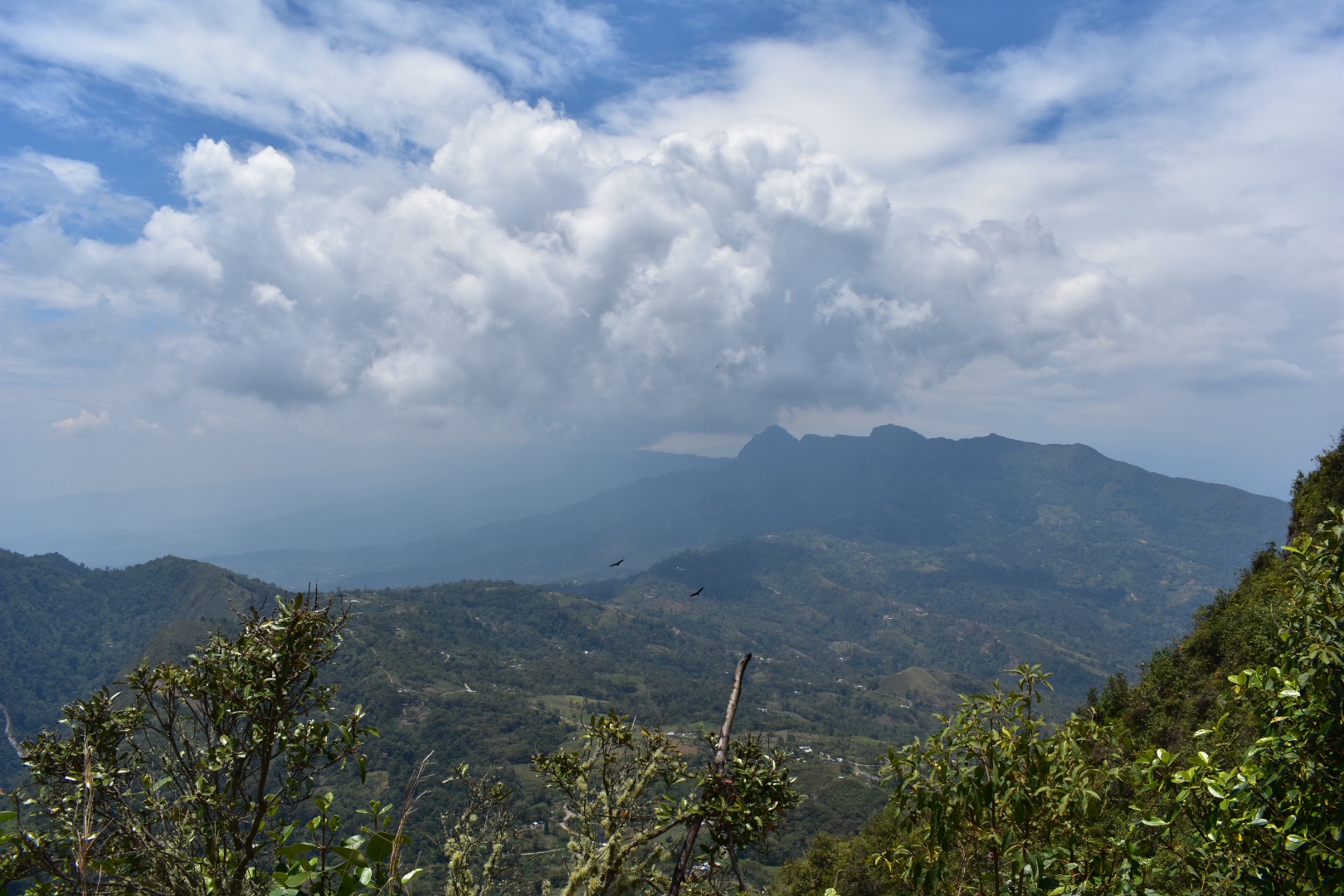

We rested for a time but rarely for our hikes we didn’t bring lunch as it was waiting for us back at the hostel. But you could easily spend a decent amount of time here and its a great place to stop for lunch. We instead decided to head back. It took a good hour or more and in total I think we arrived back at the hostel around 1pm.
Going back down was much faster but it is tougher on the knees. Just make sure you take your time as it can be slippery in places.
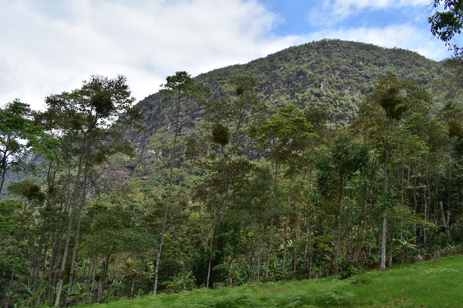
Winston ran away without even saying goodbye and we headed back to pack and have lunch. We were treated to soup sancocho de gallina which thrilled Angela as she had been looking for a soup on a hike since we were walking around Minca. We knew that the Minibuses go back to the main town every 20 minutes so we were in no huge rush. We took our time to rest over lunch, I had a coke to re-energise and we walked slowly back to the trail head enjoying the sunshine. When we arrived there was a bar full of locals enjoying Águila and a game of techo. We grabbed a seat and debated a beer but rejected the idea and a collective soon pulled up. We grabbed a seat and enjoyed the long ride back in the day time where it was possible to see the surrounding mountains. On the return journey you can ask to be dropped at the bus terminal. Within seconds we were on a bus to Bogotá which nearly left without me as I was buy more crisps. Not quite sure why I’m not losing weight with all this hiking…
The bus journey is two hours back to Bogotá and drops you at the same main terminal where you departed. We asked to be dropped by the last Transmilenio station so we could get a head start.

How to get to Cerro Quininí
The main bus station in the south is called Terminal de Sur. The closest Transmileno stop is Estación Bosa. It depends on where you start in the city as to which bus to take to arrive but head to this location. When you leave the bus station take the north exit and turn right, the bus terminal is around 5-6 blocks and will be on your left.
When you arrive ask to get on a bus to Fusagasugá $12000, taking 2 hours. You can jump off on Highway Pan America but my advice is to go to the terminal, take get a bus to Centro and head to the main market and on Carrera 11 there is the collective to Cumaca, $8000, taking a good 90 minutes. On the way back get them to drop you at the main terminal. Read above for more detailed instructions and you might have luck flagging one down from the main road outside of the bus terminal as ours passed both times, but I think the office is the best place.
There are a few small towns along the way and the collectivo go every 20 minutes from around 6am until 8pm, so if you decide to stop in one of the local towns, which seemed quite fun, you can easily get to the trail head.
We decided to stay at Hacienda de Vuelta which worked out at $90000 for the night for both of us including 3 meals each and a good few beers which is a bargain. It’s at the beginning of the trail so a good place to start the hike and beautiful. If you stay at the same hotel as us or close by then that would be my recommendation, although there are plenty of places to stay in the other towns along route and they were pretty lively on a Friday night. You will just need to get a taxi or wait for the collectivo to take you to the trail head. If you do opt for this then remember to bring supplies. There is a small shop at the entrance selling sweets and drinks but not much else
If you are interested in booking a guide, I don’t think you need one to access the park but I’ve read a few posts that says its worthwhile to understand the history of the location you can try this local company. I only saw a sign advertised at the entrance so I can’t vouch for them.
Entrance to the park is $10000, and the second cerro with the phone mast is free. Take the tail up as described on Maps.me. It start where the collectivo drops you off at Estación El Ocobo. If in doubt ask, but its really easy to follow when you have located the map on maps.me

Equipment to take
Even if you decide to spend the weekend in the area the hike will only take you one day, or more likely half a day as it did for us. The main thing is to bring plenty of water and some food but as the weather is generally hot you wont need too much in terms of warm clothing:
- Gortex hiking boots
- Waterproof jacket
- Dry bag or packback cover (I take both)
- Cell phone
- Cell phone battery
- Charger cable
- Sunglasses
- Sun Cream
- Painkillers
- Blister plasters (better if you have a small first aid kit)
- Hand soap
- Tissues
- Water filer
- Sun hat
- Food – enough for lunch and some snacks
- Water 2 litres minimum
Clothes
- Base layer
- Long sleeved light top
- Hiking trousers
- Hiking underwear
- Hiking socks
If you are interested in other weekend hikes away from Bogotá then read my guide to Laguna de Iguaque, a high altitude hike to a sacred lake close to Villa de Leyva a UNESCO heritage town full of delicious restaurants. Or a little further afield is Capurgana, a tropical paradise on the border with Panama where there are many different jungle hiking trails or you can just relax on pristine beaches.
6 Pingbacks